California – Across the Sierras
Nina and I joined Nipun for breakfast the next morning, and then relaxed at Stanford until early afternoon when the time came for me to be on my way. The following night I was due to collect James from Reno airport, so I planned to East to the foothills of the Sierras today, camp overnight, and then continue to Truckee Tahoe where I’d park the aircraft and rent a car for a couple of days. Nina dropped me off at San Carlos and I pre-flighted and received my IFR clearance to Westover airport. I was unsure if I’d be able to camp here, but it looked good from the flight guide so was worth a try.
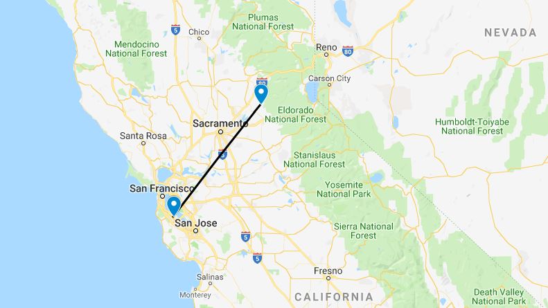
The weather, as usual, was warm and clear! I was cleared pretty much direct at 7,500ft and less than an hour later I cancelled IFR and made my approach to Westover, parking up in the transient area. A quick look around suggested that this was not an airport where camping would be particularly welcomed; it was rather too built up and populated. However, plan B was just 30 miles North; Georgetown airport, with an on-field camp site.


The light was fading as I made the short hop to Georgetown. The airport was deserted when I arrived, and I hurried to pitch my tent before darkness fell. The campsite is situated on a small rise overlooking the airport, and is surrounded by trees, a beautiful location to spend a night. I wandered around the field for a while admiring some of the aircraft parked there, and pitying some which seemed to be abandoned. After a thoroughly unhealthy dinner of snack food, I retired to the tent for an early night.
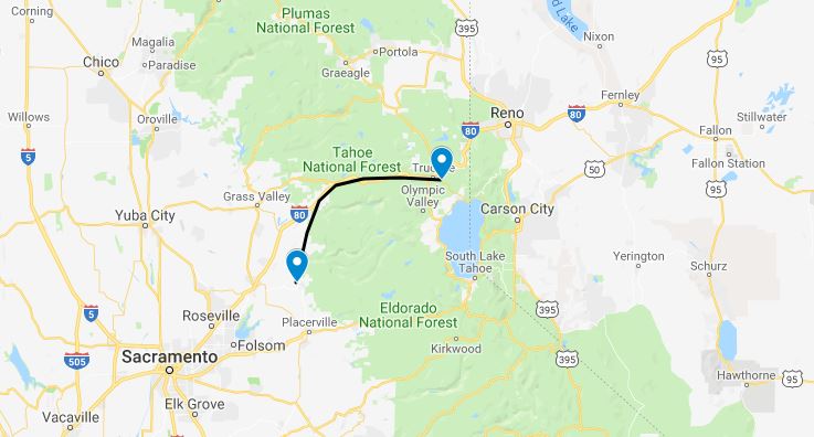
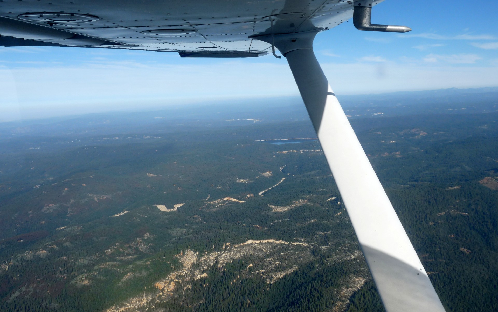
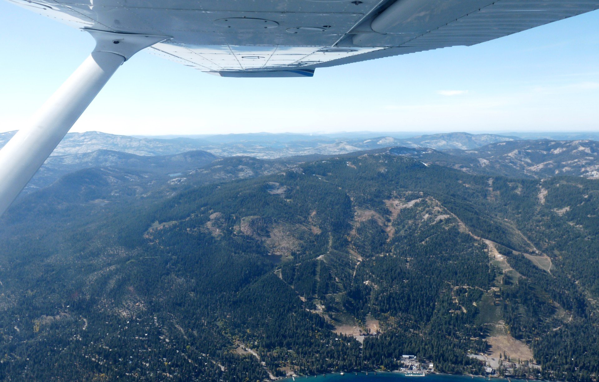
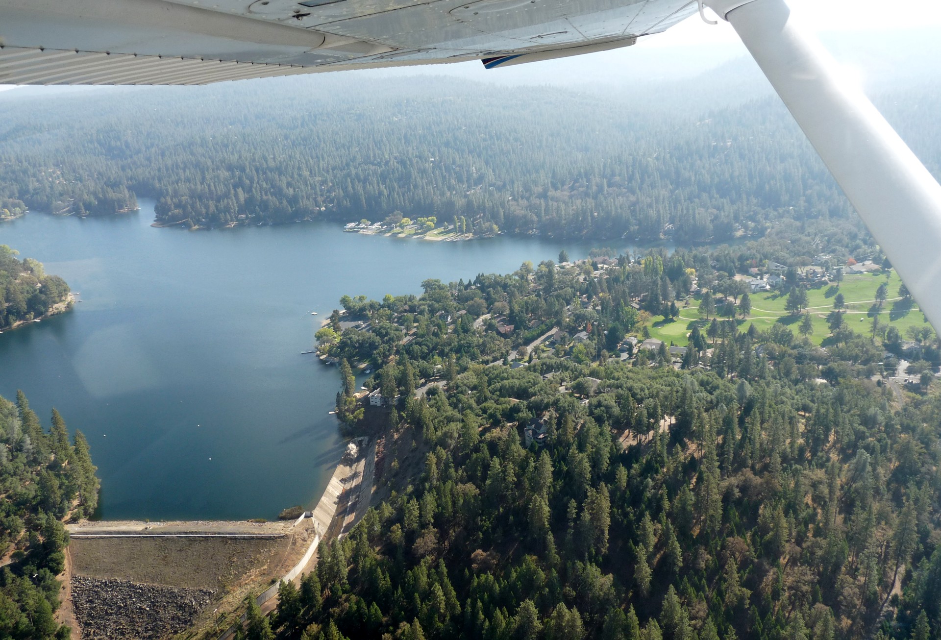
An early start was easy after my early night. I swiftly packed up the camp site and was soon on my way, initially heading North before turning East and following Interstate 80 through the mountains. Mid-way through the flight I passed Blue Canyon, a small local airstrip up at 5300 feet elevation, which I’d love to visit some time; but not today. I carried on following the interstate and soon Truckee-Tahoe airport came into view. As always with airports at this altitude, the approach was noticeably faster due to the lower air density, and the landing roll longer; the runways up high tend to be longer to make up for it though.
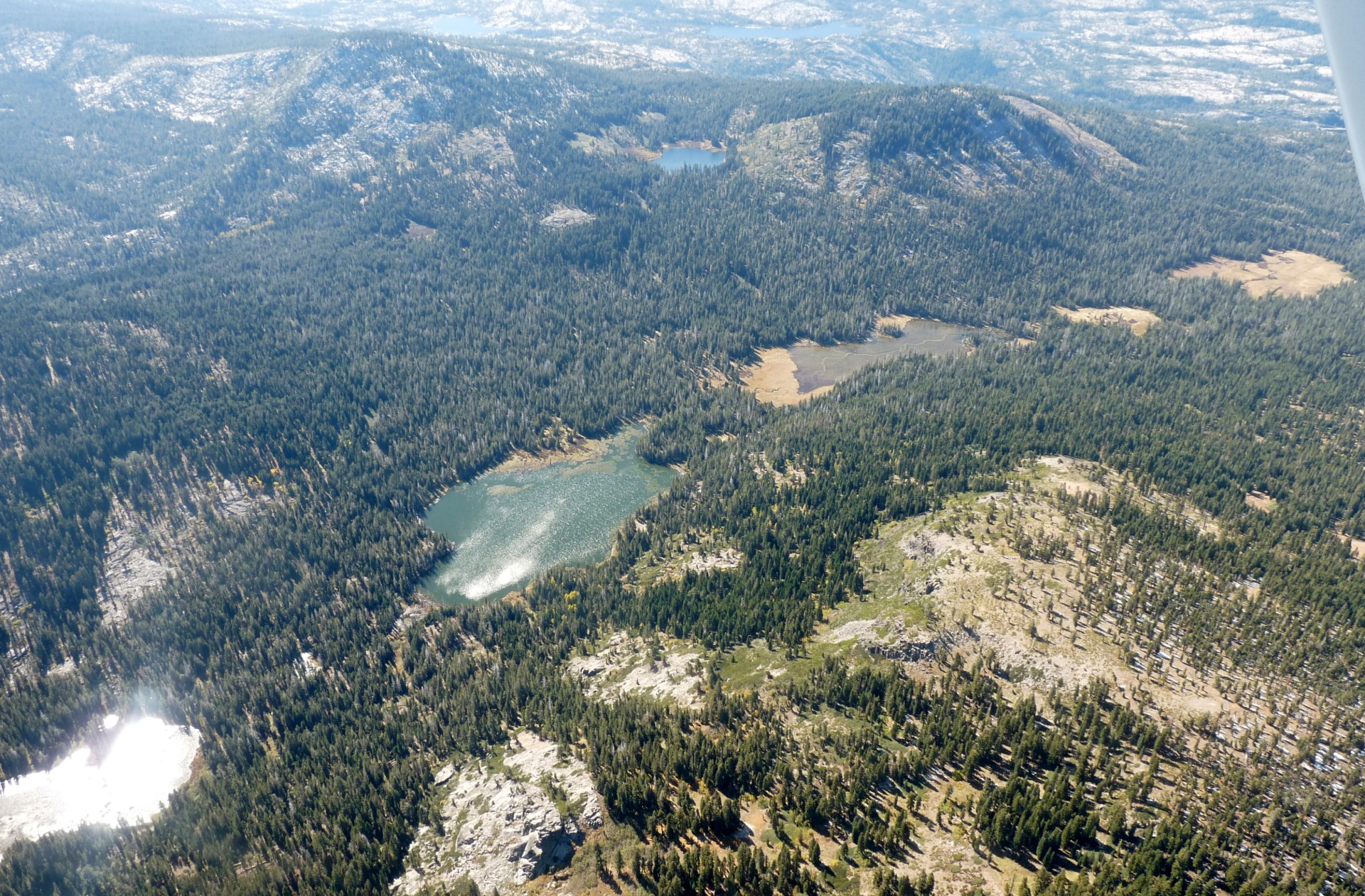
My first stop was the airport restaurant, for an American-size breakfast/lunch. This done, I spent some time upstairs in the control tower on their PC, reserving a rental car and researching where would be best to go for camping. I collected my car and drove over to the aircraft, a freedom seldom afforded at European airports, to load my luggage and headed off to my first choice camp site, a mile or so from the airport. Unfortunately I found it closed for the season, despite the opening times listed online suggesting otherwise, so I headed off into the mountains past a chain of reservoirs to find a site that was still open. Most were not, but eventually I found an open site high up near the upper-most reservoir. It was unattended, and had only 2 or 3 other campers spread across the 100+ sites; perfect!

I claimed a pitch and set up my tent before hitting the road again. The next stop was Reno, to hit the shops and kill time before collecting James from the airport that evening. The route down into town took me down a dirt road; the surface was good but it was still slow going. After a while I made it back to the highway near the airport and set off West towards Reno, less than an hour away from Truckee. The interstate wound steeply down a canyon, with impressive views and what looked like an old wooden water pipeline clinging to the canyon wall across from the highway. For a lot of the way the railway was visible from the road, but it did not seem to be nearly as busy as the Tehachapi line and I saw no trains.
I spent an enjoyable afternoon exploring the suburbs of Reno. In one mall I found a model train shop, the walls lined with tiny replica rolling stock, track, and so on. While I was talking with the owner, another customer entered; he was here to buy a safe. The owner explained that the safe shop was next door, and that he did not sell safes, which perplexed the new customer; he looked around the room at the thousands of model railway items and then asked “So, what do you guys sell?”. Perhaps he was just having an off day…


As the day drew on I headed back into the centre of town and managed to locate some free parking. I still had time to kill before going to the airport, so I decided to go and see what the casinos had to offer. As it turned out, casinos in Reno on a Monday night are distinctly depressing places to spend time. I had no interest in gambling so simply sat with a soft drink and watched the world pass by; or, more commonly, the world sit and feed coins into bright, buzzing machines. I was really quite pleased when it was time to leave and collect James.
It was after 10 by the time James finally appeared, and we set off to follow the sat-nav back to the camp site. It took us a new route, along dirt roads the same as the one I had descended earlier in the day; easily passable, but slow going. It was approaching midnight by the time we neared the camp site, and discovered that the sat-nav was now trying to take us down roads that did not exist. This complicated matters somewhat, but was solved by locating the road I had come up earlier in the day, descending slightly until I recognised the surroundings, and then retracing my steps from the afternoon. We found the camp site and after a few minutes for James to set up his amazing waterproof no-tent-needed sleeping bag we turned in. Not long afterwards, James came to me for the keys. Despite the amazing military issue “sleeping system”, it was not very comfortable out there so he’d be sleeping in the car!
The night was bitterly cold. I wore all my warm clothes inside my sleeping bag and was still barely comfortable, and woke in the morning with ice on the inside of the tent. James was in the car, with a thick layer of frost on all the inside windows. We got the engine running quickly to warm up the car, and packed up the camp site before heading back down the valley towards Reno. The decision was made to camp at a lower altitude that evening in the hopes of more comfortable temperatures!


On the way to Reno we stopped off at a giant outdoor store, just across the border into Nevada, called Cabela’s. The place was bigger than any store I had been into in the UK, with the possible exception of Harrods. Every conceivable outdoor activity was represented with, not too surprisingly, a well-stocked firearm section which was what had attracted James. While he and the sales assistant were deep in conversation about the merits of different pistols and assault rifles, I wandered round the less deadly section, particularly enjoying the wide range of fake geese that were available in a variety of poses and colours.

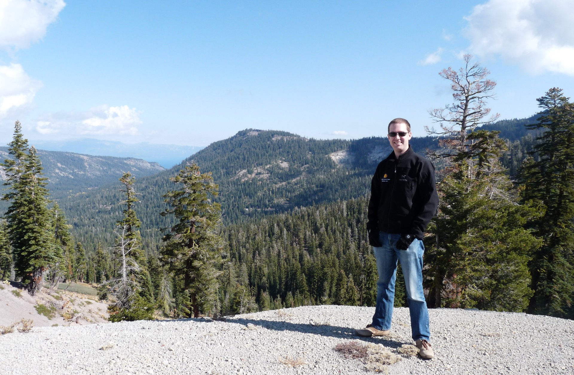
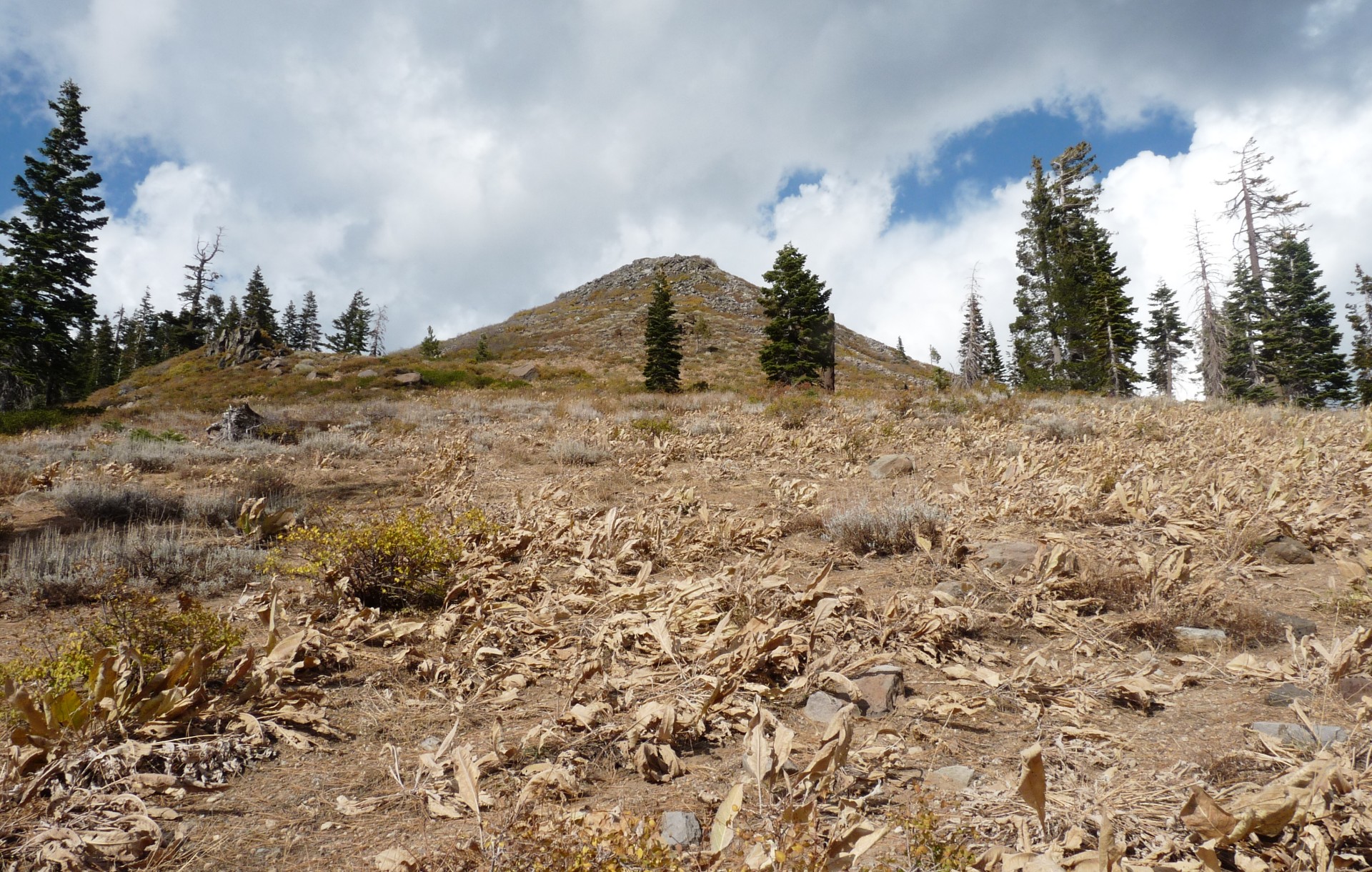
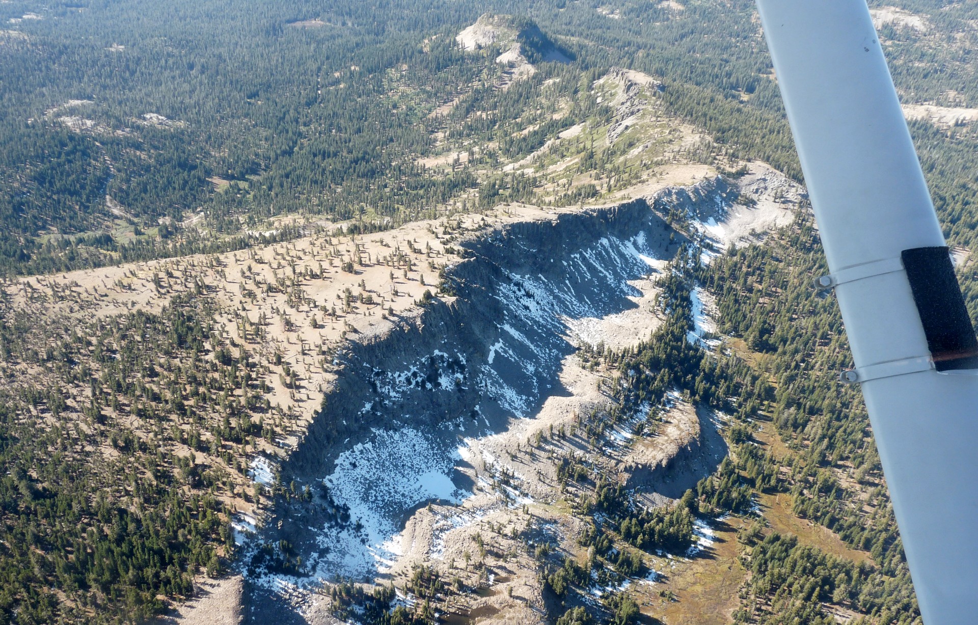
We left Cabela’s without firearms (the ones James likes best are illegal in California) or fake geese (they wouldn’t have fit in my suitcase, and my neighbours at home might not have been impressed with my attracting flocks of migrating geese to the apartment balconies). The next stop was the wonderful International House of Pancakes for some breakfast before we set out in our rental Nissan Versa to explore the area. We drove down towards Lake Tahoe and drove East around the lake, soon coming to a “Scenic Drive” heading up into the mountains. We followed the route up into the hills, enjoying the stunning views back over the lake as we went. Coming to what seemed like the top, we parked the car for a while and walked up onto a ridge to look back over the lake; you could see all the way back down the valley we’d been driving up to Lake Tahoe beyond. You could also see various interesting looking mountains off to one side; “Let’s climb that one!” we said. This was clearly a great idea so we returned to the car and carried on along the road which was by now a well maintained dirt track, and led to the foot of what turned out to be the 8,166ft Barker’s Peak.

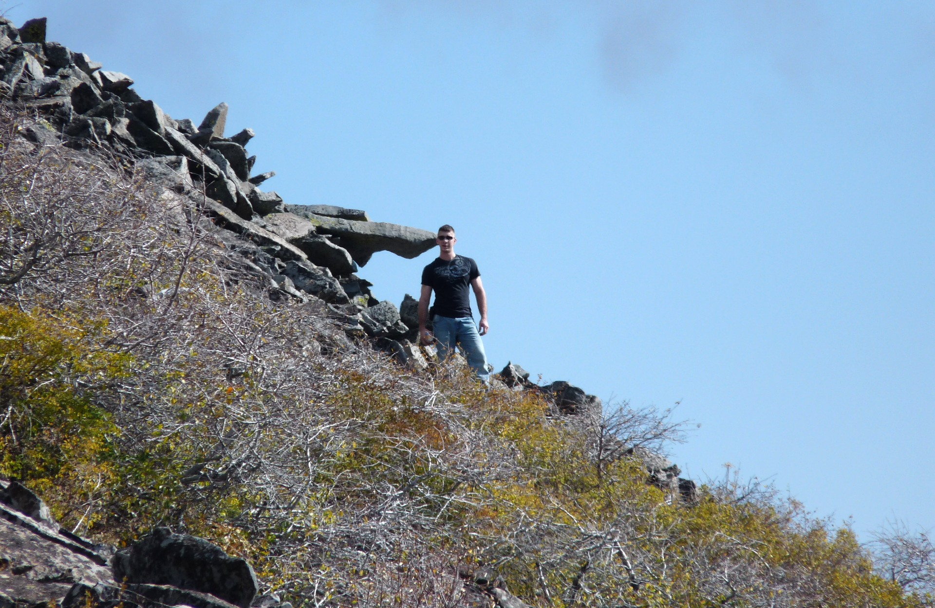
It swiftly became apparent that there were no trails to the top of Barker’s Peak, given that the top section was more a haphazard pile of loose rock than a rugged, jutting peak. We set off cross-country, and soon disagreed on the best way to reach the summit. In the best traditions of scary movies, we split up, with James tackling the hill head-on and me following the trail around the base to reach a gentler slope around the other side. In the end, both routes turned out to be far from ideal and we both struggled onto the top at roughly the same time. It was worth the difficult trek through thin air; the view was amazing! James discovered he could access the internet on his phone from up here, so decided to be the first person to “Check In” on Facebook on top of this rather unremarkable mound; he was disappointed to find that 5 or 6 other people had for some reason previously decided to climb Barker’s Peak and do the same thing.

Aware that we still had half of the scenic drive to go, we rested for a short time and then made our way back down the mountain to the car. Just past the foot of Barker’s Peak was a small signpost with an outline drawing of a sedan car, looking remarkably similar to our own Nissan Versa, and the words “Not Recommended”. However, this is the USA, home of the nuisance lawsuit and therefore the sad requirement to cover yourself from any possible liability; a sign saying “Not Recommended” probably only meant there was a small puddle halfway down. If there was really any problem, the sign would be screaming “Access forbidden for all except off-highway vehicles” – wouldn’t it? And after all, the road down was in our GPS – how bad could it be?
By the time we realised that no, the sign might not actually be exaggerating and that yes, it could indeed be very bad, it was too late to go back. The top part of the trail had been generally downhill, and the first rough patch we gingerly negotiated our way down was impassable in the other direction for the mighty Nissan Versa. We realised that we were on a serious off-roading track, in the Sierra Mountains, in a Nissan Versa. This was not a very good idea; on the plus side we did have all the camping gear so if we got stuck we wouldn’t die of exposure, and we even had a satellite emergency beacon if things got really dire. Of course, if it got that bad there would likely be a very expensive recovery fee from the rental company, so getting ourselves out of our own mess was a very attractive idea.

We soon fell into rhythm. James would walk ahead of the car, pointing out the most favourable side of the track over the rough sections and shifting loose rocks and so on. When it got really bad (which was about every 50m) I’d get out and we’d walk the section, planning exactly where we’d put the wheels, and shifting rocks to move obstructions and fill in holes. It took a few hours, but we eventually made our way about 3/4 of the way along the track, with the occasional heart-stopping thump of rocks on the underside of the car, and one place where we even got stuck for a while. At last, though, things smoothed out a little and became less rocky; “Thank goodness”, we thought, “we’re through the worst”.
Of course, nothing could have been further from the truth. We rounded a corner and came to the first of the water hazards; 20m or so of submerged trail. James probed it with a stick, and it was pretty deep. However, there was no way around…I had to go for it. The Versa formed a bow wave around the top of the bonnet, but powered on through! We rejoiced at our good luck, and saddled up to head down the final bits of the track to town. Of course, we rounded the corner, and found an even bigger pool of water; but, to make us feel even worse, it started to snow. I’d be lying if I didn’t admit to feeling the onset of creeping hysteria, but we held it together and faced the pond head on – despite feeling the drive wheels starting to slip, we managed to climb out the other side. Another 3 or 4 of these, and we were back into the rocks, but with the end in sight; after taking 5 hours or so to go 10km, we finally rolled out into the parking lot at the bottom of the trail. I was convinced that the car would be a wreck, but a thorough inspection revealed no noticeable damage at all – even the underside looked pristine! All that would be needed would be a thorough wash…
The four guys preparing a pair of modified Jeep wranglers to run the trail in the opposite direction were a little taken aback to see us emerge from it in the Nissan.
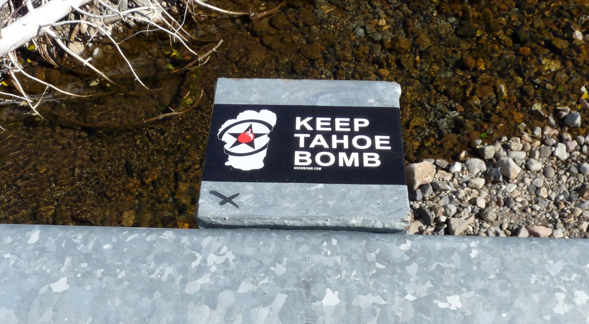
The trauma of the drive meant that we completely failed to take any photographs. This was regrettable, but James vetoed my suggestion that we go back and do it again so we could take some.
Still hyped from the adrenaline, we drove North around the lake to find dinner, and ended up in a small grill by the water. The food was excellent and, as always in America, came in portions sufficient for a family of five. Dinner completed, we decided it was time to find some night life, and headed to Reno! Unfortunately, Reno on a Tuesday night is not the most exciting place to be. We wandered around one of the casinos for a while, neither of us being gamblers, and ended up at one of the bars talking to a travelling trailer salesman. A few hours of Reno was more than an enough for a lifetime, so after trying one more dreary and depressing bar we headed for the camp site near the airport. It was closed, but given that it was the middle of the night, there was no-one to complain about me pitching my tent for the night, and James bedding down in the car again. The night at this slightly lower elevation was a few degrees warmer, but still below freezing, and that made up our minds for it; we were heading for the coast!
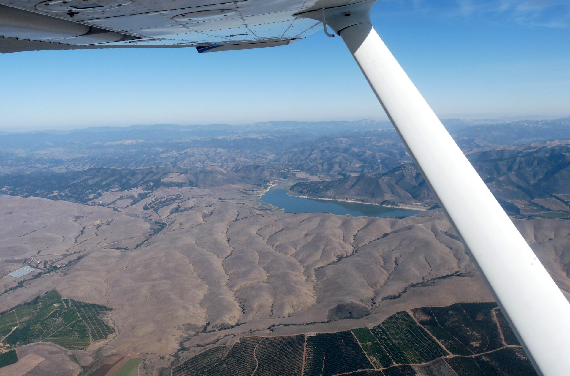
We packed up our camp site early to avoid unwelcome attention from both state employees, and the rabies-ridden squirrels which large warning signs informed us were out for our blood. A quick breakfast, and a wash of the Nissan (it was really, really dirty) and we headed back to the airport. We loaded the aircraft and dropped off the rental car without arousing their suspicions (to be fair, the car was fine) and took off. The airport at Truckee is up at 6,000ft+ so aircraft performance is not impressive. The noise restrictions for Truckee dictate a route to follow out of the area immediately after take-off, but unfortunately we were nowhere near a safe altitude by the time we got to the turning point for the departure route. Safety always comes first, so we made a few circuits of the airport to gain altitude before setting off south over Lake Tahoe.


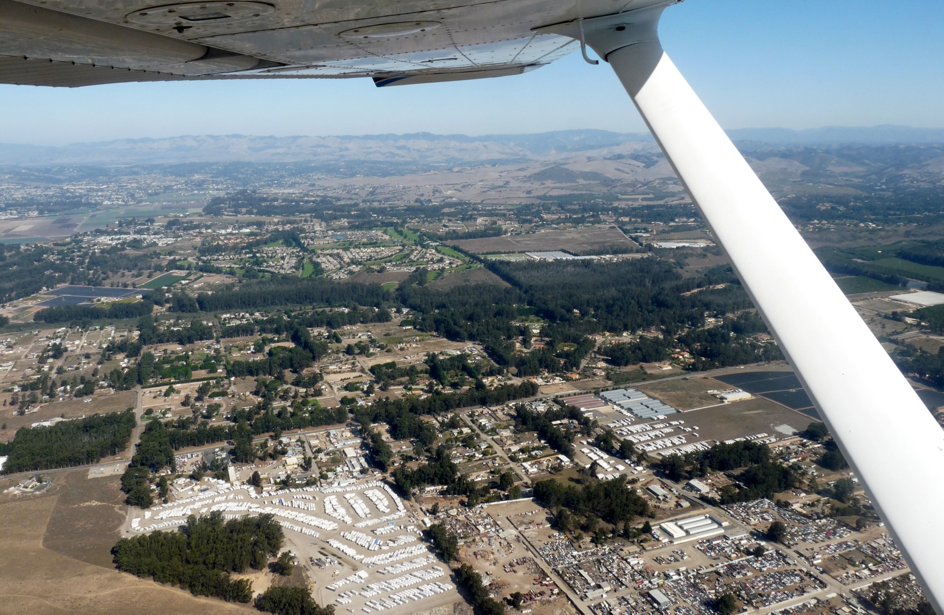
We flew due South over Lake Tahoe, taking time to do a few orbits of Barker’s Peak and try and spot the trail we’d taken yesterday. That done, we flew across the lake and struck out South towards our first stop, Pine Mountain Lake. This is both a public use airport and a residential airpark, and we wanted to see if it was possible to camp there. It soon became clear that it was not ideal for this, so we spent a couple of hours there relaxing in the lounge, recharging electrical gear and refueling, before deciding to set out for a favourite destination of mine; Oceano. Here at least we knew we could camp, and spend a relaxing day before returning the aircraft to Camarillo.


We took off and headed first for Harris Ranch, a well-recommended restaurant which has its own airstrip. Half way there, however, we came across a small crop-dusting airfield called Chowchilla. We liked the name, so we landed there, and then took off again immediately for Harris Ranch.
Parking is next to the petrol station, and indeed there’s an AVGAS pump which is simply an extension of the petrol station that serves the interstate. It’s about a two minute walk to the restaurant which also has a general store attached selling the ranches own beef and other “country” items. The food was superb, and I’ll definitely be making return visits!


After a long lunch we made our way back to the aircraft, did a quick pre-flight and flew the short hop to Oceano. I tied up in my usual spot near the camp site as there were no other visitors, and reflected on the fact that the first time I’d visited, in 2007, N6543V was the aircraft I had seen taking off that night as we were setting up our tent. It was a coincidence to now end up here flying her; I hadn’t realised I’d seen her before until reviewing photos from 2007 after I’d already booked N6543V for the 2009 trip. We walked into town (not that there is much to the town) to stroll on the beach for a while before visiting the local store on the way back to collect firewood and food for the evening.


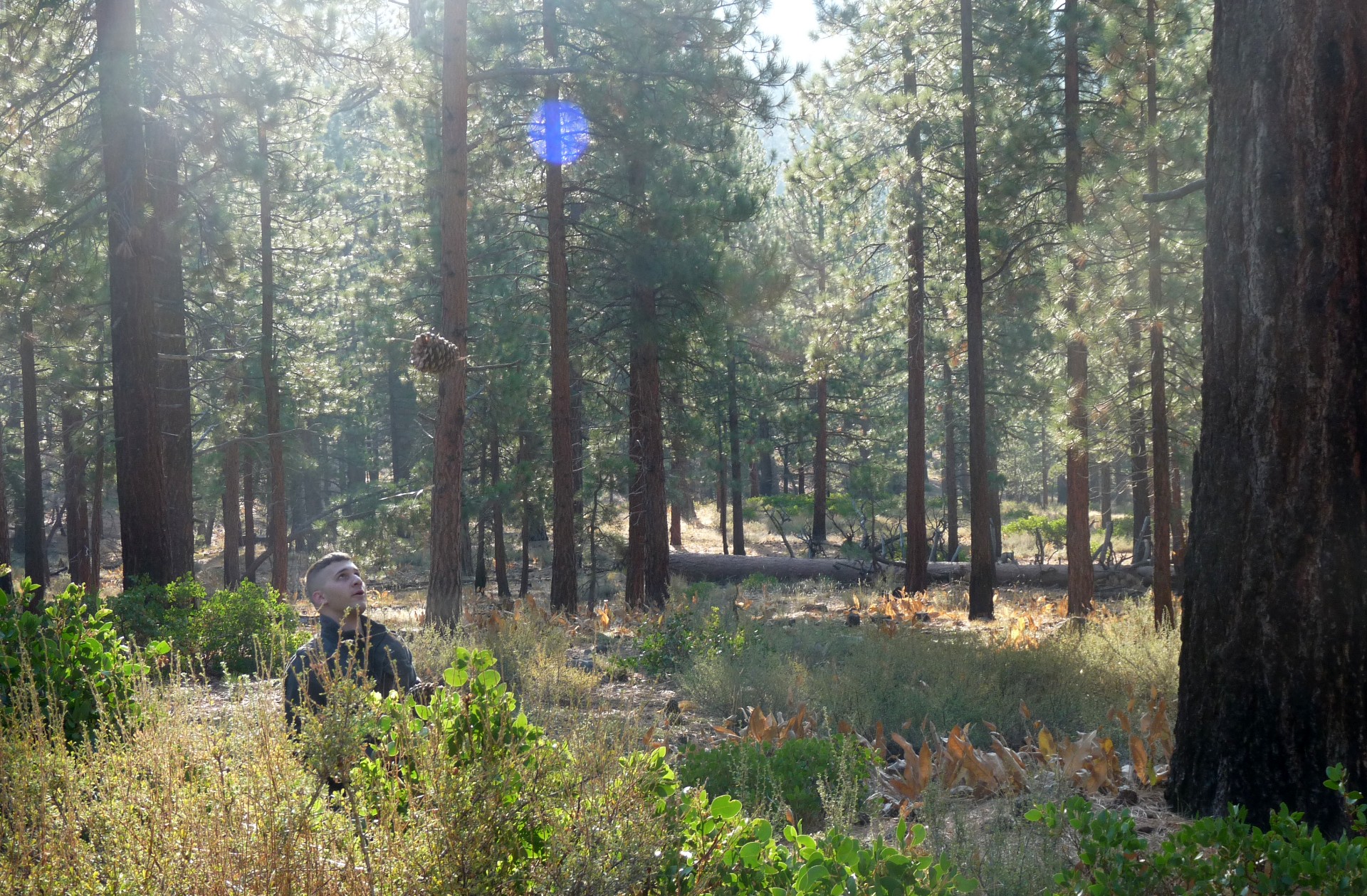
Bear Grylls somehow manages to coax fire from a few damp twigs and the lint from his pocket. James and I failed to coax a fire from dry, packaged firewood, despite a firelighter and healthy doses of AVGAS. It did at least burn for long enough for us to cook some frankfurters and marshmallows before I retreated to my tent, and James to the pilots lounge. Down by the beach, it was a much warmer night!
A very useful feature at Oceano is a small shed with bicycles in, for use by visiting pilots. We took advantage of this facility to cycle North to Grover Beach for breakfast at a small cafe, and then spent a while attempting to locate a hobby shop to buy model train track. Through a combination of unclear maps and James’ expert navigating, we failed miserably, and ended up slogging back to the airfield over the hills in the heat, getting stuck the wrong side of the railway line in the process. It was at least good exercise.


The rest of the afternoon was spent relaxing around the airfield and entertaining ourselves feeding the geese at the pond next door. For some reason they seemed determined to bite James’ legs – the most likely explanation is that they took offence at his rather poorly judged haircut. That evening we were much more successful with our campfire, and even discovered that we could connect to an unsecured Wifi point while sitting around the fire; possibly rather missing the point of getting away from it all…
All too soon, it was time to take 43V back to her base, and head back to Europe. Having been woken, yet again, by James’ never-tiresome bigfoot impression, we quickly packed up the campsite and gave my tent a chance to dry in the sun for a while before loading up the aircraft and departing over the beach. Even at this time of morning the vehicle traffic was busy, driving up and down the sand (this being one of the very few spots in the USA where driving on the beach is permitted).
The usual morning low overcast layer was visible spilling onto the coastline as we flew Southeast towards Camarillo. James handled the controls, leaving me free to enjoy the ride and take photos, as well as keeping up the usual lookout for other traffic. We flew the VOR approach into land, getting in one last practice instrument approach, and parked 43V back up at Channel Islands Aviation.

We drove back to LA via an Indian restaurant and several hobby shops. The Indian restaurant was excellent; the hobby shops, disappointing. I did buy one item from a shop near LA Airport, and on my return to Holland decided I wanted another matching one; I found one on e-bay and ordered it but received a message from the seller saying that he’d recently sold the last of his stock. I checked out the store in more detail and discovered it was in fact the same one I had been in in LA; I had, effectively, narrowly beaten myself to buy the last one.
I waved James off for his flight and settled into my hotel for the night. The next day it was back to Holland, and straight back to work; as always, a rude awakening after several weeks of great flying!
Click here to return to the Adventures index.