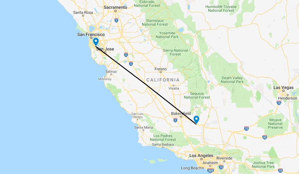
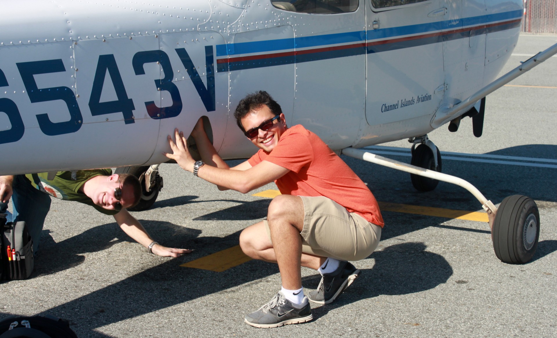
California – to San Francisco
The desert heats up early and it was not long in the morning before I was driven out of my tent by the increasing temperature. After a simple breakfast I packed up, and made my way back to the aircraft; this time following the road which turned out to be a far easier route, even if slightly longer. It took only a few minutes to load and pre-flight the aircraft; I took off down hill and turned northeast.


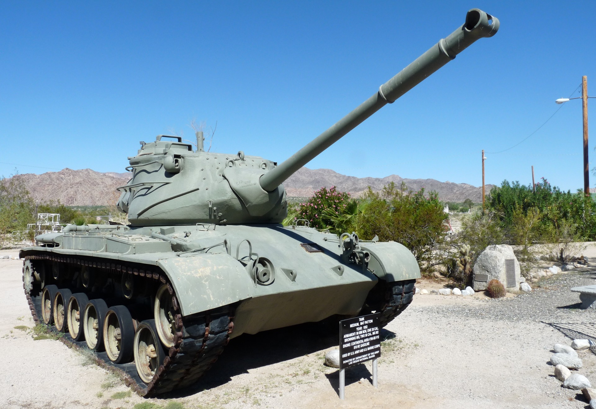
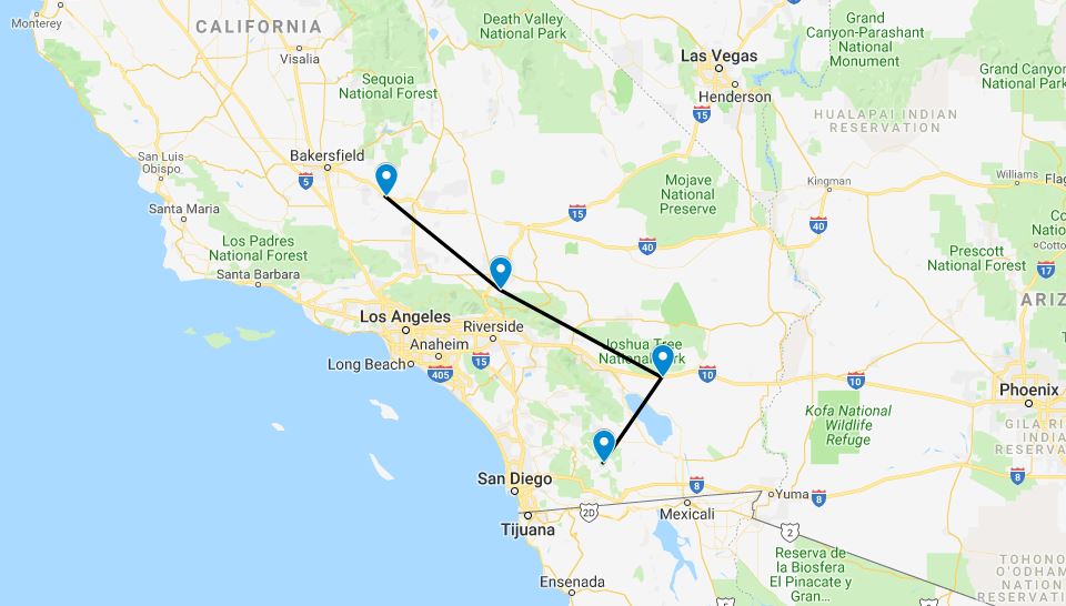
The first destination was a small airstrip known as Chiriaco Summit, which was used by General George Patton as a training area in World War Two to acclimatize the fighting men to the conditions in North Africa. A runway was constructed there, and has been kept in use through to the present day. The only other establishments at the site are a cafe/gas station, and a museum dedicated both to General Patton and tanks in general.


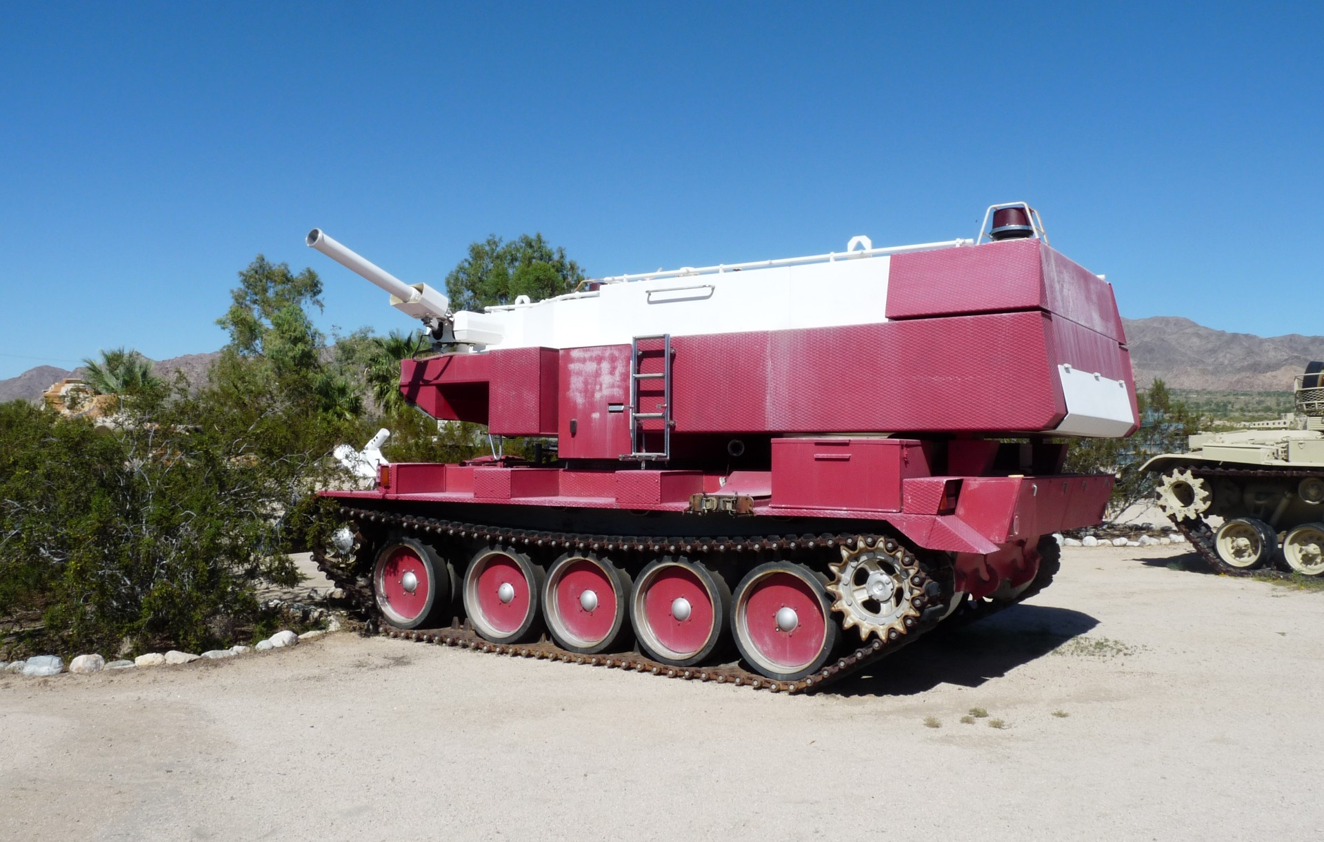
The first plan after landing was to get something to eat. I tied the aircraft down in the parking area, which was handily located adjacent to the truck parking area. A large brunch later, I made my way to the museum to see what it had to offer. A film crew were filming some kind of documentary as I arrived; I paid my $5 entry fee and slipped past them into the main part of the museum. The internal area contains information and exhibits on the history of the site, and Patton and his exploits in general. Outside, past the sign warning of rattlesnakes, was a somewhat eclectic collection of donated tanks. Some were World War Two vintage, but most were most were a seemingly random assortment of more modern tanks and other military vehicles from the USA and elsewhere, donated to the museum mostly by their old military units. No maintenance seemed to be done on the vehicles, and they were in varying states of decay, the oldest ones sinking into the desert floor and generally wasting away.


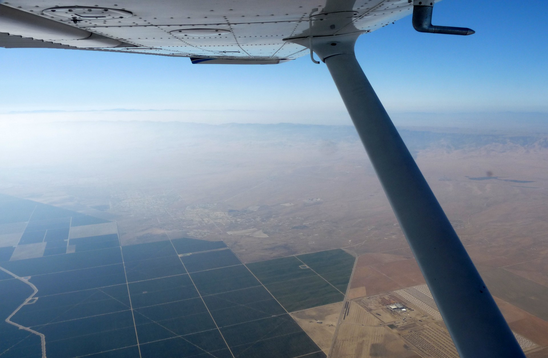
On my way back to the aircraft, I stopped off at the tourist information centre which is co-located with the cafe. I spent an enjoyable half hour discussing the history of the location, as well as my trip, with the gentleman manning the desk before moving on to pre-flight the aircraft again, and depart. The next leg took my to an airfield called Hesperia, which I had chosen for two reasons. Firstly, it had cheap fuel, and secondly the restaurant there came highly recommended! I departed Chiriaco Summit and turned northwest, climbing to 10500 feet as I went in order to safely clear the high ground along my route.
This high ground included Big Bear Lake, and Airport, a very pleasant destination which we had flown into in 2009. This time I carried on overhead without stopping, although it was tempting to drop in, and started a slow bumpy descent towards Hesperia. A quick fly-by to check the wind direction and I landed on the small uphill runway and parked up near the restaurant. A small boy with his grandfather had watched me land and park, and they approached as I tied down to find out where I was travelling from and to. I let the little boy sit in the aircraft and have a look around; it’s always good to try and get more people keen on aviation! Breakfast at Chiriaco Summit had been a hotdog, so I balanced things by having pancakes for lunch at Hesperia. It’s great being on holiday.


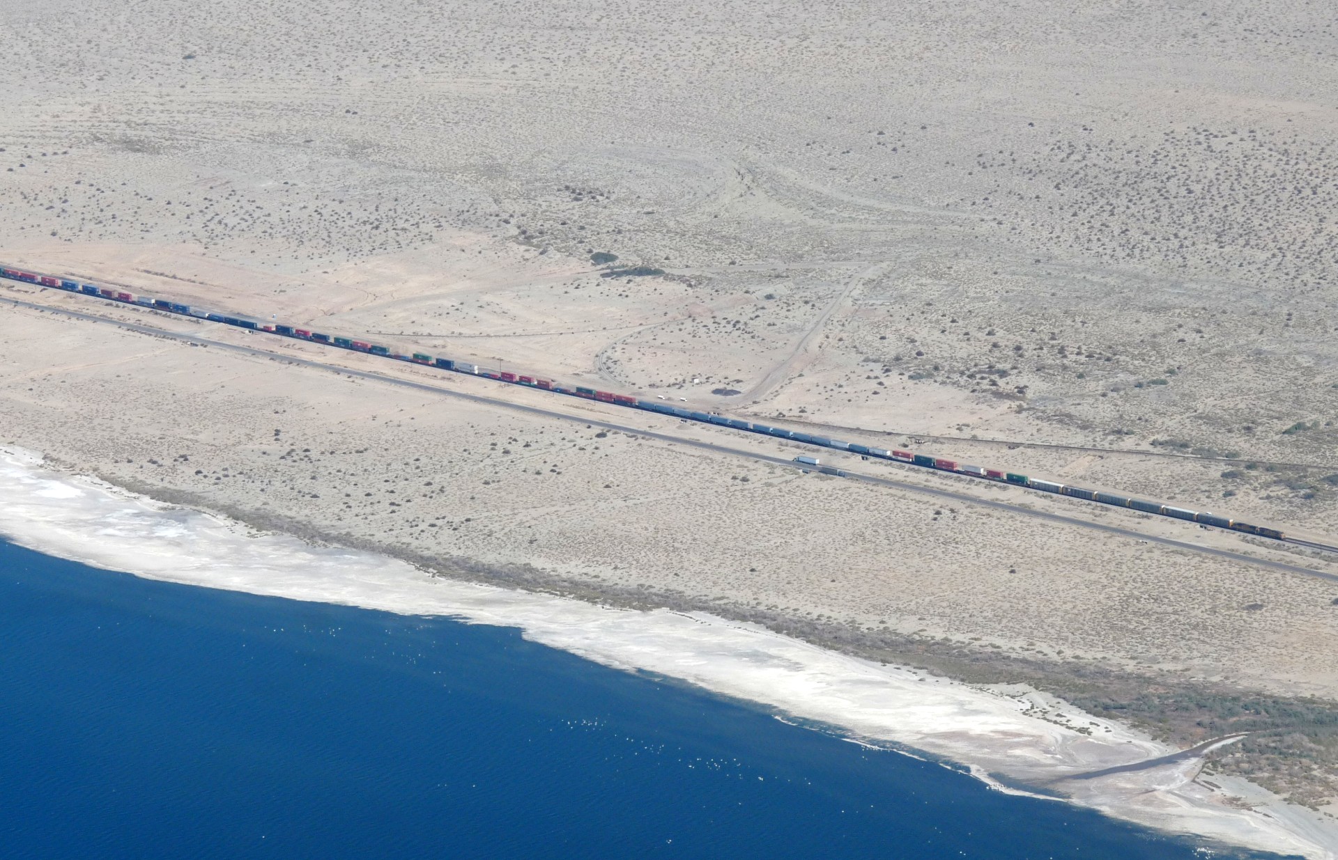
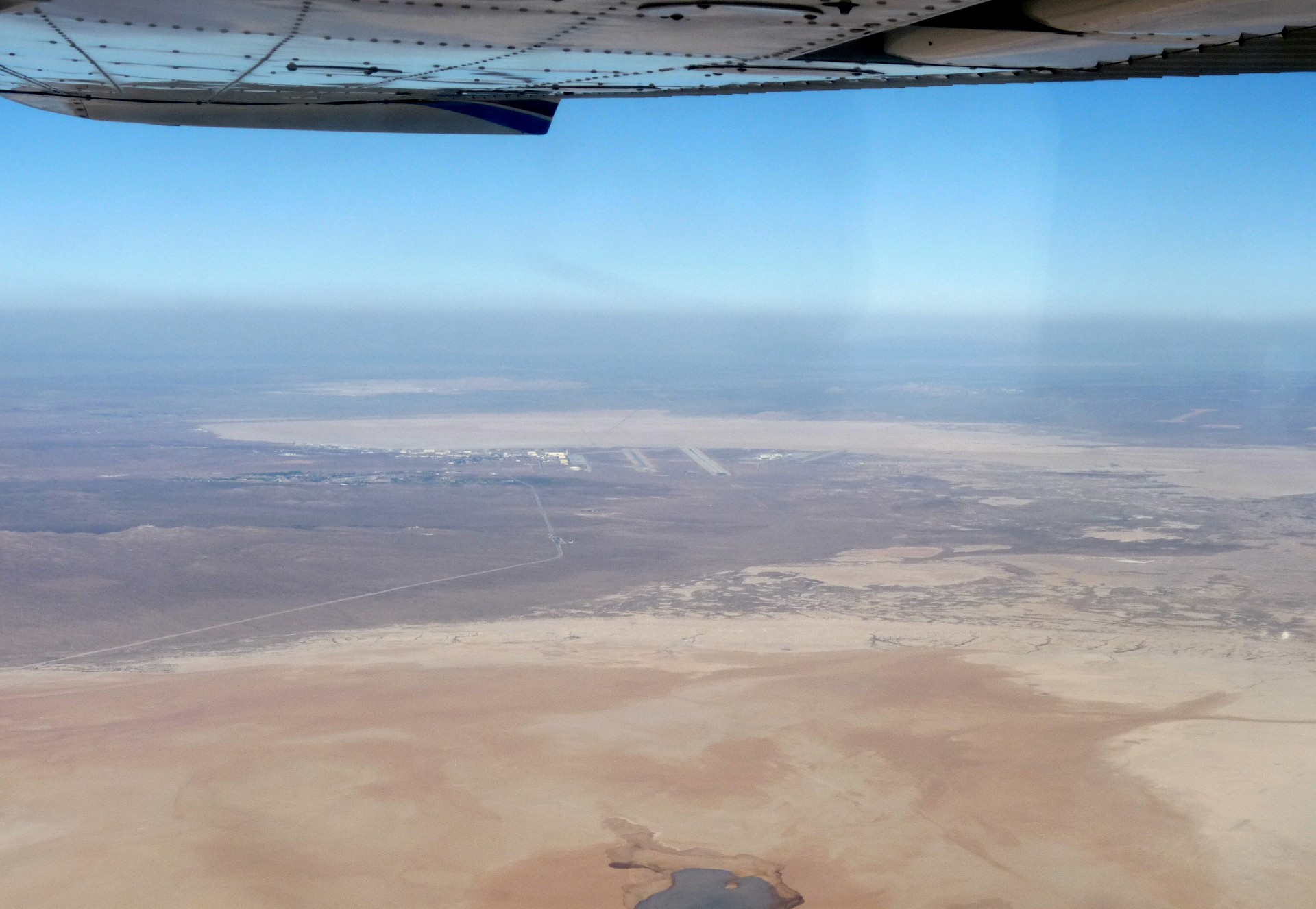
The cafe was well situated to watch traffic coming and going at the airport, although it was not a very busy day. After lunch I refueled and took off to fly to my night stop, Tehachapi. The flight took me across the fringes of the Mojave desert, and as I flew I could see the huge runways of Edwards Airforce base in the distance, as well as an interesting and bizarre looking electronic warfare aircraft flying circles far below me. Tehachapi airport is located just a few miles away from another airport, which is primarily a gliding site, and both locations were relatively busy as I flew in, with several aircraft heading into Tehachapi ahead of me and a number of gliders and tow-planes in the air. Parking was available right next to the on-airport camp ground and it did not take long to set up my site.
That night was not the most relaxing I have ever had. Tehachapi is a railroad town and a major freight line runs through. Roughly one enormous freight train comes through each hour, with 4 or 5 locomotives, and at each of the many level crossings in the town they are obliged to blow their airhorns. There are quite a number of railroad crossing in Tehachapi, it turns out, and the campsite is a mere 50 metres or so from the railway. Early in the morning, previously hidden sprinkler heads popped out of the lush grass and created a localised rainstorm; on the plus side, it did demonstrate the water-tightness of my tent.
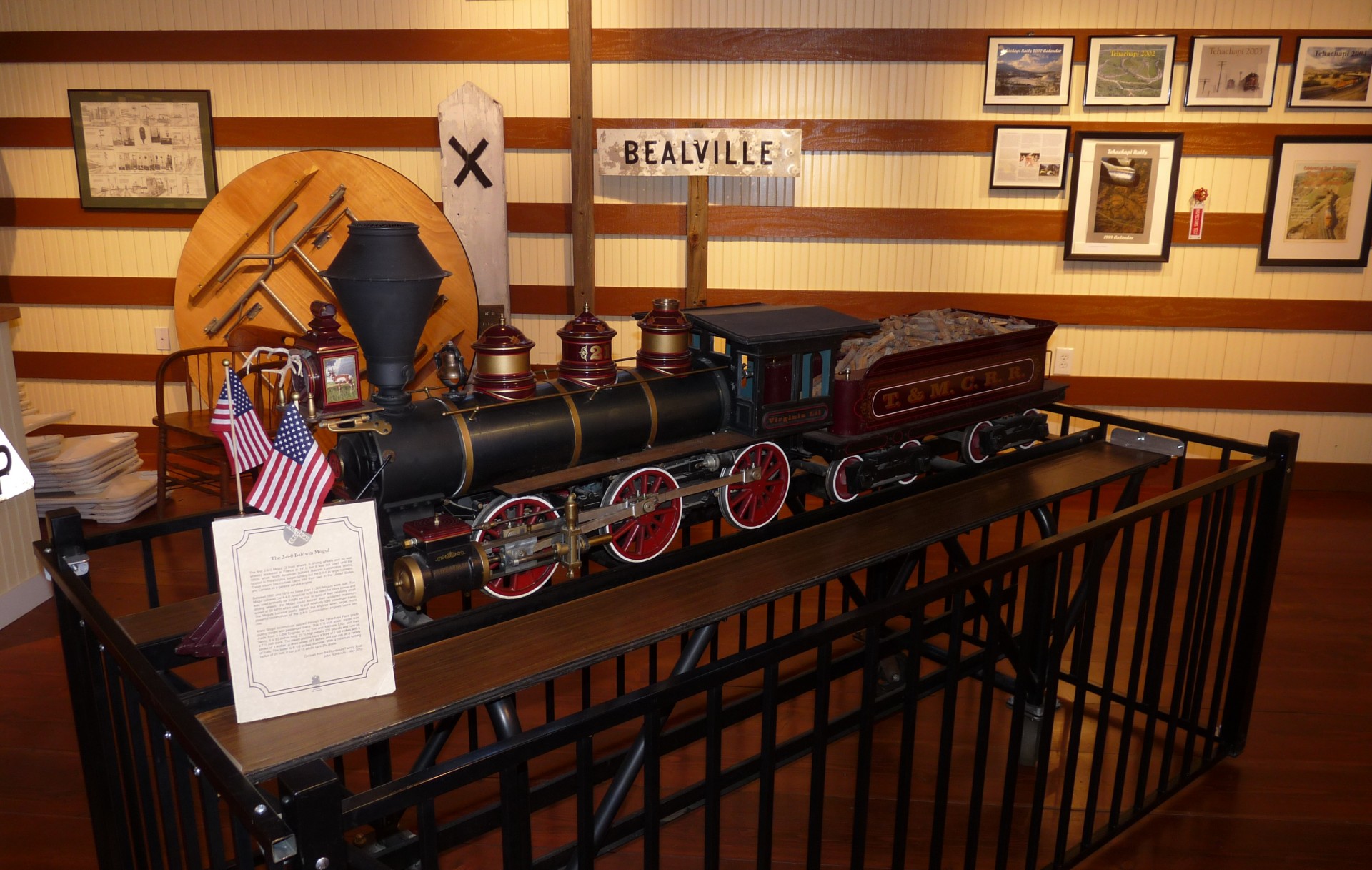
My first stop of the day was the Tehachapi railroad museum in the centre of town. This told the story from when the railroad first came through town up until the present day, and was a reconstructed version of the old passenger station. Passenger trains had ceased to come through town some years before, and the original station was being restored for a museum but burned down shortly before completion. The museum was excellent, and I was guided around by a retired railroad buff who had moved to the town after finishing his work in Los Angeles. After chatting for a while he invited me to return to the museum when it closed at 1600, and he would take me driving along the railroad service track down to the world famous “Tehachapi Loop” where the track turns a full 360 degree spiral to gain height through the Tehachapi Pass. He also gave me some tips for things to see around town until then, so I set off to do some shopping and view the murals which decorate various buildings around the Tehachapi.


I returned to the museum at 1600, and accompanied my new friend while he closed up. His car was a new model Toyota 4×4, which turned out to be essential for the track that we were going to take; it was an un-maintained dirt road that ran alongside the railroad for construction equipment and inspection runs. Over the last decade security had been becoming tighter and tighter along the railroad; while railroad buffs used to be able to come and watch to their hearts content, these days people were abruptly run off by employees of Union Pacific. However, one or two locals were still allowed to visit, my guide among them.


This time of the afternoon was a busy time on the railroad and several trains passed us as we traveled towards the loop. The quantity of goods being moved across the country was impressive! As we went, various local landmarks were pointed out to me; mostly houses along the railroad where friends of my guide lived! A number of them, my guides’ among them, were perched on the hills overlooking the rails and offered ideal homes for railway enthusiasts; outside of town the number of road crossings, and hence number of horn blasts in the middle of the night, were considerably reduced. Eventually we came to the famous loop, and drove up to a vantage point on the hill which overlooked the entire area. Having seen numerous trains on the drive here, our luck ran out, and we waited for an hour or so without seeing any rail traffic at all. We were just starting to give up and return to the car when a horn blasted, far down the valley.


In the distance, through the haze, we could just make out the front end of a freight train coming up the valley. As it came closer more detail was apparent, three locomotives at the front of a long stream of automobile carriers, and a single helper locomotive bringing up the rear. As the train proceeded around the loop the front end came around and met the back end, passing over the top of it as the train now extended around the entire loop. As the train moved on we returned to the car and back into town, stopping off to pick up his wife on our way to dinner at a Japanese restaurant near the centre of Tehachapi. Afterwards they kindly dropped me back off at the airport, and I turned in for another night of sleep interrupted only by loud trains and early morning sprinklers!
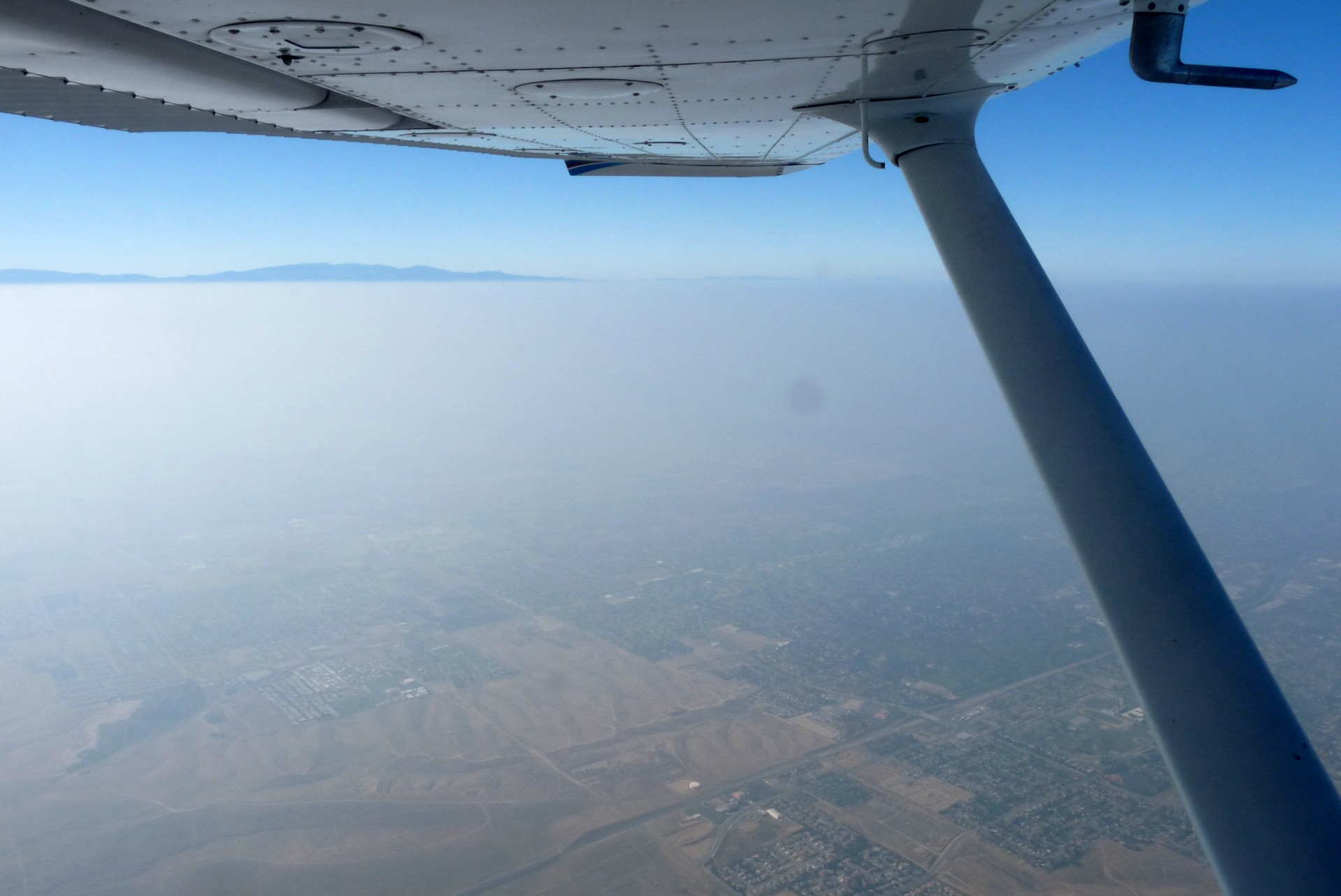
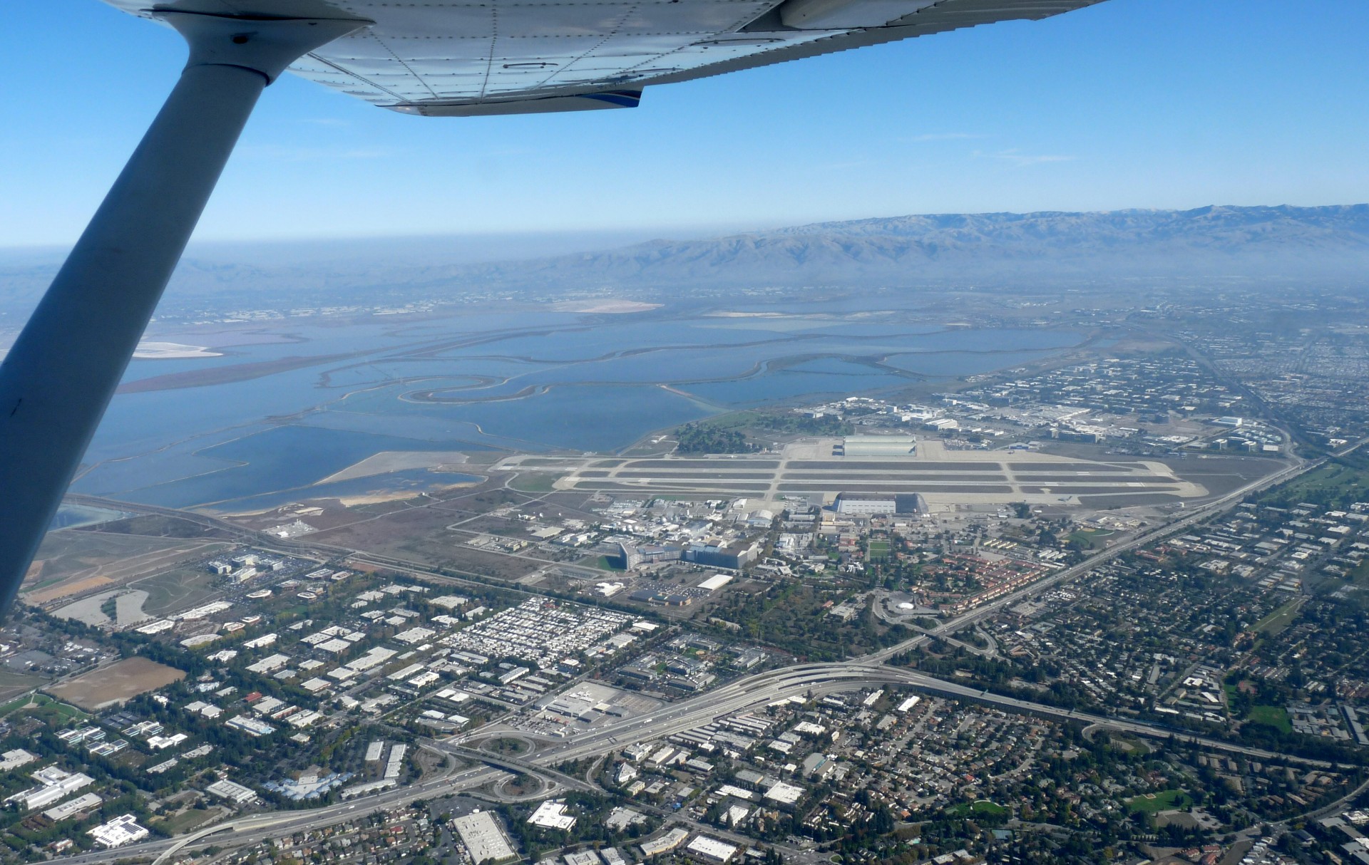
The flight to San Francisco would be a two hour leg, and basically just a straight line from Tehachapi. The valley was full of mist when I awoke, so I packed up the campsite and waited for the mist to burn off. I departed VFR in order to fly down the railway line and take some pictures of the loop, before continuing NorthWest and climbing to pick up my pre-filed IFR clearance to San Carlos airport. The flight was uneventful, a straight line to the NorthWest across the central valley and then a gentle descent over the hills for the GPS approach into San Carlos. The airport was still familiar from my visit two years previously, and I parked up in the same place as before and went looking for my friend Nina who was studying at Stanford and would be my host for the next two days.

We zoomed off through the suburbs around the airport towards a shop I wanted to visit. Navigation, however, soon became an issue, but we were saved after I clambered into the back of the car to extract the GPS from my luggage. Parking near my desired shop, we found something even better; an English food shop! Full of real chocolate (none of the horrible American rubbish), cans of baked beans, and an astounding array of tacky Union Jack and Royal wedding memorabilia, it was an enjoyable place to browse (and buy chocolate) before we made our way to lunch at a Mexican near the university.


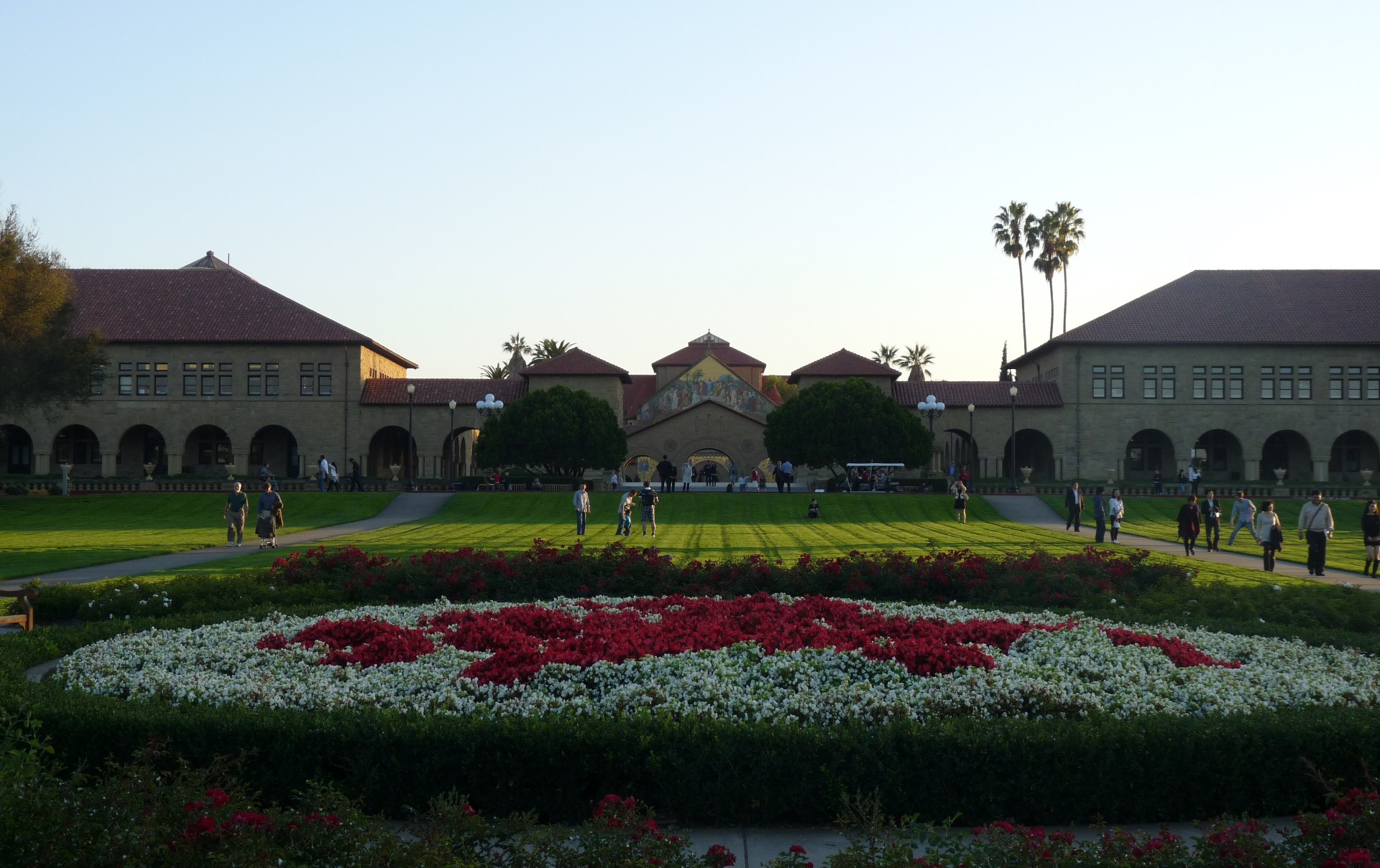
That afternoon we relaxed in the sun on the lawn out the front of Stanford’s main buildings, before driving North through San Francisco itself to the Golden Gate Bridge. While I had seen this from the air more than once, I had never crossed it at ground level. Even at night, the bridge is extremely impressive and offers commanding views back across the city; there are viewing areas at both ends of the bridge where you can stop and take in the sights. We were driven back into the car by the cold before long, and made our way back to Stanford; the next day we’d be flying, for a change!


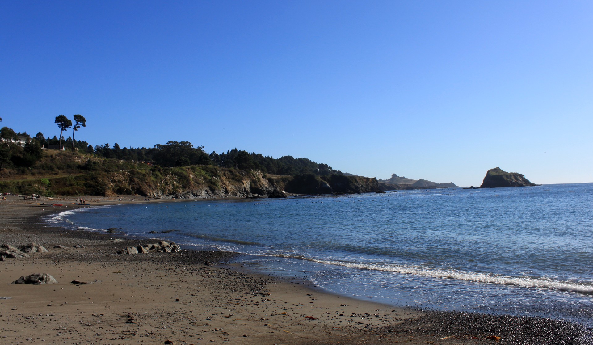
The next day we met up with 2 of Nina’s friends who had both studied at Stanford and now worked nearby. After a breakfast of bagels (when in Rome, etc…) we drove to the airport and pre-flighted. The weather was perfect, with a clear sky and pleasant temperatures. Today’s plan was to fly North to a small airport called Little River, and then walk the few kilometres from the airport down to the coast for lunch and some time on the beach.


This being a Saturday, and beautiful weather, everyone else had decided to go flying as well. We queued for take-off with about 6 aircraft ahead of us, as well as several flying around in the traffic circuit and the occasional arrival. After what seemed like hours, we were given our takeoff clearance and departed on the Southerly runway, turning out West to the coast and then heading North for Little River. A few minutes into the flight we passed San Francisco International, and shortly after that the Golden Gate Bridge appeared. We flew in closer for a better look and some photographs before continuing up the coast.


The flight was smooth and uneventful, and before too long we were starting our descent to the traffic pattern at Little River. The airport has an automated weather reporting system, which reads the current weather to you over the common radio frequency when you transmit. We were the only aircraft in the area and were free to approach and land at our leisure. Moments later we were parked up and getting directions into town from the attendant at the airport shack; apparently, it was downhill all the way! The walk back, however, might not be so easy; but we didn’t have to think about that until later, did we?

The road into town led steeply downhill through a dense forest, with little traffic and the occasional forest home almost hidden in the trees. It looked like an idyllic place to live, close to both airfield and sea, and surrounded by gorgeous wooded hills! As we went we debated the merits and pitfalls of travelling from the airfield into town by roller-skate, only to turn the last corner and be confronted with a T-junction at the bottom of the steep hill and appropriately enough, directly opposite was the town cemetery. This was taken as a definitive argument against the roller-skating idea, the helpful placement ensuring that you would end your rather misguided thrill-ride in the right place, at least.


Lunch was at the deli and general store located inside the gas station. While not as impressive as the fine cuisine at the Whoa Nellie Deli that we visited in USA 2009, the food was still good enough and with sufficient variety to ensure that the vegetarians in the group were also happy. Mealtime complete, we wandered down to the beach which was fairly active with kayakers, as well as a group of wet-suited people who seemed to be doing their best to fall into the surf and be dashed on the rocks, but we were assured that it was indeed a legitimate pastime and not as foolhardy as it appeared.

After a relaxing hour or so on the beach, which I mainly spent photographing seagulls, it was time to head back to Stanford. However, between us and our aerial steed lay an almost insurmountable obstacle; a moderately sized hill. For a resident of the Netherlands, this was quite a novelty and not entirely unwelcome. We started our walk, only to meet a middle-aged American lady coming the other way who engaged us in conversation and, learning of our destination, set off towards her home to fetch her car and drive us there. We kept walking, to make a little progress before she re-appeared, but before too long the ladies decided that our transport might not be going to show and elected to hitch-hike. Nipun stayed with the ladies for their safety, and I continued my hike in an effort to beat them back to the aircraft. A mere 10 minutes later however, a beaten up SUV slowed down behind me and hooted its horn. A large, hairy, and heavily tattooed American leaned out towards me which gave me pause for thought until I spotted the others in the back of the car, so I hopped in and before long we were back at the aircraft.


We refueled the aircraft and chatted to some local pilots for a while, one of whom turned out to be a member of the same internet flying forum as me. We departed before it became too late, however, as we had to be back in Stanford in time for a dinner appointment with some other friends of Ninas’. The flight back was once again smooth, and I filed IFR once airborne in hope of a direct routing across San Francisco, as well as for the practice. All it got us was a long drawn out route to final approach at San Carlos however, so we secured the aircraft quickly and made our way to the “Cheesecake Factory”. As well as, unsurprisingly, cheesecake, this restaurant chain serves just about every single tasty American dish I have ever come across, as well as plenty of others. It was clear that I’d have to visit again, probably several times. For dessert I elected to order some kind of chocolate monstrosity which was the size of a large house-cat, and my dining companions kindly informed the waiting staff that it was my birthday, ensuring that dessert arrived accompanied by candles and a lot of singing employees. It was 5 months from my birthday, but it was a nice thought anyway.
Click here to read the final part of the story.