Round the World – The Pacific, Part 8
Rain pounded on the roof of the hotel on and off throughout the night, disturbing my rest. We were due to be taking off before dawn, and doing so into rain and cloud is never enjoyable; indeed it’s usually best not to fly in such conditions, and so I was worried that we might be looking at a delay. My alarm went off at 0305am and I rolled out of bed and dressed. Leaving the hotel at 0320, the roads were deserted, but before long a surprising number of vehicles had appeared. Things get going early in Samoa. There was light drizzle as we drove, but the weather did seem to be improving in line with the forecast.
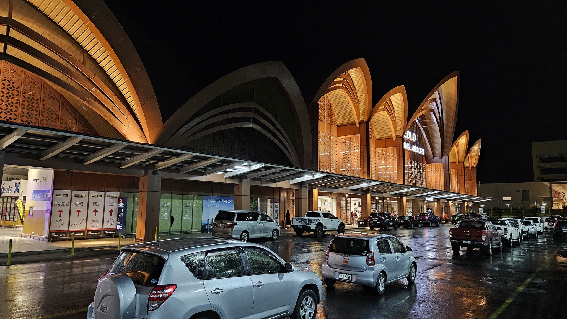
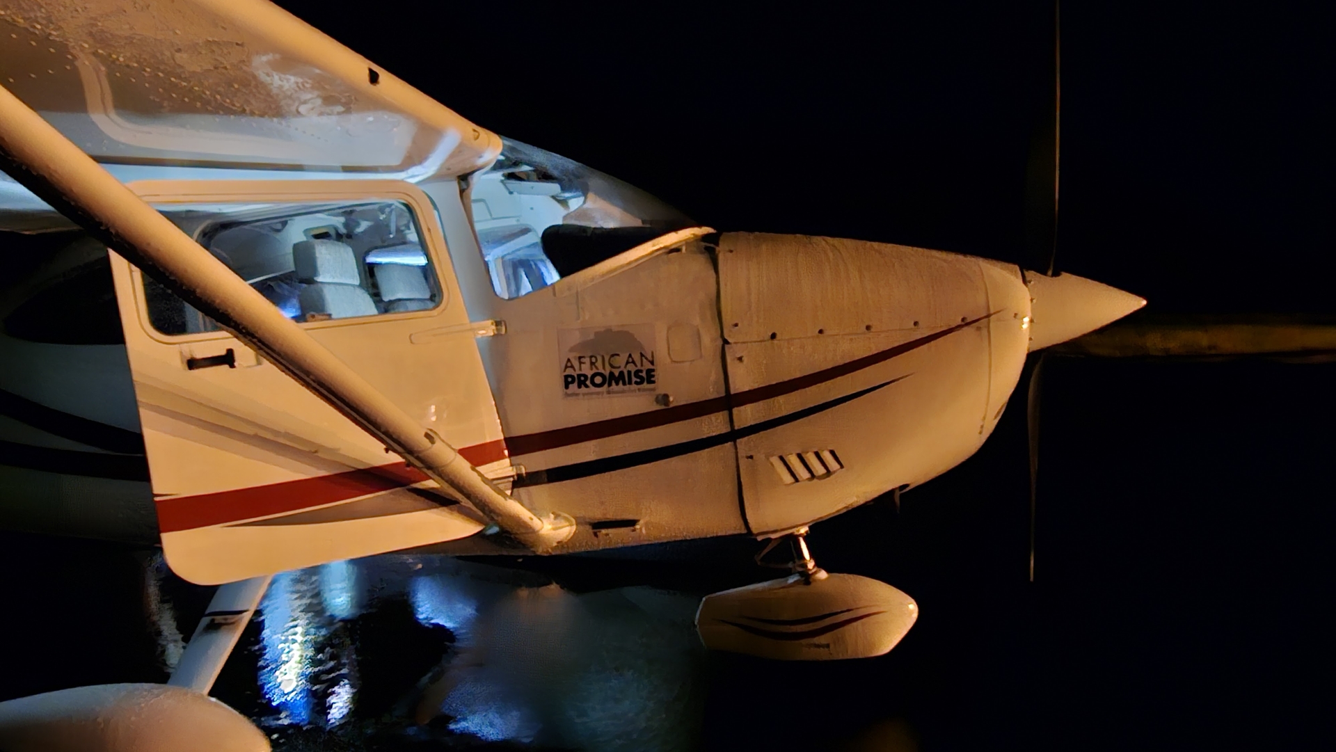
Sabu took us through immigration, which was already open for a departing Fiji Airways flight, and then we headed to customs. Things here were rather less active and we had to hammer on the door of the arrivals section for a while before a customs officer appeared and took care of the paperwork. Sabu then drove us out to a very wet Planey and I preflighted as Sabu helped out by holding a torch. I called for clearance before starting the engine and, unfortunately, found that the flight plan had not been received. Further inquiries revealed that the computer which receives the plans was in a locked office, and the man with the key had not arrived yet! After a few phone calls and an email to a different address the flight plan was filed and we were given our clearance.
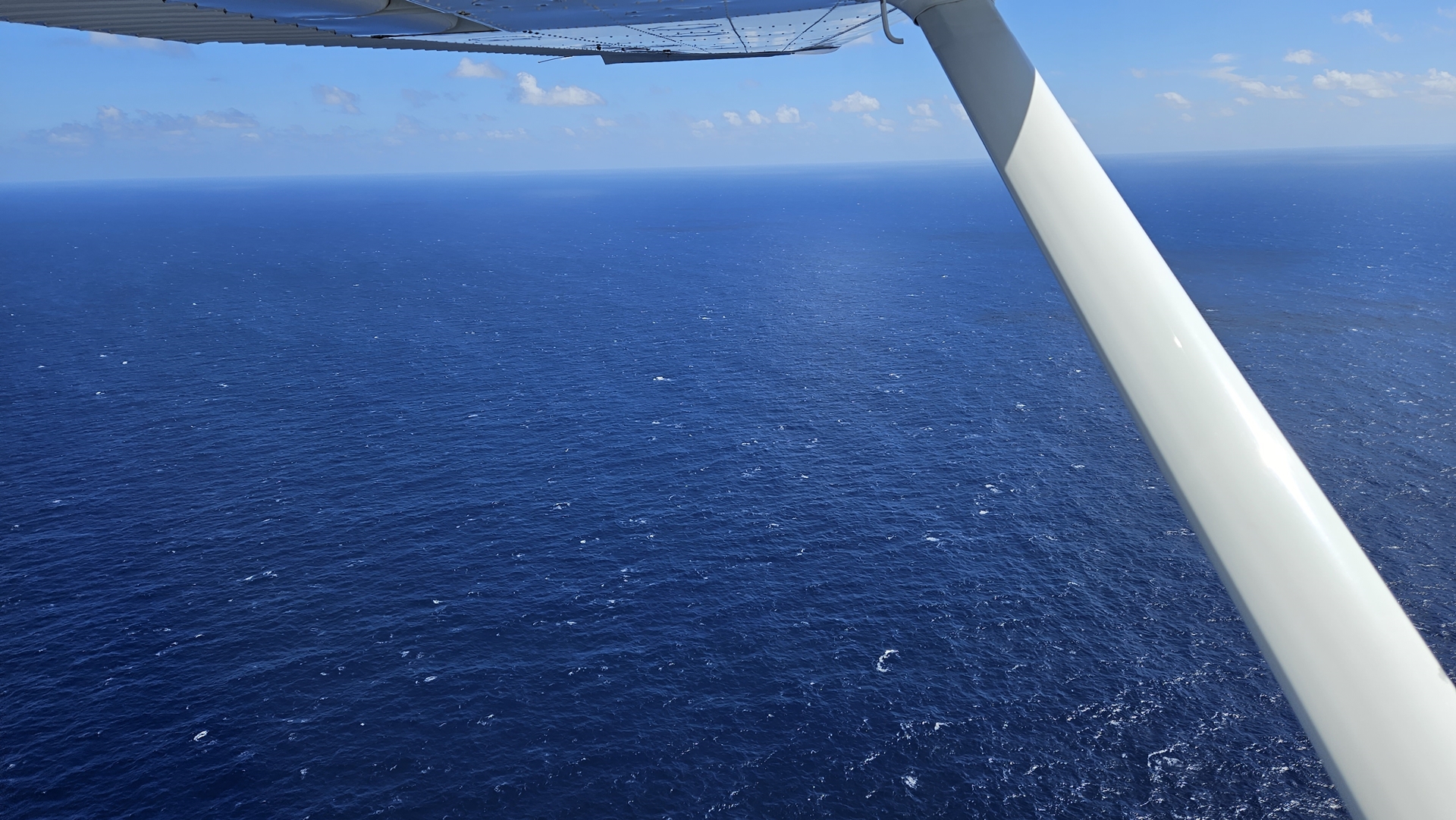
The Fiji Airways jet zoomed past in front of us as we sat at the hold short line, departing on runway 26. The wind was calm and we were instructed to line up the reciprocal, runway 08. After a moment’s delay while the final flight plan processing went through we were cleared to depart straight ahead, climbing to 1,000ft before turning on course to the northwest. I pushed in the throttle and we lumbered off down the runway to begin our 1,521 mile flight to Kiritimati Island. The “easy” flights were done – we were on to the long ones now.


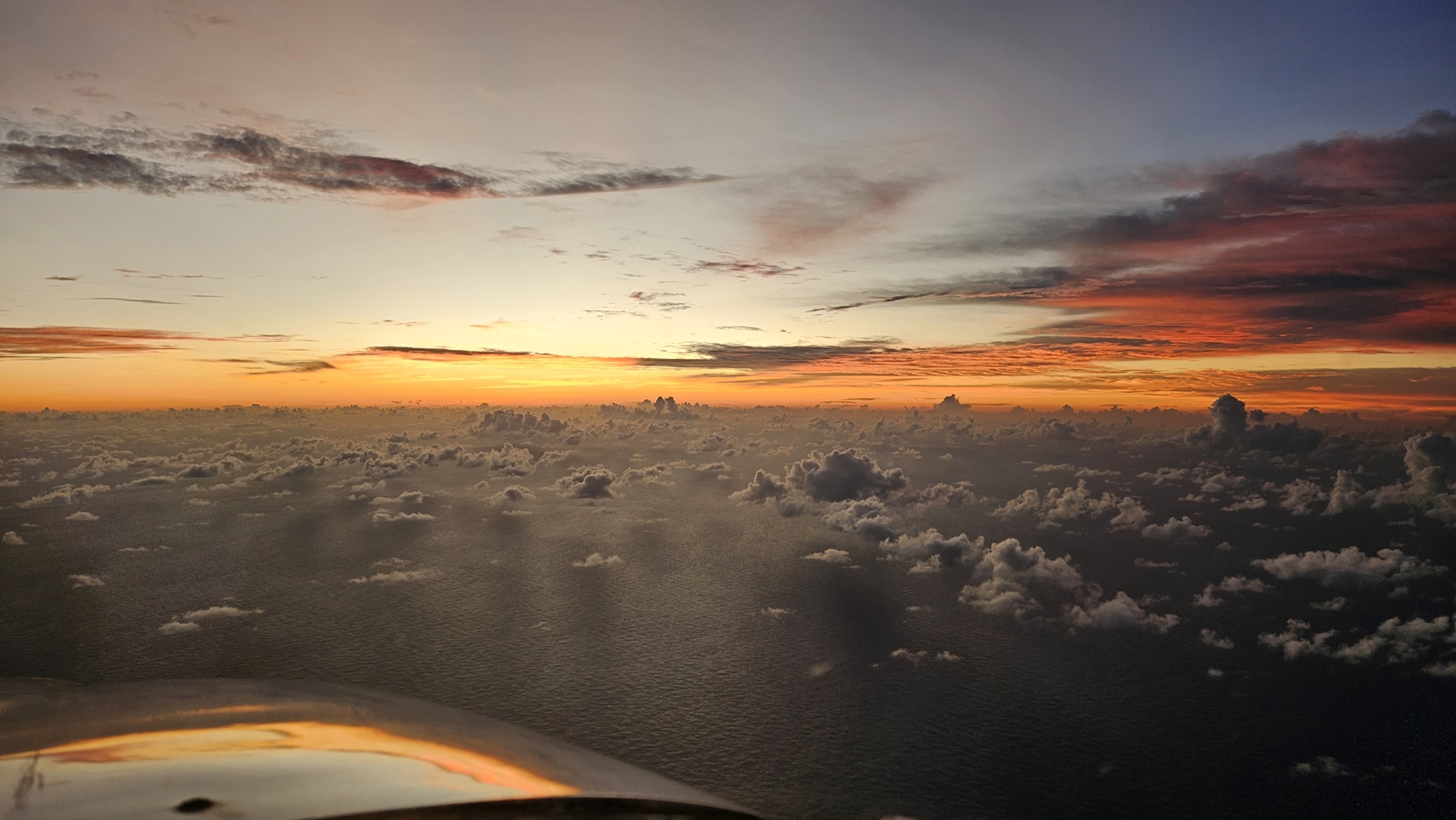
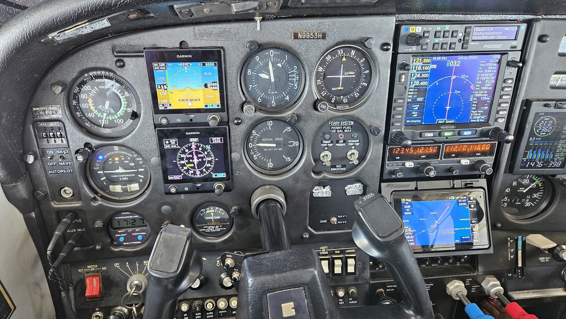
With the blessing of air traffic control I turned left early; we were climbing slowly, and hills loomed ahead on runway heading. We wallowed our way up to 7,000ft and leveled off there, passing in and out of the cloud tops. Faleolo approach switched us over to the HF radio pretty early, and contact with them was excellent in our radio check. By the time we reached our first waypoint however we couldn’t raise them at all. There were no pre-defined intersections or waypoints along our route, so we had filed the flight plan by defining our own waypoints using latitudes and longitudes.

As we settled into the cruise there was a 15kt headwind; this grew to almost 30kt over the next few hours. We used the Garmin InReach to communicate with my pilot friend Joachim who checked the latest weather reports and responded that there weren’t really any better altitudes. We resolved just to put up with the slow speeds; there weren’t a lot of other options! At our waypoint passing 8 degrees south we managed to make contact with Faleolo over the HF to report our progress, and they passed us over to San Francisco Radio. We were unable to manage any contact with them so cruised along our way, trying to raise them every now and then, eventually managing to talk to them and report that all was normal. It was amazing to me that we were in radio contact with San Francisco, even if it was probably via a closer base station, from our little cockpit over the South Pacific.

Thirty minutes later we heard from Joachim again; wind speeds looked better down at 2,000ft. I was dubious that this would help us, given the poorer efficiency we’d get from flying in the thicker air down there, but we decided to try it out anyway. As suspected, it was no good; the headwind was 10kts lower, but our true airspeed was also 10kts lower and we were burning more fuel. We did see a boat, at least, before climbing back up to 8,000ft.
Monitoring the HF we overheard San Francisco Radio talking with a coastguard aircraft in the vicinity of Tahiti. The aircraft reported that they had located a shipwreck survivor in the water and were commencing a rescue. This was reassuring – even if we went down out here, rescue was not impossible!
Radio contact with San Francisco became a bit more reliable as we went on, although HF quality seems to be more affected by atmospheric conditions than it is by distance. As we drew closer to Kiritimati, San Francisco called us up to relay a message. Apparently Kiritimati were asking if we’d need fuel. I responded and made it quite clear that fuel had been pre-paid months ago and that we’d been contacting them repeatedly over the past few weeks to try and get some confirmation that they were ready. We could hear San Francisco relaying this message to Kiritimati by HF, although couldn’t hear the replies.
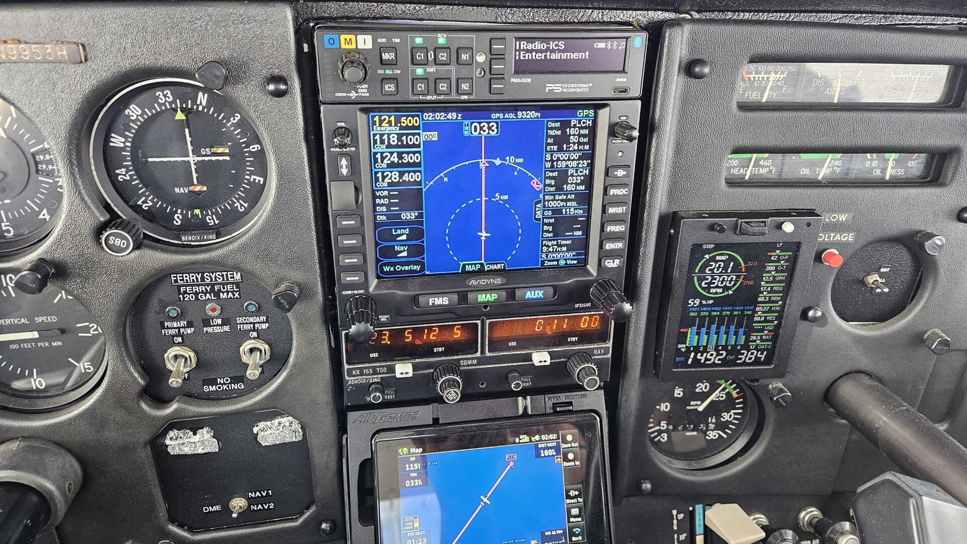
Just south of Kiritimati we passed another major milestone; the equator. Juvy had been with me nearly four years earlier when we passed it the other way over Indonesia, and it was nice to celebrate together once again. Soon afterwards we established VHF contact with Kiritimati and reported as much to San Francisco. They cleared us to descend at our own discretion down to 5,500ft, with a subsequent cruise clearance from 5,500ft. This basically means that you can descend as you wish, but can’t climb back up.
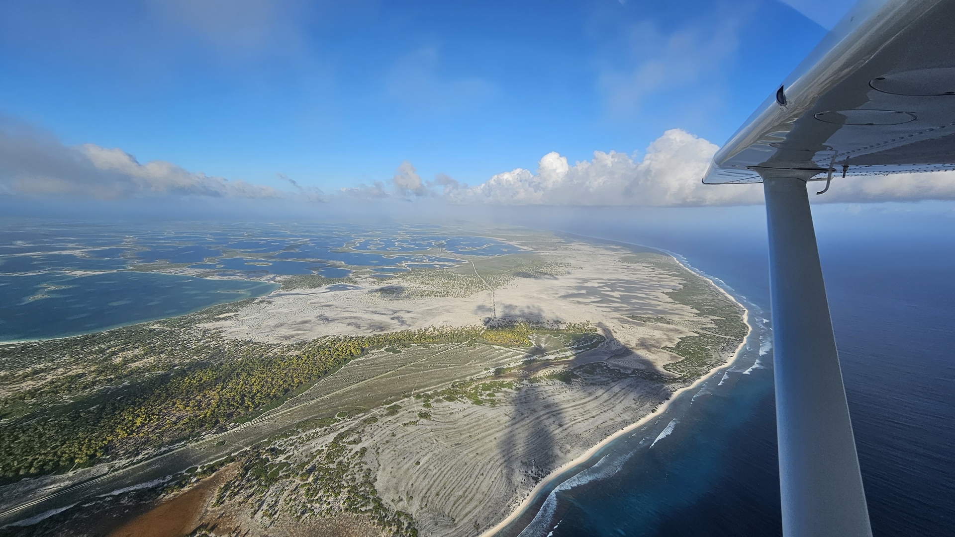
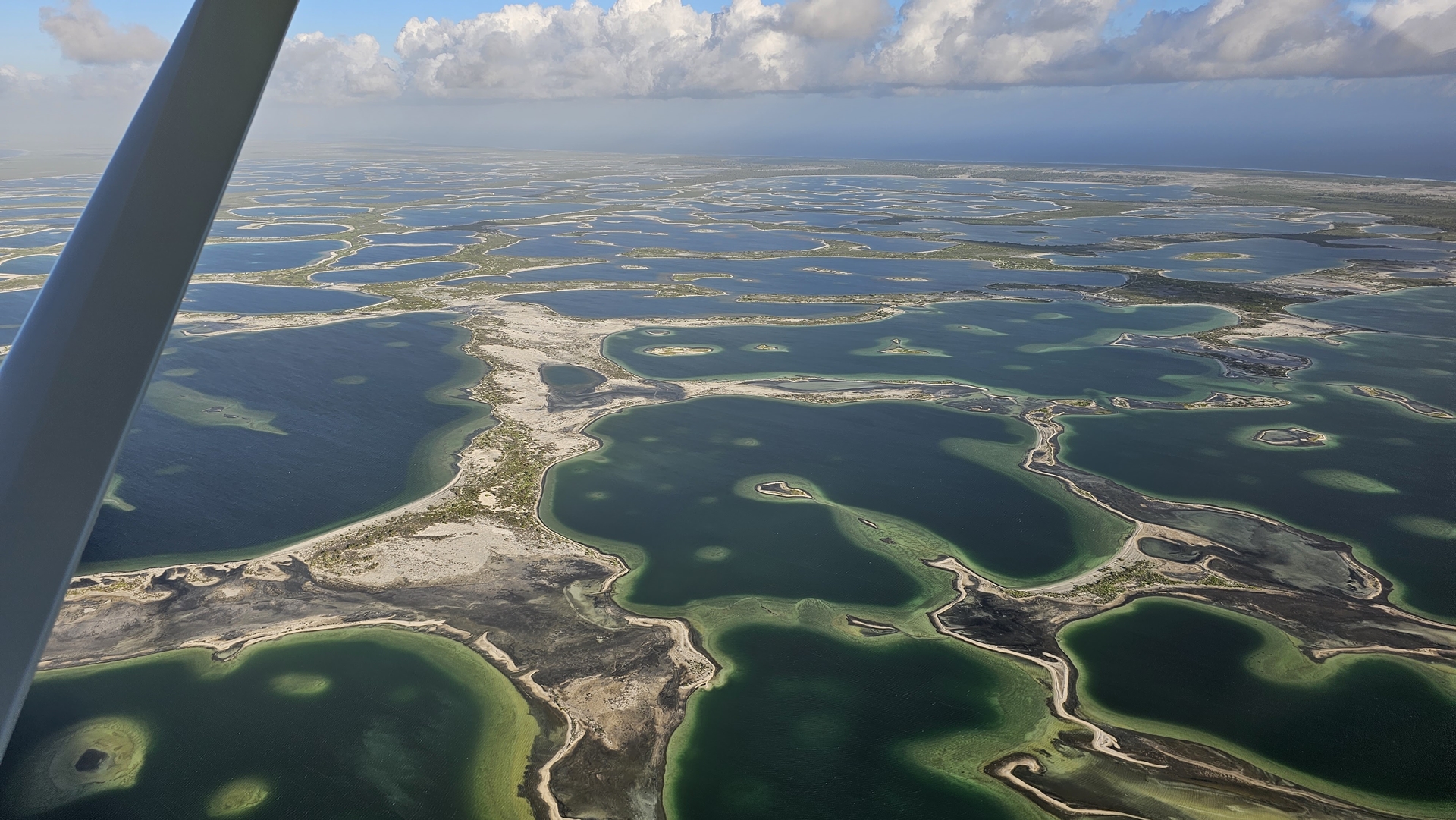
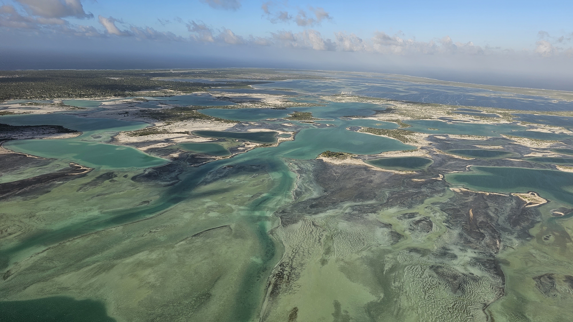
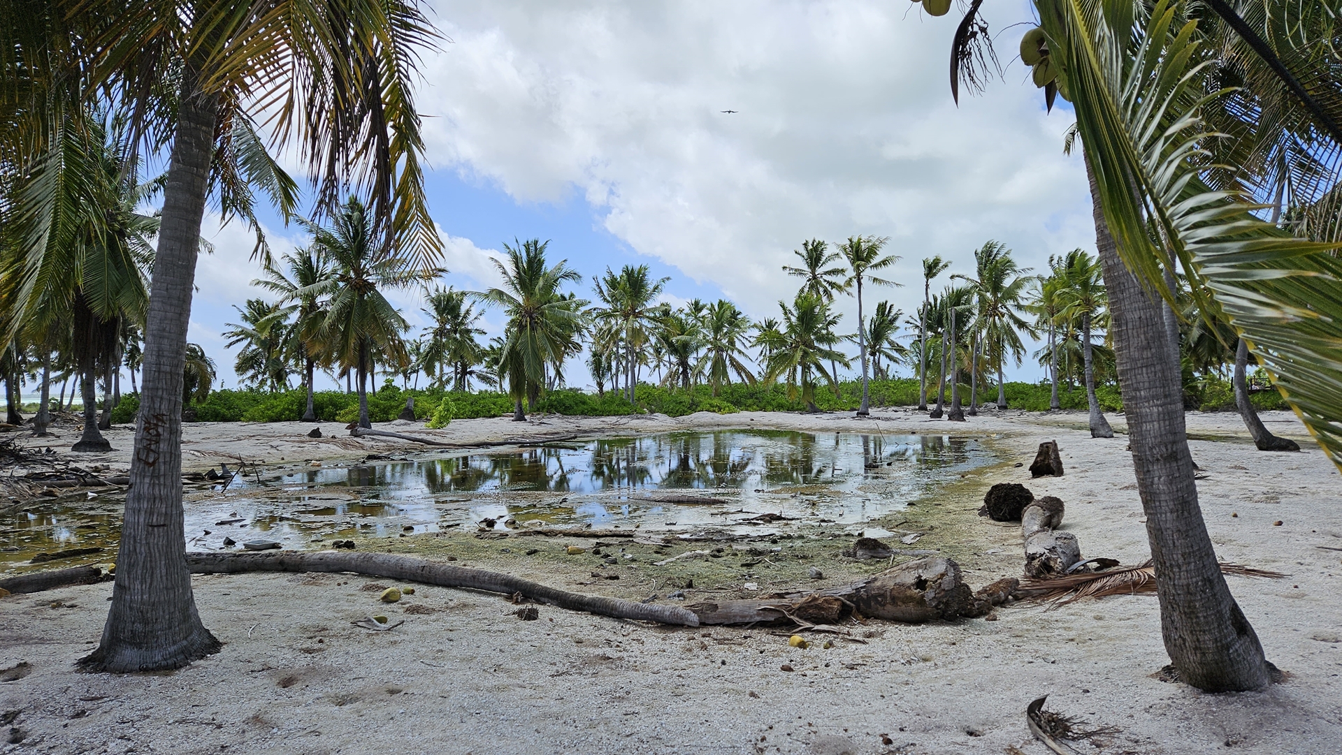
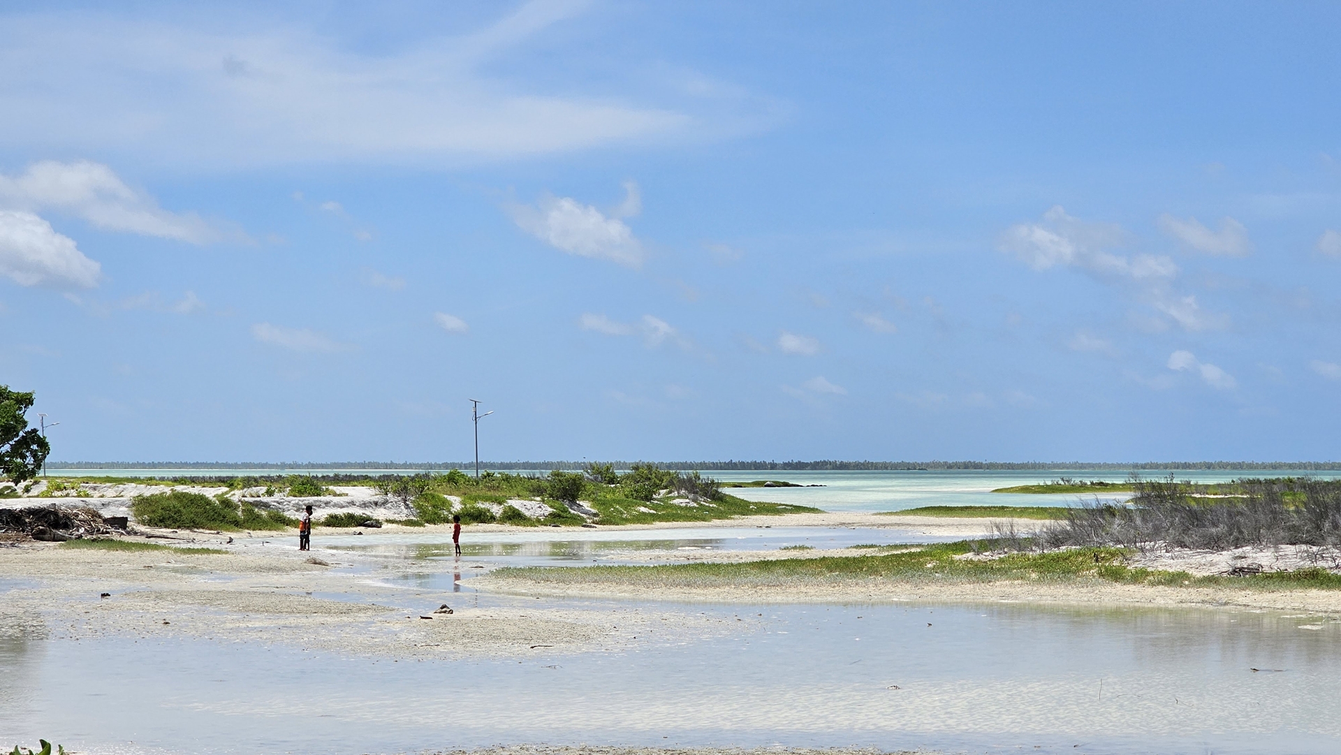
The island came into view under the cloud as we descended. The terrain was quite unusual; the island is very low lying and mostly made up of coral rises and shallow lagoons tied together by palms and other vegetation. Part of the island nation of Kiribati, Kiritimati is not a place which most of the world would ever hear about; indeed, I don’t think I’d heard of it until I developed an interest in world flights. The island has a population of about 7,500 people and severely limited infrastructure. This had meant that Kiritimati had been by far the last place to open its borders in the wake of the COVID pandemic.


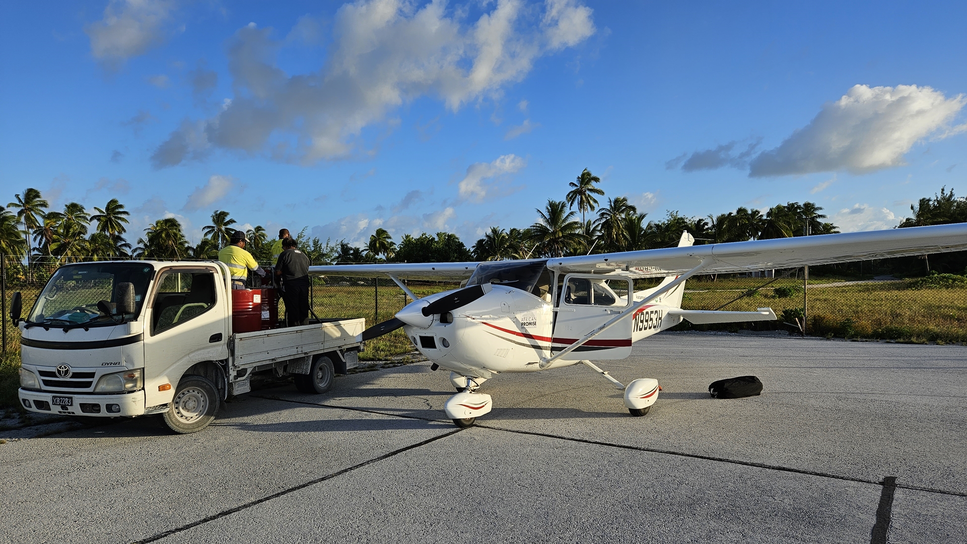
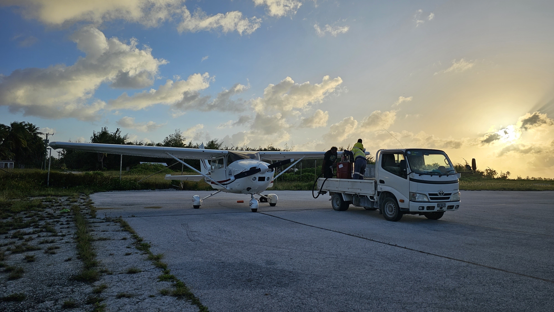
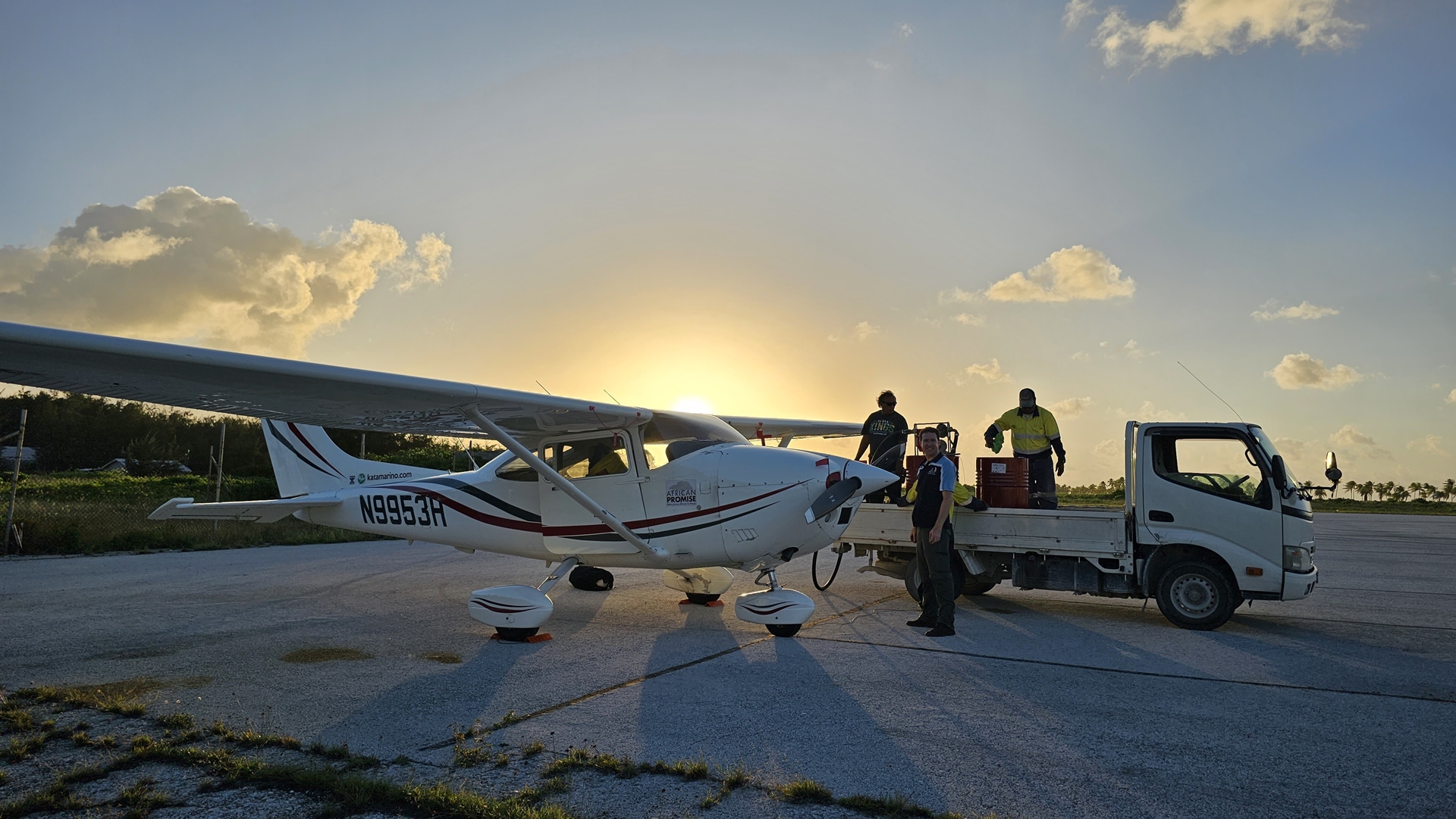
The control tower cleared us to land straight in, and to taxi in to the terminal apron. We parked up in the corner and shut down, having closed our flight plan with San Francisco over the HF on the ground. There was only one man around, from customs; still no word from K-Oil, the fuelers, or from the lodge about collecting us. However, within the next few minutes everybody turned up! Immigration arrived to check us into the country, the hotel owner showed up to give us a ride back, and two men from K-Oil even arrived in a truck with two barrels of avgas in the back. It’s rare, but sometimes things just work out better than expected.

Refueling was efficient, if not quick, and we filled all four wing tanks before putting the remainder into the ferry tank in the cabin. The pump leaked quite badly but the fuelers had a clean stainless steel bucket which they used to catch the leaking fuel, allowing us to put it into the tanks instead of wasting it. My filter funnel came in handy here both for making this process easier, and for giving us an extra level of confidence that the fuel was uncontaminated.

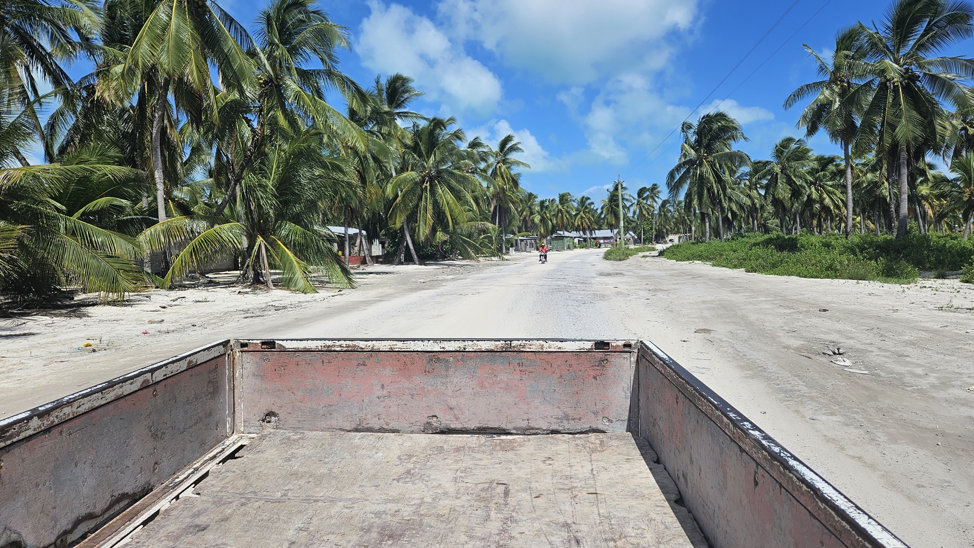
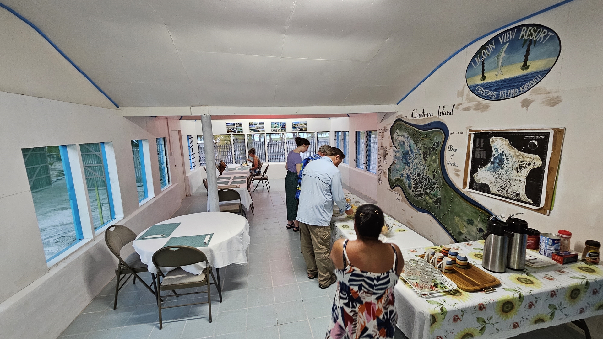
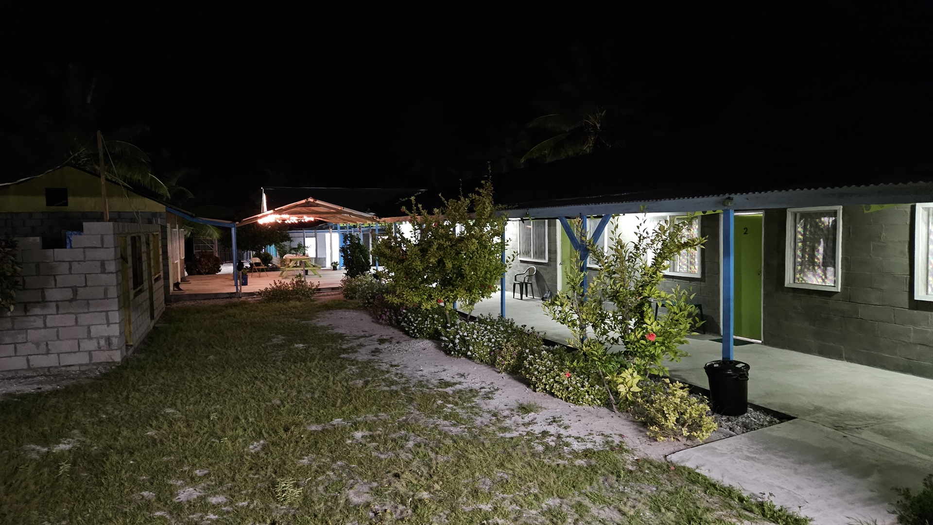
The sun was setting as we rode in the back of the “Lagoon View” fishing lodge’s Toyota and headed for the lodge. Dinner was being served as we arrived; tuna, rice and vegetables. We met the other guests; four American fishermen who had booked their trip before COVID and been waiting ever since, an American yachtsman who’d flown in to see if it was a good destination to sail to (and had decided “no”), and three American Christian missionaries.

The food, like the rooms, was simple but satisfactory. We turned in early, ready for a couple of days of rest before striking out north once again. The only downside was a lack of hot water but given the regular water shortages on the island, we were happy to be able to shower at all!
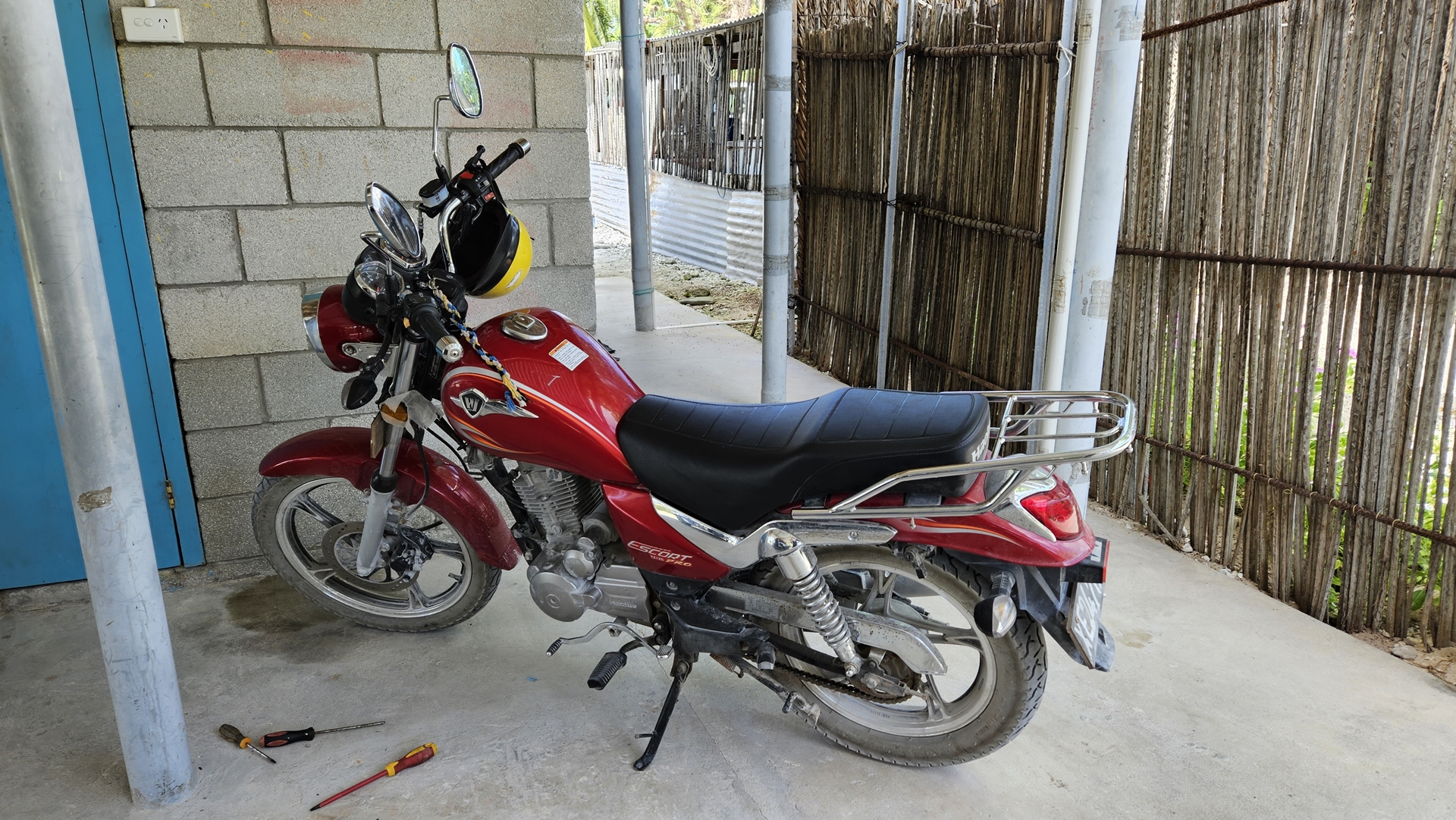
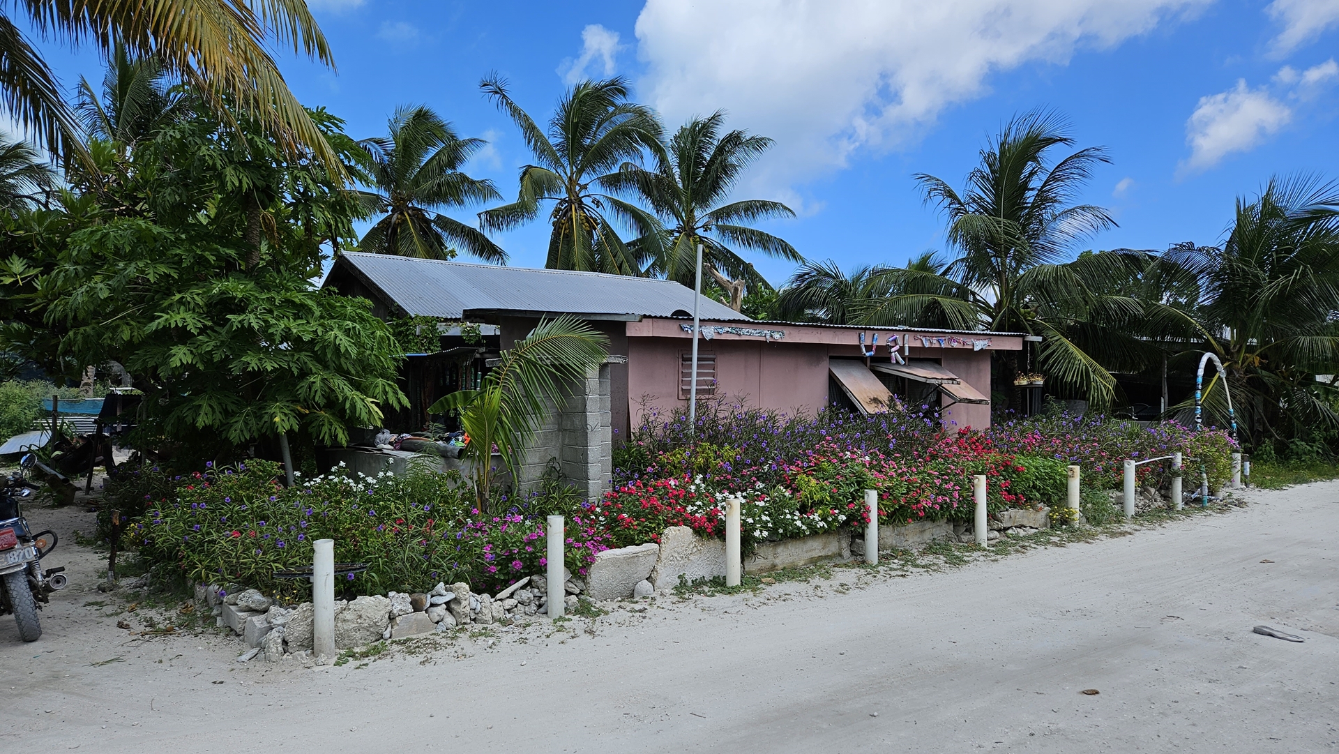
I slept late the next morning. At about 11am we decided to set off on the hour’s walk into the nearest town. The daughter of the lodge’s owner had offered a loan of a motorbike but having never ridden one I decided now was probably not the time to try and learn. So off we walked, a couple of idiot tourists in the mid-day sun.


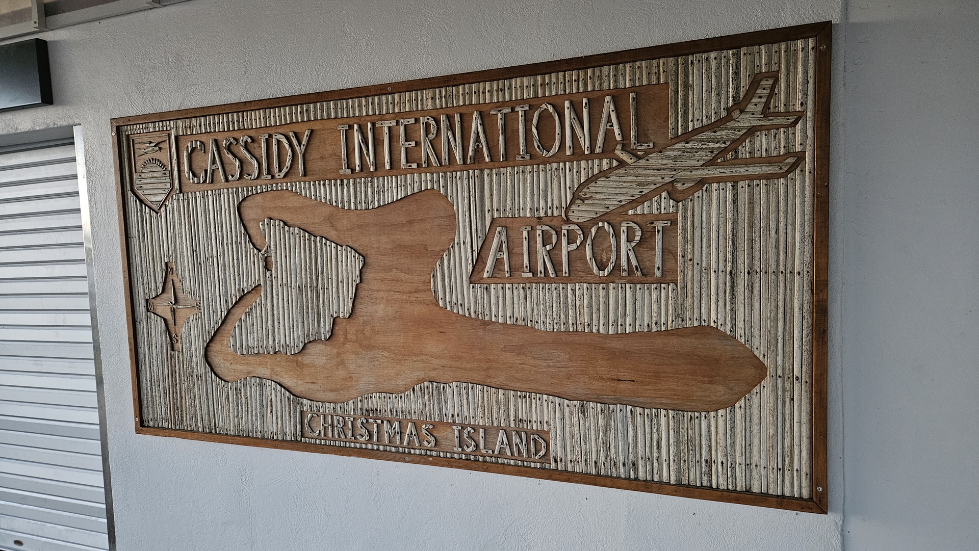
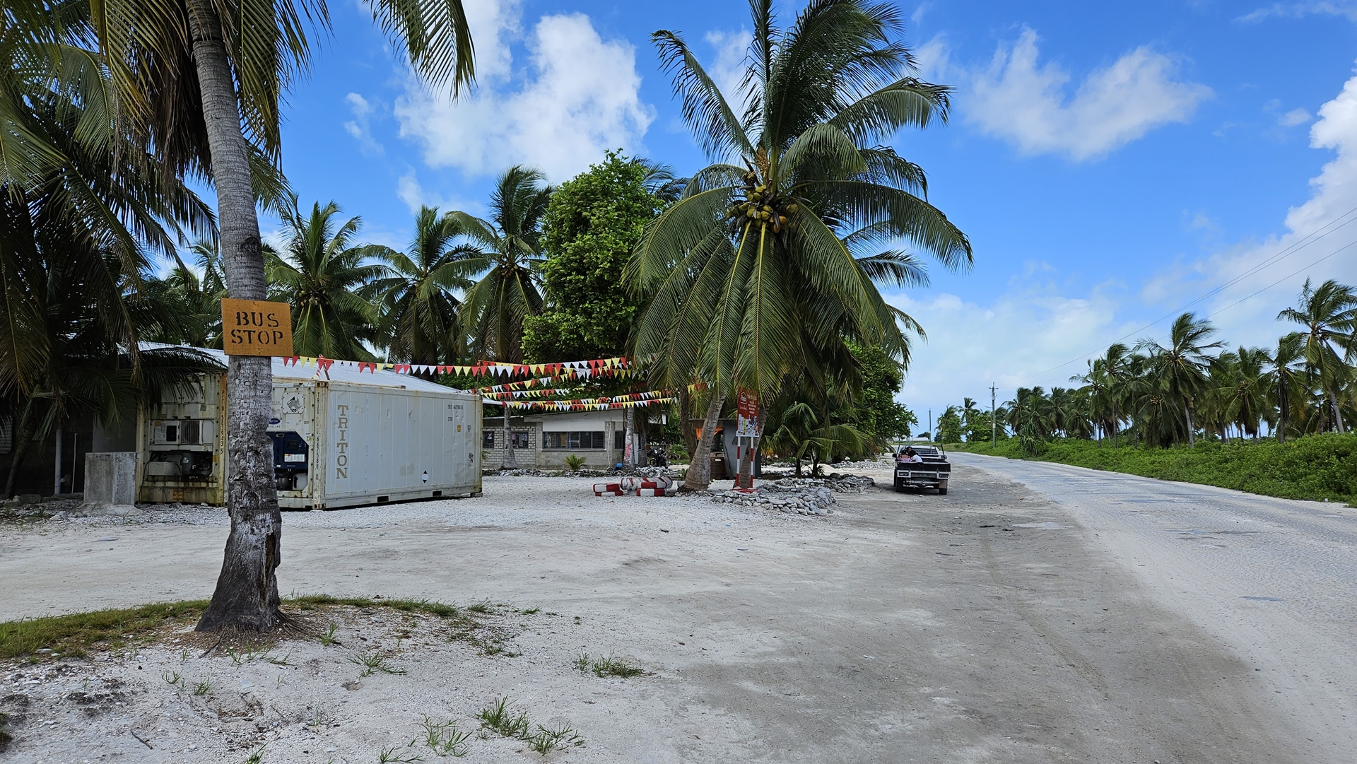
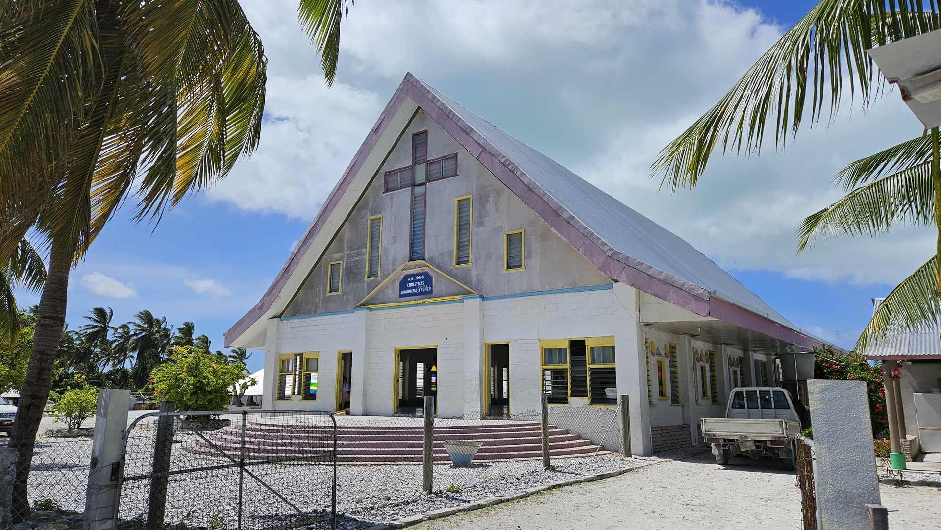
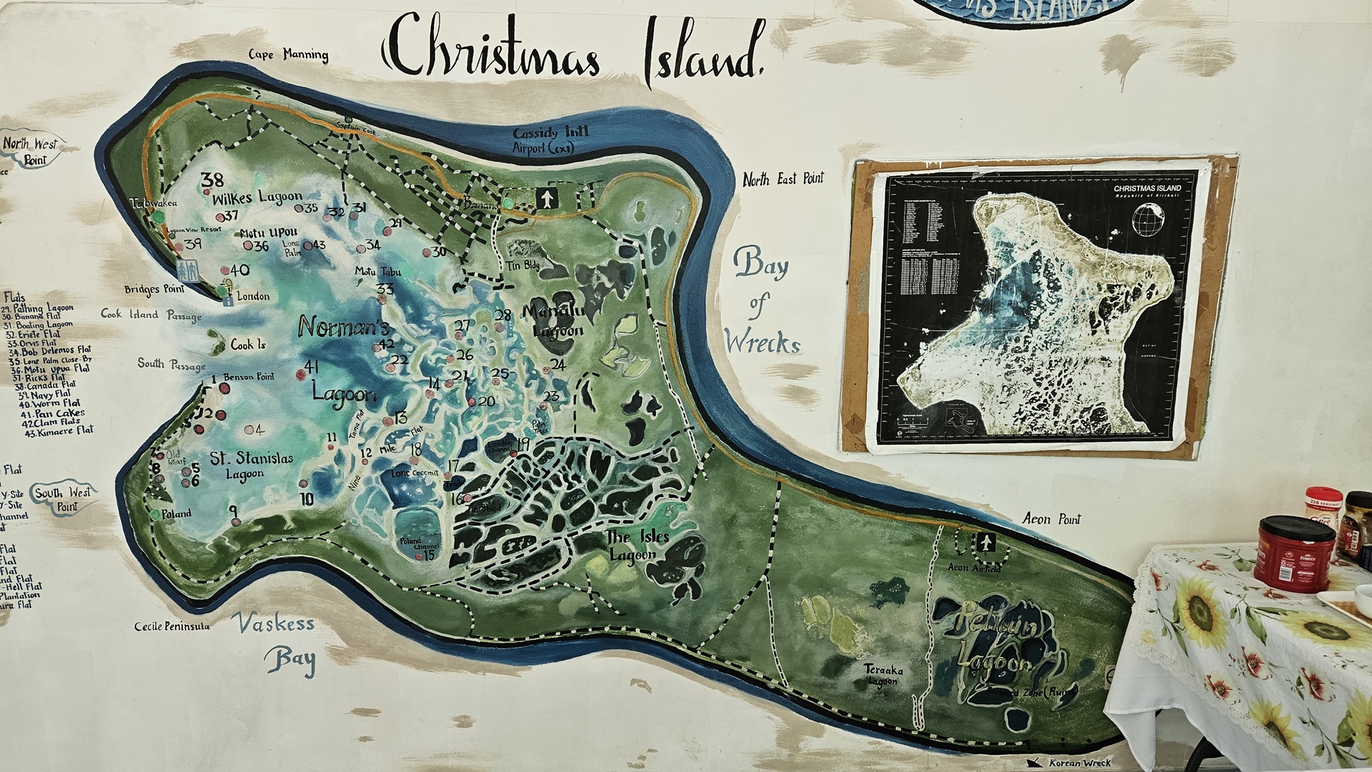
One of the things I like about Kiritmati is the naming. The name of the island itself, in spite of being spelled in the local manner, is derived from the English name Christmas Island (Kiritimati is pronounced “Kiritimass”) When you look at the island on Google Maps the main towns are shown as Tabwakea, London, Paris (now abandoned), Poland, and Banana (Banana is where the airport is). It was London that we were making our way towards.

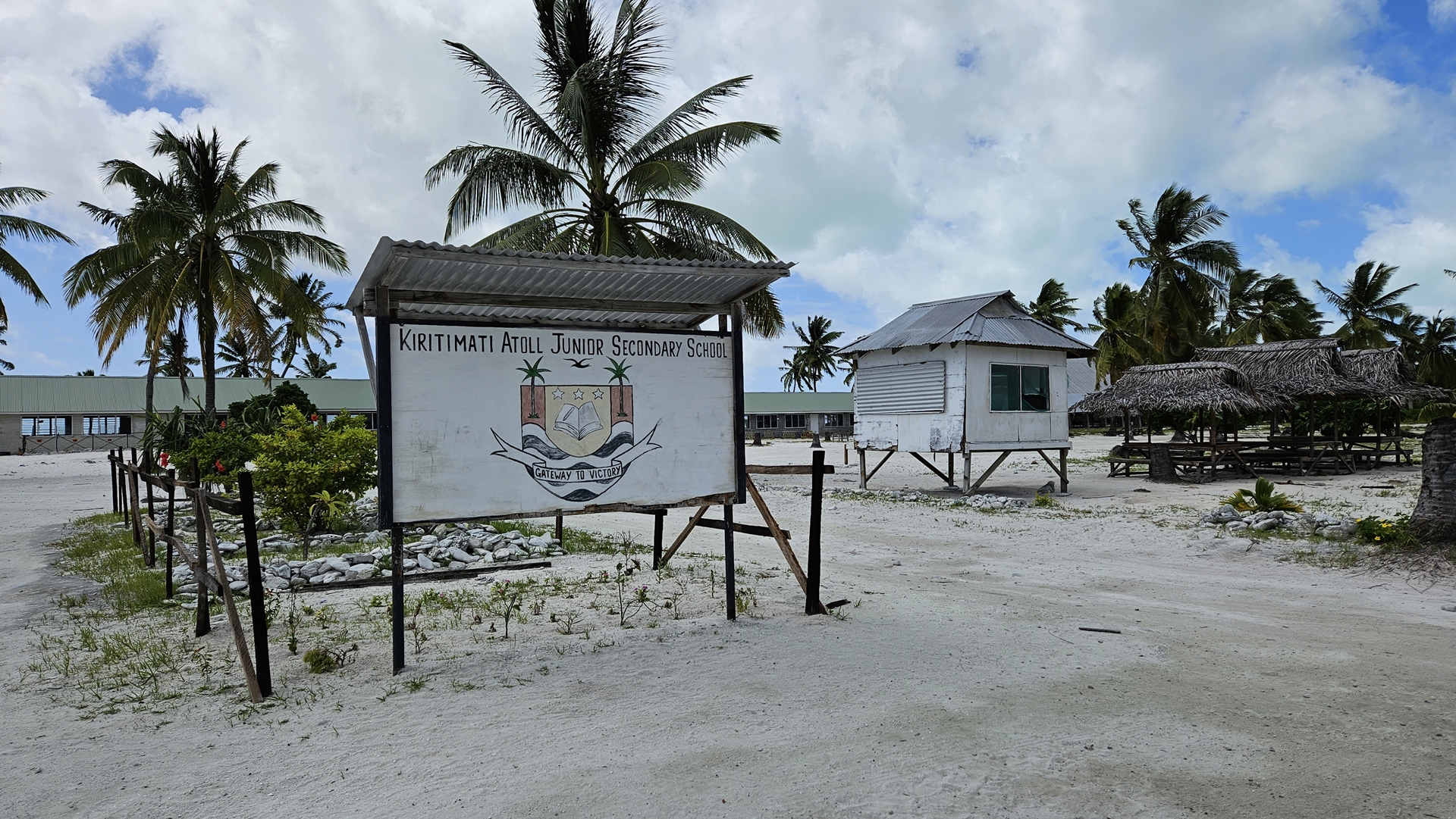


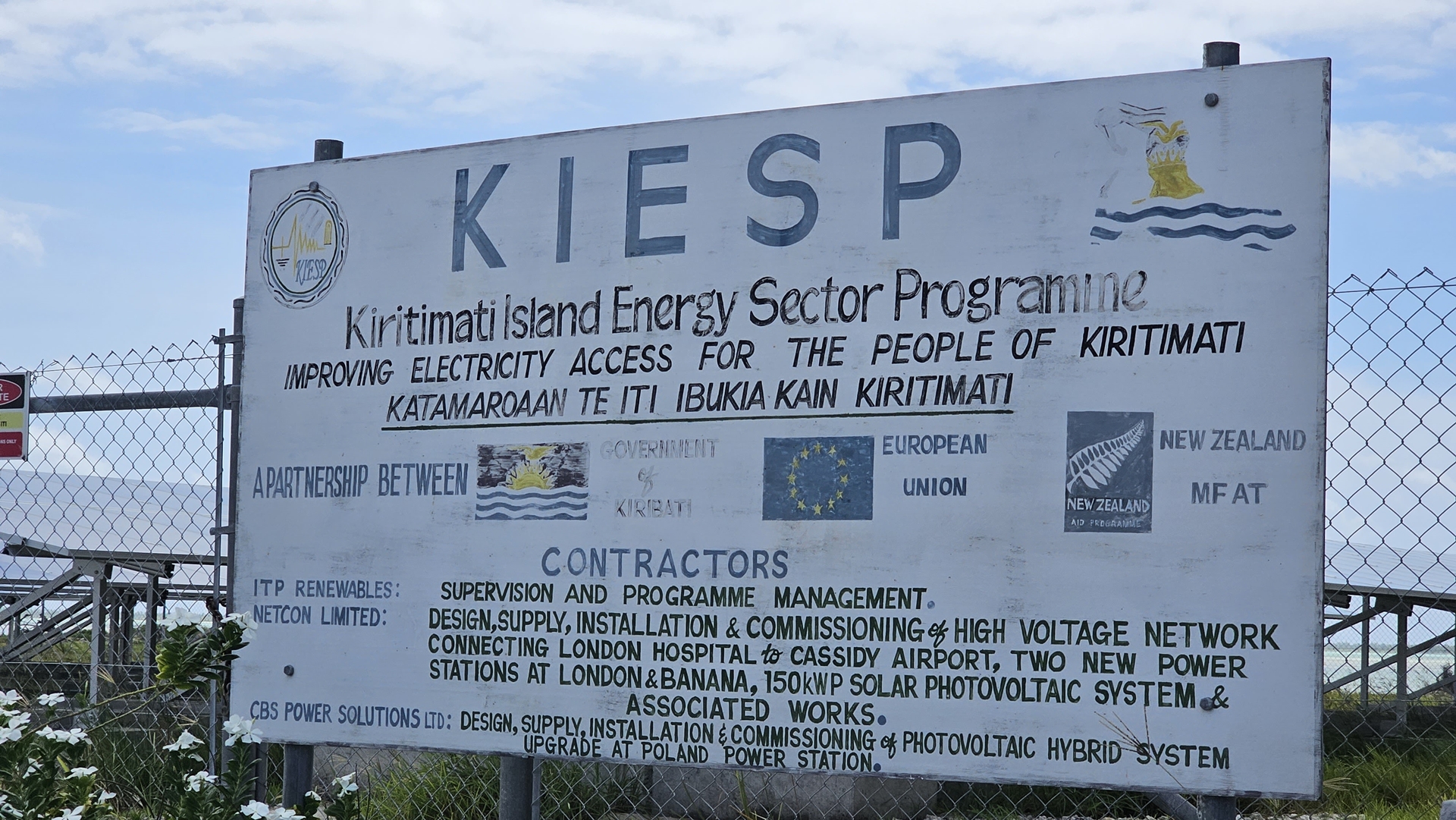
As we walked we passed a number of foreign-supported development projects; schools and infrastructure primarily. Australia and New Zealand were well represented, as was Japan who maintain a space mission tracking station on the north side of the atoll. Kiritimati is the largest atoll in the world (an atoll is a ring shaped island encircling a lagoon) and makes up over 70% of the total land area of the Kiribati nation, which is composed of 33 islands in total. Kiritimati is really not very big, underscoring how small the rest of the nation’s islands, including the capital island, must be!
Kiritimati was initially inhabited intermittently by Polynesian people although the archaeological record suggests it was never permanently settled, before being claimed by the United States in the 1850s. They didn’t do much of anything with it until the 1880s when external settlement began, supporting coconut plantations and fishing. By the 1900s the British were in control, and in 1902 granted a 99 year lease to Levers Pacific Plantations who planted 72,863 coconut palms on the island and introduced oysters into the lagoon. Extreme drought quickly killed 75% of the palms, and the island was abandoned again by 1905.


Most if the atoll’s interesting names were given by Father Emmanuel Rougier, a French priest who leased the island from 1917 and ultimately planted over 500,000 coconut palms. He lived, of course, in Paris, just south of London at the mouth of the lagoon. He named the settlement of Poland in honour of his Polish plantation manager, who lived there.
Kiritimati was occupied by the Allies in World War II with the U.S. in control of the island garrison. The atoll was important to hold, since Japanese occupation would allow interdiction of the Hawaii-to-Australia supply route. For the first few months there were next to no recreational facilities on the island, and the men amused themselves by shooting sharks in the lagoon. The island’s first airstrip was constructed at this time to supply the Air Force weather station and communications center. The airstrip also provided rest and refueling facilities for planes travelling between Hawaii and the South Pacific. The 1947 census listed only 47 inhabitants on the island.
In the 1950s and 1960s the UK and USA used the island for nuclear testing. Islanders were usually not evacuated during the nuclear weapons testing, and data on the environmental and public health impact of these tests remains contested.
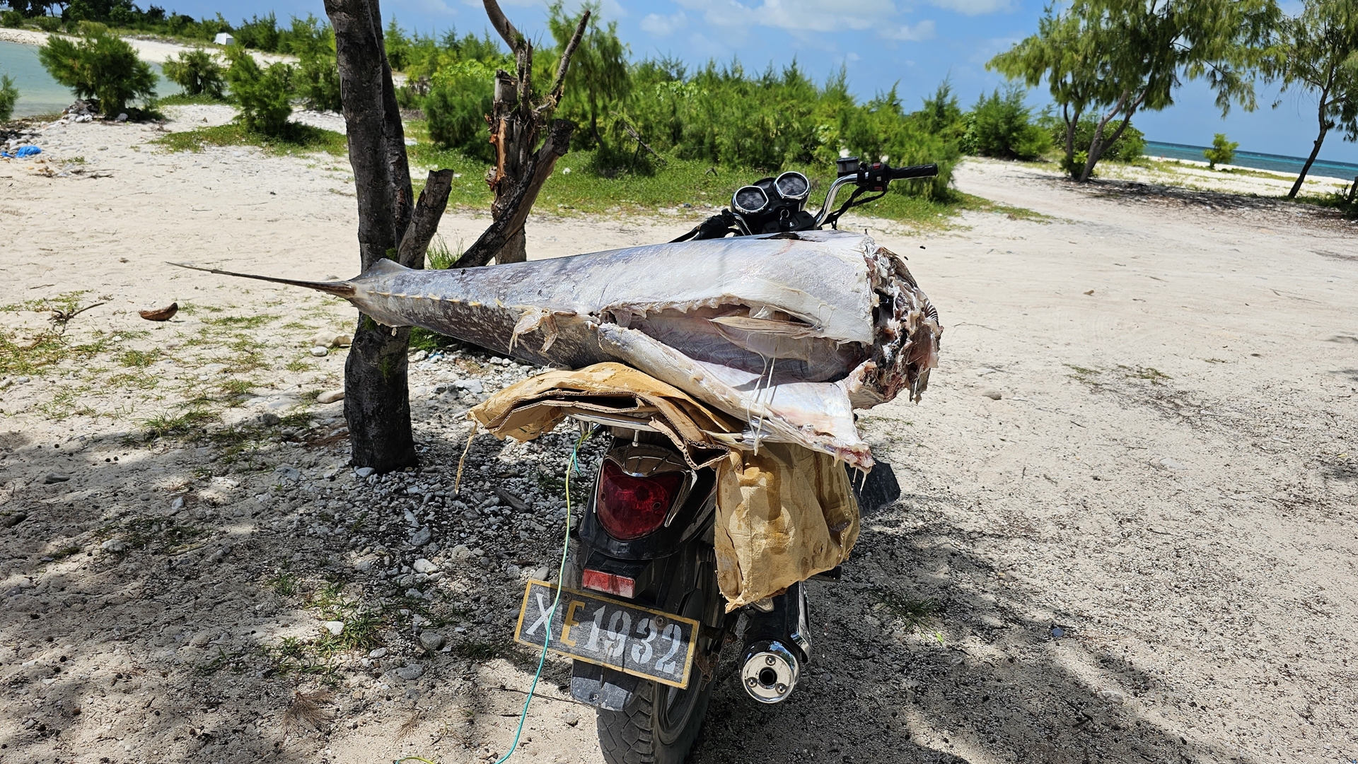

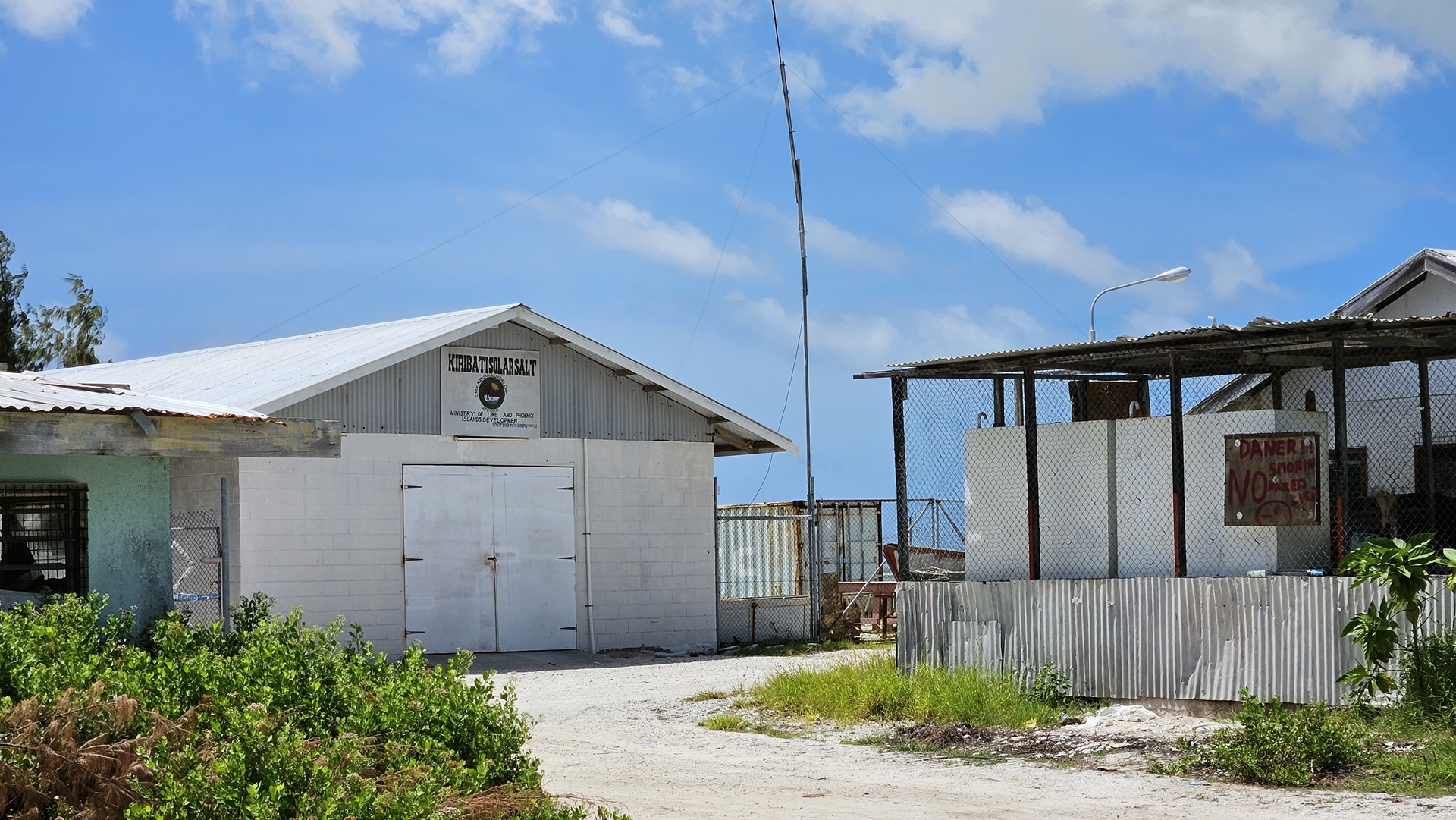

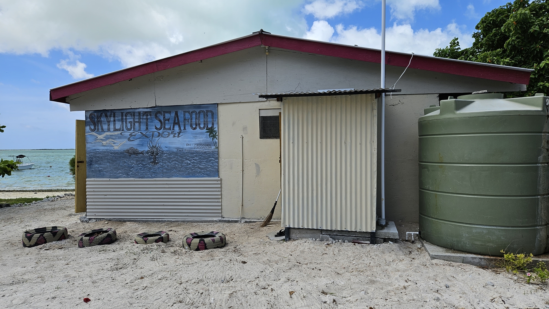

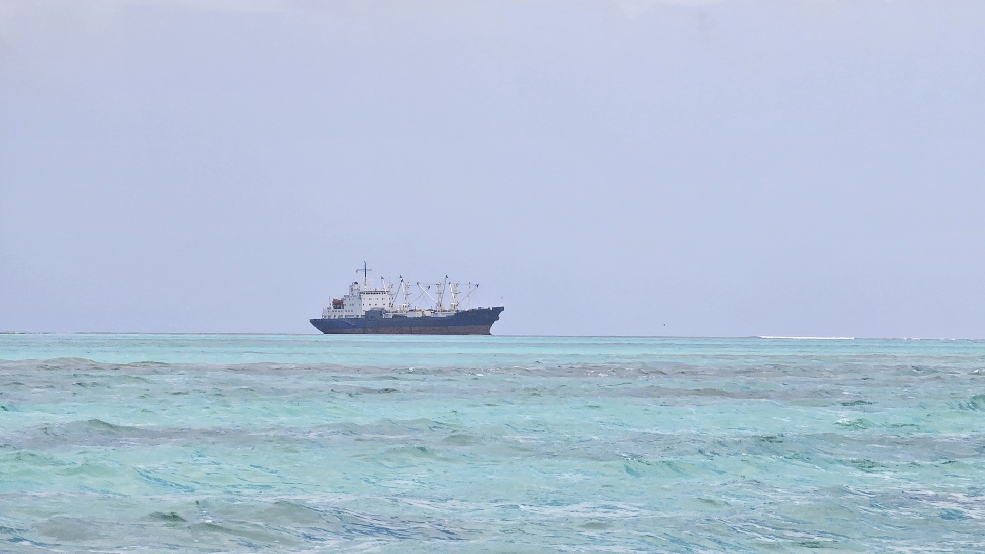
We wandered through London and came to the mouth of the lagoon. Numerous large ships were visible moored off the end of the atoll. These were motherships for the fishing fleets that ply these waters; smaller vessels head out fishing and then return to the motherships for unloading and resupply. A smaller fishing operation was underway at the little jetty we came to; two gentlemen were strapping a large headless tuna to the back of a motorbike. We chatted to them, and learned that one of them had lost a fight with a fish the day before and was on shore rest for now, hence helping his friend out with the fish transport.
These days the population of Kiritimati has soared to more than 7,000, since it became part of the Kiribati nation. The vast majority of the island’s supplies are imported, through a large modern jetty in London built by the Japanese. Fish make up much of the population’s diet although overfishing has seen fish stocks plummet in recent years. The main exports from Kiritimati are coconut products, aquarium fish, and seaweed.
We returned to the fishing lodge along the same road that we’d come into London on. Not far into the walk a truck pulled up next to us and offered us a ride. We gladly accepted, anything to minimise our remaining time in the blazing sun; Kiritimati is less than 150 miles north of the equator. We clambered into the back of the truck and were soon dropped off at the lodge.

At dinner that evening we were all asked to sign the guest book, and enjoyed leafing through it to learn a bit about previous visitors. I was most intrigued by the mysterious and rugged-sounding “DEAN DAGGER” from Hawaii, who had signed his name in all-capital letters but otherwise left no clues. Why were you here, Dean? What did you see?
That night I spent a couple of hours battling the glacially slow internet to file my “EAPIS” notice of arrival into the United States for the upcoming flight to Hawaii. Connections were so slow that I had Joachim look up the EAPIS FAQs section for me, and see if they had an answer for what to do if you were departing towards the US from somewhere with no internet access. They did; US Customs and Border Protection’s answer for this situation was “Fly somewhere else first, that does have internet access, and then fly to the USA from there”. A classic example of a lazy and incompetent bureaucracy not bothering to consider the cases in which their system isn’t fit for purpose.
First thing in the morning I borrowed Juvy’s phone, the only one working here, and called Customs and Border Protection in Hawaii to confirm our arrival for the following day. They acknowledged and said they’d be waiting (spoiler alert – they weren’t). Next I called flight service in the US and filed our flight plan; the briefer said it was their first time entering a plan out of Kiritimati!
After exploring on land the previous day, today we were heading out on a boat trip led by the fishing guide, Matt, who had been organising the activities for our four American friends at the lodge. He had sent them with other guides for the day and arranged a small boat and captain to take us around the lagoons. He turned up after breakfast and collected us, driving us down to the small marina area where we’d seen the arrival of the tuna the previous day. As we pulled up our captain arrived, and he and Matt went off to the petrol station to get some fuel.
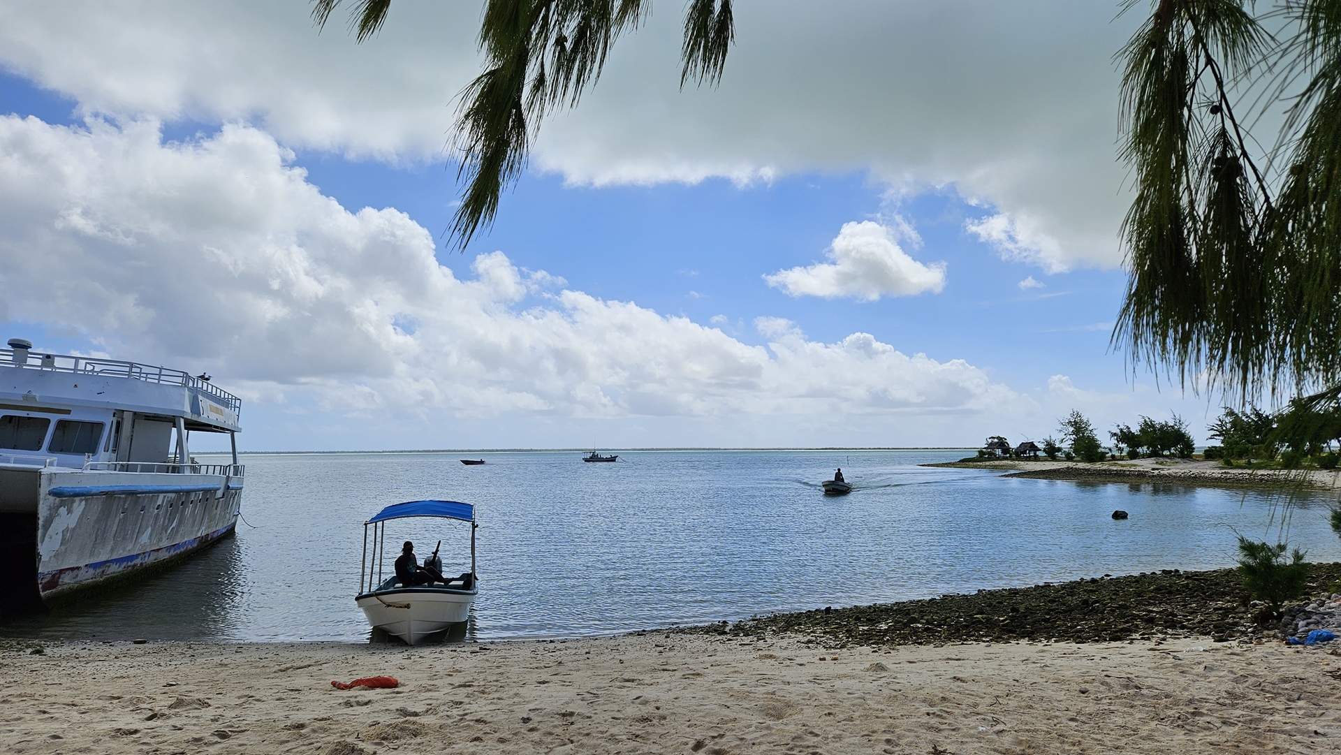
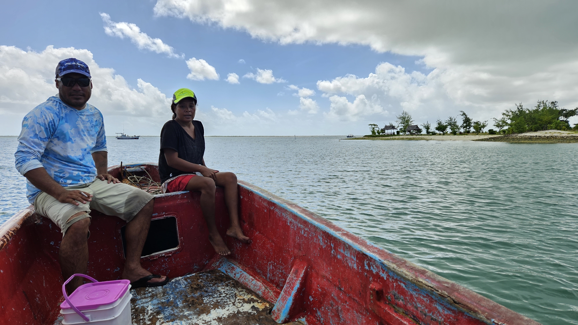
With the boat fueled up we set out across the lagoon. Matt stood up front on the bow keeping a sharp eye on the waters and directing the captain through the shallows. “It’s like a road” he said, “you have to know the way or you get lost”. Perhaps not the best example on an island that effectively only has one road, but he got his point across. Matt’s wife was with us, on her first boat outing with him; she’d never had the chance to come out with him before and was excited to see new parts of the island. We cruised all the way to the eastern extent of the waters to a location known as “Y site” – all the flats and pools have names to help the fishermen talk about their plans and exploits.


The entirety of Kiritimati is designated as a wildlife sanctuary, and is primarily populated by birds. 35 species have been recorded here, the vast majority being seabirds although three species of land birds are also present. Kiritimati is the most important breeding ground in the world for several species of seabird and many areas of the island are off-limits to avoid disturbing the bird population. Our first stop was to see a selection of these nesting seabirds.
A variety of land animals are also present on Kiritimati, most of them imported. Rats were already present as early as 1777, probably brought by earlier seafarers, and goats were introduced more recently in 2004. About 2,000 feral cats exist on the island, causing great damage to the bird population and planning is underway to control these predators. Feral pigs exist, mostly kept under control by hunting for food, and a few species of lizards appear to have made their own way to the island. Matt informed us that dogs are strictly controlled, with only male dogs being permitted on the island to avoid breeding. Rounding out the animal population is a large and ubiquitous number of crabs.


Matt directed the boat back to the west across the lagoons, to the abandoned settlement of Paris. As we approached the beach we encountered a man snorkeling just off the beach, gathering sea worms. Our captain beached the vessel on the brilliant white sand and we wandered around a little on the shore before boarding again and heading back to London. Matt drove us back to the lodge, and his wife admitted that a day out on the lagoon in the sun made her believe him a bit more when he claimed to be tired after a day’s work – she had thought he was just out lazing in the lovely weather!


That evening I received an email from Mary, the airport manager, making sure that we would be paying our airport fees before departure the next morning. Although not as bad as K-Oil, she had ignored many of the messages I had sent to her asking for information. When it came to taking money however she was entirely on top of things, replying almost instantly to my clarifying questions about amounts and methods of payment. They would only accept cash in Australian dollars (the national currency) so we made a late night trip to the island’s only ATM to stock up.
After another great dinner we turned in for an early night. Once again, we’d be up well before dawn to depart Kiritimati.
Click here to read the next part of the story.