Round the World – Australia 3, Part 7
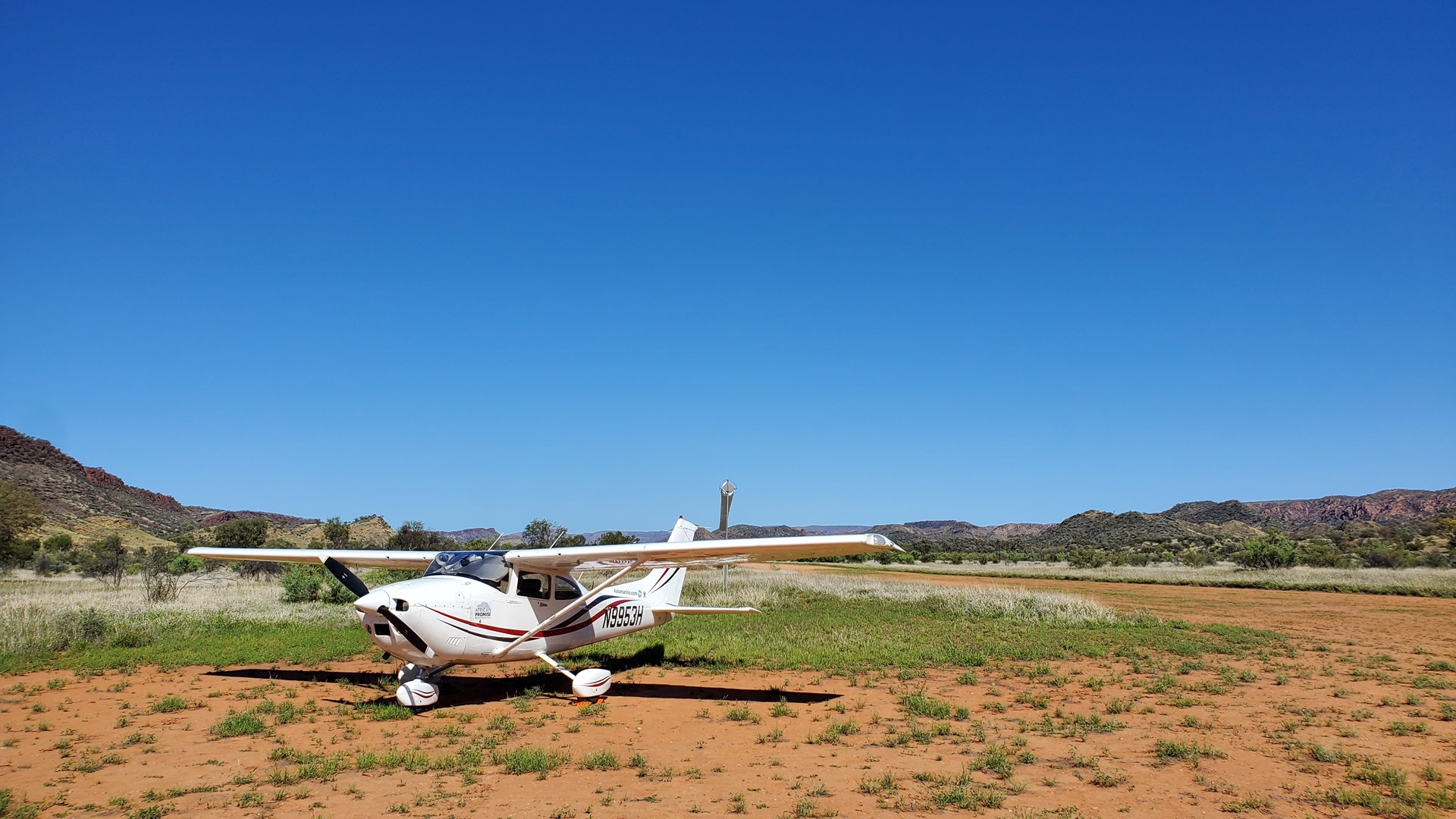
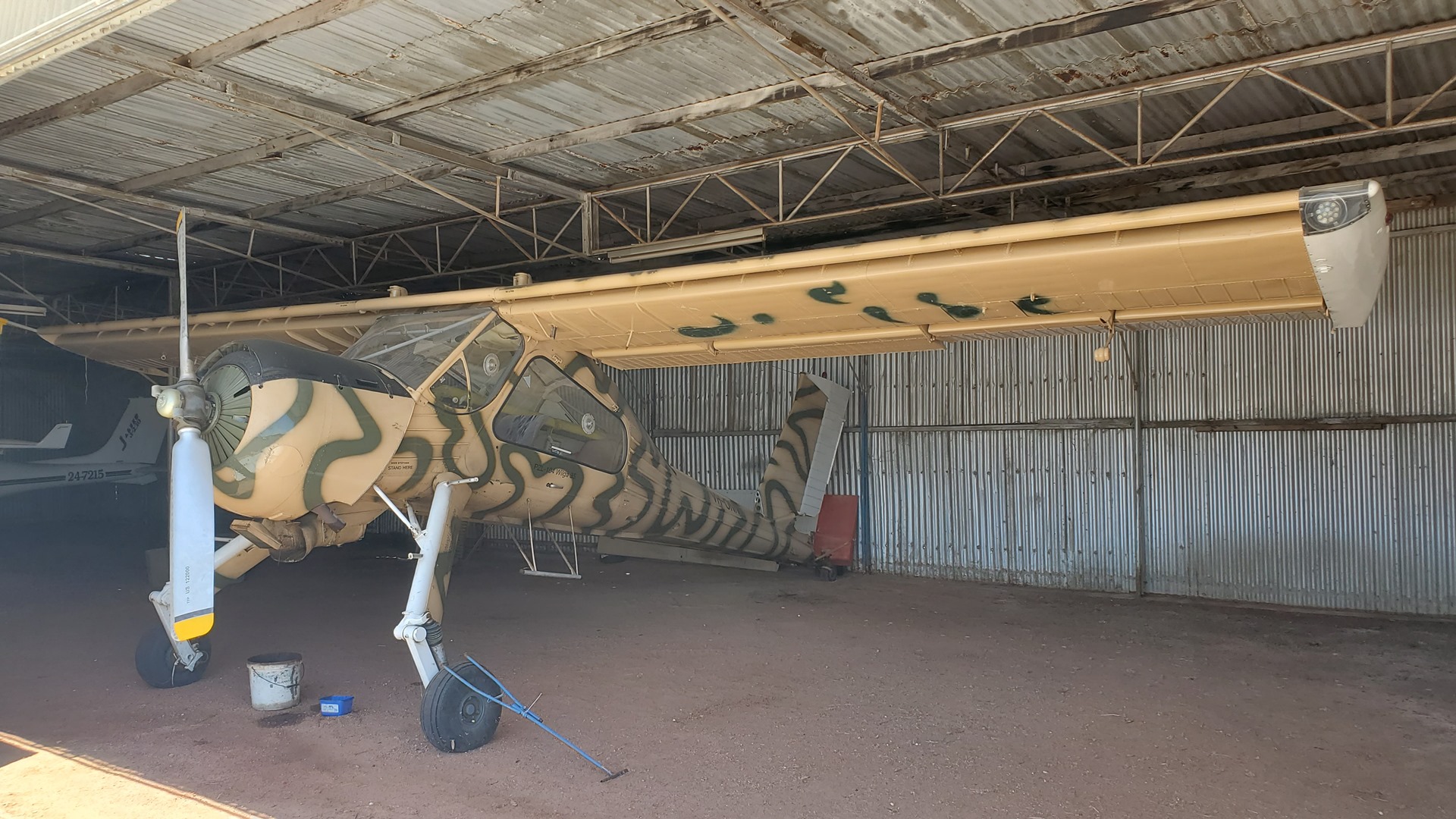
After breakfast Lee provided a lift back out to the airstrip in the Landcruiser and I pre-flighted Planey. I had been relived to see that no donkeys had interfered with him overnight. The weather was once again perfect and I was airbourne en-route to my first planned fuel stop at Kulgera. After passing a couple of thousand feet in the climb I was able to get mobile phone signal so I phoned ahead to the roadhouse at Kulgera to confirm that they had Avgas in stock. They did not! This showed the value of phoning ahead and allowed me to make a course change, heading directly for Alice Springs where I knew for a fact that they did have Avgas.
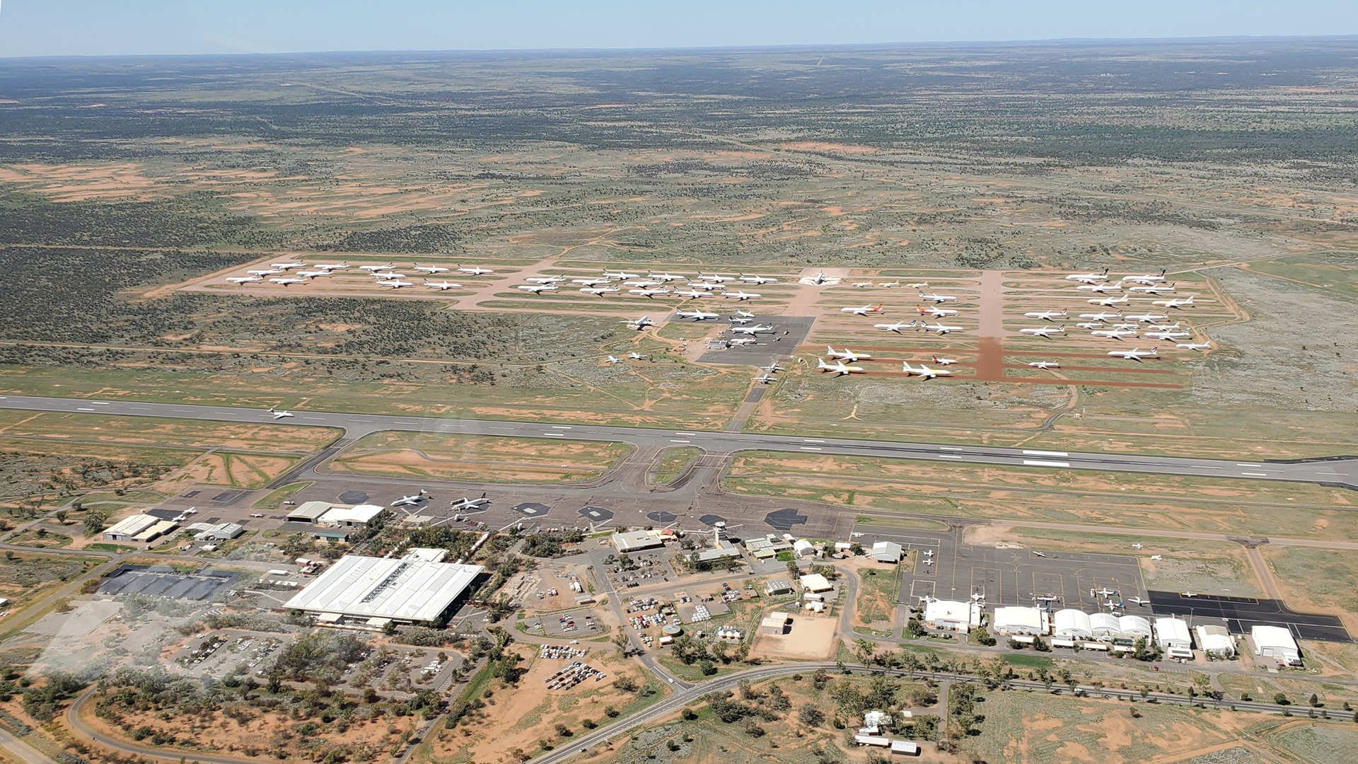
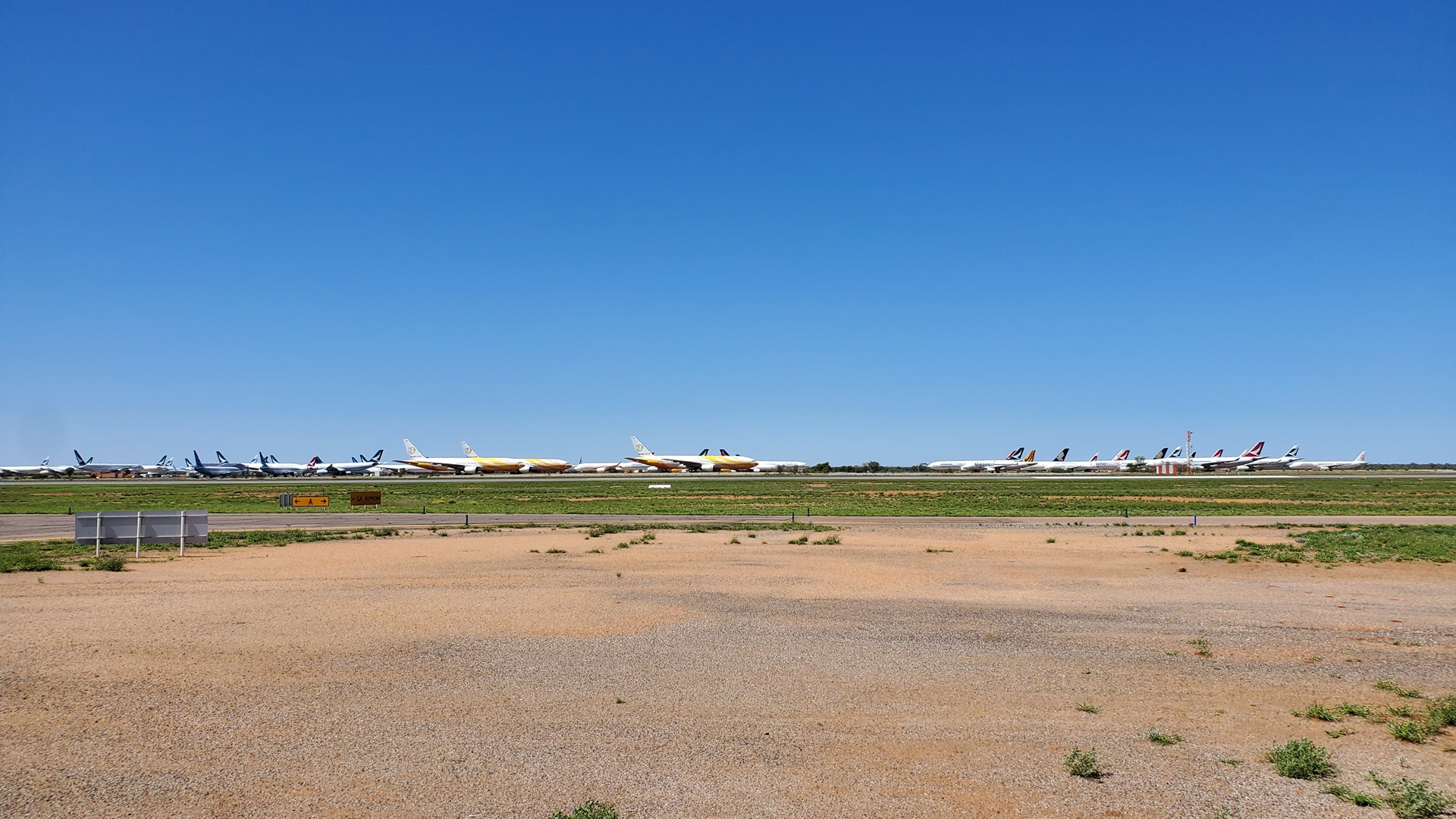
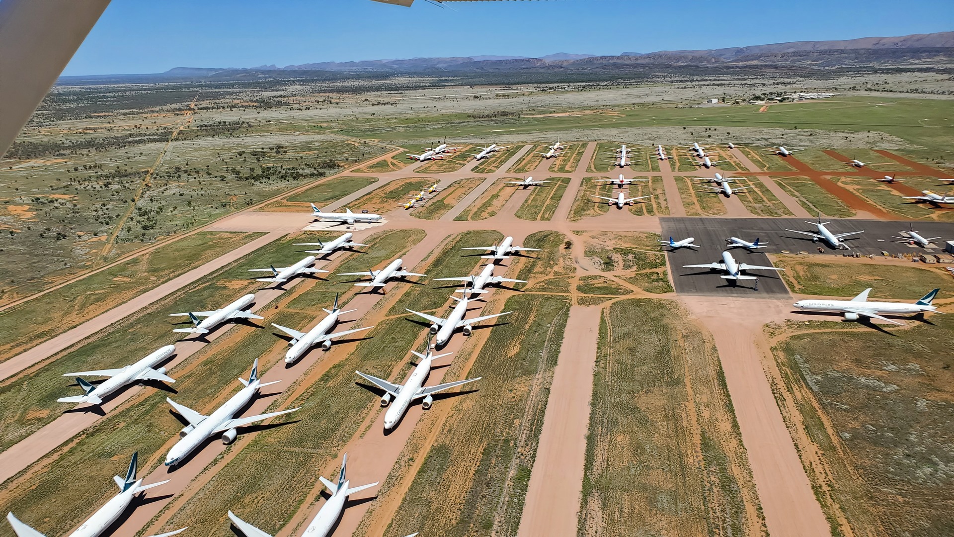
One major change at Alice Springs since I had visited in 2019 was that a global pandemic had occurred. With Alice Springs being located in a hot, dry desert it had been selected as an ideal place to store many of the aircraft which airliners around the world had taken out of service while travel restrictions bit. Most of the stored fleet seemed to be from East Asia; Cathay Pacific and Dragon Air from Hong Kong, Singapore Airlines, Tiger Air and Scoot from Singapore, Hainan Airlines from China, and more.
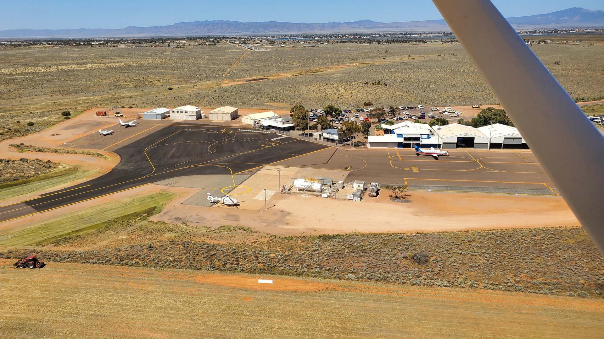
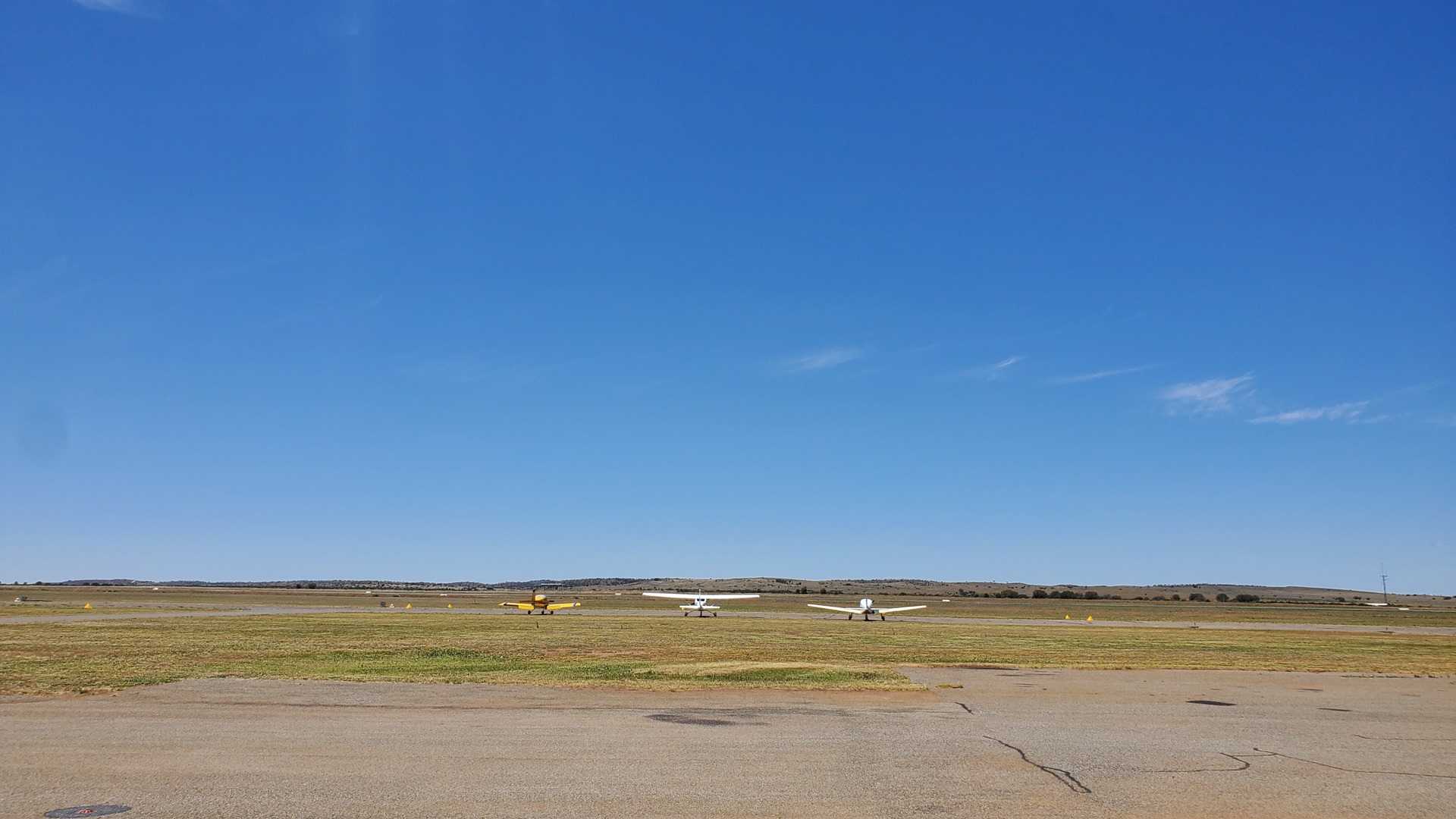
Parking up at the side of the GA apron, I called the fuel supplier who said that he’d be over soon and to meet him at the fuel pumps. I started Planey up again and we changed position; the fueler then showed up in the Avgas truck making the pump somewhat unnecessary. It didn’t take long to top up the tanks and we were soon able to start the engine and get clearance to taxi out to the runway for departure. It made quite a change to be operating out of an airport that actually had a controller; the first since Darwin!
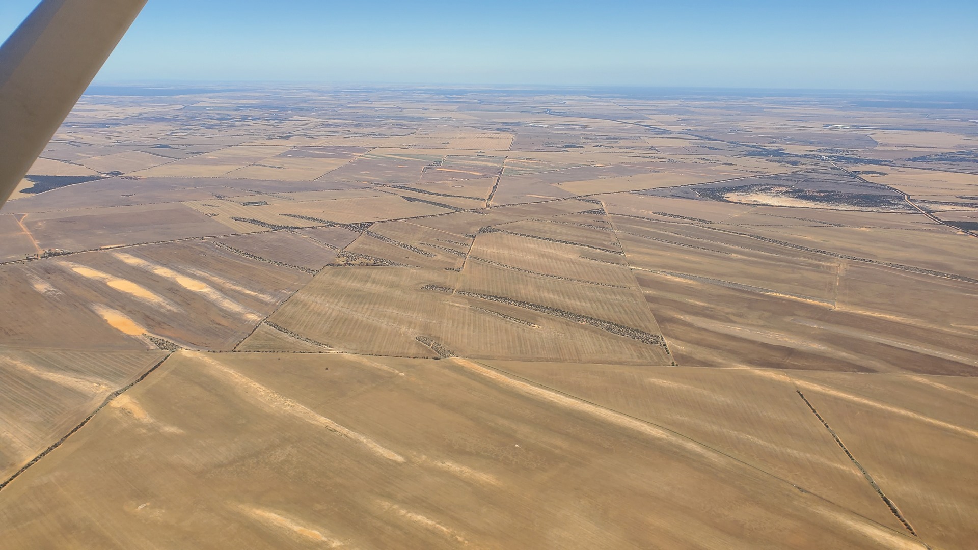
The controller directed us down one of the standard VFR routes that take traffic in and out of Alice Springs, following a small highway out to the south, some way east of the main Stuart highway. The altitude limitation imposed made it a slightly bumpy ride but at least the view of the road down below was good. Road crews below were busy, either repairing a section or upgrading it from dirt to tarmac, it was impossible to tell.

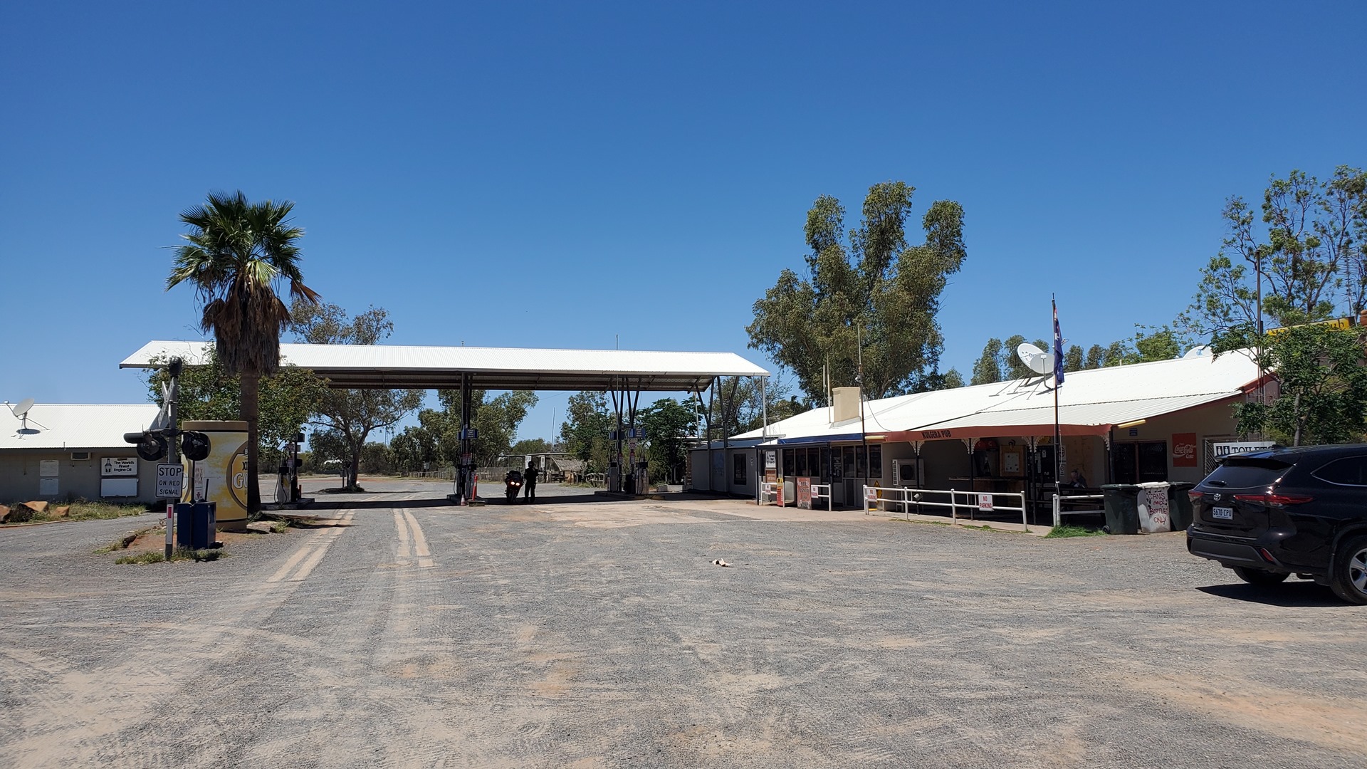
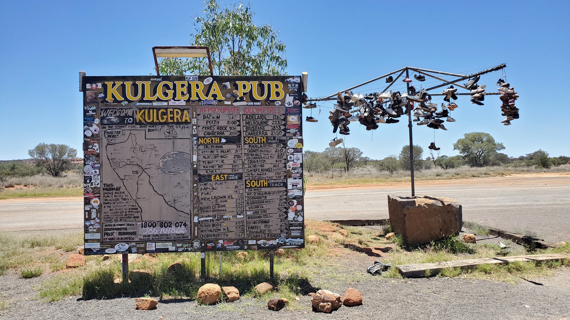
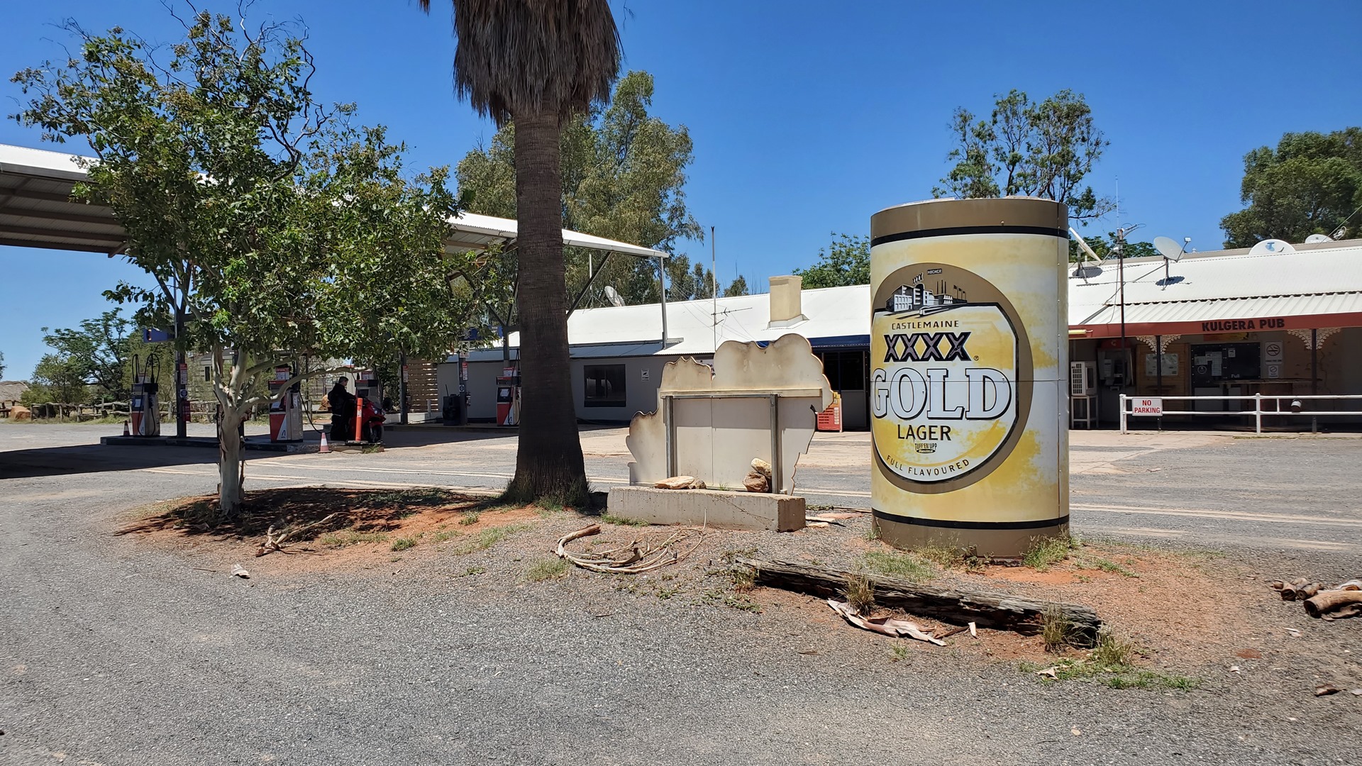
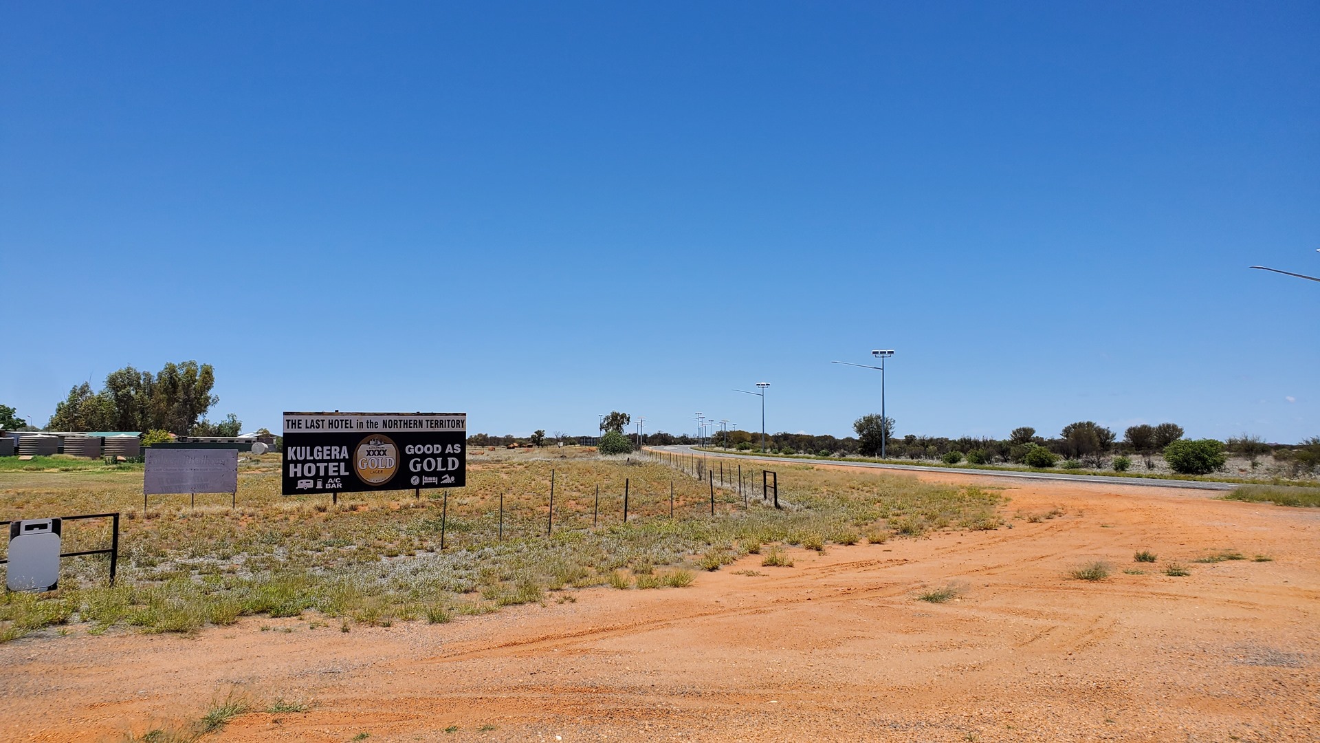
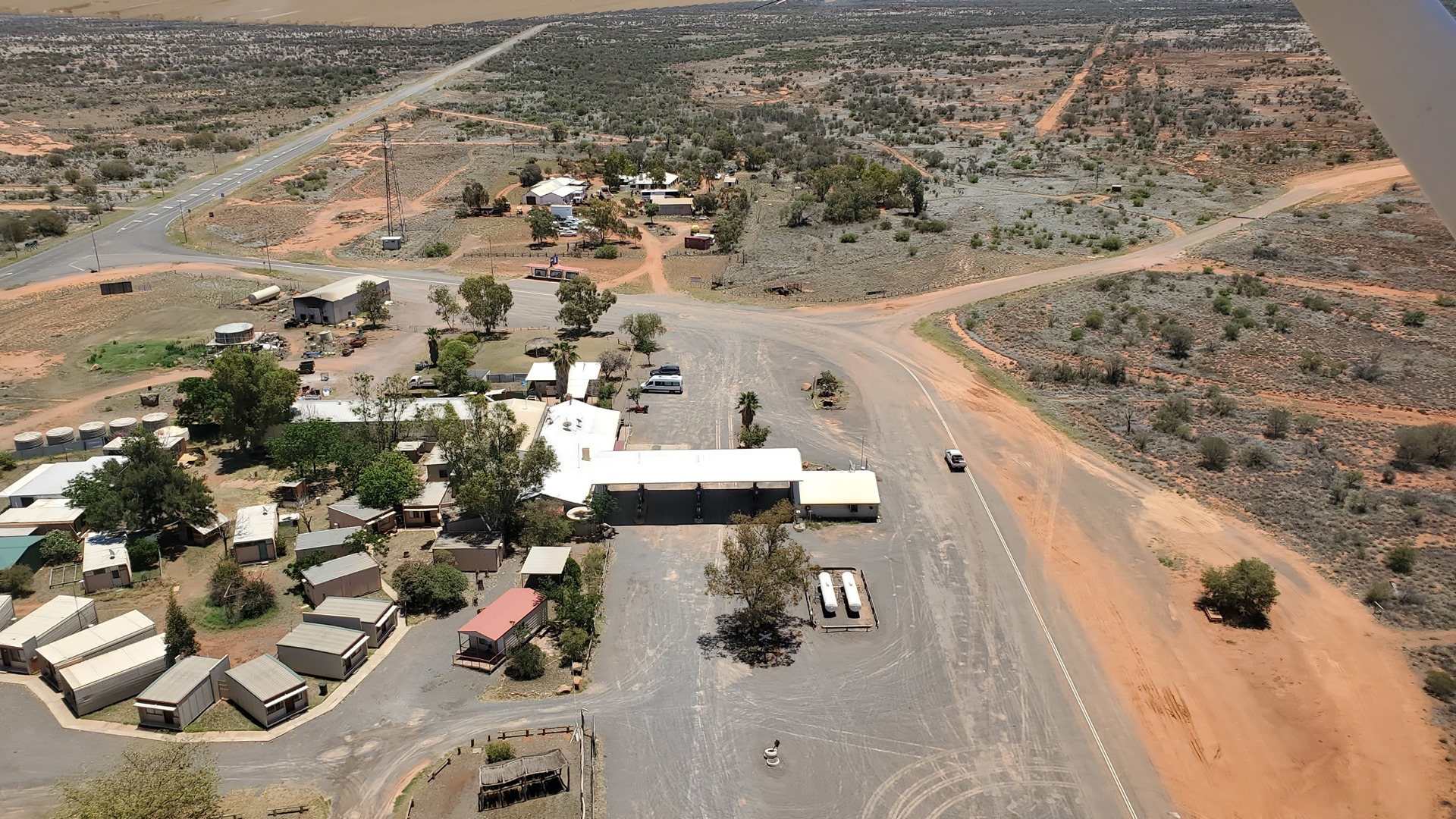
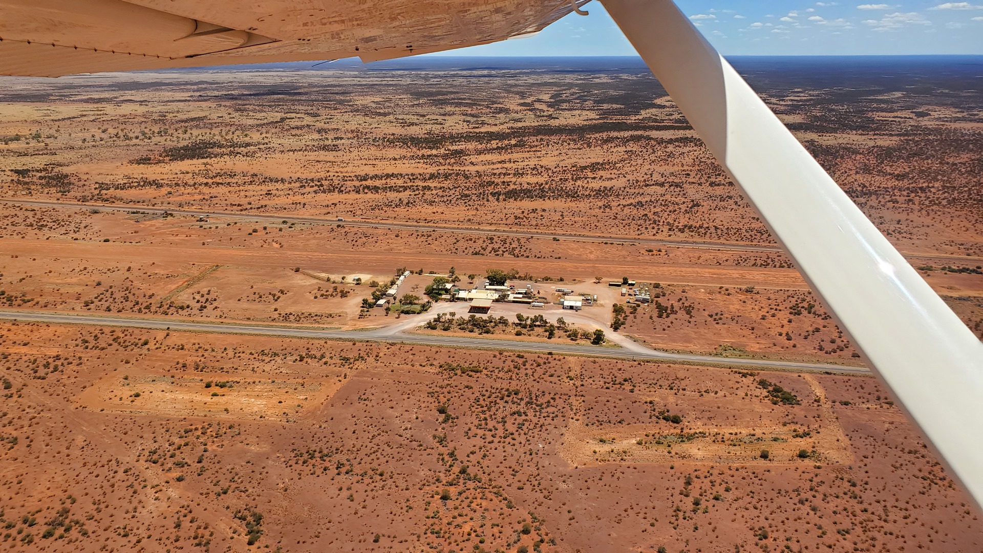
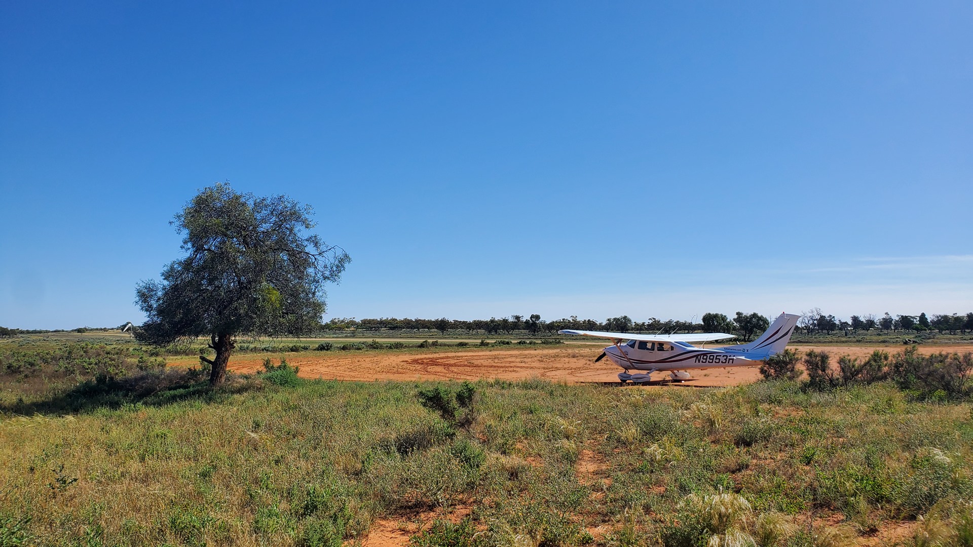
Although they didn’t have fuel, I wanted to check out Kulgera anyway so was soon guiding Planey down onto their long dirt runway. We parked at the eastern end by a Jabiru microlight, next to the highway from where it was just a few minutes walk across the Stuart highway to the roadhouse.
Christmas was fast approaching, and the roadhouse had put some effort into their Christmas trees. This was a stack of old tires, decreasing in diameter as they ascended, and painted green. Beer cans completed the ensemble, taking the place of ornaments.
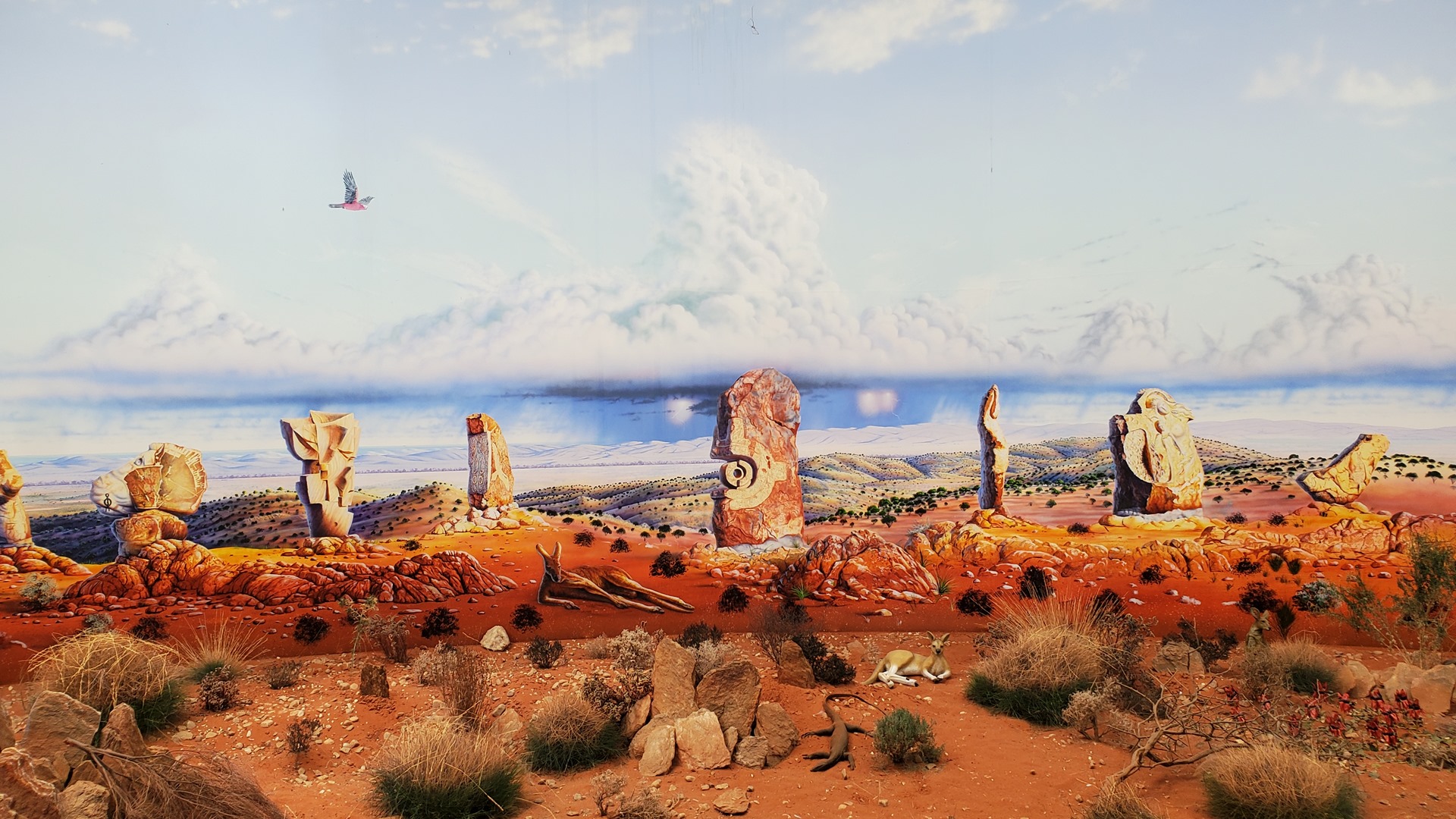
The Kulgera roadhouse had one very special attraction; the Big Beer Can. It had been a while since the last Big Thing so it was exciting to see another one at last. Originally painted in the colours of West End Draught lager, it has more recently been repainted in the colours of XXXX Gold Lager. This brought to mind the old Kiwi joke: “Why do Australians write “XXXX” on their beer cans? Because they can’t spell ‘beer'”.
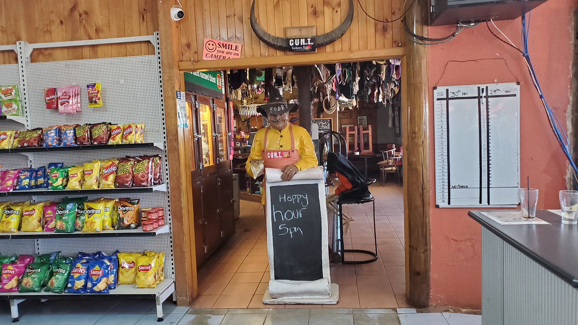
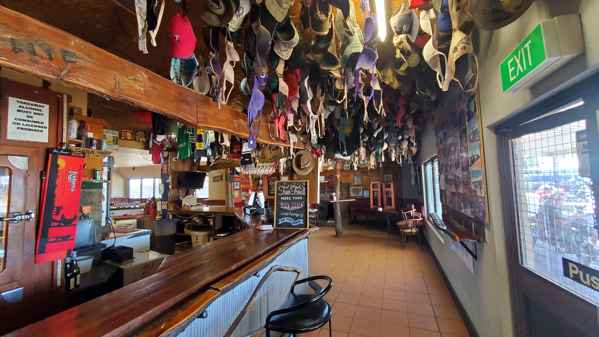
The Kulgera roadhouse’s unusual decor was not limited to the exterior. Inside, as well as the typical petrol-station style of shop, was the Kulgera Pub. For some reason the roof of the bar was covered in hundreds, if not thousands, of bras; all dangling from one clasp. Interspersed were a smaller number of baseball caps. Given that it was lunchtime the place was deserted so after snapping a couple of pictures it was time to stroll back across the Stuart highway and get Planey back into the air again.
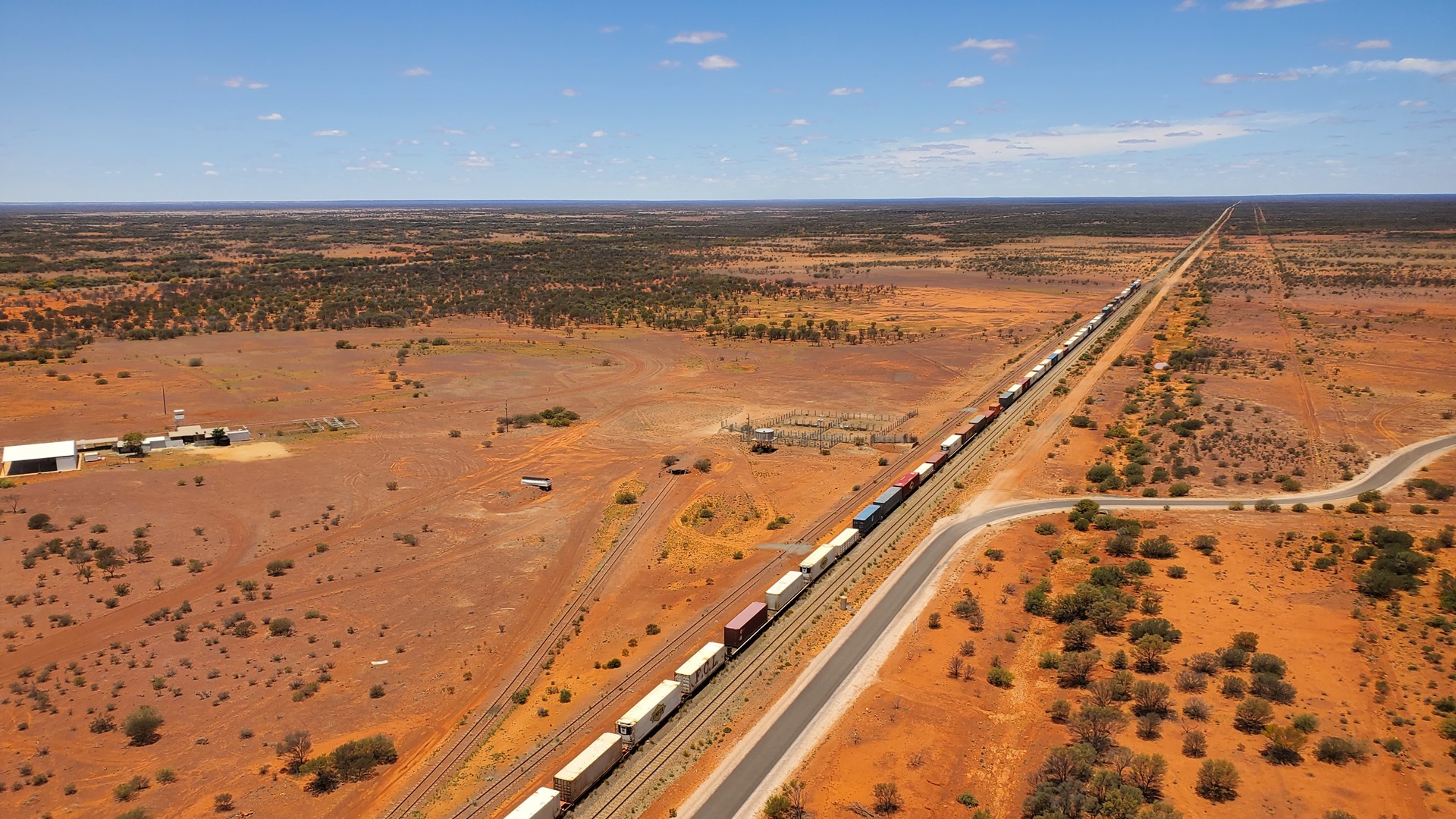

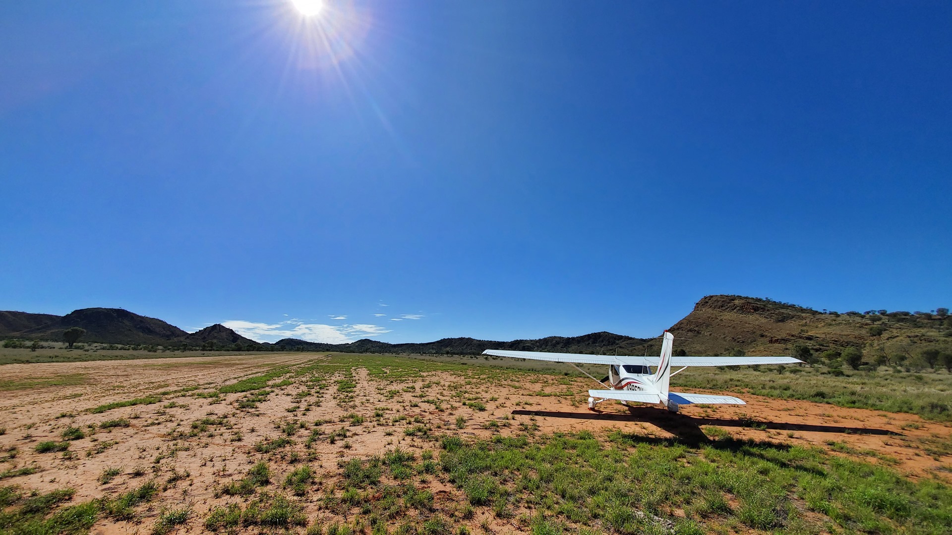
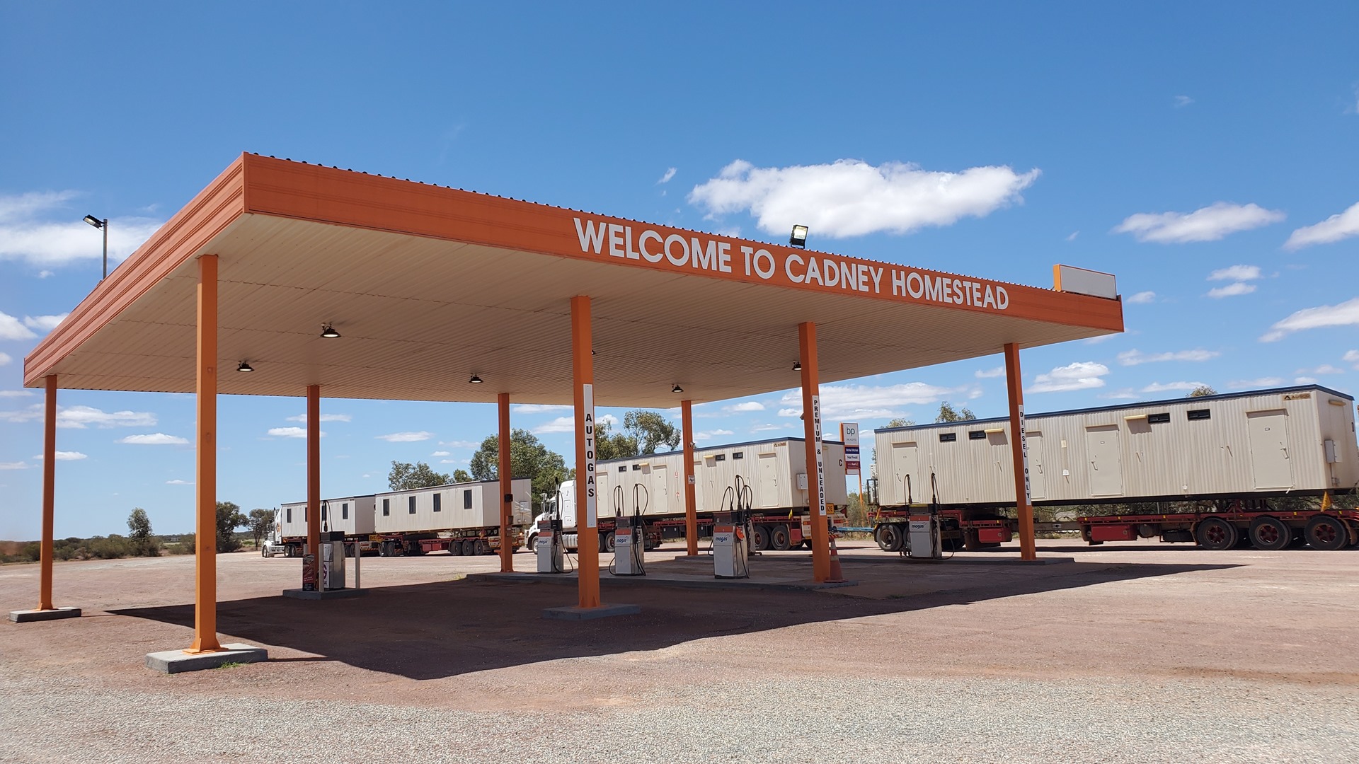
Pointing the nose south, we made our way along the highway, which was paralleled by the Ghan railway. The occasional large freight train could be seen winding its was along the rails below. After a quick landing at the Marla aerodrome we took a longer stop on the dirt strip at the Cadney Homestead and Roadhouse, well into the state of South Australia. A typical outback roadhouse, Cadney offers fuel, food, and accommodation to those travelling the highway between Darwin and the south coast. It was the perfect place to grab some lunch before continuing south.
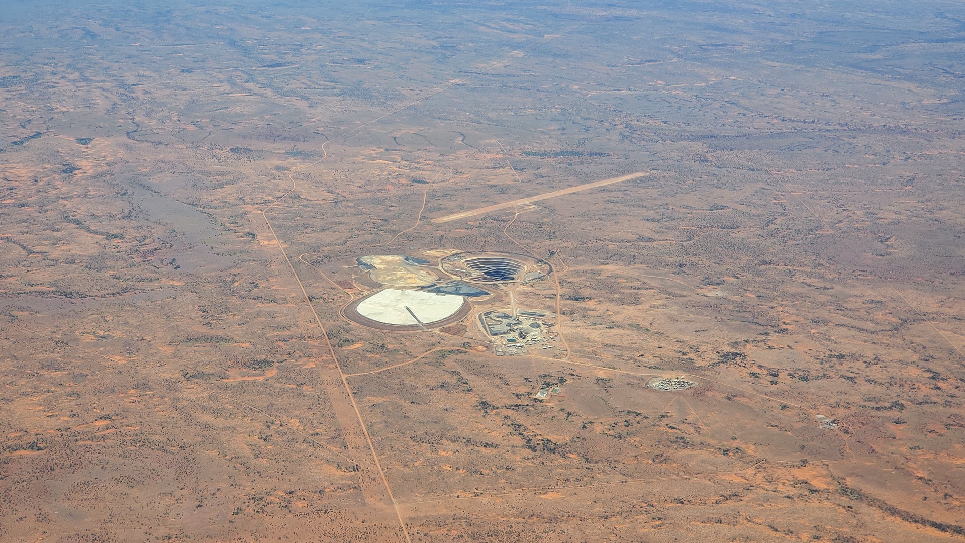
Fully fed, it was now time for the final flight of the day. This would take us all the way down to the coast and the town of Ceduna, with a brief touchdown on the dirt strip that services the rail siding at Wynbring. Towards the end of the first leg was the Challenger Gold Mine. This remote facility, 165km west of the Stuart highway, is equipped with its own airstrip in the same fashion as those we’d passed out in Western Australia. If you don’t want to fly in then you can take a 9 hour drive along a private dirt road instead. This is a relatively new mine, discovered in 1995 and put into operation in 2002; initially producing over 100,000 ounces of gold a year, production has steadily decreased in the subsequent years, with the cost of production increasing.
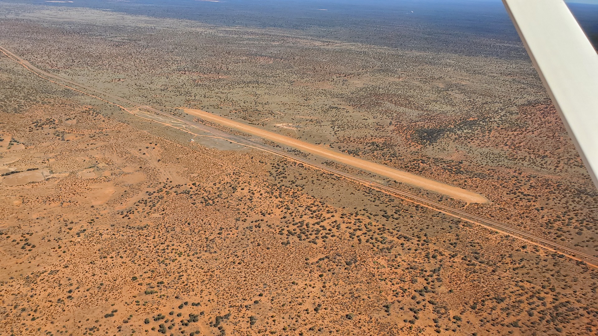
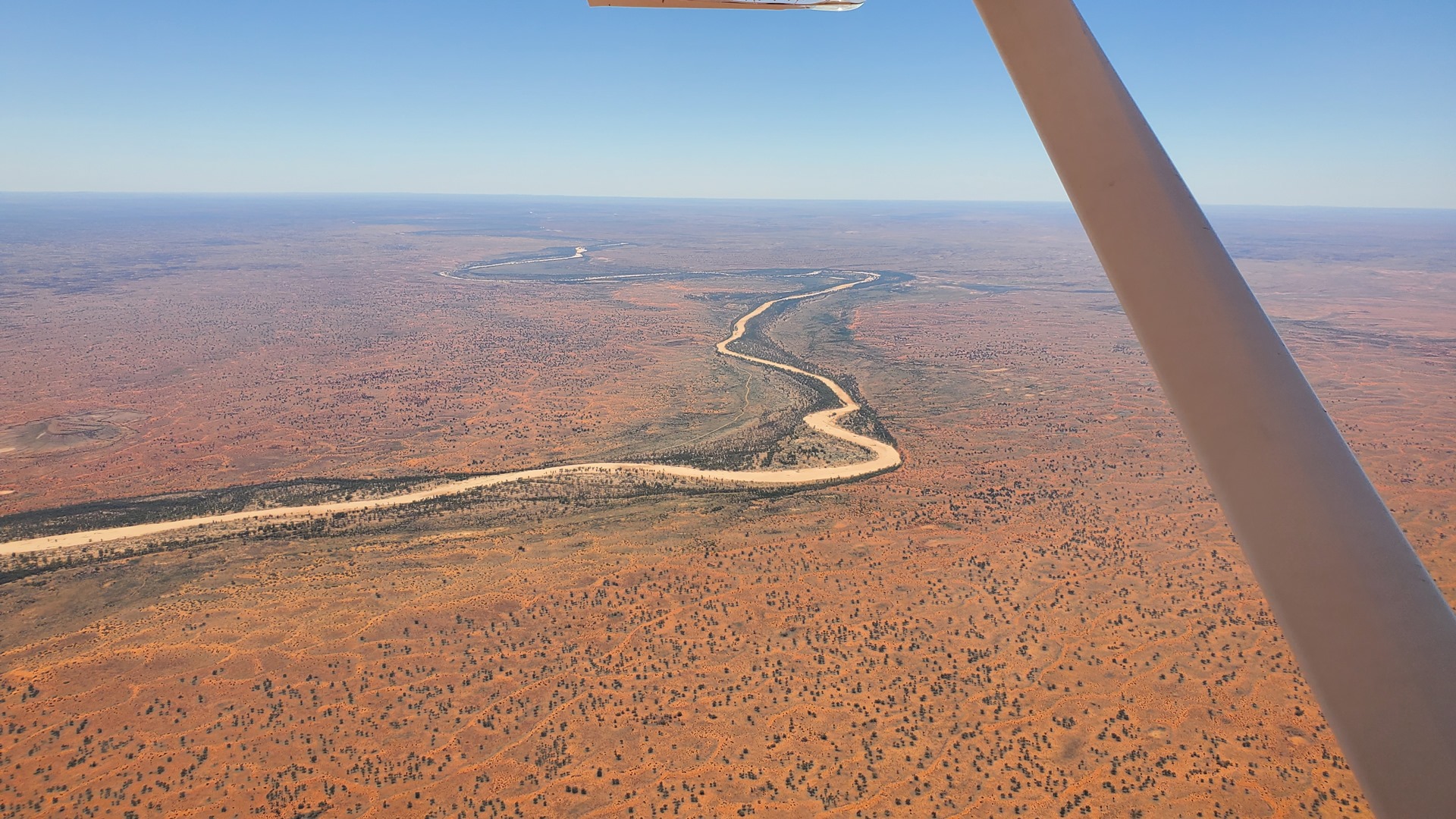
Continuing on, we soon arrived at Wynbring. In the days of steam trains needed access to water every 60km or so, and multiple small dams were constructed along the railway to service this need. Wynbring was one such location. The airstrip is still somewhat maintained; for what purpose, I don’t know, but it could be to provide emergency access to the tourist trains which ply this route between Adelaide and Perth. One had to be careful on landing to avoid the various small shrubs that dot the strip surface.
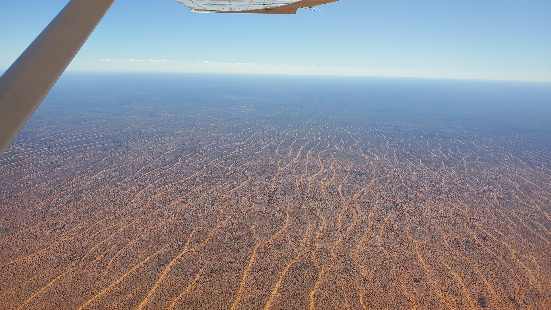
The final leg took us over the Yellabinna Regional Reserve, and surrounding natural protection areas. Characterised by sparsely vegetated red sand dunes, the park offers a home to rare wildlife including scarlet-chested parrots, major mitchell cockatoos, thorny devils (a type of very spiky lizard), and malleefowl. The days’ flight had also taken us over the dingo fence; much like the rabbit fence in the west, this is a colossal (5,600km or 3,500 mile) structure which was built in an attempt to cut off the fertile southeast from the rest of the country and keep dingoes, or wild dogs, away from livestock. It has apparently been fairly successful.
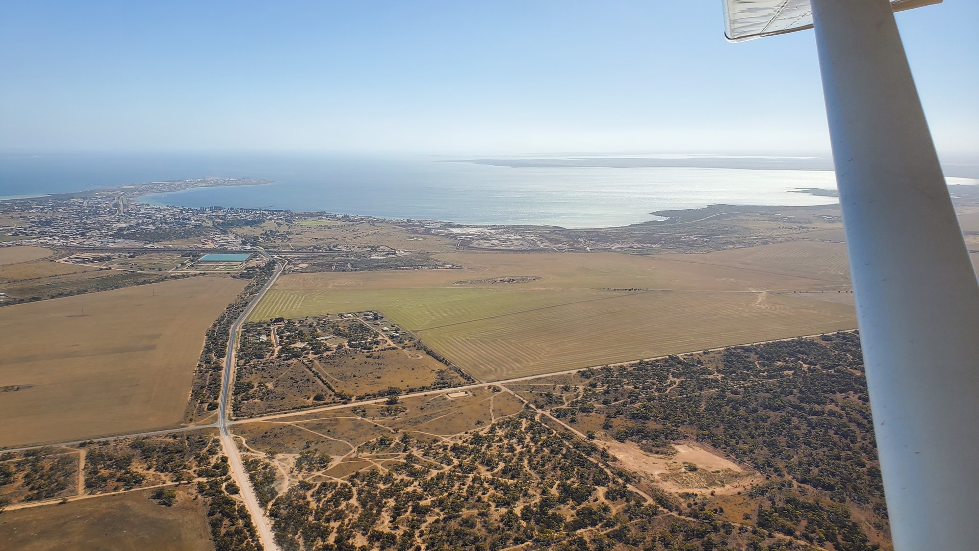
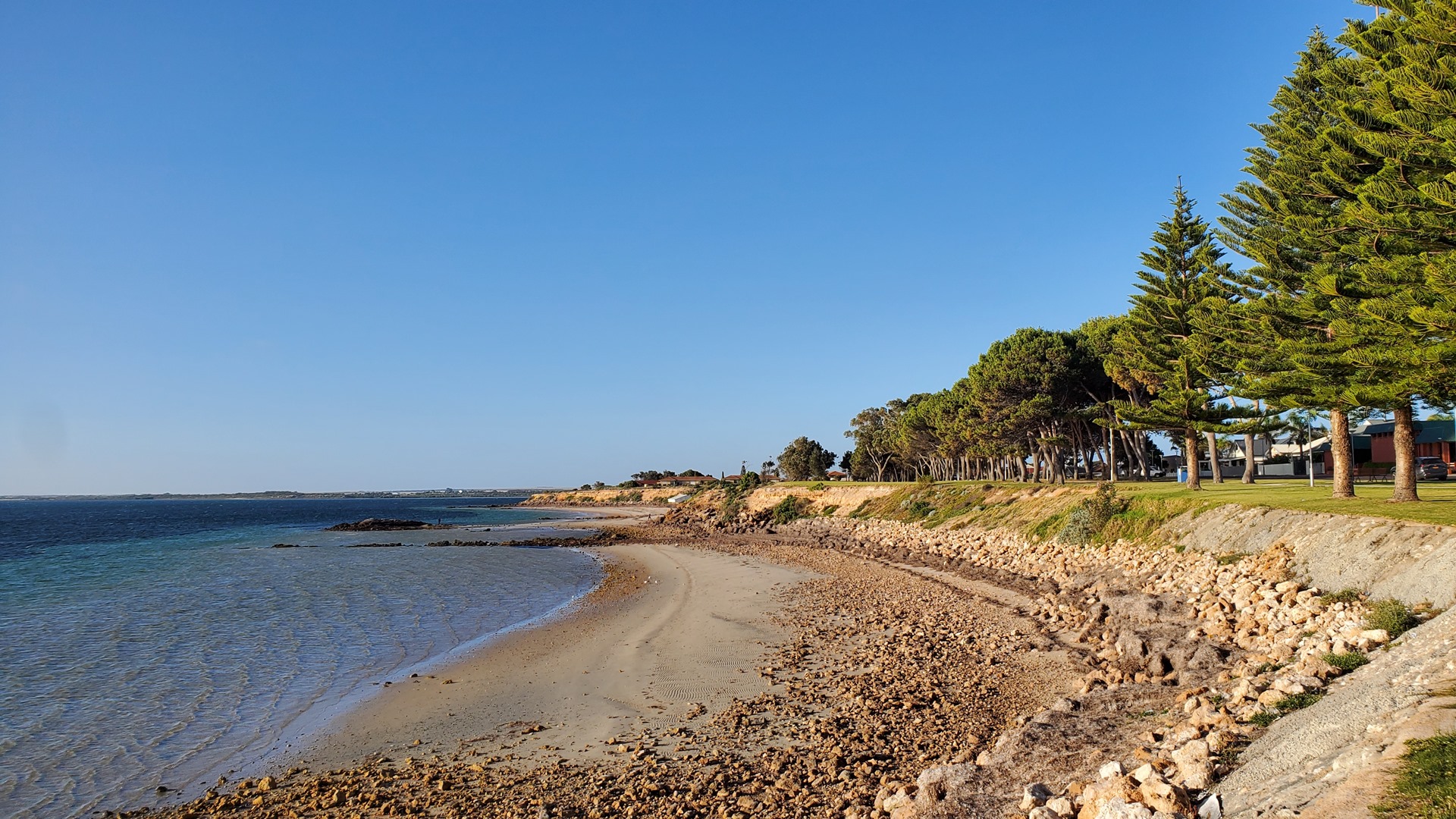
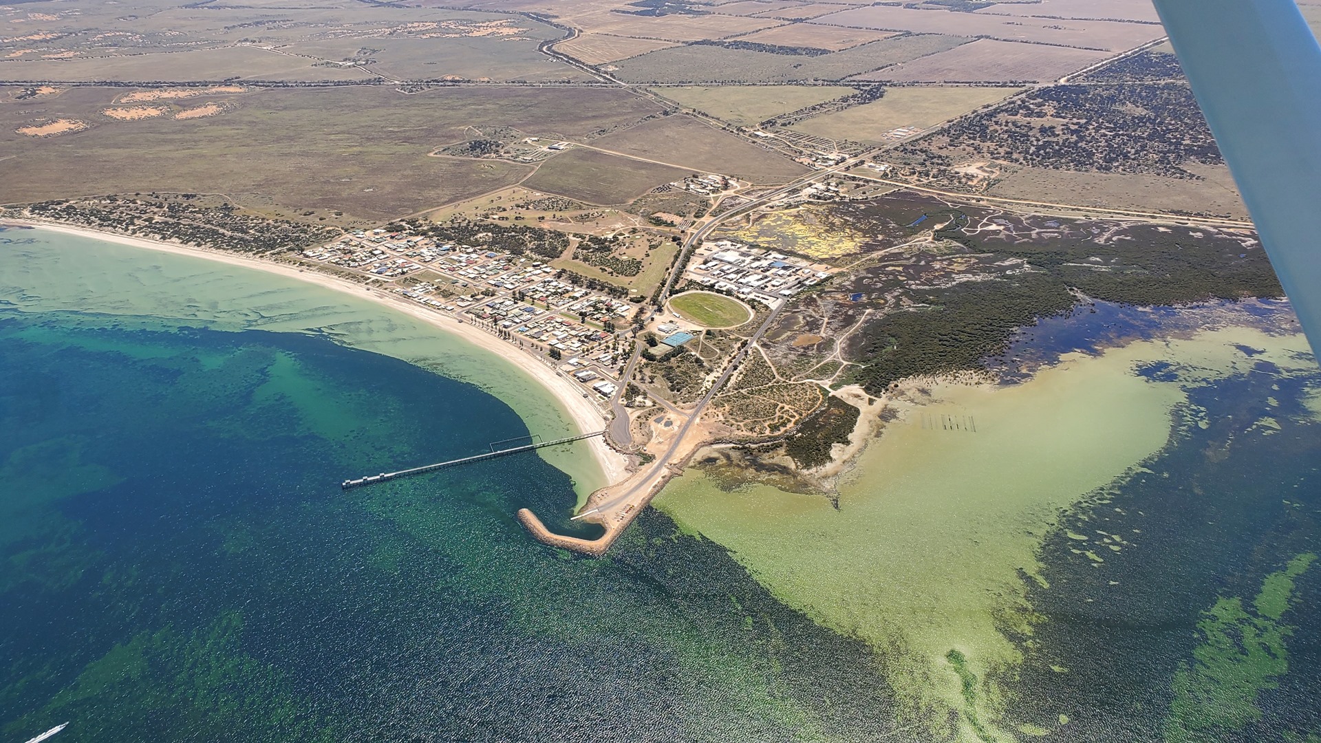
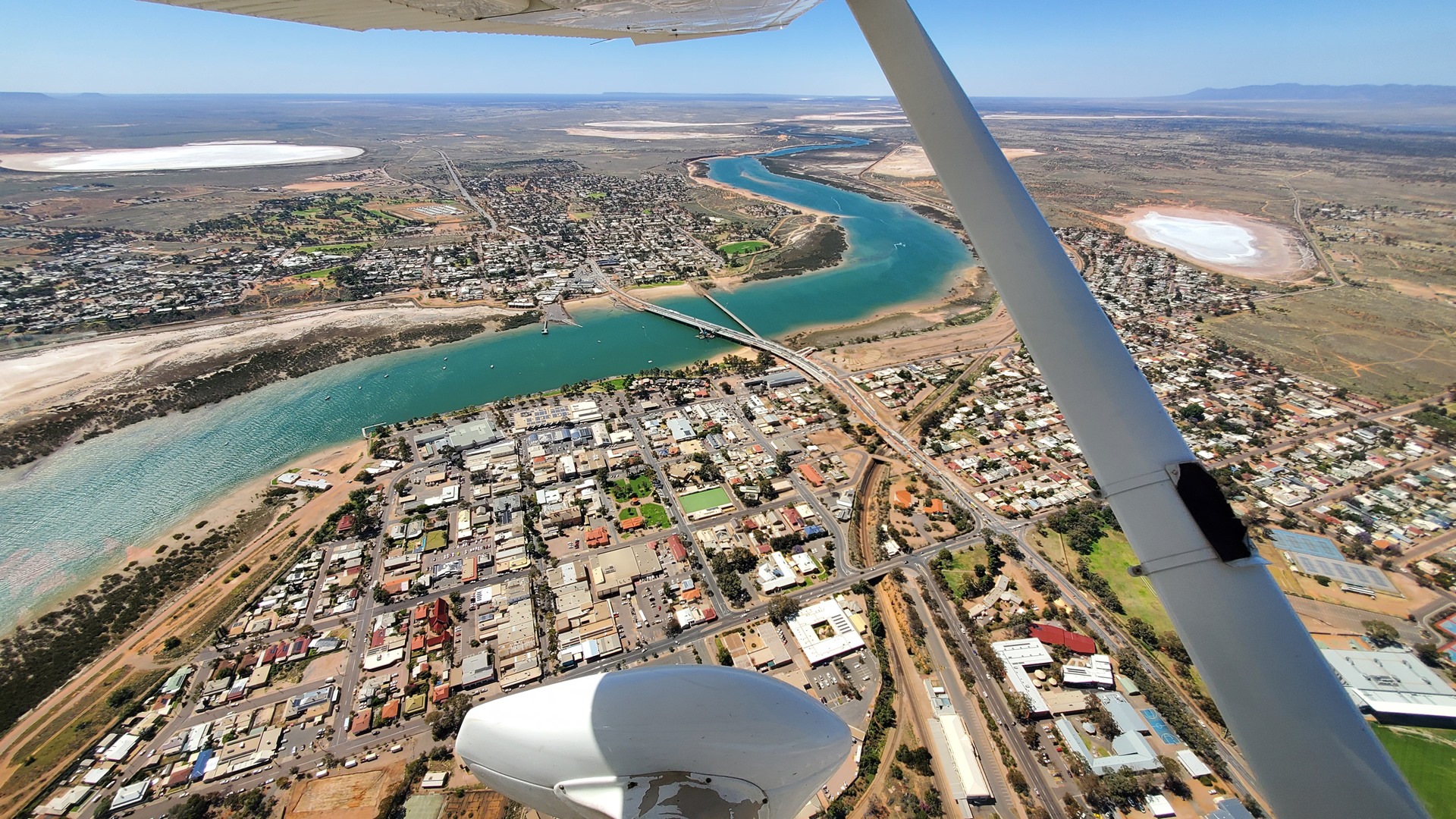
Before long the coastline became visible out of the slight haze ahead. This was a welcome sight after a few days in the hot center of the country. The town of Ceduna lay dead ahead; proclaimed as a town in 1902 under the name of Murat Bay, it wasn’t until the railway came through in 1915 and named the nearby siding Ceduna that the name stuck.
The hotel sent out their shuttle van to provide a ride down to their location on the shoreline. A cool onshore breeze was blowing and I was now glad to have bought a Flying Doctors service jacket in Darwin. After settling in the room I donned my jacket and set out to walk north through the town towards what must surely be its largest attraction; the Big Oyster.
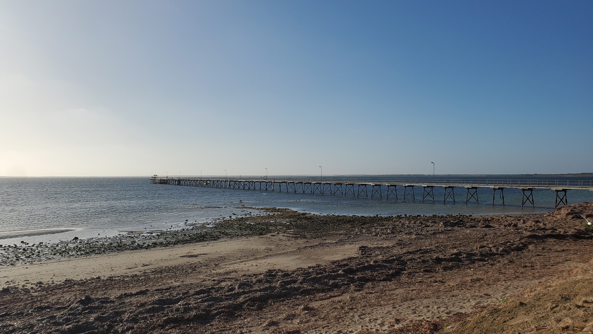
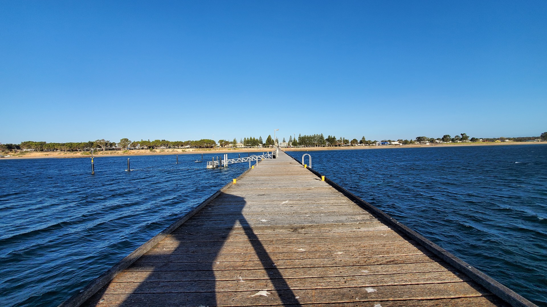
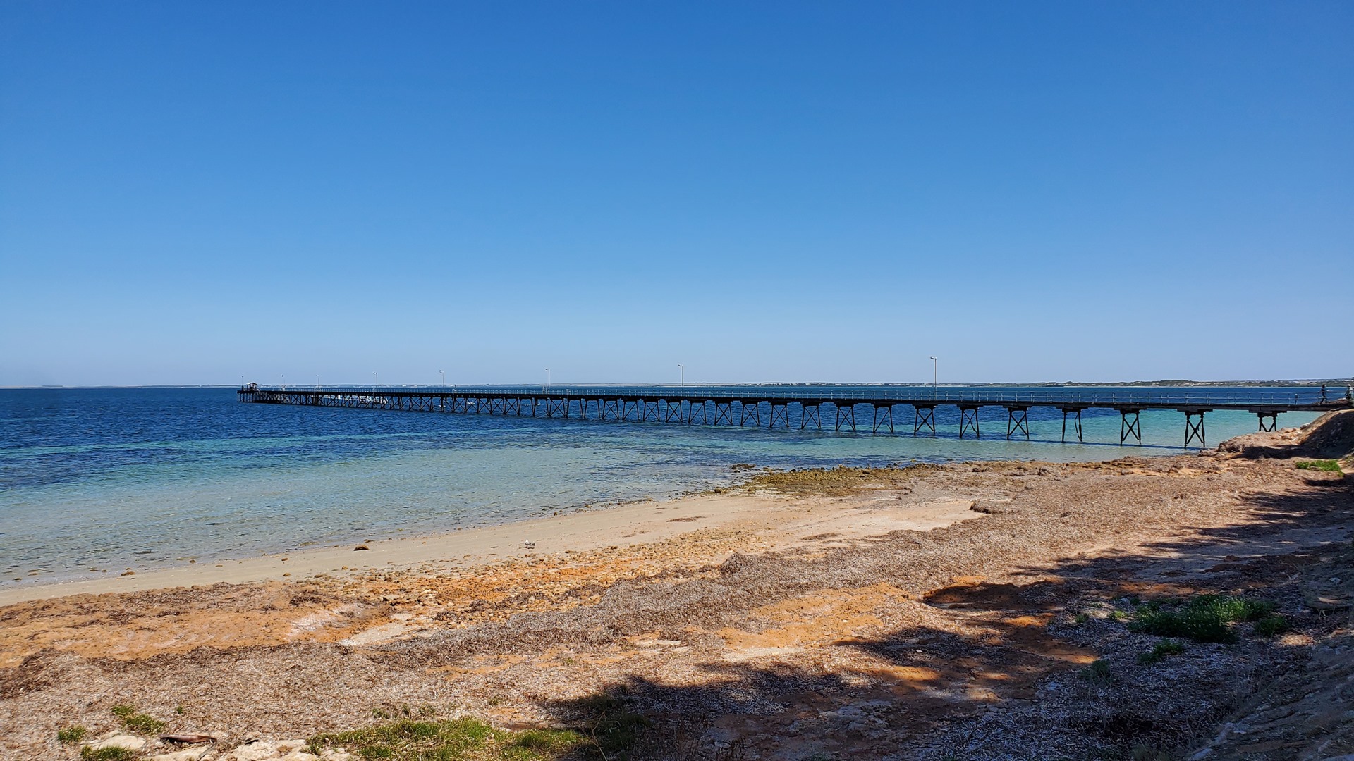
Before that however I took a walk out along the Ceduna jetty. This 380m long structure offers a safe swimming enclosure near the end as well as plenty of opportunities for fishing. Not many people were out braving the chill today. A 30 minute walk from here, the last 10 minutes being along the coastal highway, brought me to the site of the Big Oyster. And that’s all it was; the site. The Oyster itself had been removed for renovations.
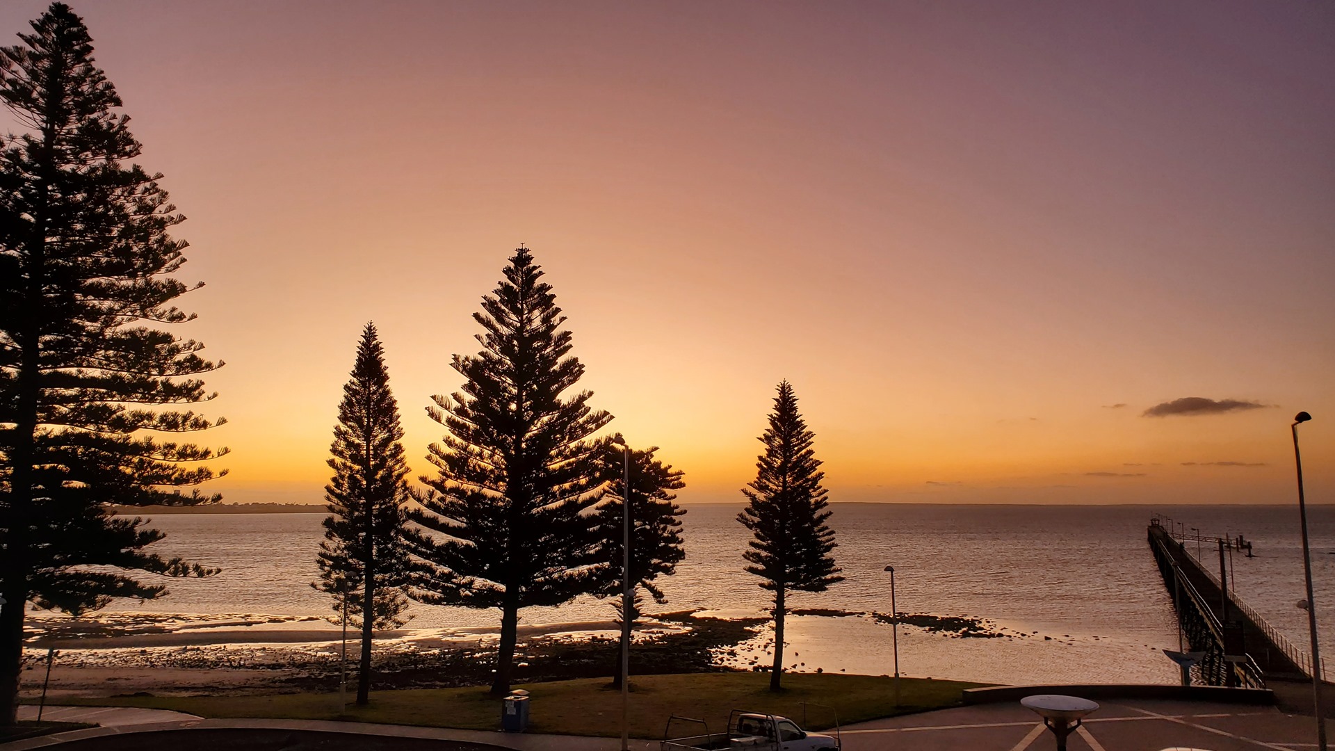
I trudged back to the hotel after my unsuccessful oyster visit, and rounded out the day with a relaxed glass of wine and enormous room-service dinner of pasta and chocolate brownie on the balcony, watching the sun set over the water in the west.
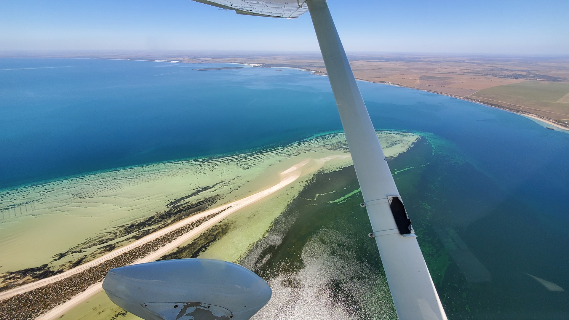
The next morning kicked off with a walk into the town center (about 2 blocks away) for breakfast. The hotel made the shuttle available again for a ride back to the airport and, given that no fuel was needed, it was a quick process to pre-flight Planey and get into the air. I pointed his nose east and we struck out along the shoreline. The weather was ideal; bright sunny skies and a moderate breeze whipping up the occasional whitecap on the water down below.
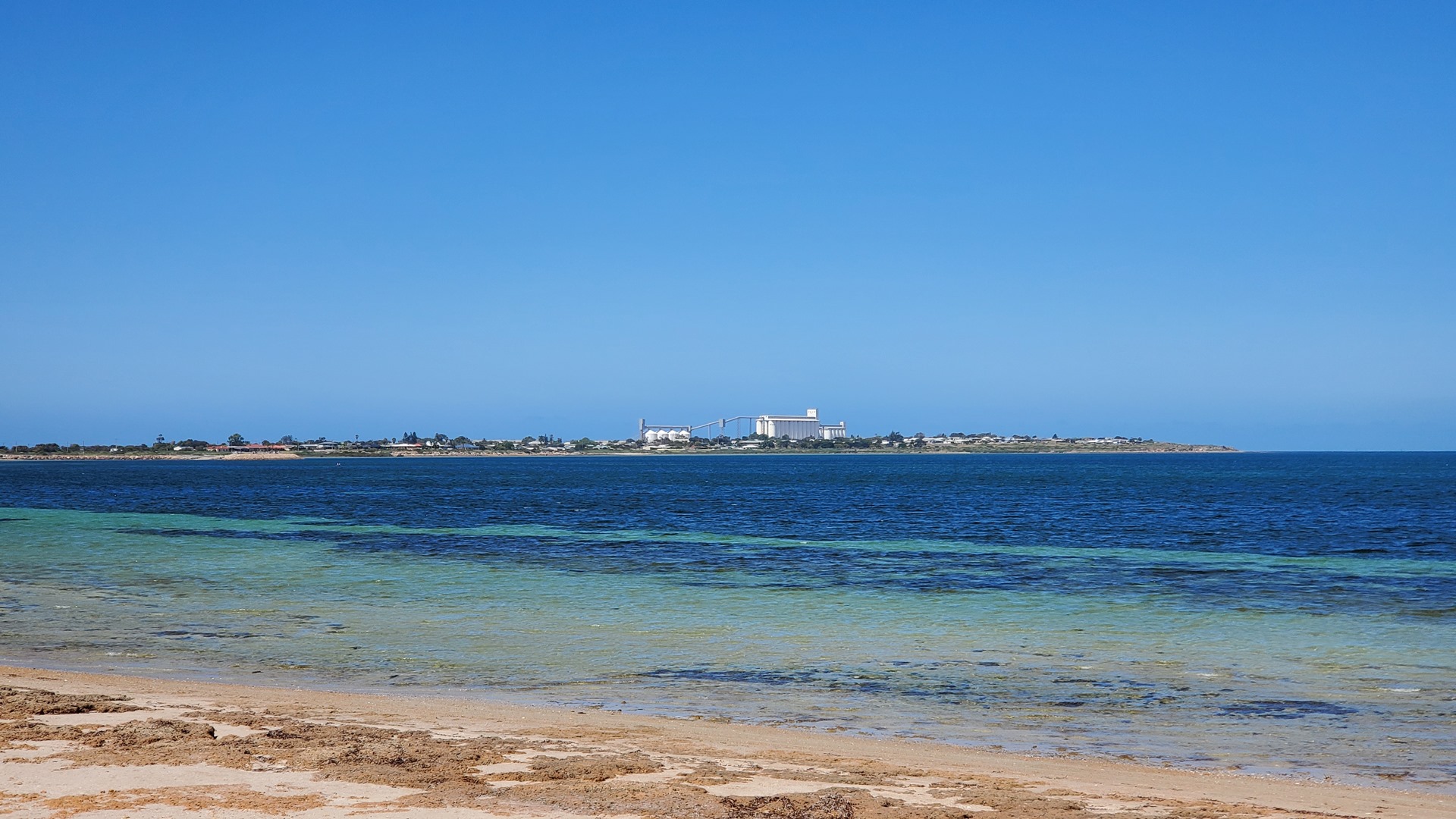
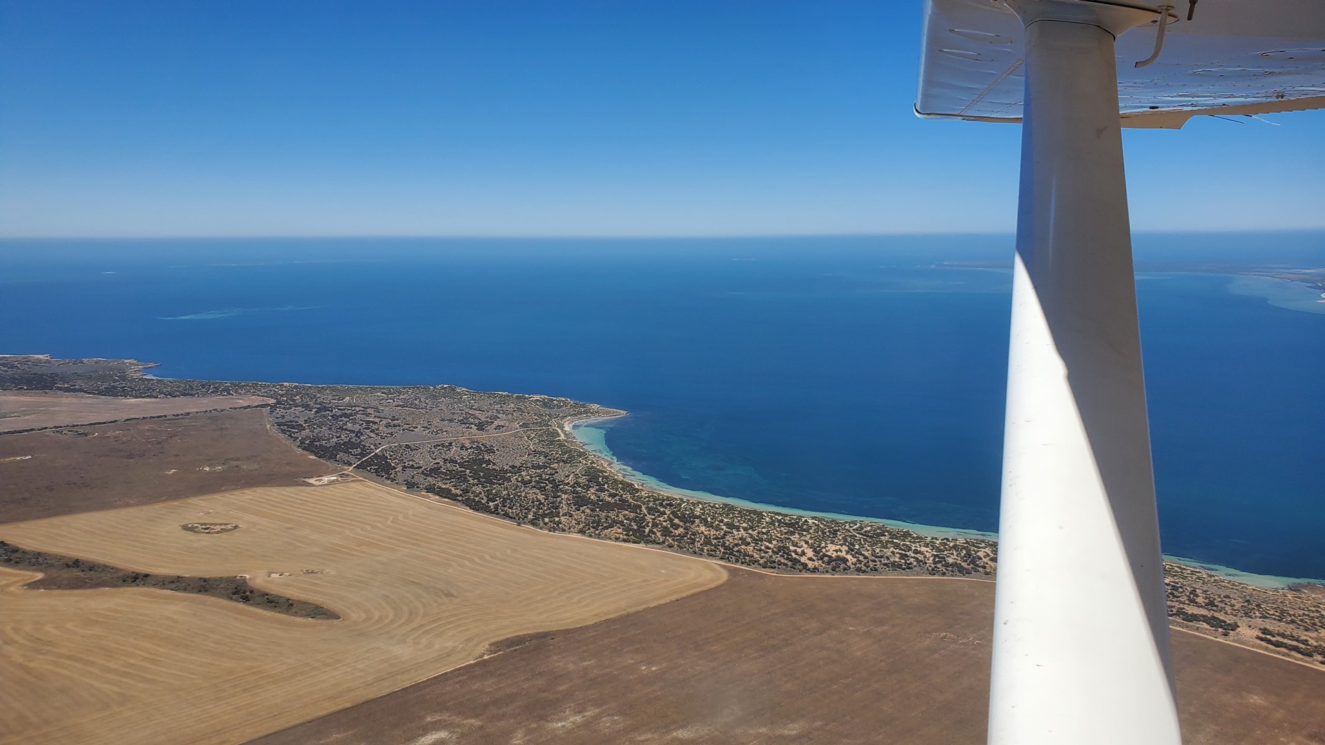
Our route followed the coastline to start off with, across the inlets of Smoky Bay and Streaky Bay. This part of the coastline was first spotted by Europeans in 1802, when the British navigator Mathew Flinders charted it. He named Smoky Bay after the smoke emanating from fires lit by Aboriginal residents of the area. The first Europeans to inhabit the region were whalers, with pastoralists arriving later in the 1860s. These days tourism and the oyster farming industry are the main economic drivers.
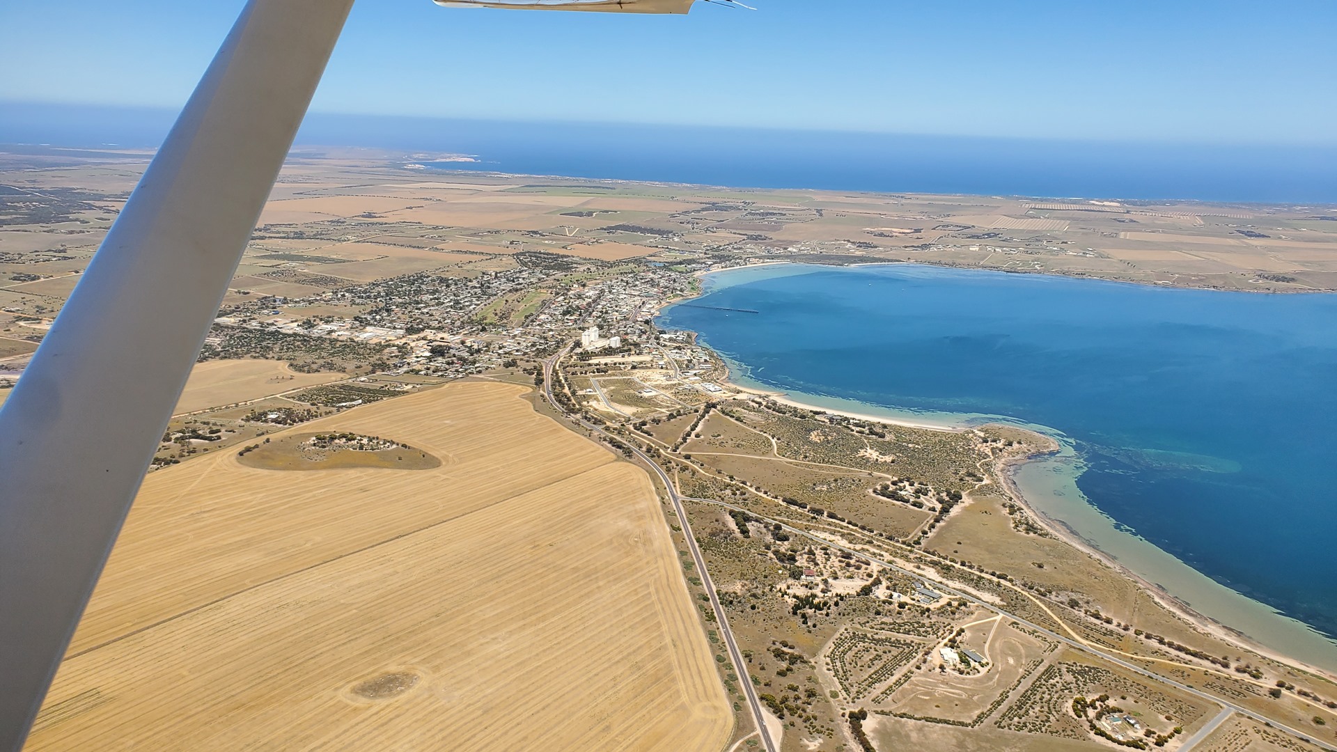

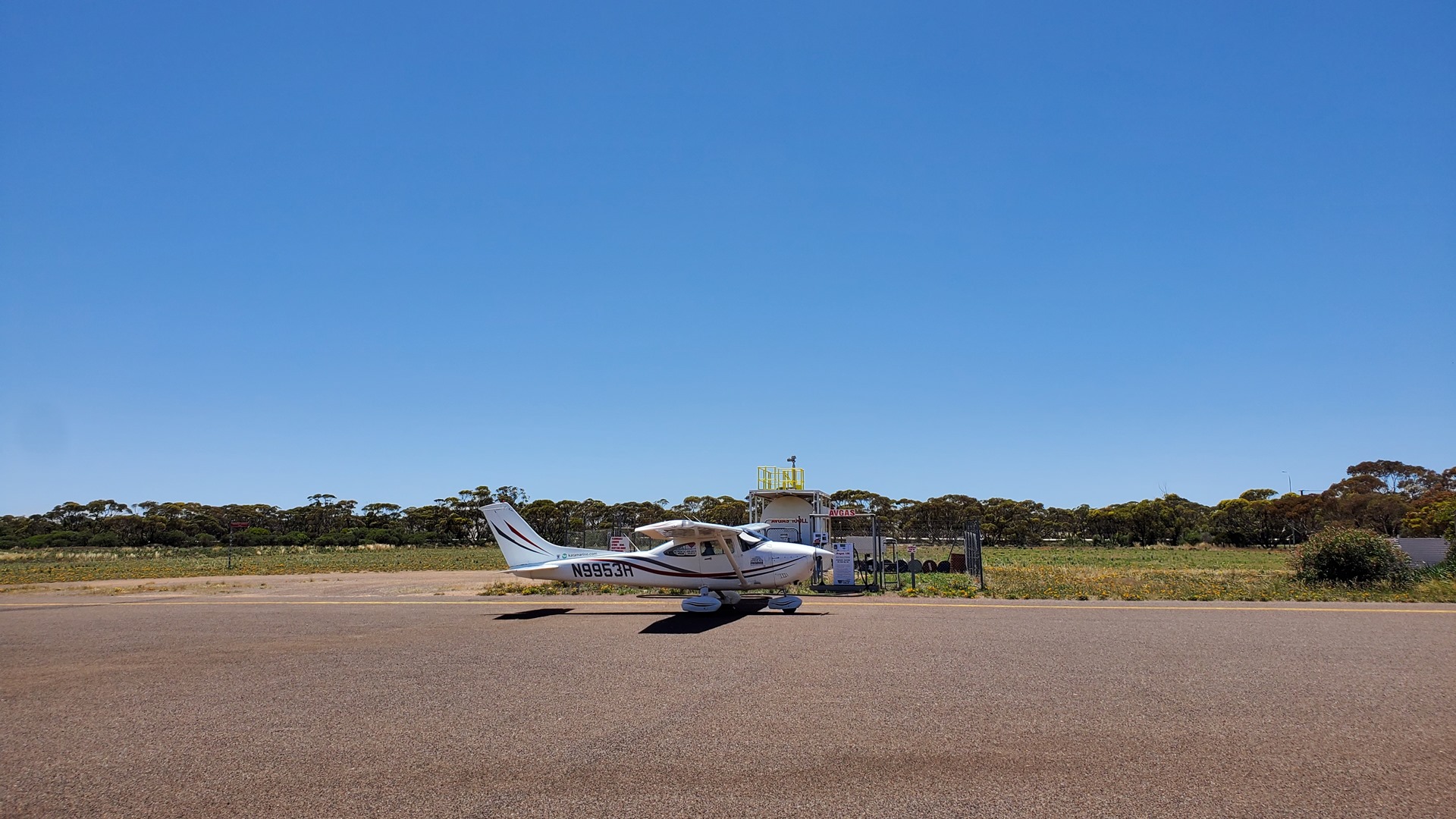
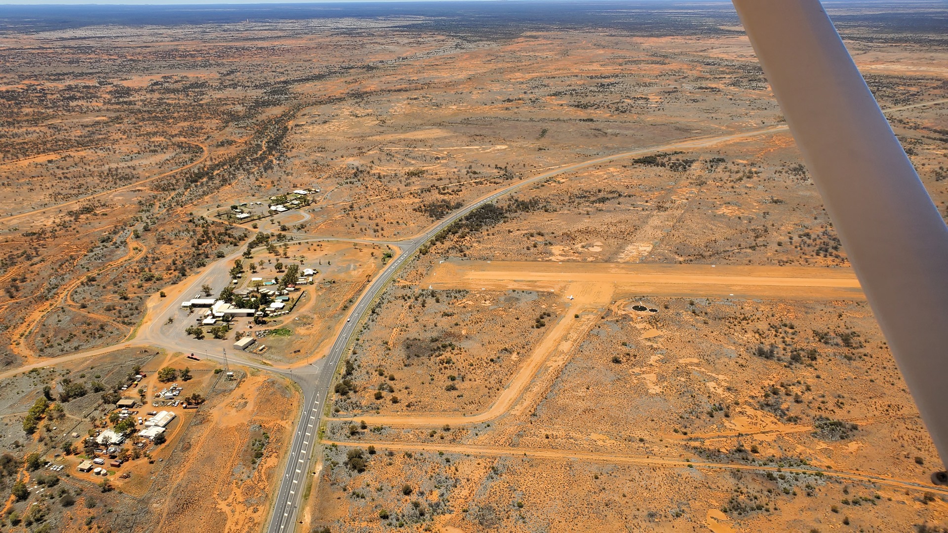
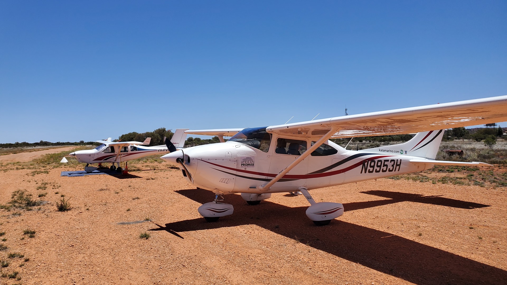
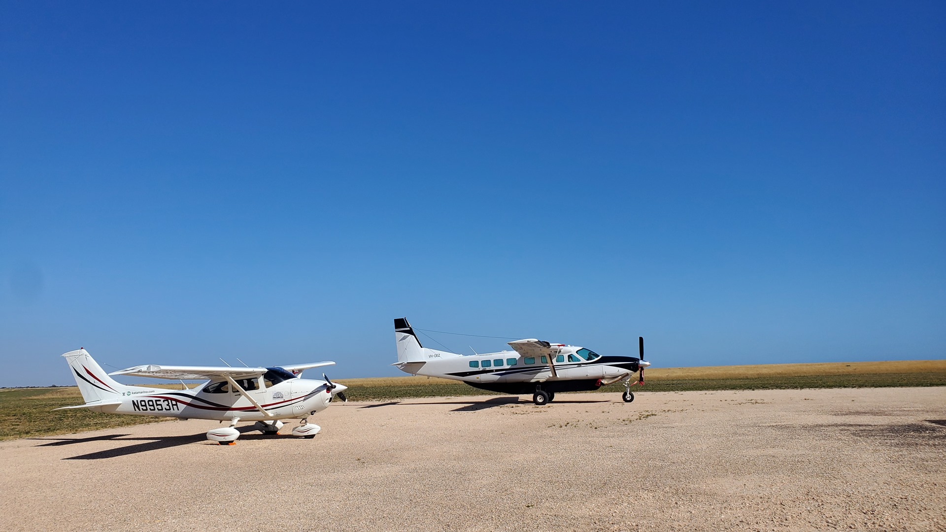
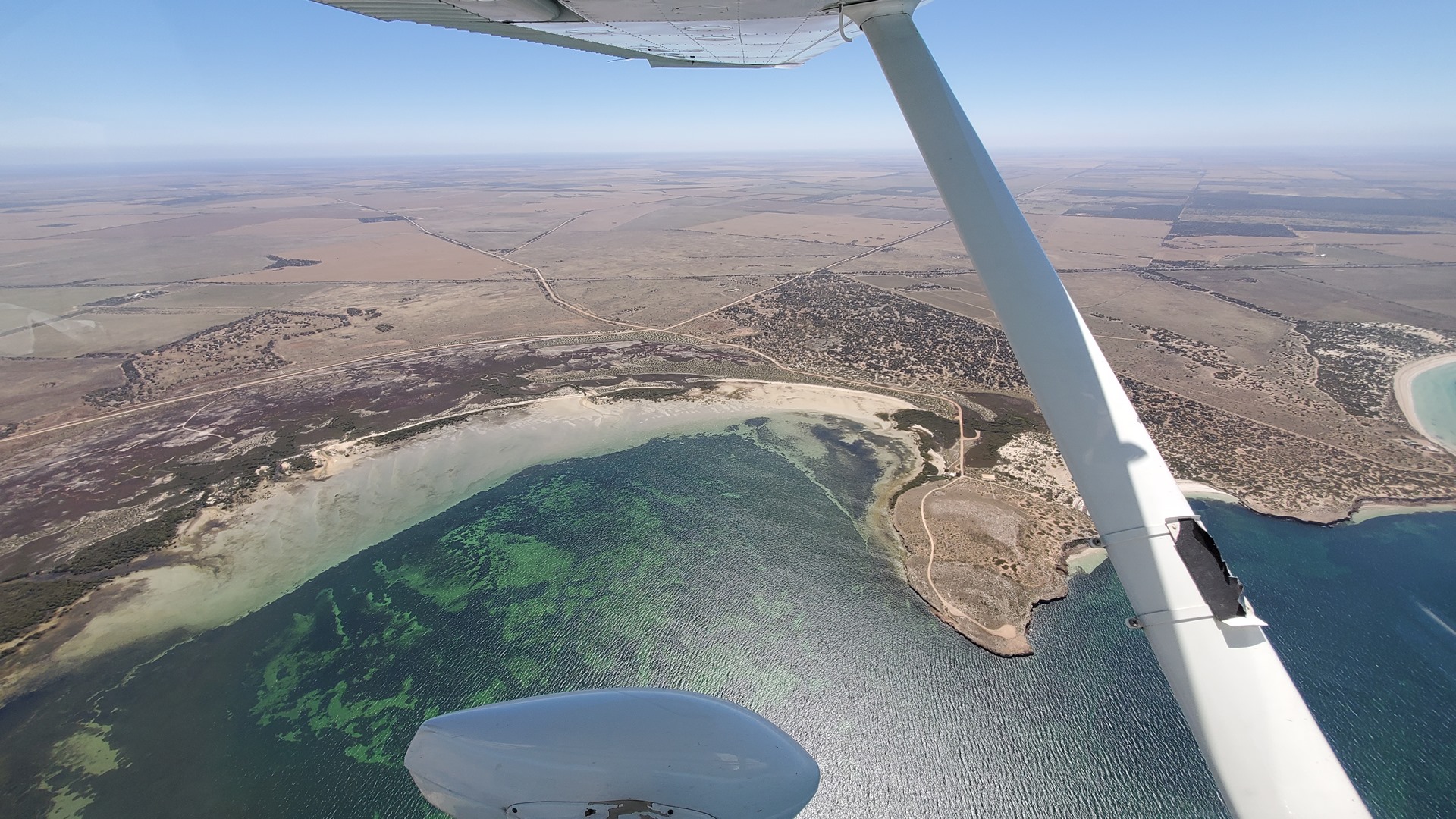
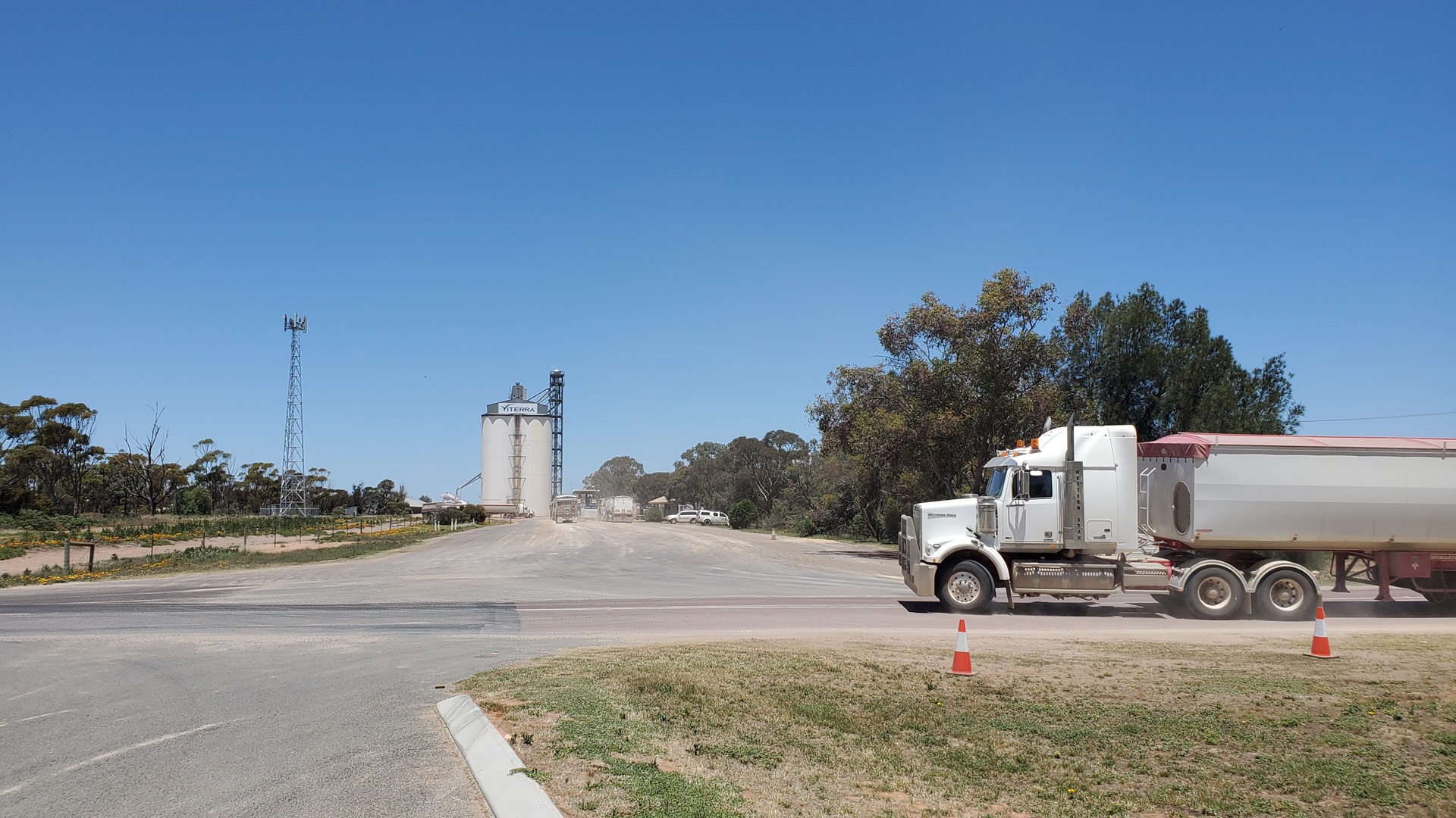
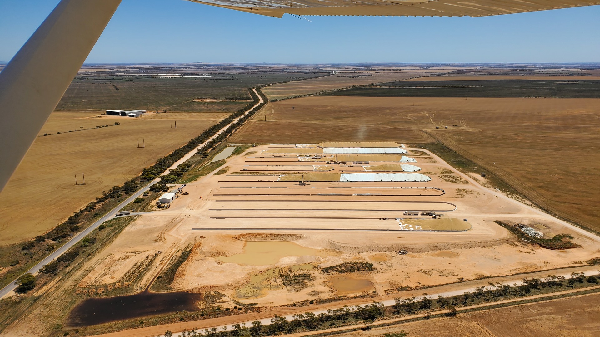
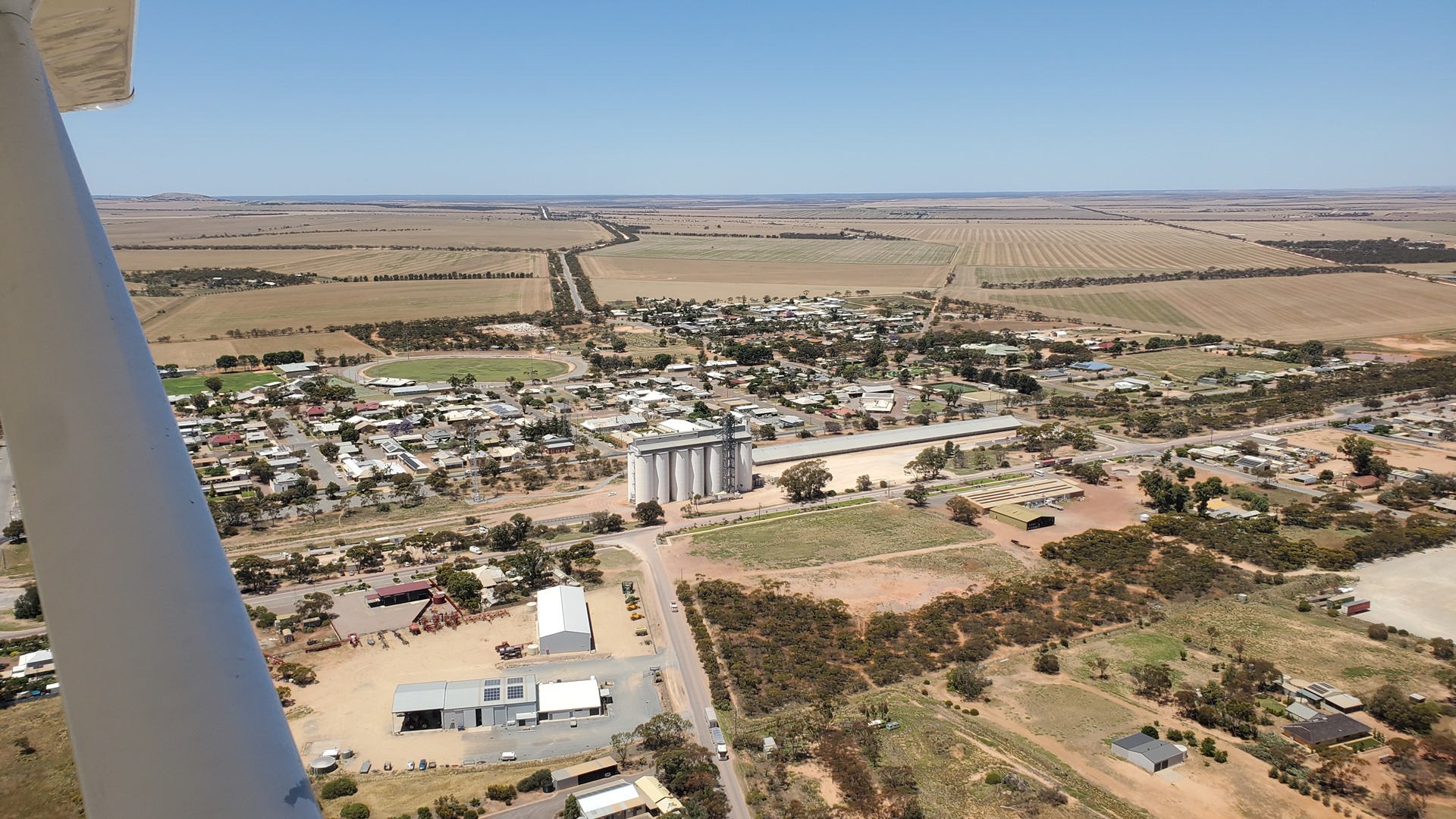
Continuing east past Stroky bay the countryside turned arable, with vast fields of cereal crops in the middle of being harvested. After quick touchdowns at Streaky Bay and Minnipa I set Planey down at the small farming town of Wudinna. This town offered lunch, fuel, and a “Big Thing” – the Big Australian Farmer. I parked at the fuel pumps and looked into the instructions; one had to phone the operator to receive a code and activate the machine. This I did; but nothing happened. We trouble-shot the equipment by phone for a while before concluding that the power was out. A new plan was formed; during the time it would take to walk into town to see the statue and have lunch, the fuel pump owner would arrange for an electrician to come out and hopefully fix things. Planey did have enough fuel in him to reach the next airport with Avgas – but only just.
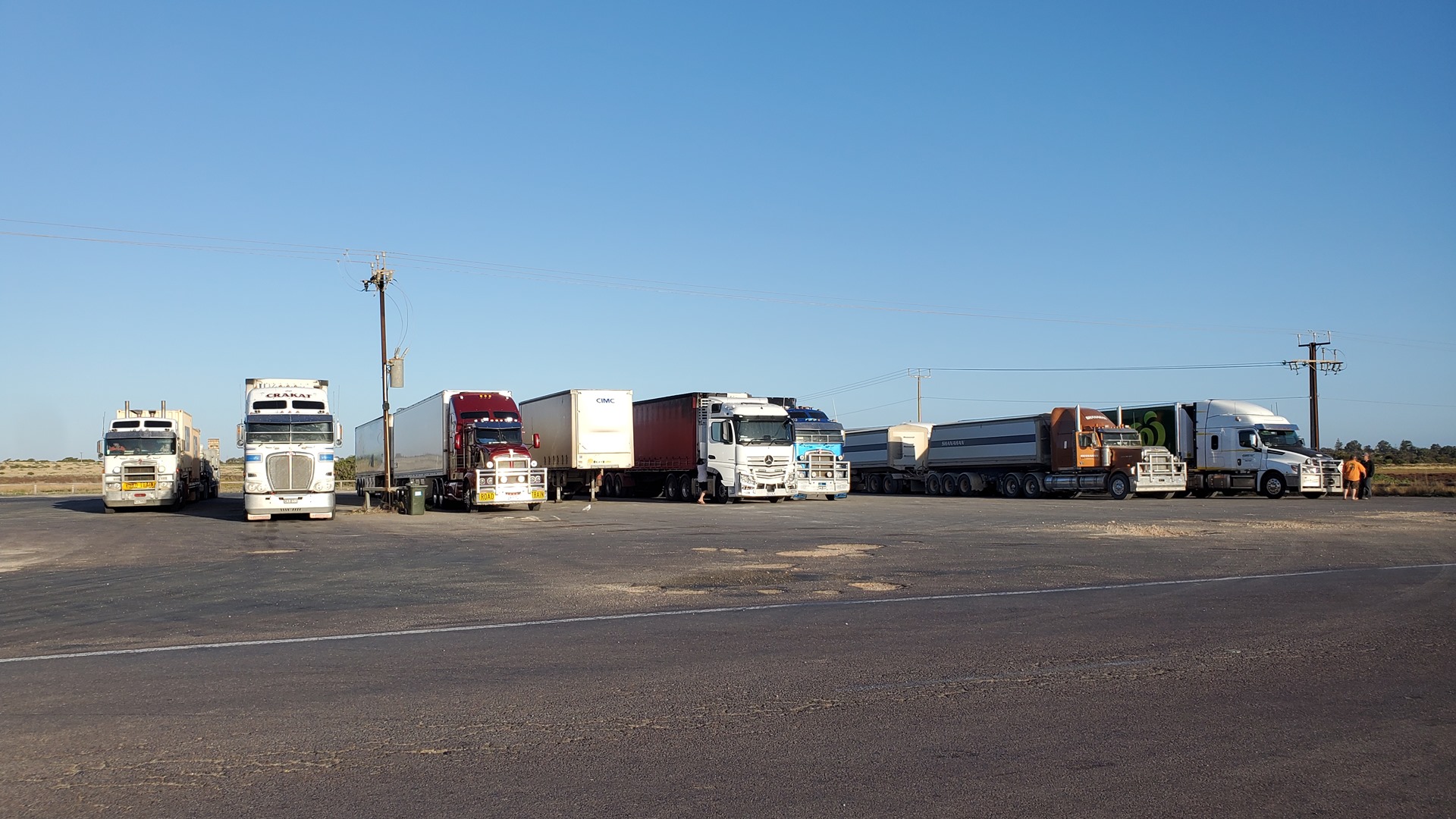
The walk into town took about 15 minutes along the main road, but there was plenty of space for pedestrians. A steady stream of heavy vehicles droned by; mostly trucks hauling grain from local farms to the town’s storage facility. Interspersed between these were the occasional passenger car and longer-distance road train. Just beyond the large grain silo lay the Big Australian Farmer.

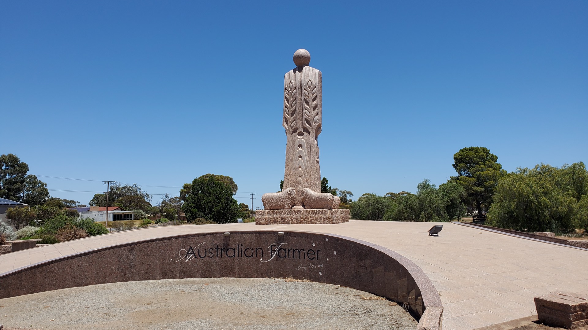
The Big Australian Farmer is sculpted from granite and stands 8m (26ft) tall, weighing in at around 70 tonnes. First proposed in 1992, it took 17 years to produce from initial proposal to the final unveiling in 2009. Two of those years were spent by the artist, Marijan Bekic, carving it. The stylised work of a farmer represents the early settlers of the region, with carvings symbolising grain and sheep found within the sculpture.
Just a couple of blocks away Google Maps was advertising a well-reviewed café; perfect for lunch before continuing. Upon arrival things did not look promising, as a crew of people were carrying kitchen equipment (such as an oven) out to a truck. They confirmed that the business had just been sold and had shut down for renewal. Fortunately there was a dairy just another couple of blocks in the direction of the airport which was still in business.
A sausage roll and a drink provided some much needed energy to continue the day. Walking back to the airport, what should be coming the other way but an electrician! This was a good sign. He pulled over and gave the verdict; the electrical panel controlling the pump had been full of ants. He had cleaned things out and the pump was now back in action. I filled up the wings, happy that I would not need to worry about reaching the next Avgas stop.
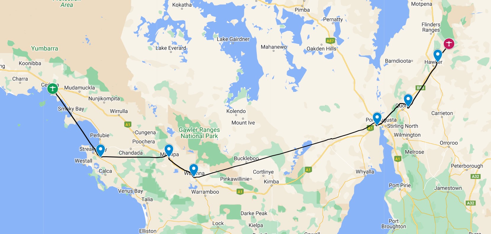
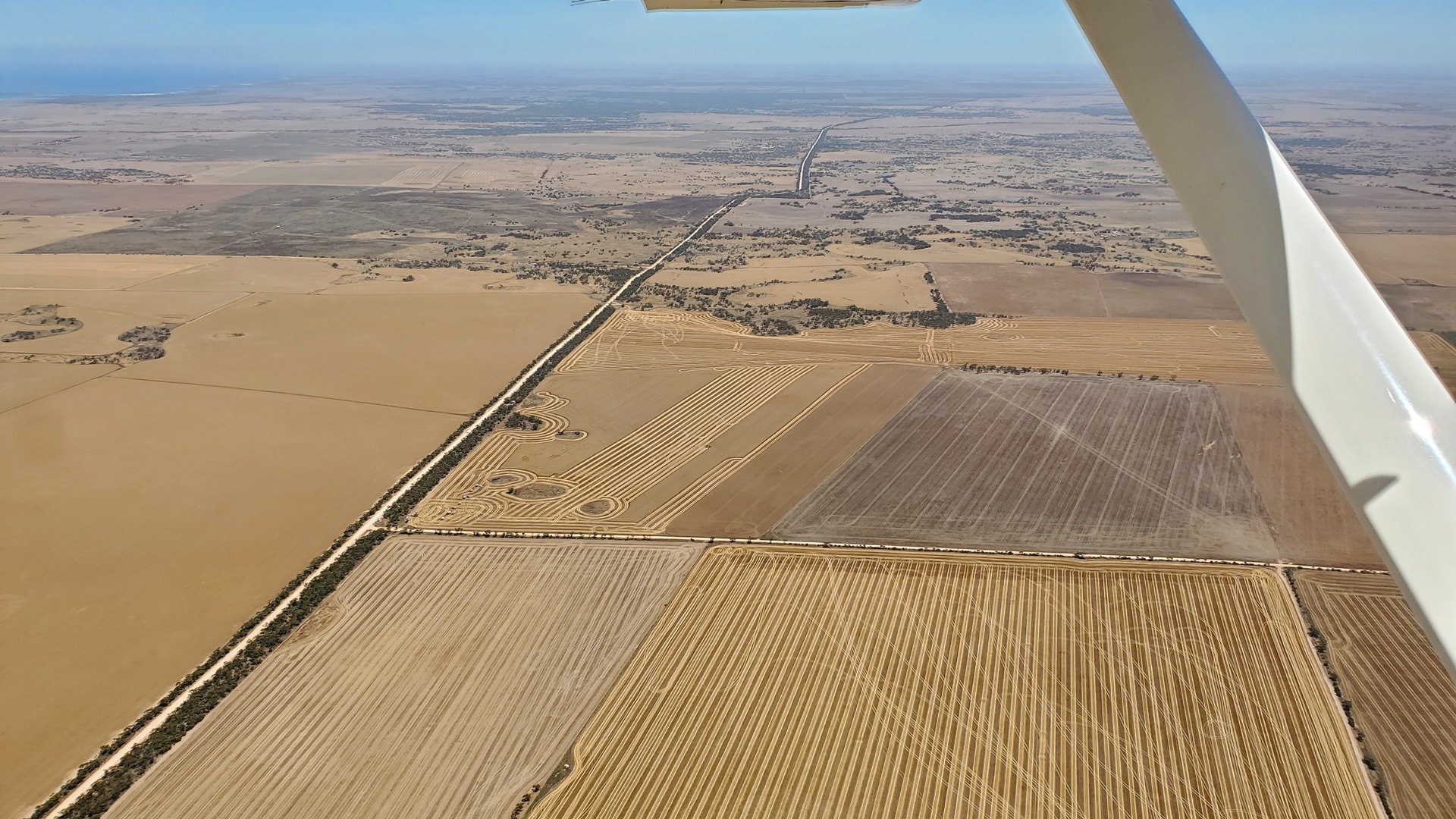
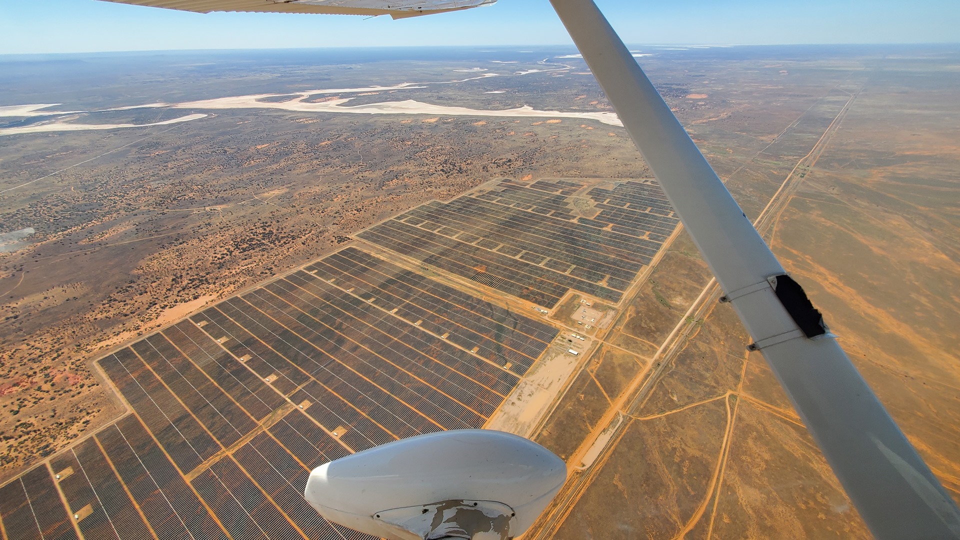
This next leg was a slightly longer one across the grain fields of South Australia towards Port Augusta. This town has a population of just under 13,000 and was originally proclaimed in the year 1852. These days the town economy is mainly driven by tourism, horticulture, and a large solar power project.
After Port Augusta we turned northeast and headed inland, loosely following the B83 highway. I took the chance to set Planey down on the small airstrips at the towns of Quorn and Hawker before approaching the final stop of the day, Rawnsley Park. On the southern face of Wilpena Pound, this homestead was settled as part of Arkaba Station in 1851.
The name Rawnsley comes from Rawnsley Bluff, the southern tip of the pound. This, in turn, was named after HC Rawnsley who arrived from England under false pretenses claiming to be a surveyor. Rawnsley spent three months supposedly surveying from Mt. Remarkable to Wilpena before he was recalled by the Colonial Government. Once can only imagine that they were unimpressed with his efforts.
Although I had called ahead to get permission to land, I had missed the section of the flight guide advising a phone-call shortly in advance of arrival to arrange a lift to the station. Apparently phone signal was not good on the ground. I noticed just in time and made the call from the circuit just before landing, and someone was duly dispatched. Another Cessna was landing just ahead, concluding a sight-seeing flight; there was a small commercial operation on the field with several aircraft.
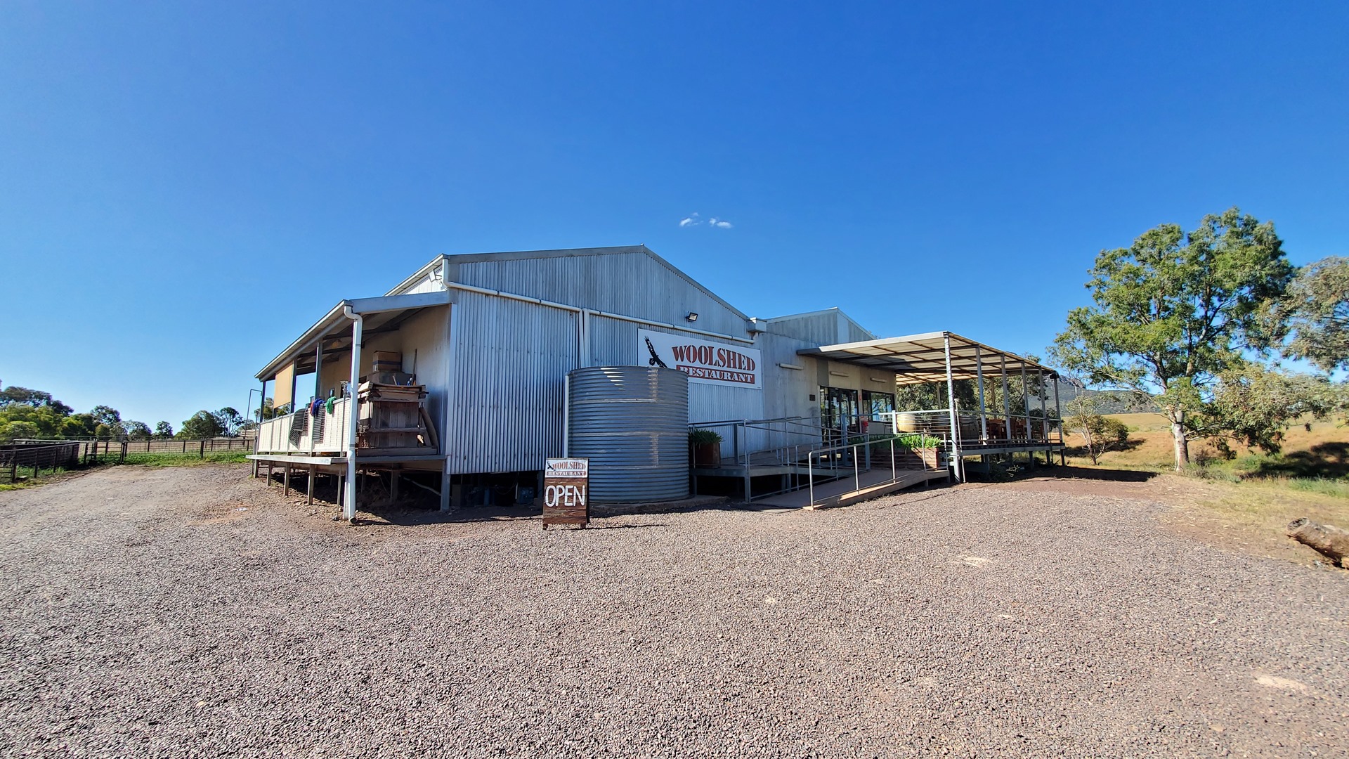
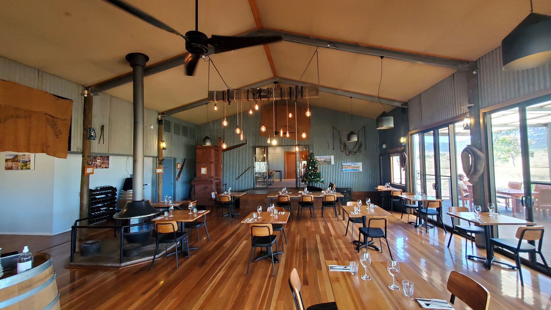
Before Planey was even secured a white Landcruiser pulled up, driven by a pleasant German man. The ride back to the station took just a few minutes. After checking in and dropping bags in the room I made a beeline for the Woolshed Restaurant and their wine terrace.
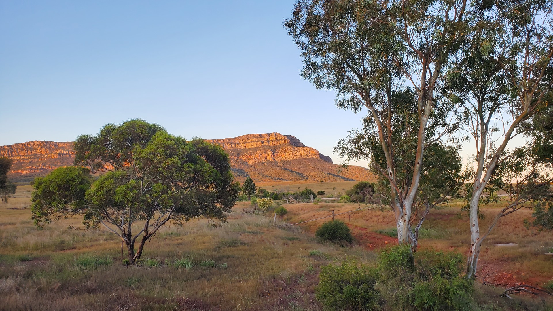
There were a pair of older couples sitting on the veranda. One was on a camping trip with their new caravan, and both had friendly dogs to pet. We sat and chatted as the sunset drew in, watching the light change across the rock face opposite, and emus drinking at the nearby water hole. After a great dinner of kangaroo steak it was off to bed for me.
After an excellent night’s sleep the lovely German man provided a lift back to the airfield. Before leaving, however, I took the chance to snap a photograph of the scenic flight routes which was on display in reception. This would give inspiration for the first part of the day’s flying, north through the Flinders Ranges.
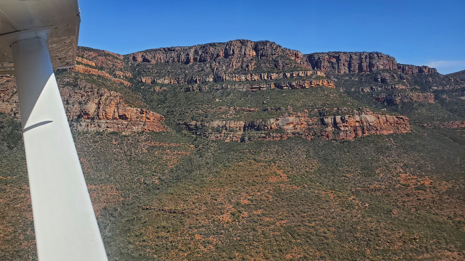
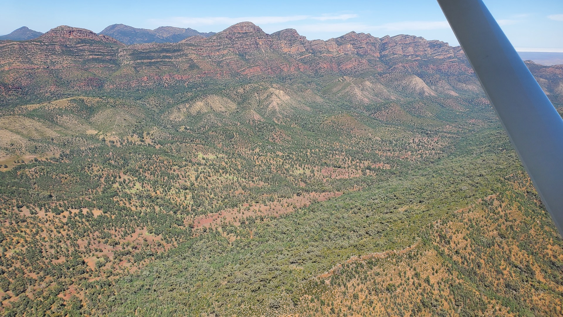
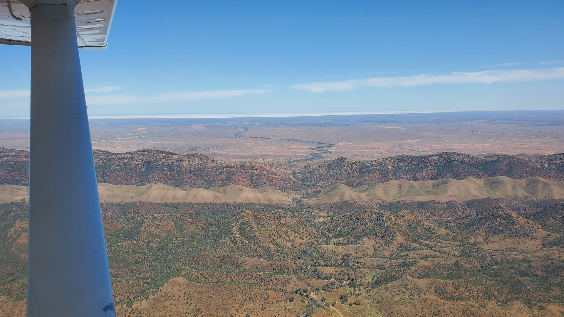

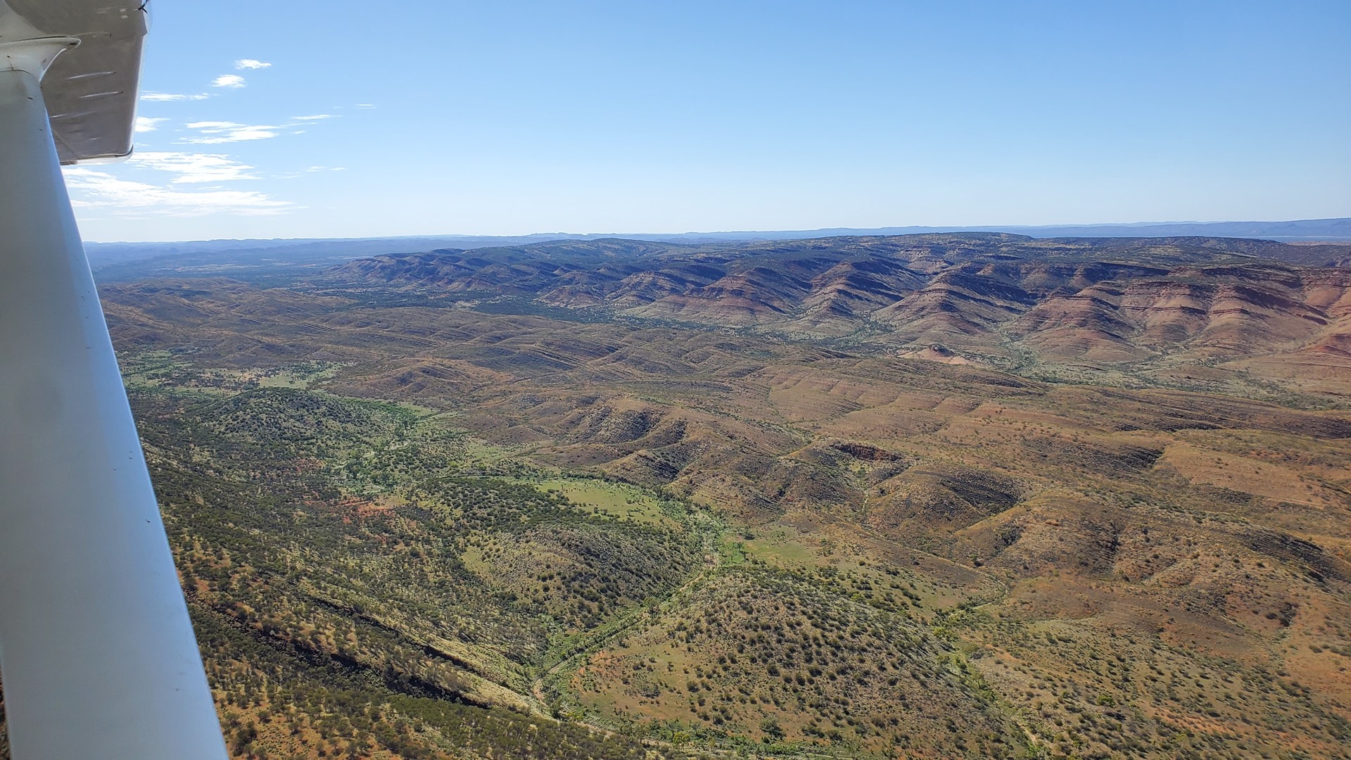
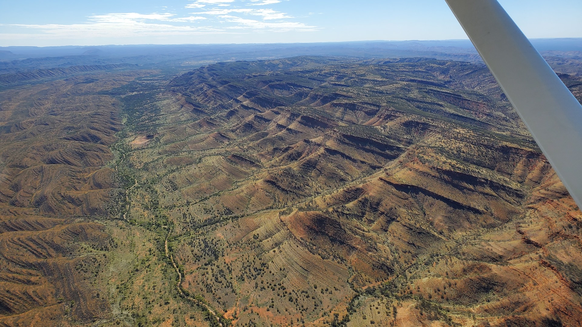
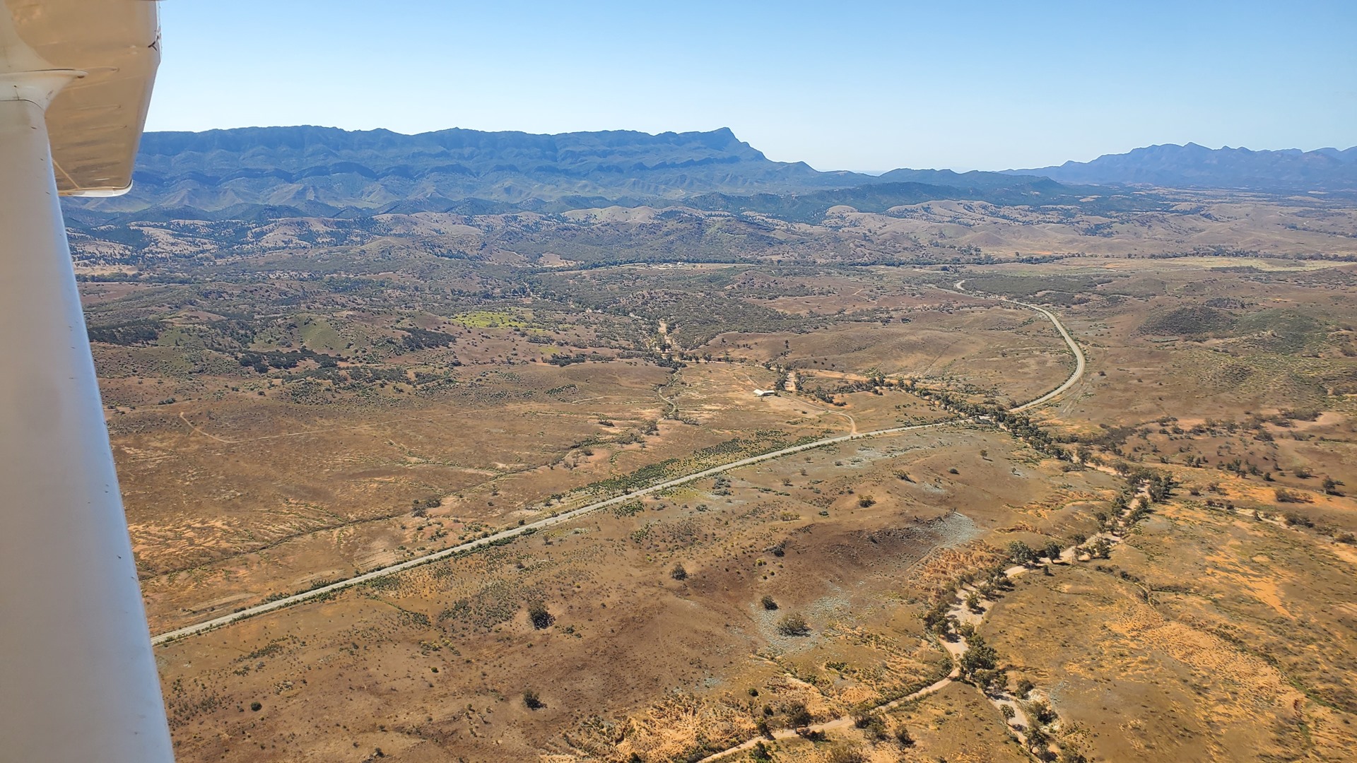
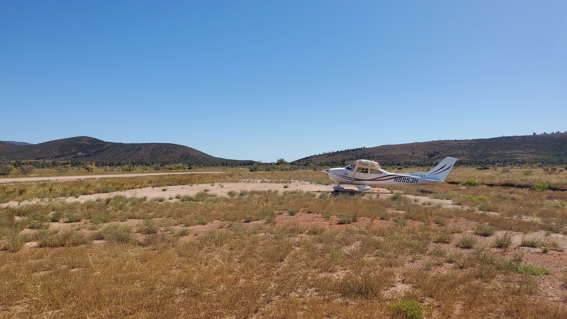
We set out north through the ranges enjoying the stunning views. From the dramatic layering of the rocks it was easy to see why this is such an historic spot for geologists. Towards the northern end lies the town of Blinman where the local racetrack shares a site with the town airstrip. When not in use it seemed that the area was used to graze sheep. My experience of landing on livestock-occupied strips in New Zealand stood me in good stead and it was easy to conduct a brief stop without sending any wool flying. From here we pointed the nose east and set back out into the desert. Next stop: Broken Hill.
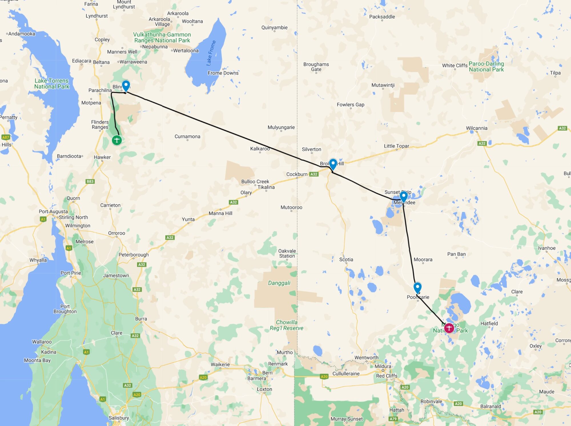
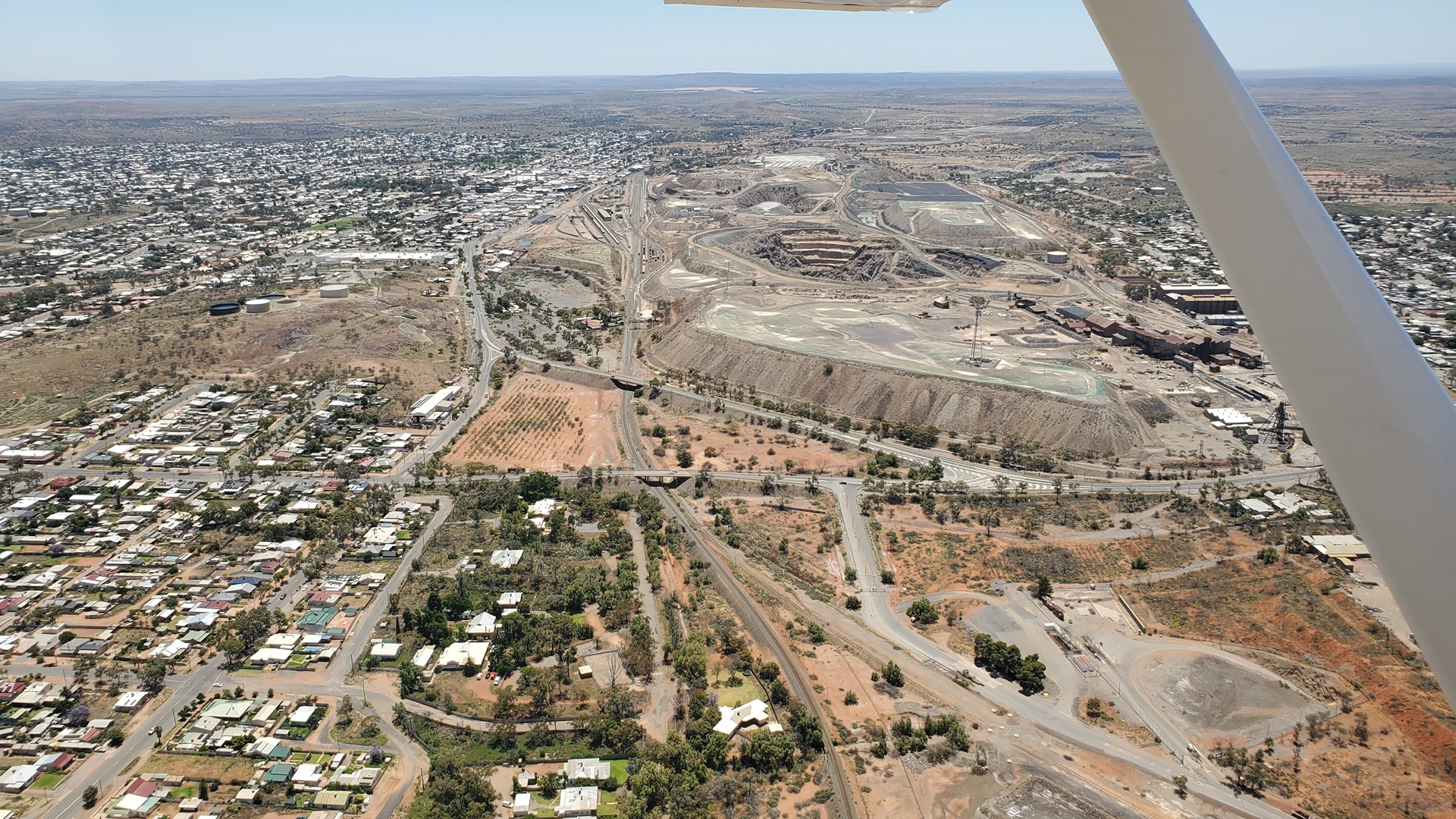
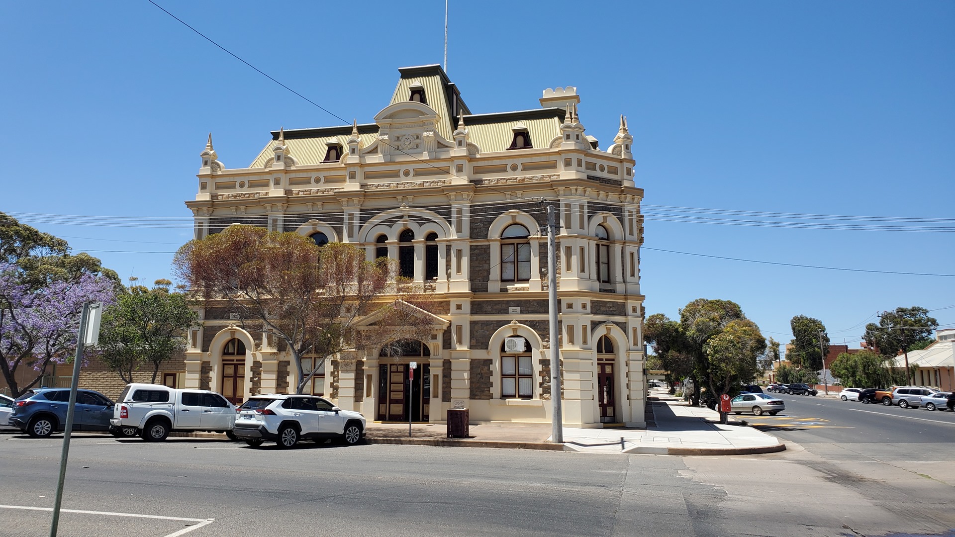
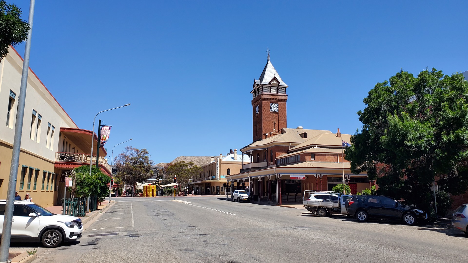
Broken Hill was founded in 1883 after the discovery of silver and lead ores in the region; these turned out to be the largest and richest deposits of the type anywhere in the world to date. It has been a mining-focused town ever since. Charles Rasp, who discovered the ore, founded the Broken Hill Proprietary Company, which later became the famous BHP, in order to exploit the discovery.
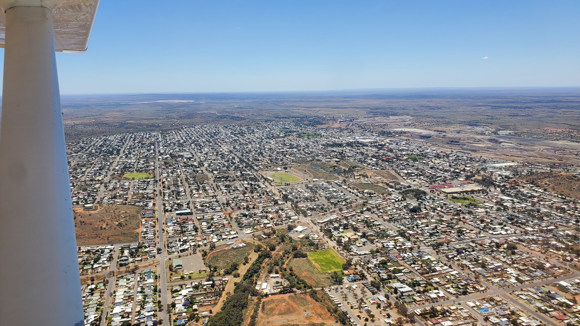
Once the third largest city in New South Wales, the population of the city has declined since its’ heyday in the 1930s from 30,000 to a contemporary number of around 17,000. Most importantly it is the home of the “Big Ant”, hence my interest!
After parking Planey up in the General Aviation area I headed around to the terminal building to see about transport into the city. It quickly became clear that not much in the way of taxis were available so I spoke to a car rental guy. He offered me a “dirty Toyota” for the sum of $150 which I gracefully declined. A tour bus driver didn’t offer the hoped-for lift, but did suggest the “Outback Ooba” service. Sadly they were not in operation that day.
Instead the plan changed to grabbing lunch at the airport café. Just after sitting down with drinks and paninis, though, a taxi pulled in! I thought this might be the taxi I had called about 45 minutes earlier but it turned out that it was a driver from the other company in town. He was happy for a fare anyway so off we went to the Big Ant.
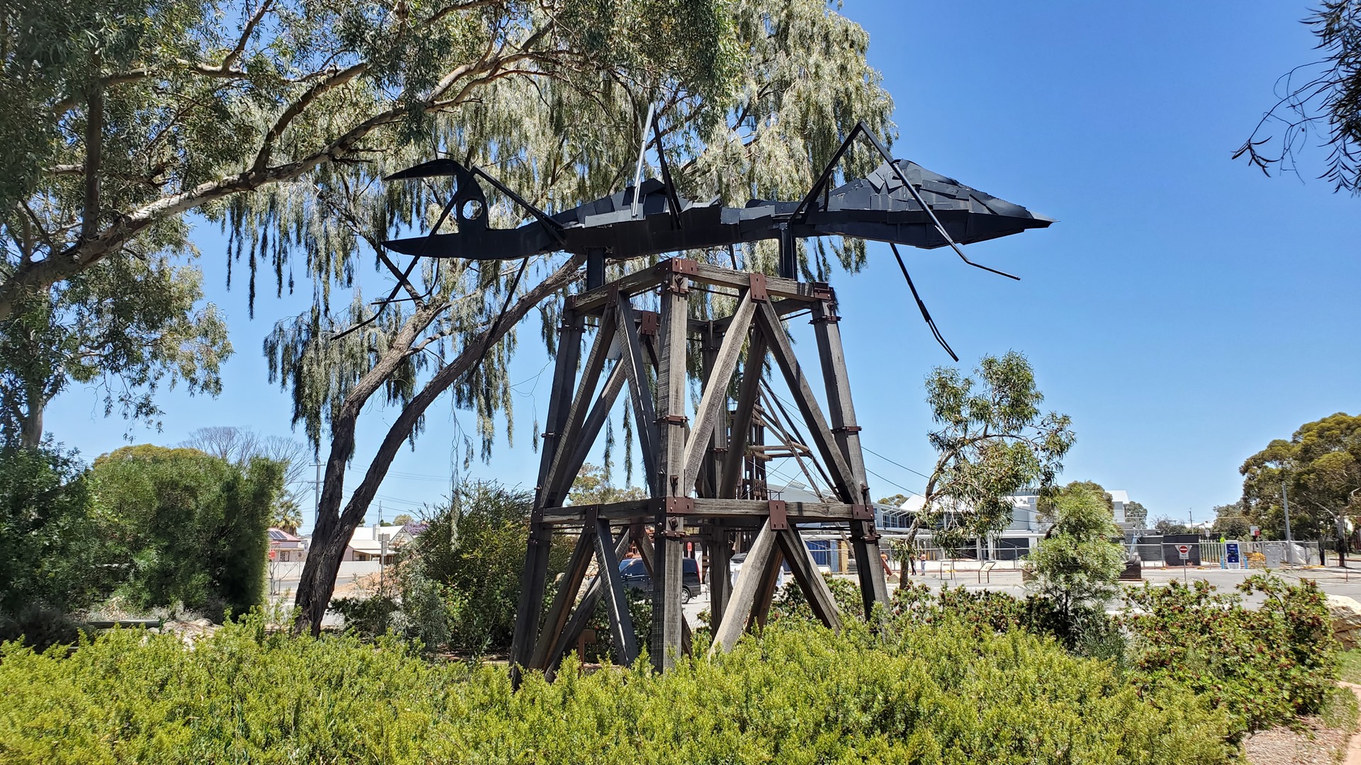
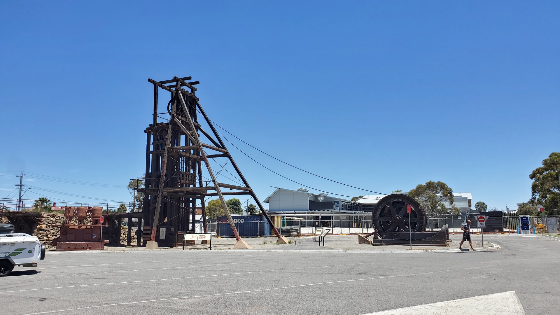
The Ant is one of the older Big Things, having been constructed in 1980. It was donated to the city in 1990 after which it was moved to its present position by the tourist information center. It sits alongside a display of old mining infrastructure from the nearby Central Mine. The most striking item was the headframe from the Kintore Shaft; this large structure stood over the shaft and allowed the raising and lowering of equipment and men in and out of the mine.
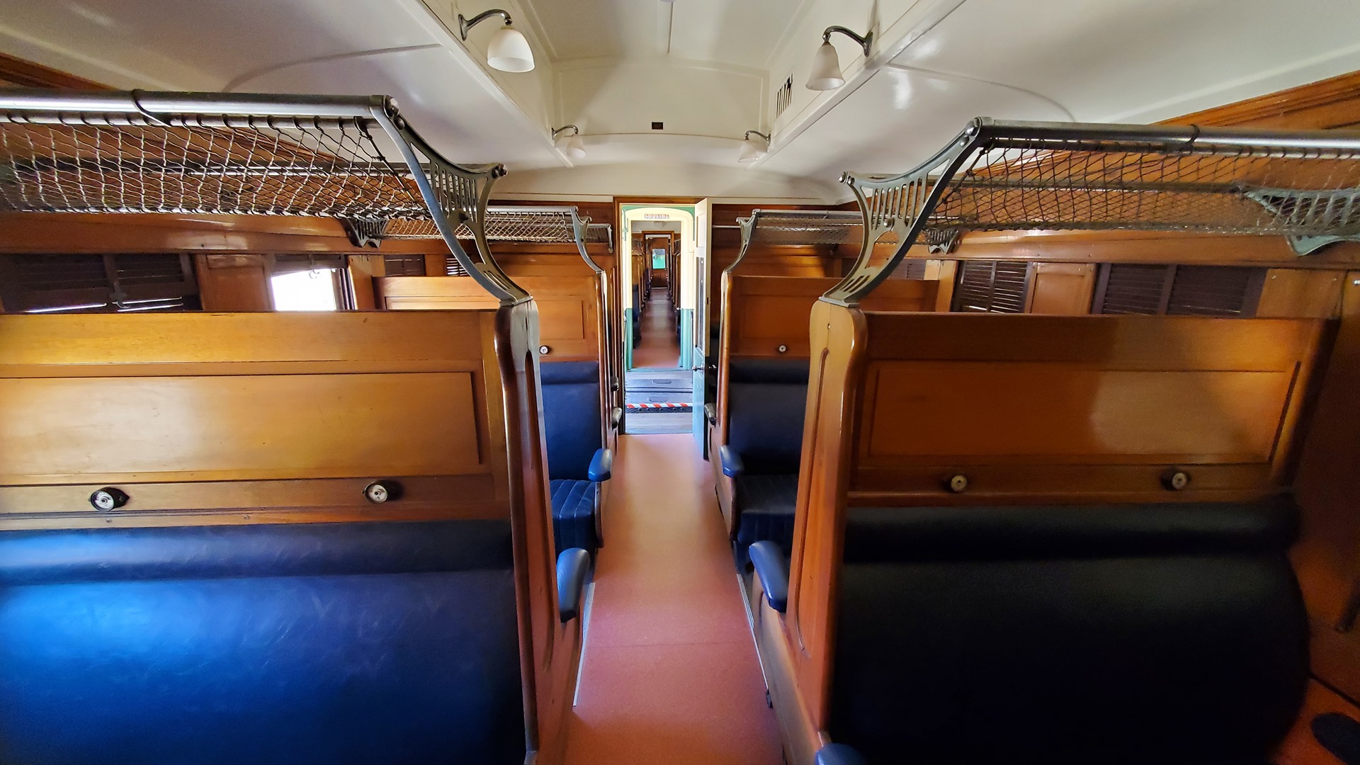
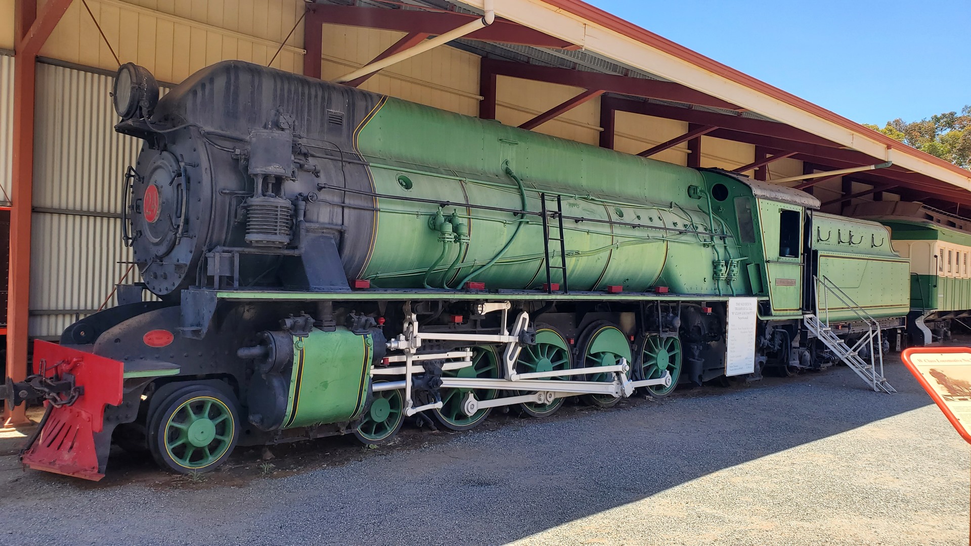
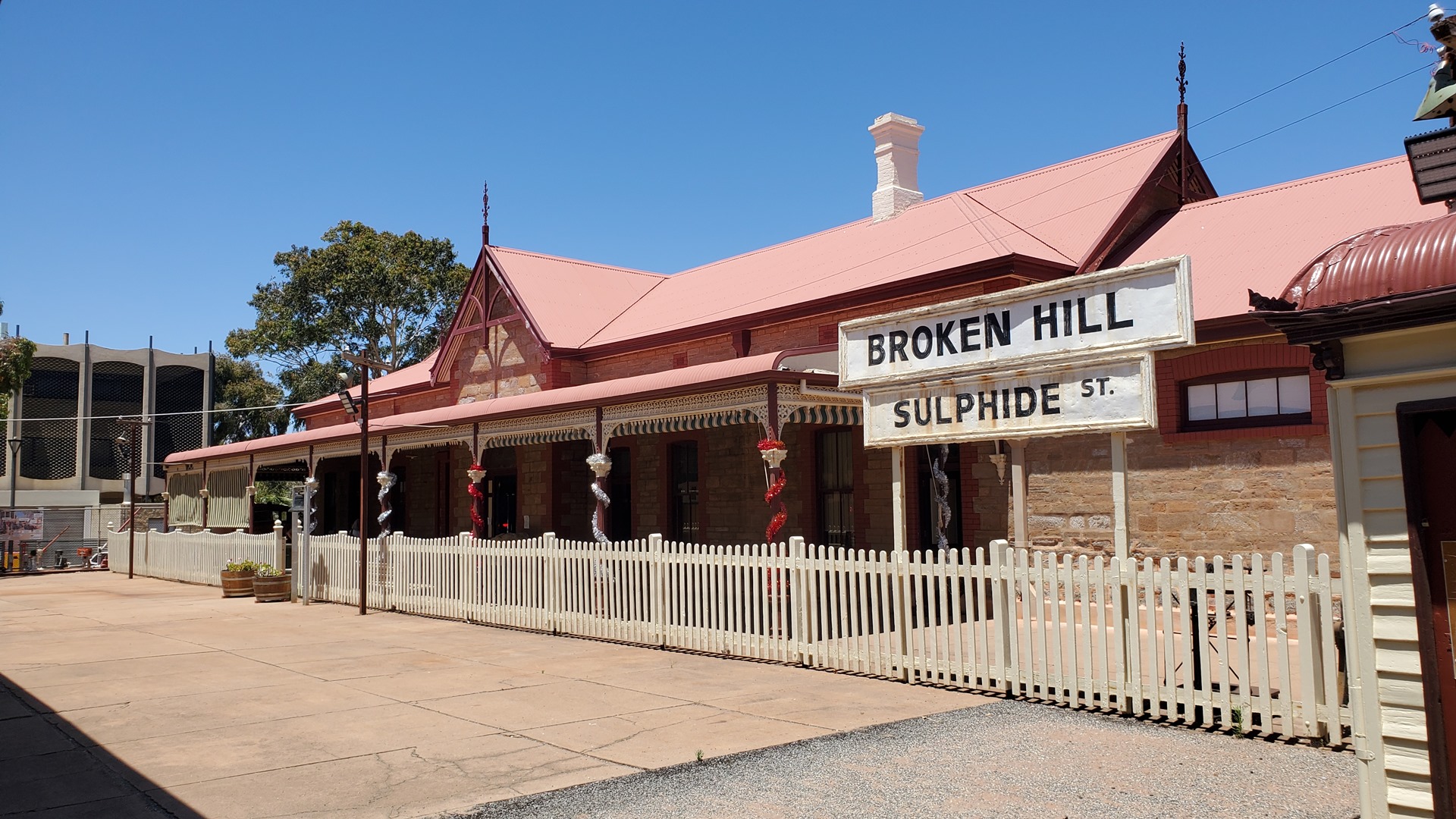
The taxi driver had recommended a visit to another Big Thing; the Big Picture. This is hosted in an art gallery a few blocks from the tourist information center. Between the two is the Sulphide Street Railway & Historical Museum which seemed worth a visit. Housed inside the old Sulphide Street railway station, this museum features a number of old locomotives and railcars as well as other historical Broken Hill stories, such as those of the many migrants who ended up here over the years. It also hosted a gallery all about hospital treatment and equipment; this made me very grateful that I never had to submit myself to 19th century medicine.
A couple of blocks further along was the Silver City Mint and Art Centre, home of the Big Picture. Painted on a canvas 100m long and 12m high, this features 100,000 saltbush, 20,000 trees, 20,000 small stones, 1000 large stones, 3000 clouds, 1500 hills and 12 sculptures. Self-taught local artist Ando completed the piece in just 2 years.
The taxi driver had given me his card, and so I gave him a call for a ride back to the airport. It was now time to head south away from the desert again and back into slightly greener country. This next part of the country had in fact been inundated with rains in recent weeks, with rivers bursting their banks and historic flooding in places.
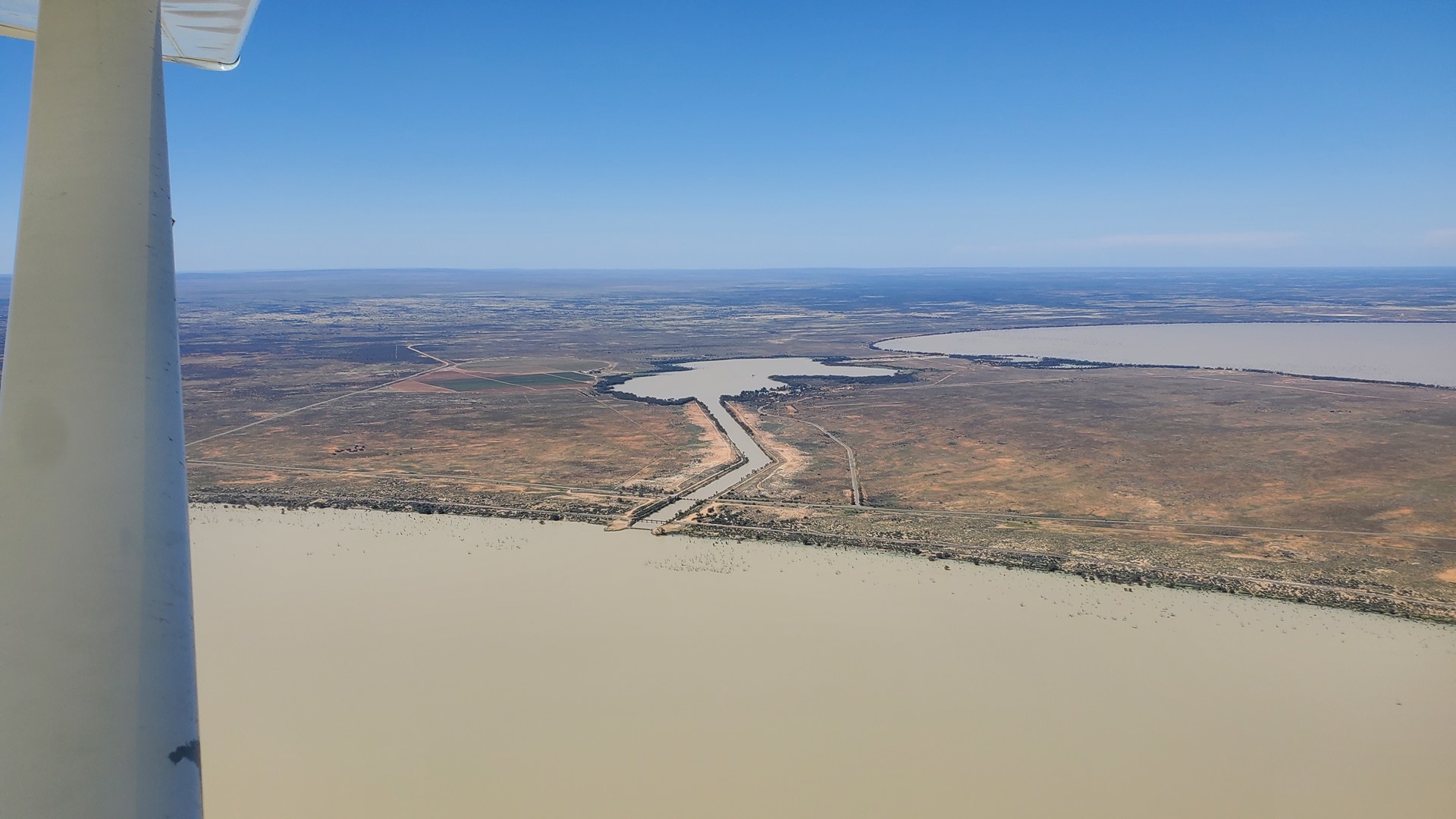
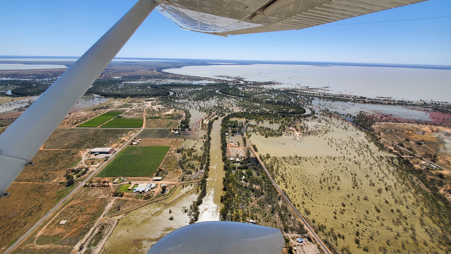
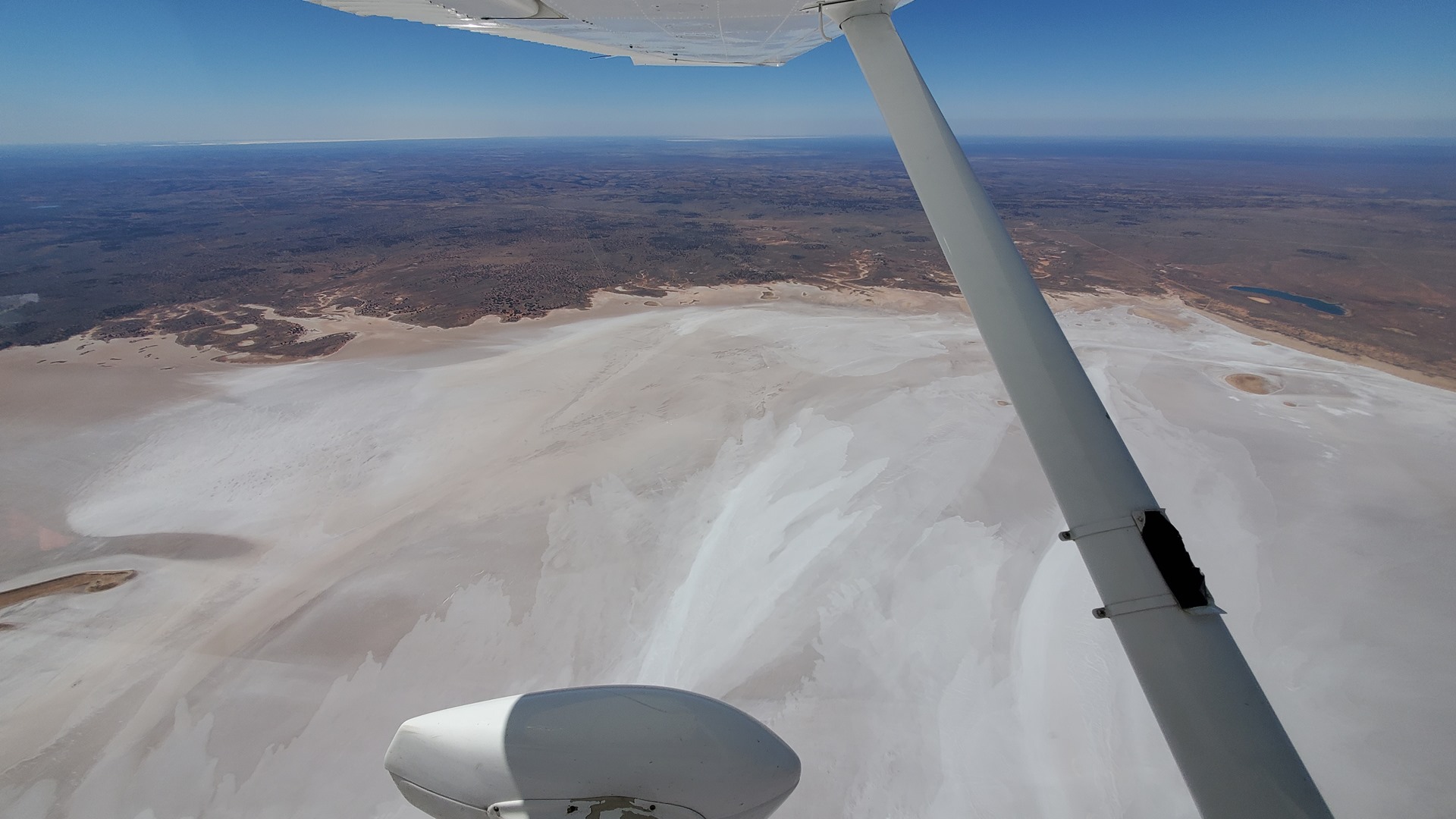
Approaching the first stop at Menindee the impact of this wet weather was plain to see. The Menindee lakes were full to the brim, and indeed spilling out on the southern side into the surrounding fields and countryside. Most buildings had clearly been built with flooding in mind and were perched on little pieces of higher ground, although the magnitude of this particular event had clearly overwhelmed a few of them.
Continuing south, it wasn’t long before the night stop of Mungo Lodge came into view. This sits on the edge of Mungo National Park, and conveniently has its own airstrip. This 275,000 acre park is renowned for its sand dunes and has a long history, with the remains of the oldest known human to have been found in Australia coming from the park.
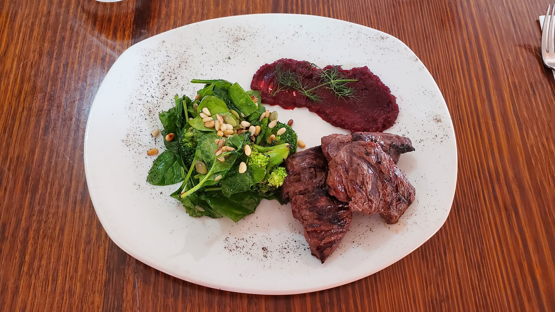
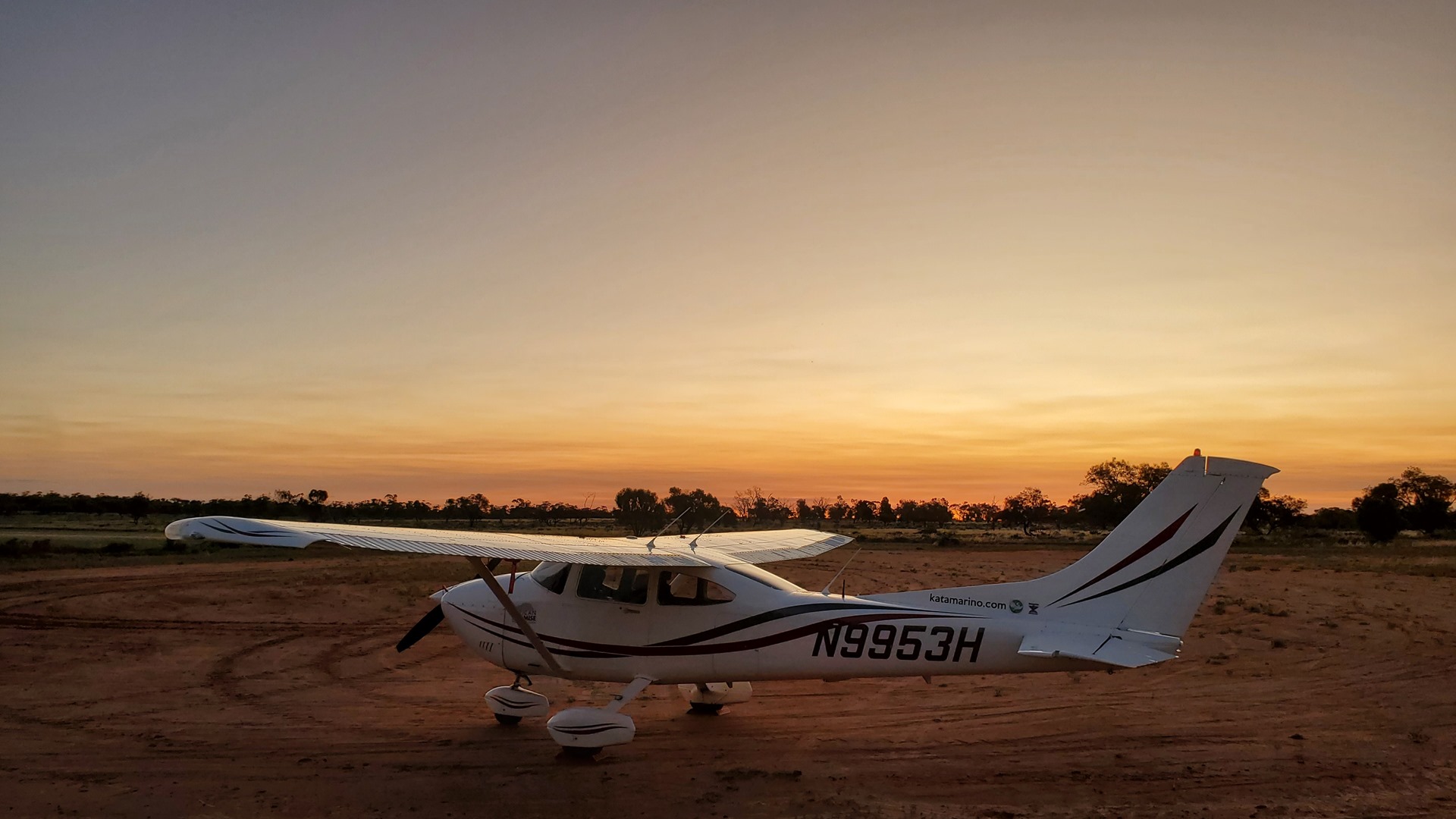
Sadly on this occasion there wasn’t time for one of the lodge’s guided tours into the park. The evening involved another great meal of kangaroo, some excellent wine, and beautiful views over Planey as the sun sank behind the horizon.
Click here to read the next part of the story.