Round the World – New Zealand 2, Part 6
It had been a great pleasure to see more of New Zealand from the air; but, you miss a lot when travelling by aircraft as it’s not practical to just pull over and stop! The complete lack of tourists (caused by New Zealand’s borders being slammed shut) meant that the cost of car and camper van rental was at an all time low, so I acquired a small camper van for a few weeks in order to explore some of the South Island at ground level. This being a flying website, I will not delve into this time in great detail, but in this section I will cover it briefly; as well as a couple of days during this time when I stopped back at the airfield and took Planey for a flight, including to the astonishing Milford Sound.
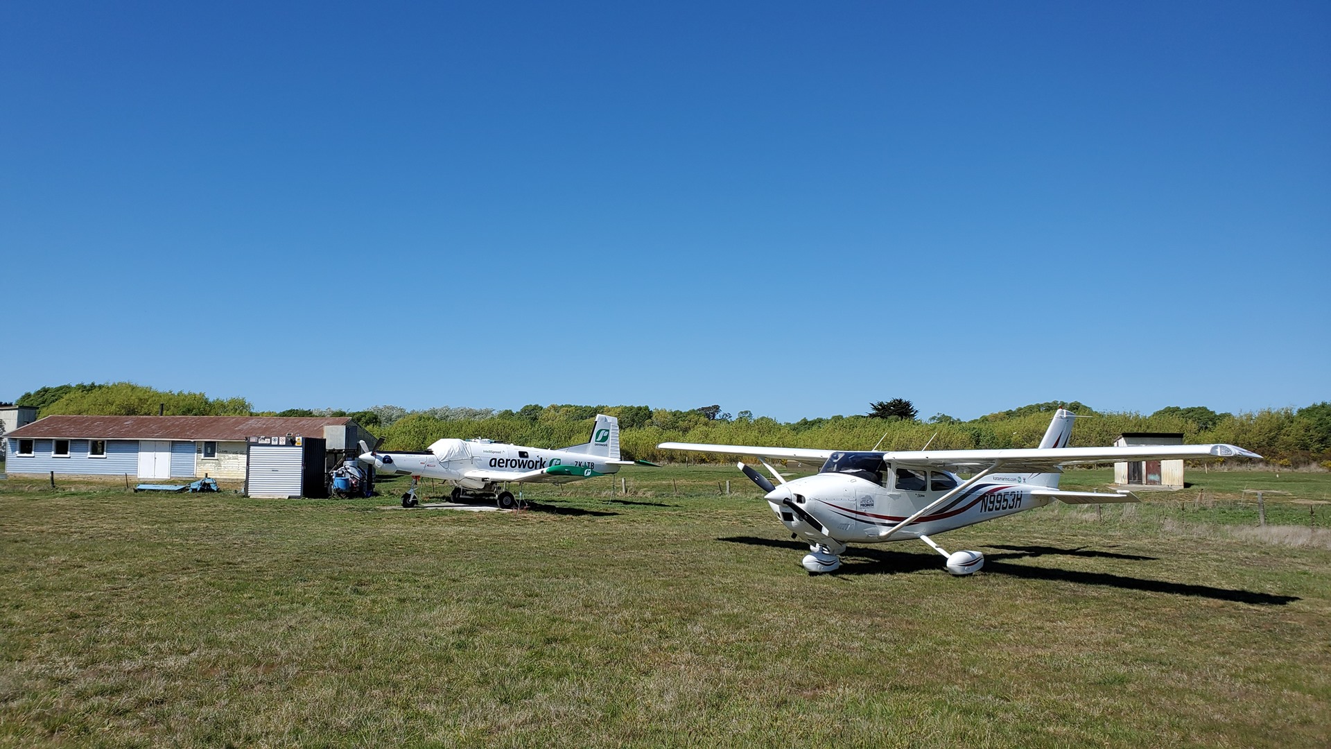
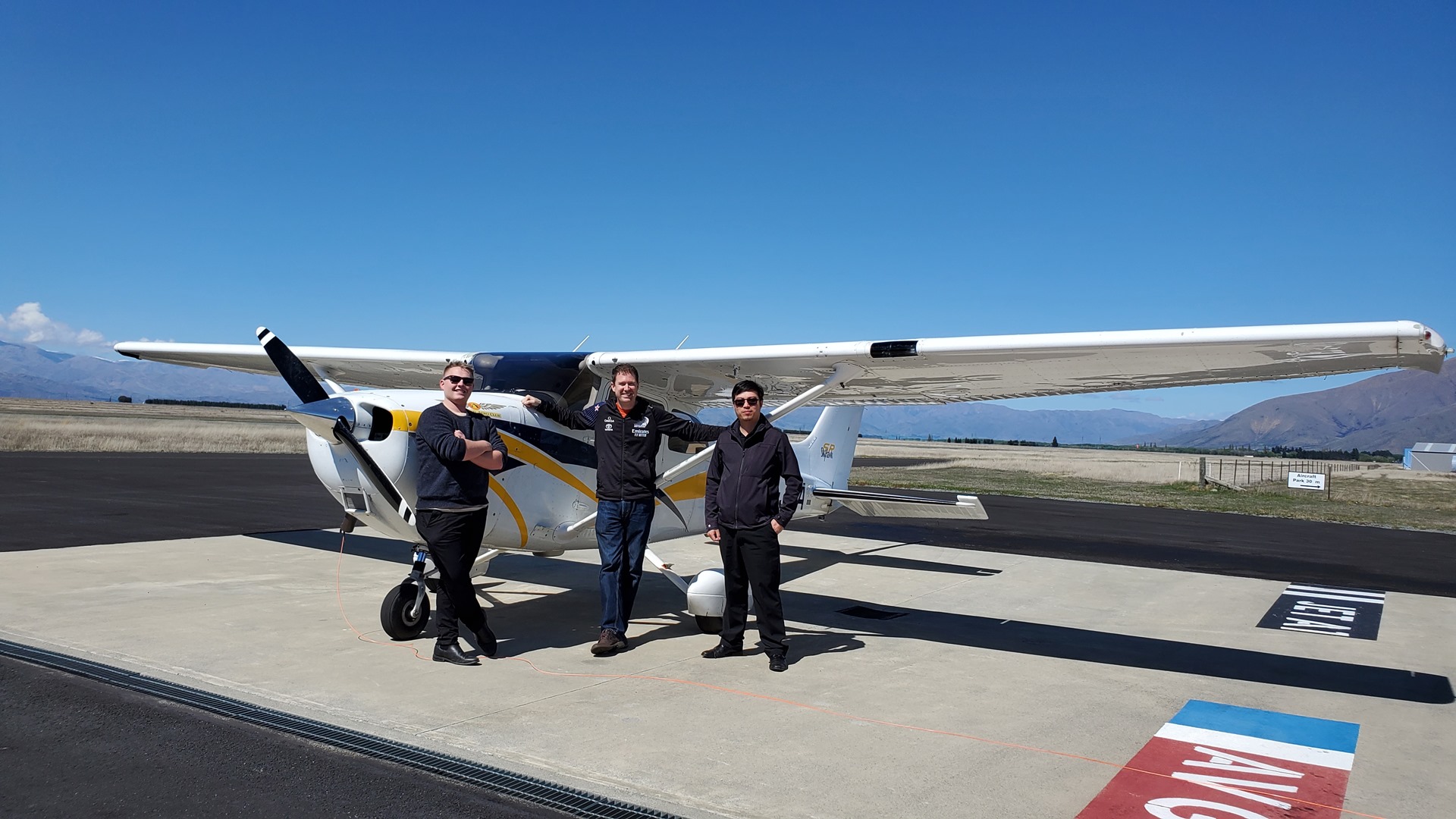
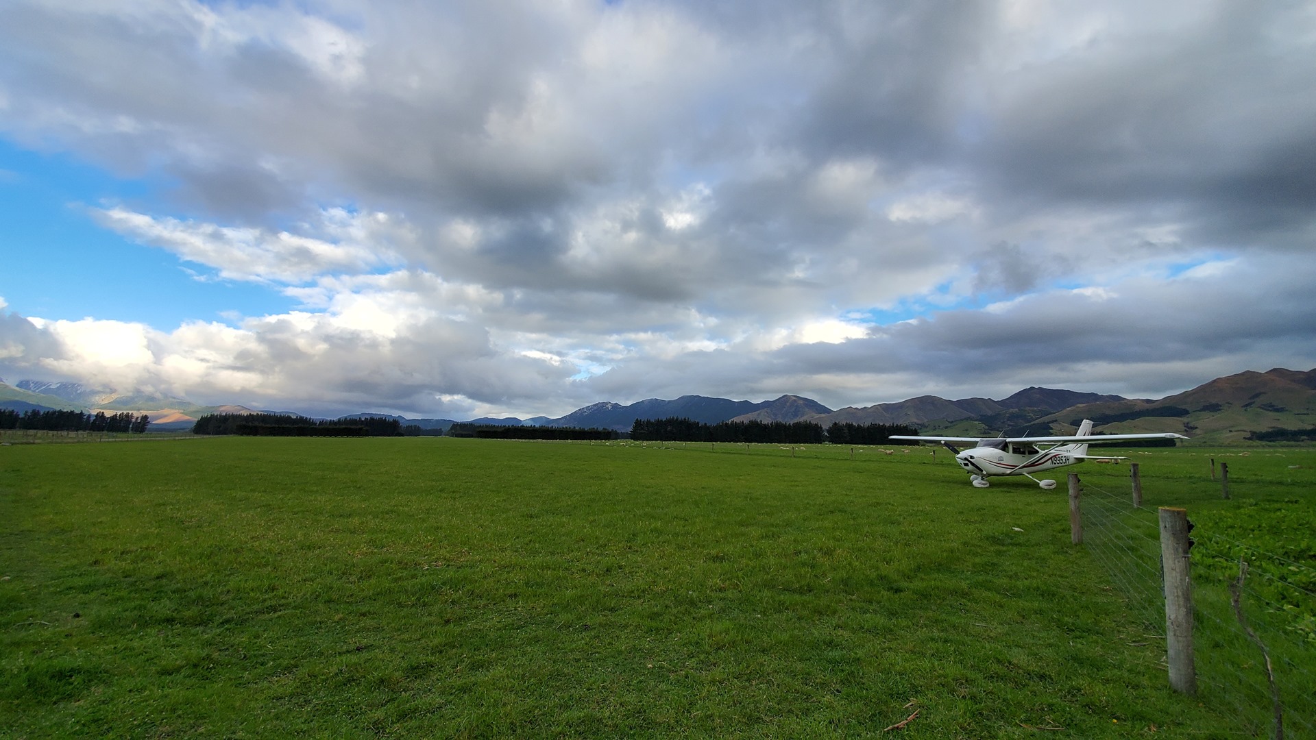
Bruce and Rae, at Barradale airstrip, had kindly offered to host Planey for me while I was driving around, so my trip started off with a flight down from Nelson to their strip near Christchurch. Weather conditions were marginal; ceilings were lower than the mountain tops, so I was forced to sit in the cloud for a lot of the journey. Temperatures dropped as I flew south, and near the end of the trip I started to pick up a little ice on the wings and struts. I was past the mountains by now, and a gentle descent soon took me into warmer air and allowed the ice to melt off.


Bruce met me at Barradale and led me around to the east side of a large hedge to park the aircraft. Here it’d be sheltered from the prevailing winds, and securely tied down with the stakes and ropes that he provided. I could go on my way without worrying! Bruce dropped me off at the rental van office, and I started my adventures at 0ft altitude.
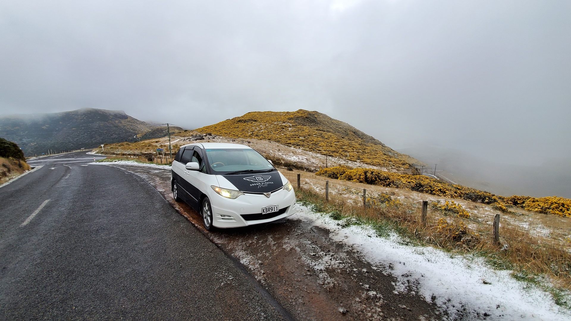
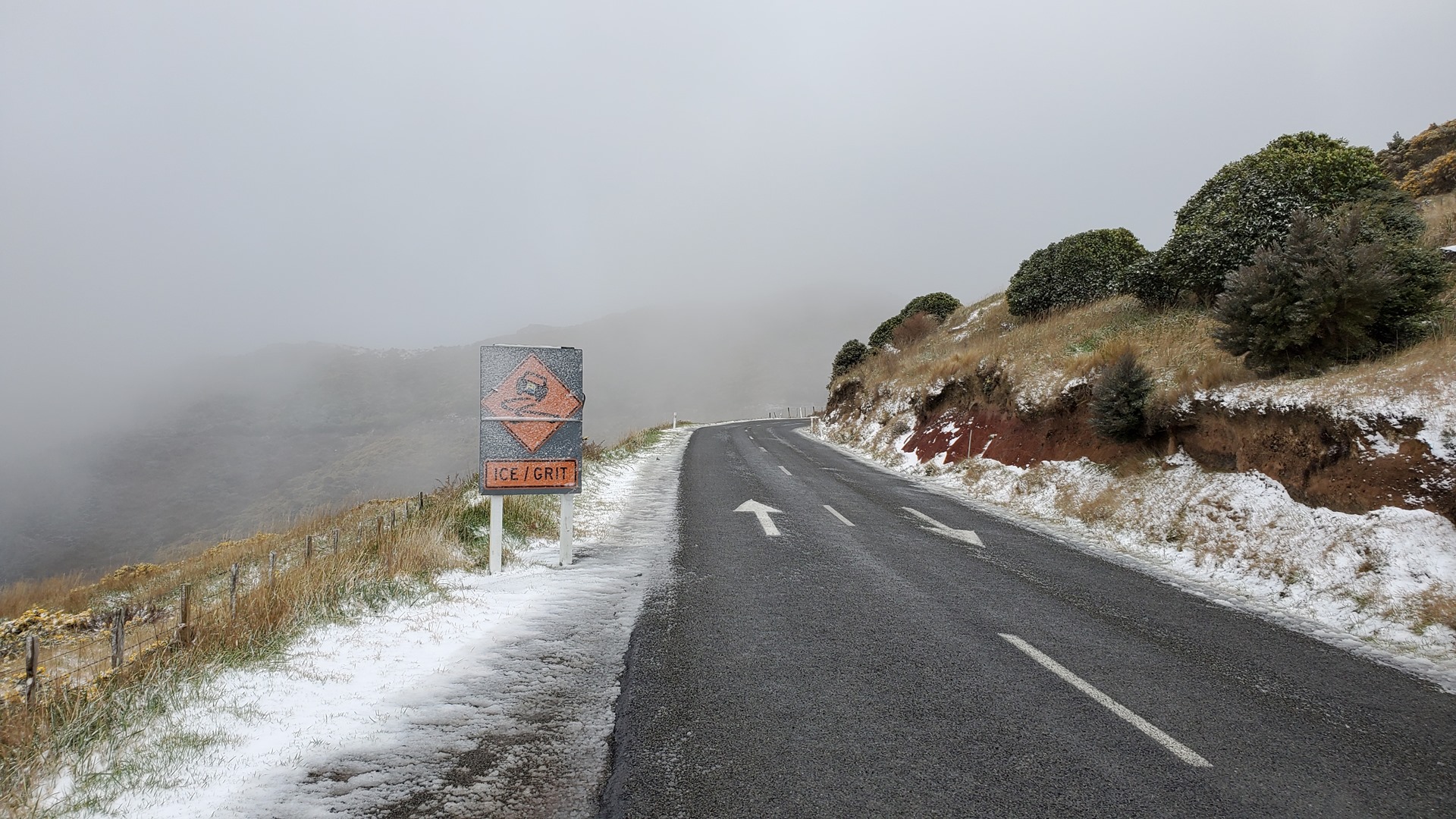
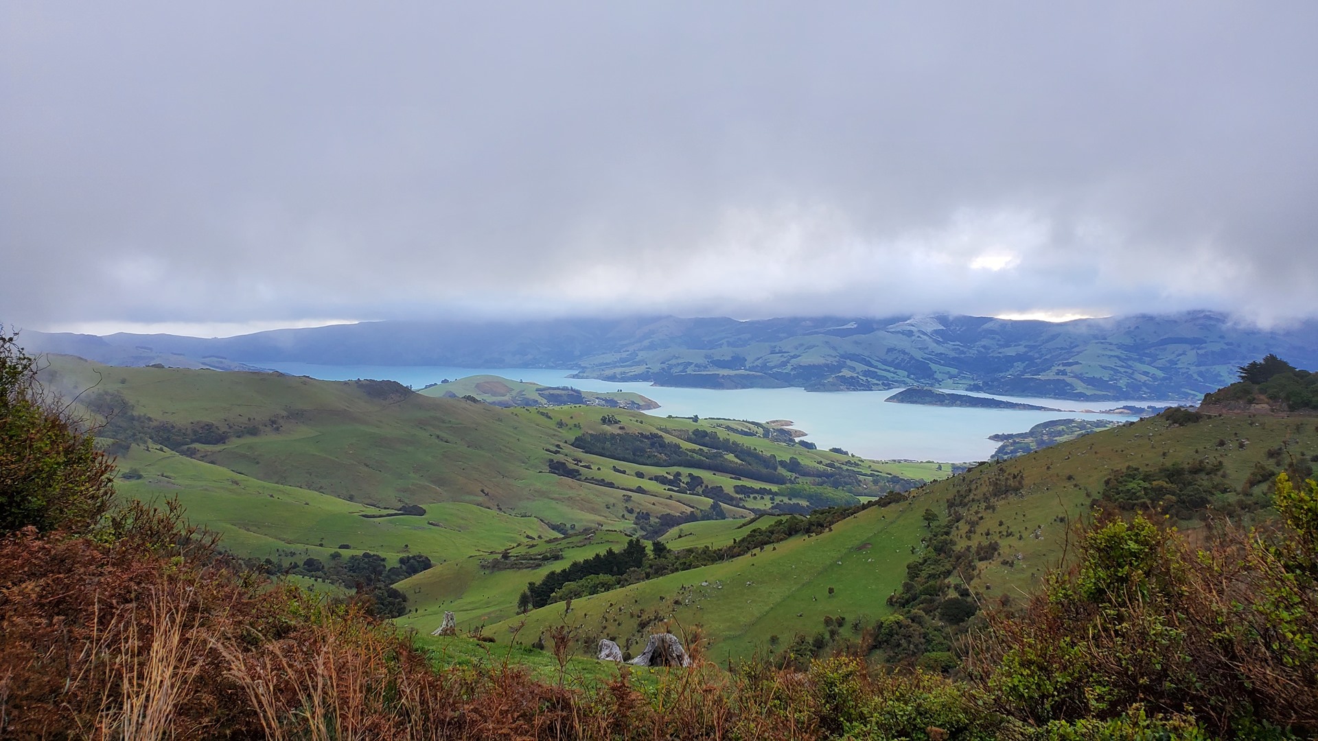
My first few days took me out onto the Banks Peninsula, where I caught a late blast of winter and spent a night in the snow. I then drove north, up the east coast highway through Kaikoura, camping just north of there and meeting Ann from Germany, travelling together with a French hitchhiker. We spent the evening by the Puhi Puhi river, huddled around a roaring fire as I tried to dry out my shoes after having fallen in the river while collecting wood, and cooking a delicious meal.


I continued up the coast, through Blenheim and around the coast to Picton. Here I stopped to view the remnants of the Edwin Fox, the world’s second oldest surviving merchant sailing ship, and the only surviving ship that transported convicts to Australia. The ship was constructed from teak in Calcutta in 1853. In her career she carried troops in the Crimean war, convicts to Australia, and colonists for New Zealand, before becoming a freezer hulk and eventually coal storage hulk. She was finally abandoned in 1950, before being purchased by the Edwin Fox Society in 1965 for one shilling. She is now on display in Picton.


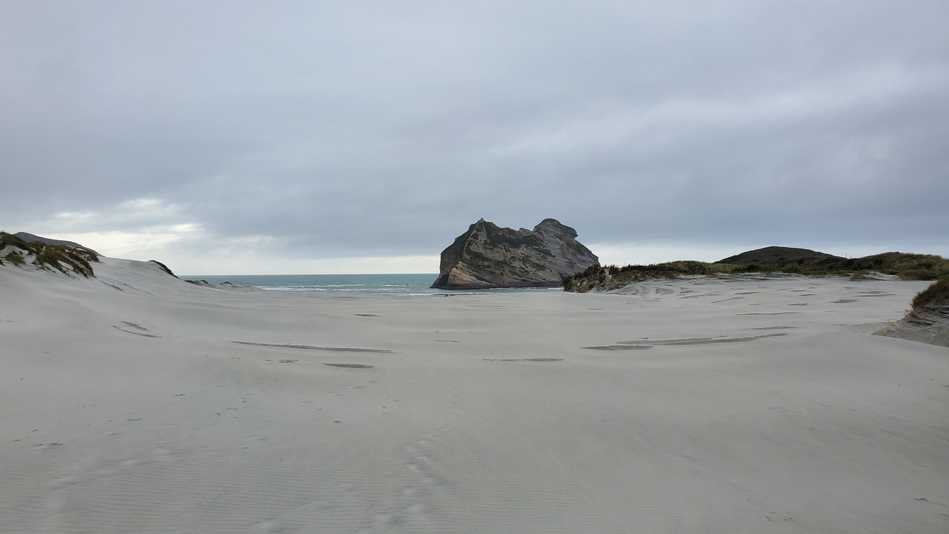
After a night in Nelson to visit Shelley and Kevin, I continued across the Takaka Hill by way of the Ngarua caves, and up towards Farewell Spit and Wharariki Beach. After a night camping overlooking Golden Bay, it was time to head south along the west coast.
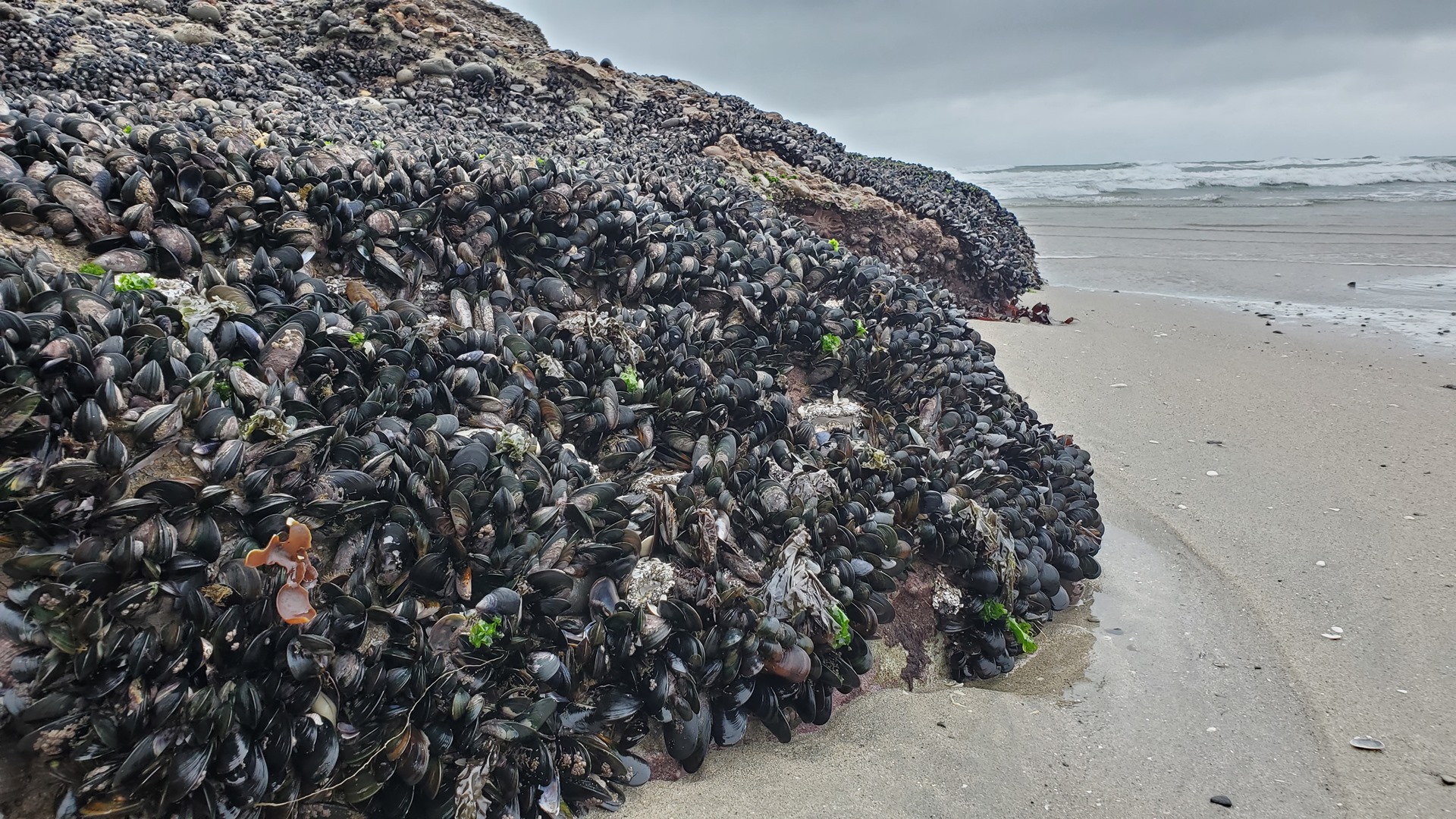
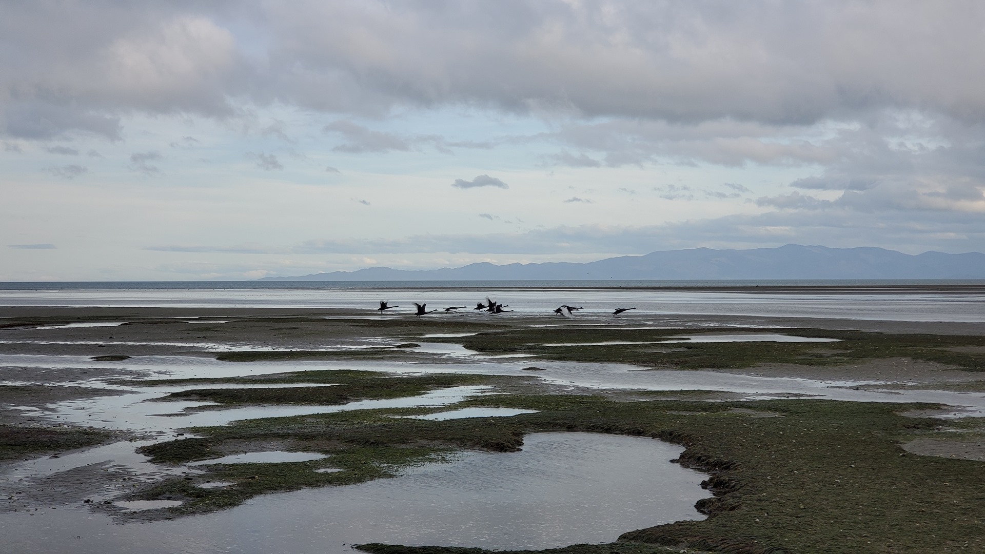
The South Island’s west coast is, to my mind, one of the most beautiful places on earth. The Southern Alps in many places descend almost directly into the Southern Ocean, with the highway clinging to the cliffs above the surf. Every few minutes I found myself pulling over to the side of the road to marvel at yet another incredible view; it made for slow going!


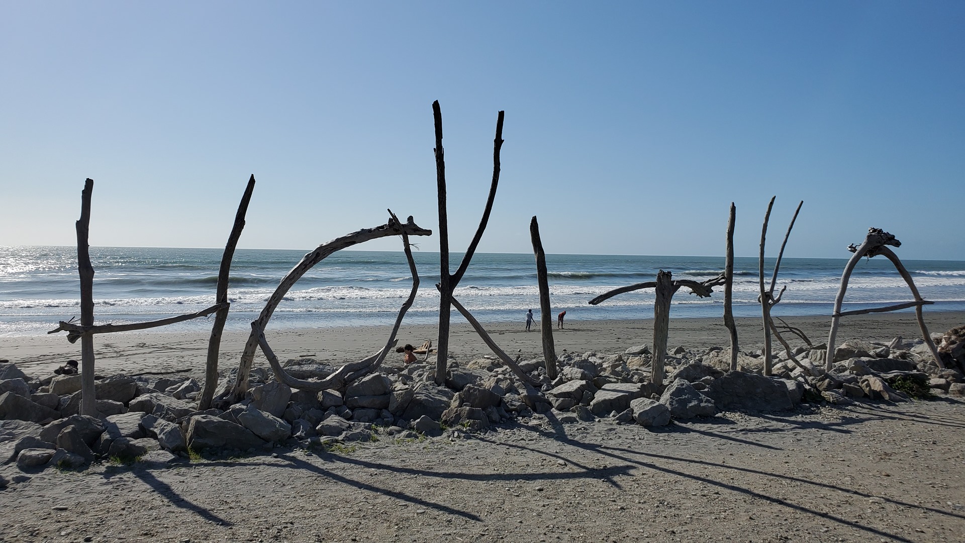

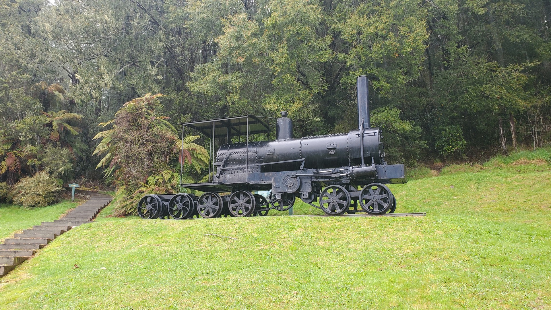
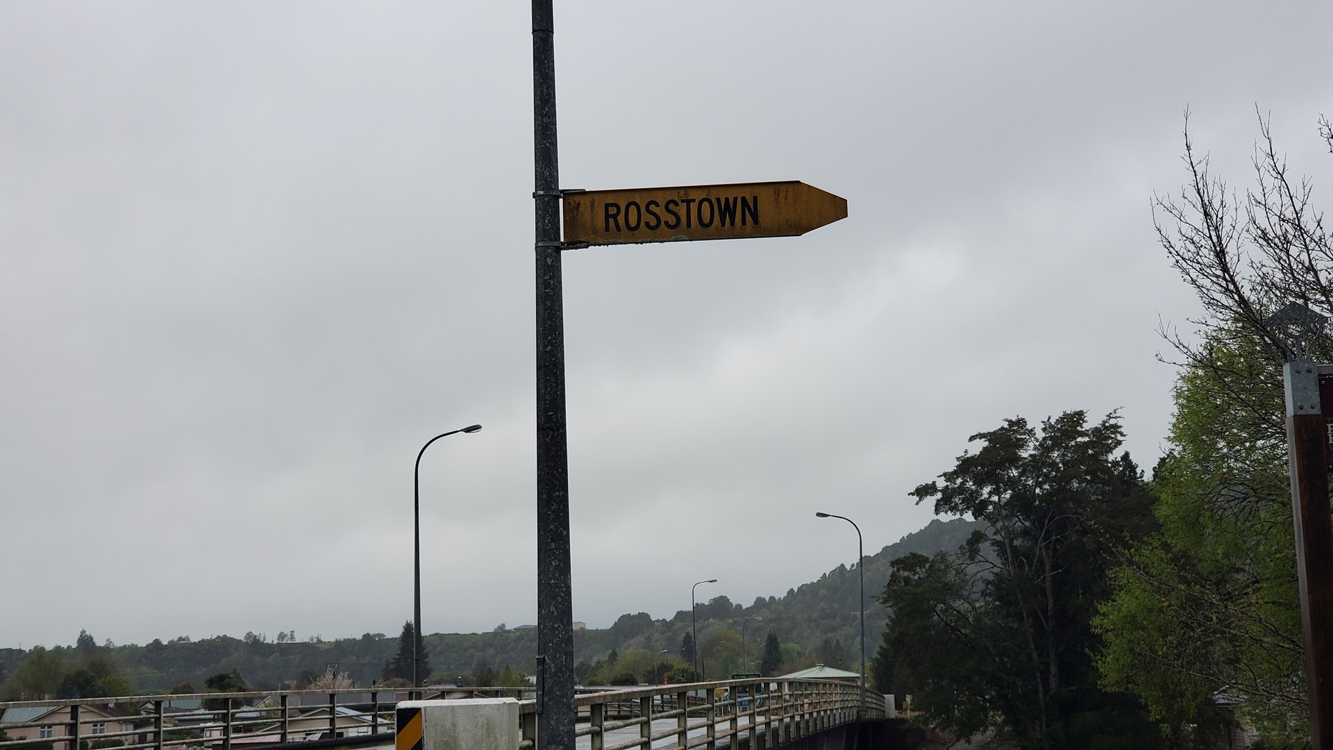
One of the towns I passed through on my way south was Ross. This made for some fun photo opportunities. Close by, I passed a large shed by the side of the road that turned out to house a replica of the biplane flown by Australian Guy Menzies in 1931. I had not know about this feat, but he had turned out to be the first aviator to cross the Tasman sea solo and non-stop. Fearing that he’d be denied permission to make the flight, Menzies informed everyone that he’d be attempting a flight from Sydney to Perth; and then simply flew the other way after taking off from Sydney! He landed in a paddock on the west coast of the South Island just under 12 hours later, ending up upside down but otherwise unscathed. A short drive away was a monument, at the specific point where he had landed.
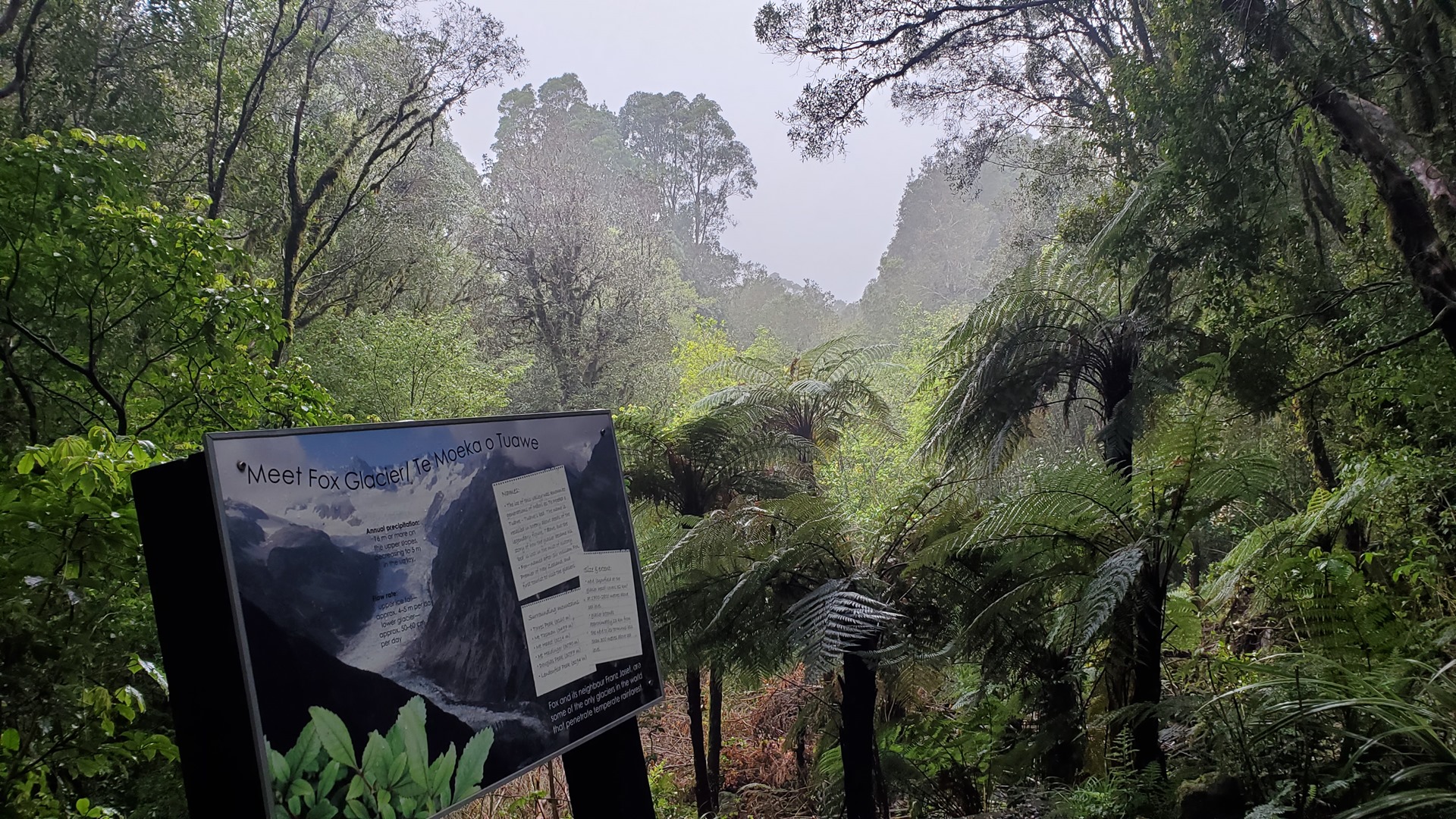
Beyond Ross are two of the top attractions on the west coast, the Franz Josef and Fox glaciers. Having visited the Franz Josef at ground level back in February, and had the view entirely blocked by mist and cloud, I decided to try my luck at the Fox. The view was entirely blocked by cloud!


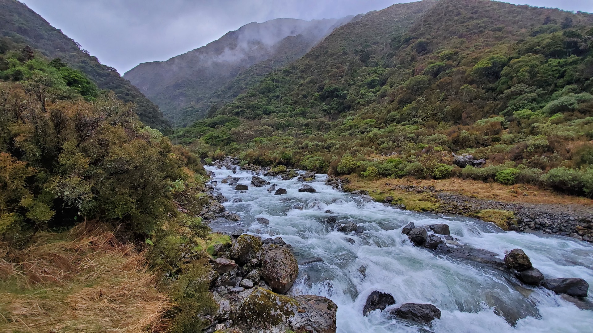
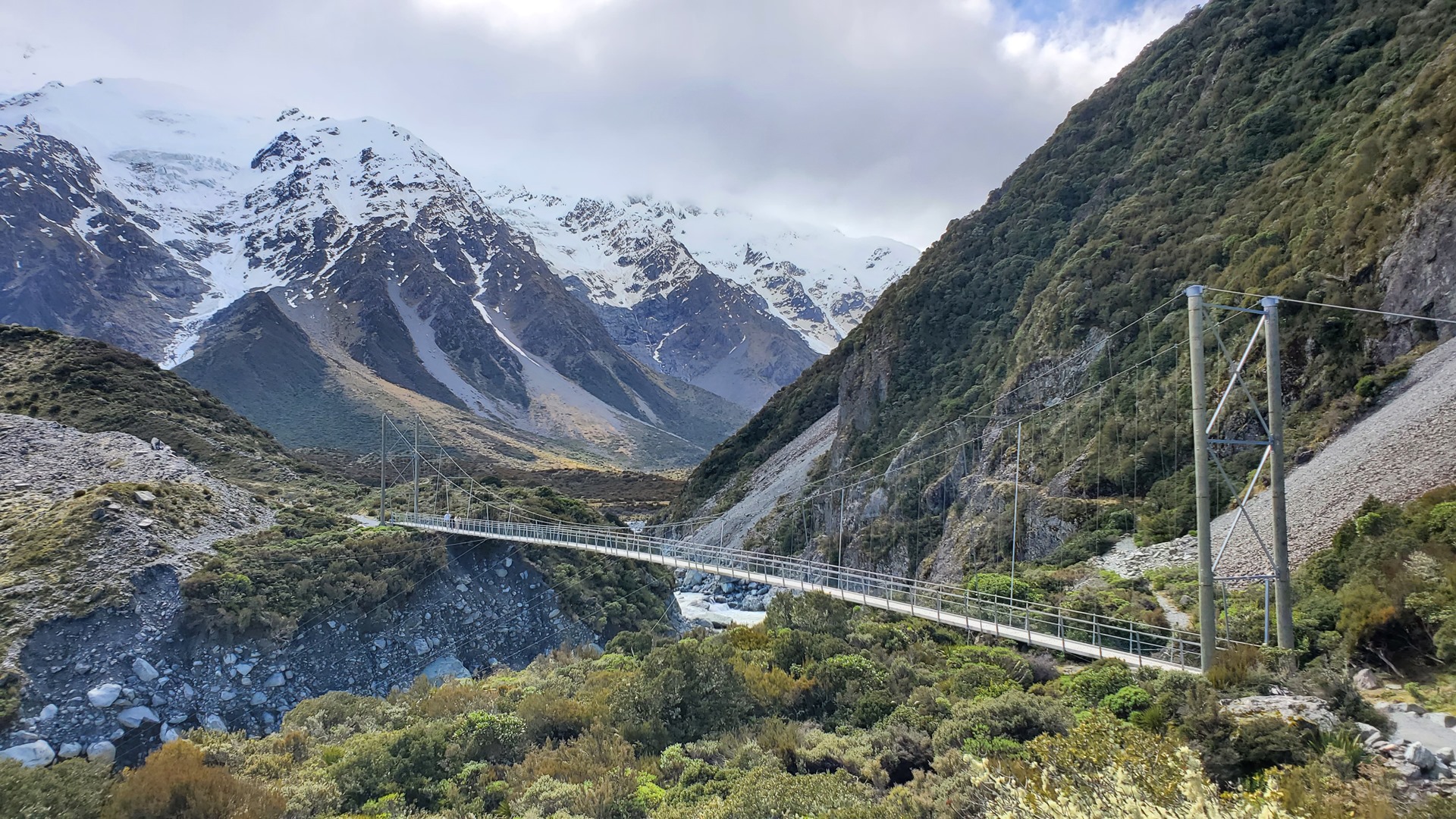
Continuing south, I passed through Haast and up into the Haast pass; familiarity with this pass would prove to be helpful later, when in the air. This is the lowest pass through the Southern Alps and has a number of picturesque stopping points, including the dramatic “Gates of the Haast” where the river rushes through a narrow gorge on its way down to the sea. Coming out the eastern end of the pass, one passes through Wanaka and can then take a turn to the north and head for Mt Cook.


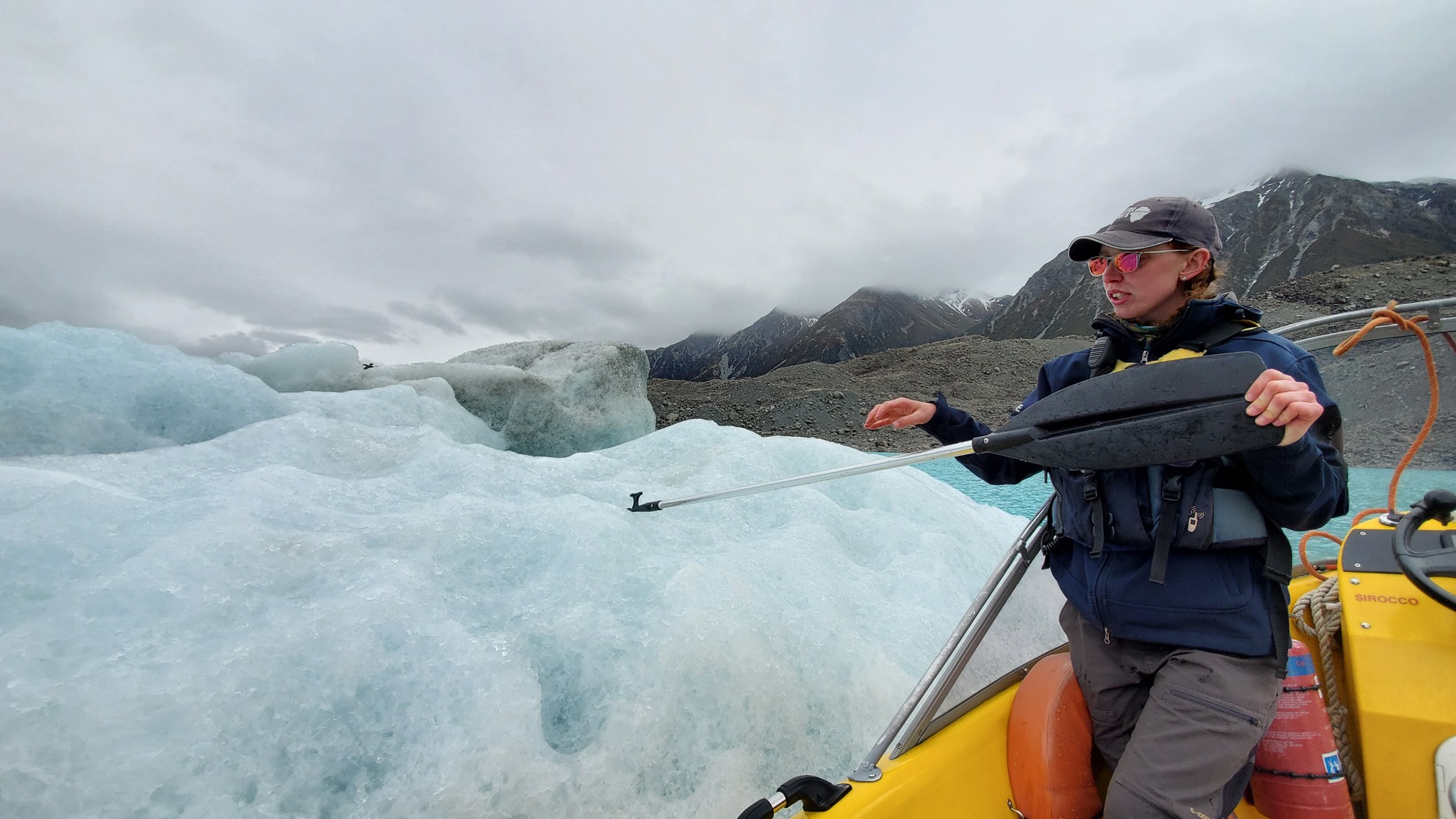
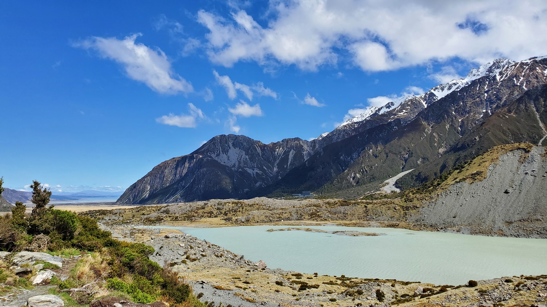
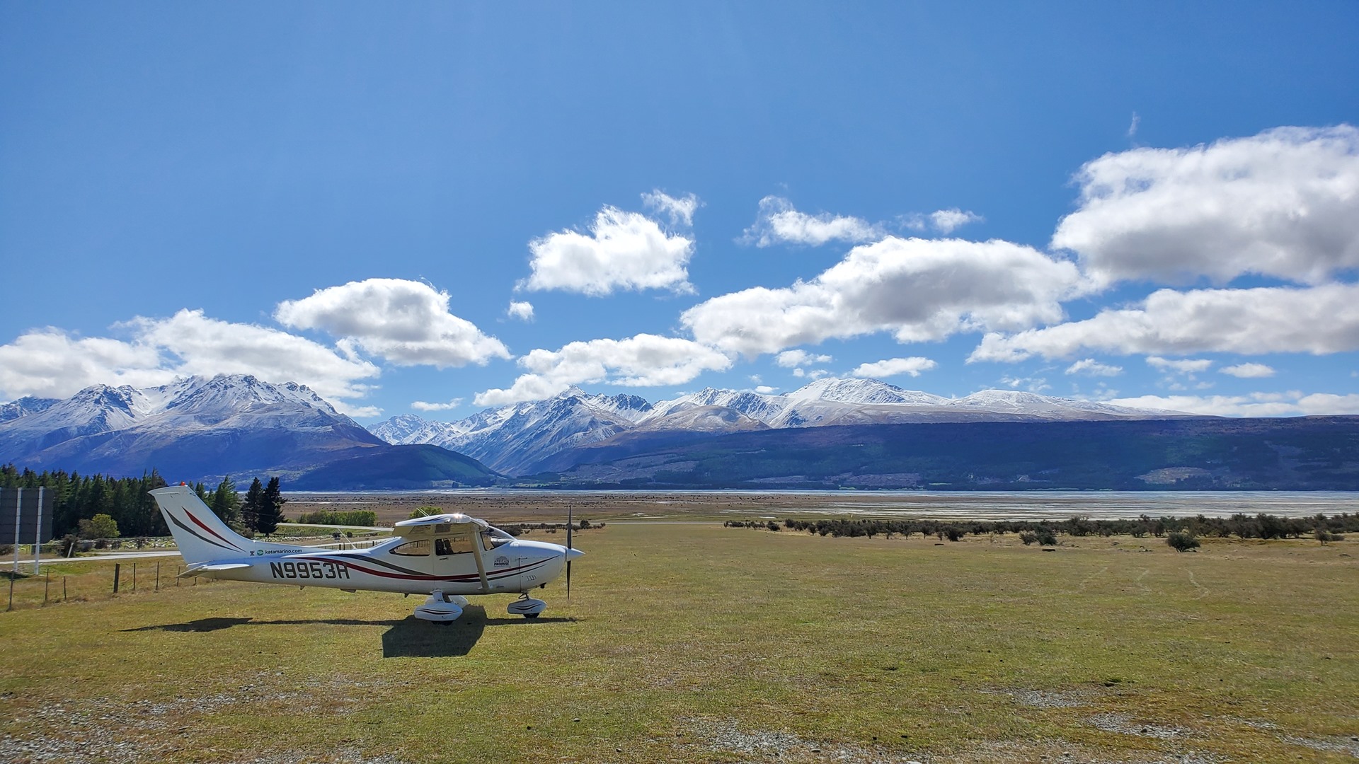
It was a cold night in the campsite at Mt Cook, but well worth it for the views and the walking the following day. There was also time for a boat ride to see the foot of the Tasman Glacier, before jumping back in the van and driving late into the night back towards Barradale; the weather the following day was forecast to be excellent, and so it seemed like the ideal time to try and fly Planey into Milford Sound.


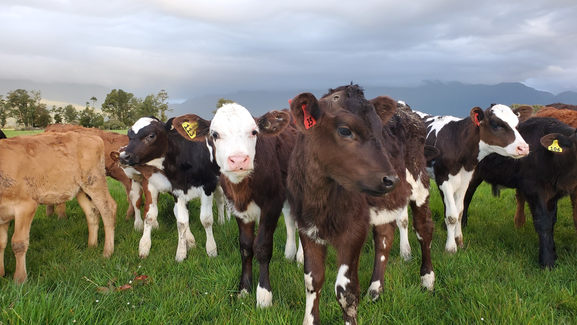
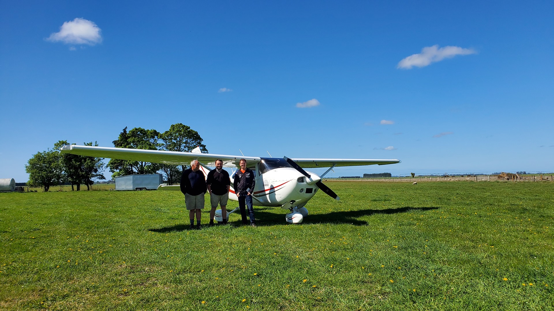
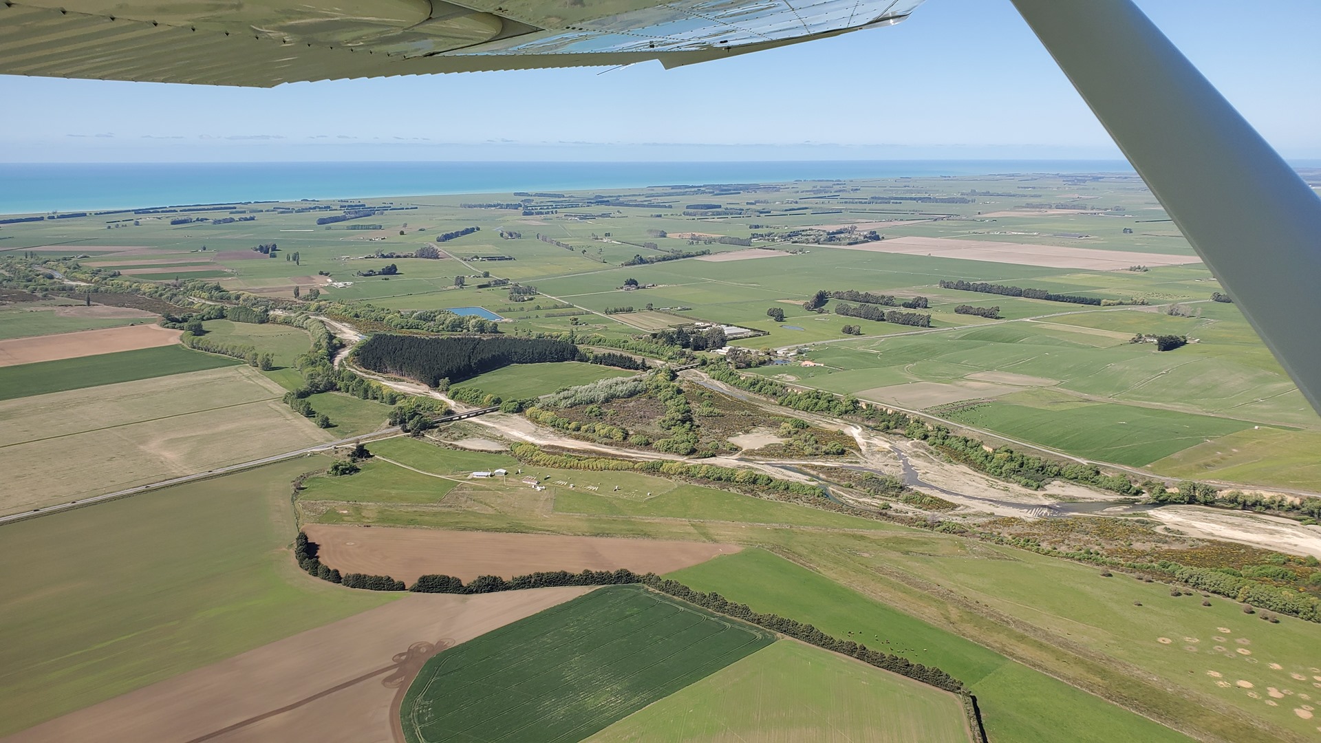
I took off out of Barradale, saying a temporary goodbye to the friendly cows from the preschool next door, and after a quick stop for fuel at Rangiora I headed south. Although Milford Sound was the main target for the day’s flying, I had decided to try and land at a number of other airports along the way, which I had never stopped into before. After a landing at Ashburton, the first really interesting stop was Rangitata Island. The owners met me on arrival, and showed me around their hangars which were stuffed full of interesting microlights. They also told me a bit about their role as importer of Rans aircraft for New Zealand; apparently it costs about the same to deliver the containered aircraft from the port to the airfield as it does to ship them halfway across the world as far as the port! We then enjoyed a cup of tea in the company of the airfield’s three-legged cat, who had been a four-legged cat up until a recent poor decision to take a nap underneath the lawnmower.


I carried on south along the coast, stopping in at Timaru, Waimate, and Oamaru. At Timaru I met the pilot of a back-country modified C172 (and his aircraft), who I had previously run into in February at Tekapo airfield. He was now in this area working a new job. New Zealand really is a small country in terms of meeting people you know!
Oamaru is home to a flight school that seemingly only accepts Indian students. They were all very friendly, and came over as soon as I landed; first to tell me that I was parked on the runway (I wasn’t), and then to ask all about the trip and have a good look around the aircraft. After a good chat, I started Planey back up and headed inland.


As I was approaching my next airfield, Pukaki, I was recognised on the radio; this was a regular occurrence, given that I was flying around the country with a foreign registered aircraft and a British accent. It turned out that a group of pilots from AOPA were flying into the nearby Omarama airport to have lunch, and they wanted me to join them. This sounded like a good plan, so I made a quick stop at Pukaki, bumping into a couple of pilots I knew from Ardmore Flying Club who were touring the South Island in the club C172, and then headed over to Omarama.

The event at Omarama was to present an award to the “Pink Glider Cafe”, AOPA’s chosen business for the fly-in cafe of the year. Unfortunately some kind of scheduling oversight meant that the cafe was in fact closed, so we all went and ate at another venue a little way down the road! It was still good fun to meet up with a group of the AOPA members, and after lunch the Pink Glider was even opened for a short time for the presentation of the award. I couldn’t stay for that, however, as Milford Sound still beckoned. I called Air Milford, at Queenstown, to get a report of the latest weather from their own flights in; they reported that I should be good to go and were even kind enough to contact the flight service station at Milford for me, and let them know I’d be coming.


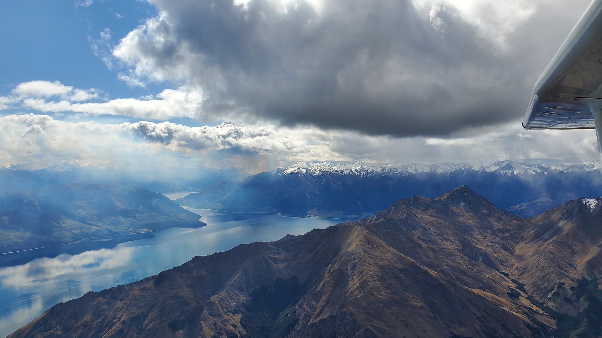
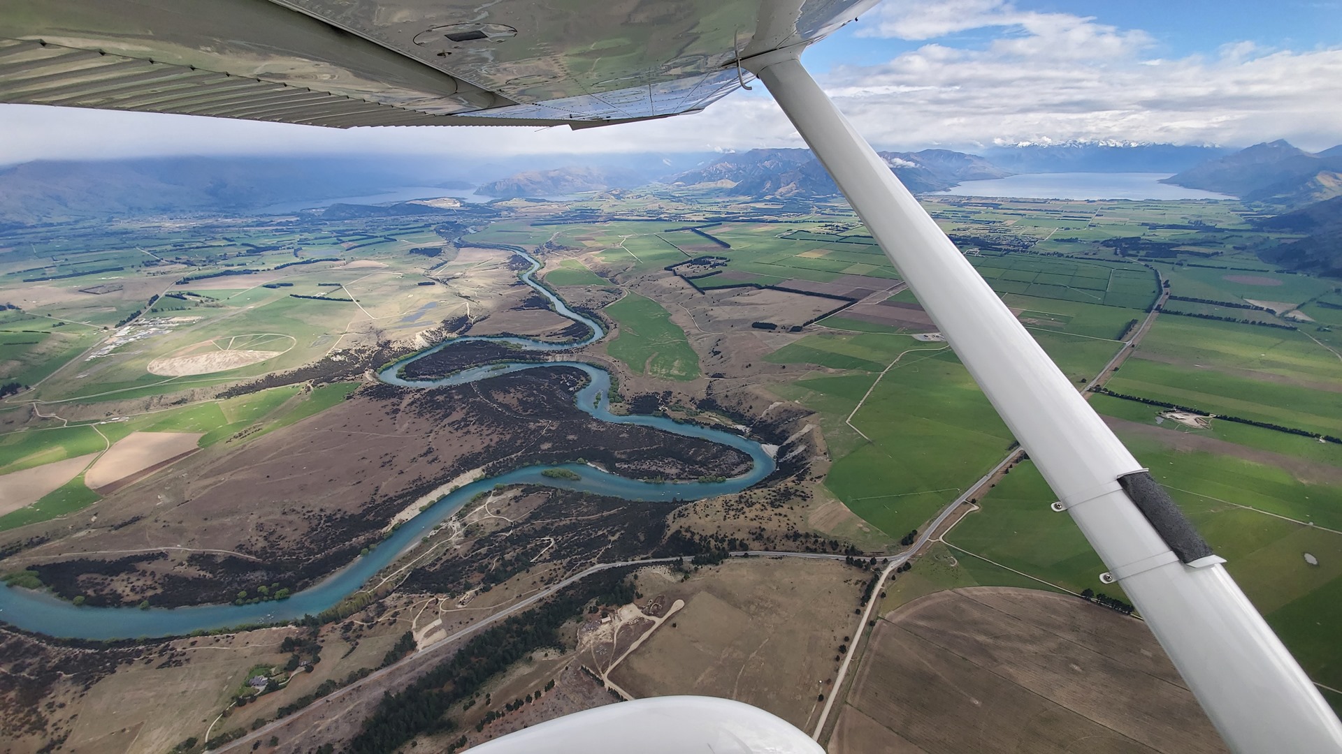
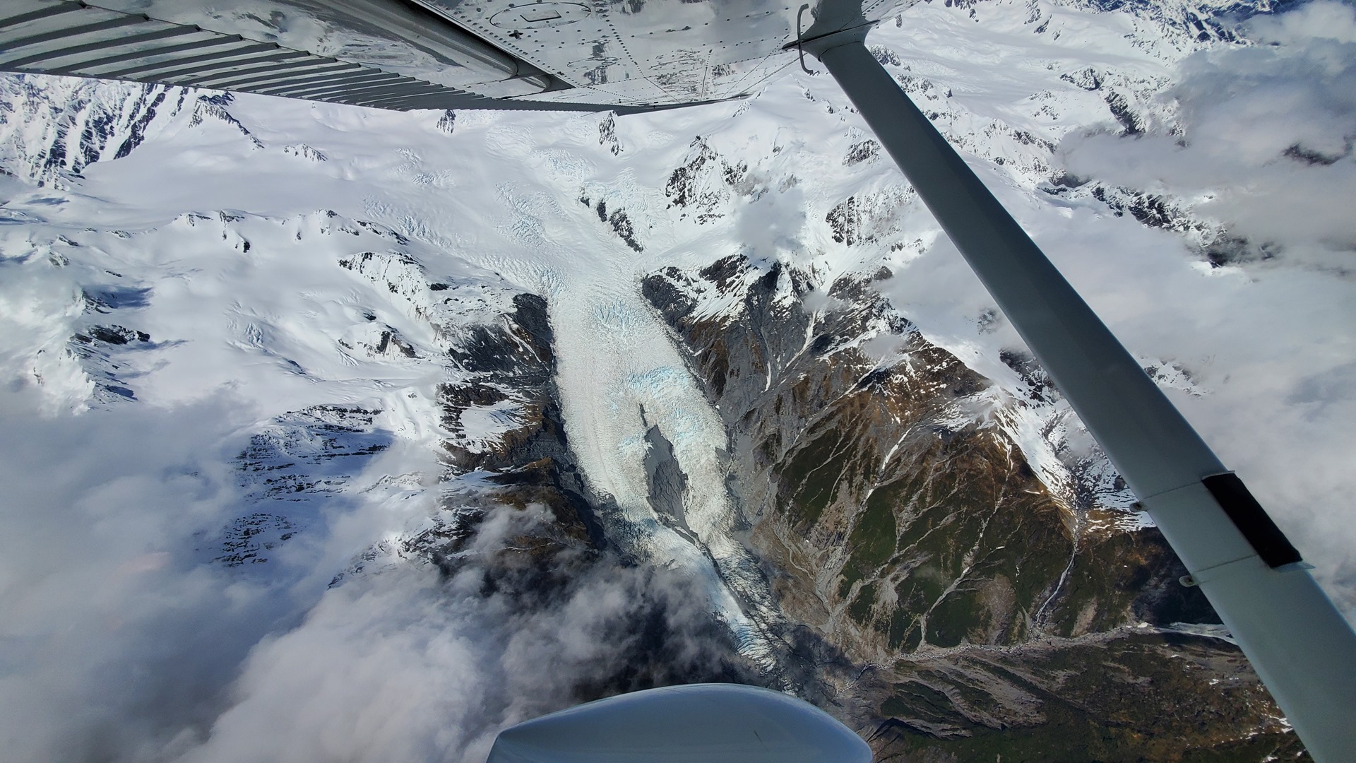
The flight to Milford began smoothly, with no clouds around and smooth conditions. Departing from Omarama, I climbed hard and made my way overhead Wanaka and up the Matukituki river past the awe-inspiring Mt Aspiring. As I made my way further west, some cloud began to appear, lowering down until it started to cover the tops of the mountains on either side of the valleys that I was flying through. I flew fairly slowly, with great attention paid to the charts to ensure I always had an escape route, and I was glad for the detailed briefing about the area that Ant from Milford Air had given me when I was in Queenstown. The first couple of routes I tried turned out to be no good, with cloud coming all the way down to the top of the passes, and each time I was forced to turn around and return the way I’d come. Eventually I found a clear route through, flying all the way down to the tip of Lake Te Anau before heading up the Clinton river, towards Lake Quill. This all ate up a lot of time, and I arrived in the area of Milford Sound airport just as the flight information service was going off watch.

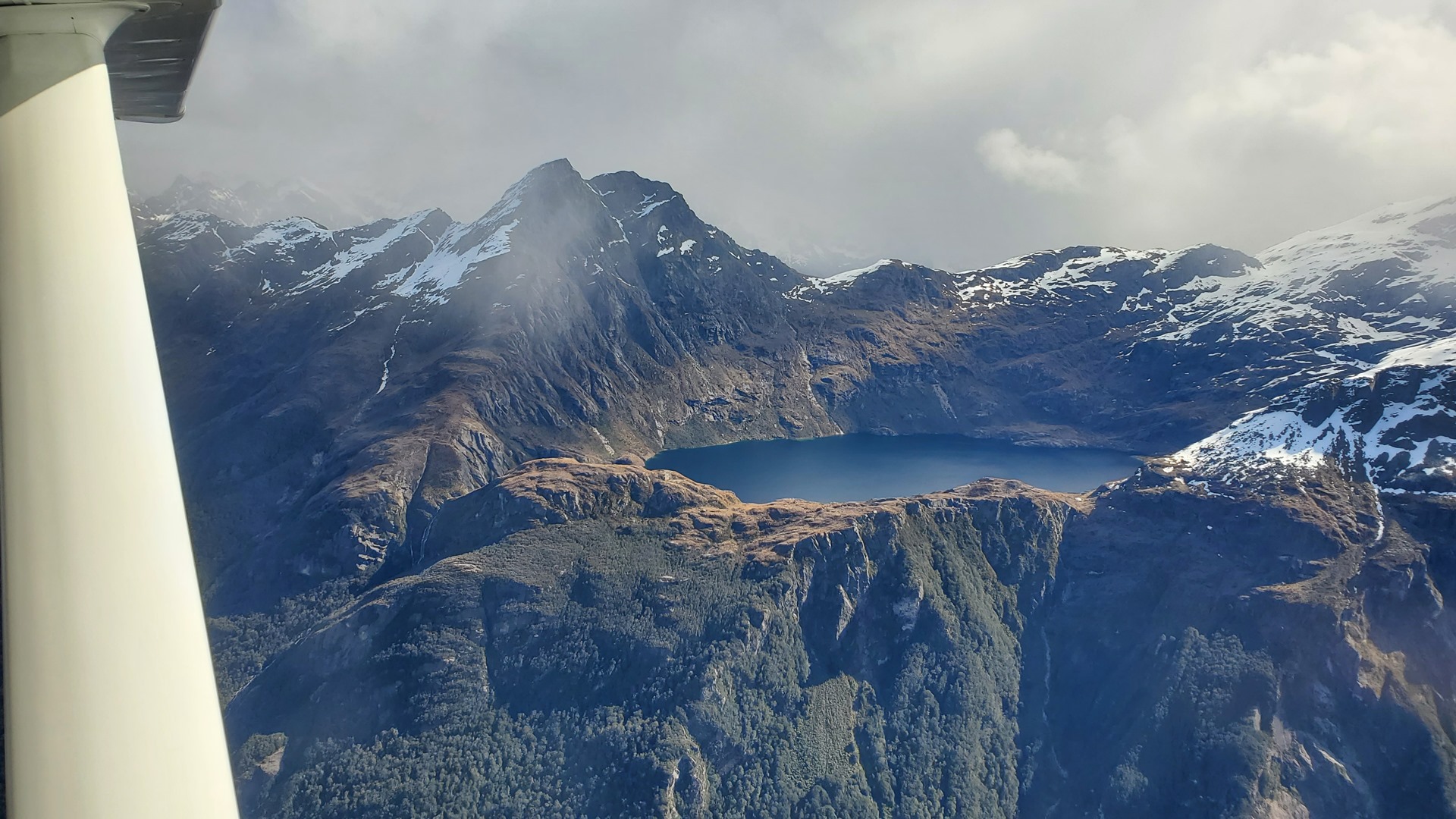


I flew the same approach that I had done on my familiarisation flight with Ant, landing to the west. It was tremendously exciting to fly into this famous airport in my own aircraft, with myself at the controls. I had tried to organise it so that Milford Sound would be the 900th airport I had landed at, to mark the milestone with a significant stop, but I had messed up the count and it ended up being number 902! After a short stop, and some photos to mark the occasion, I set off again. My original plan had been to return to Barradale all in the one day, but the time and fuel spent in finding a way through to Milford sound meant that was now not looking at all practical.


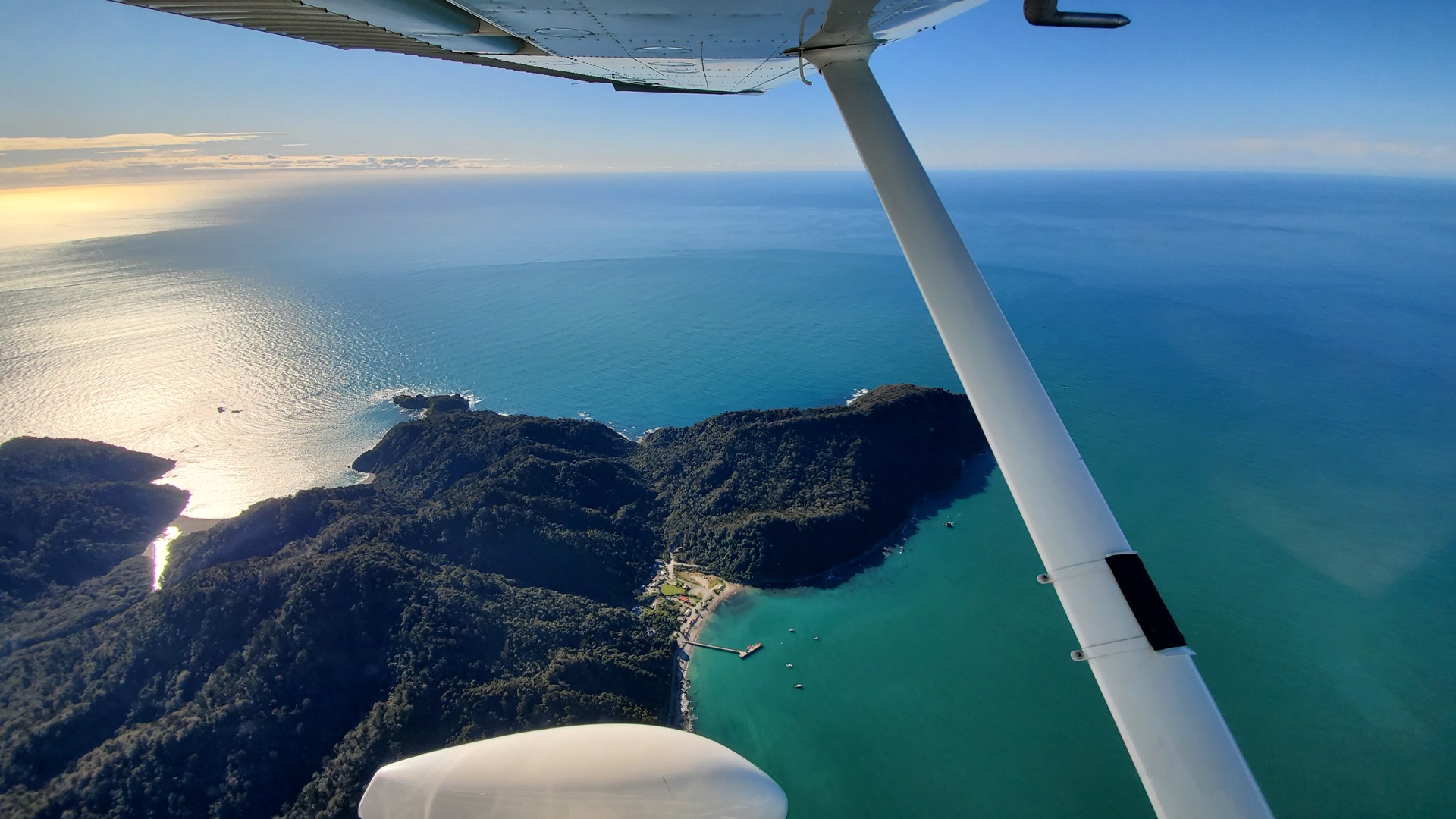


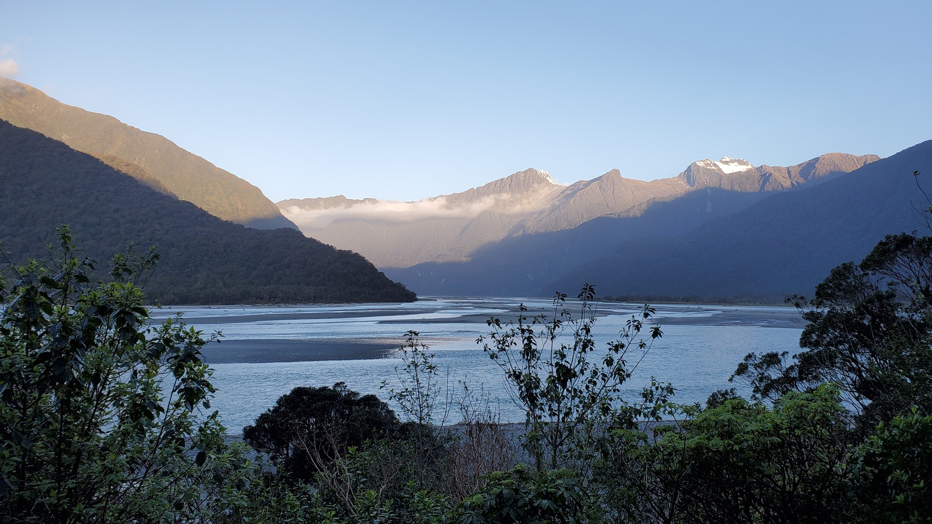
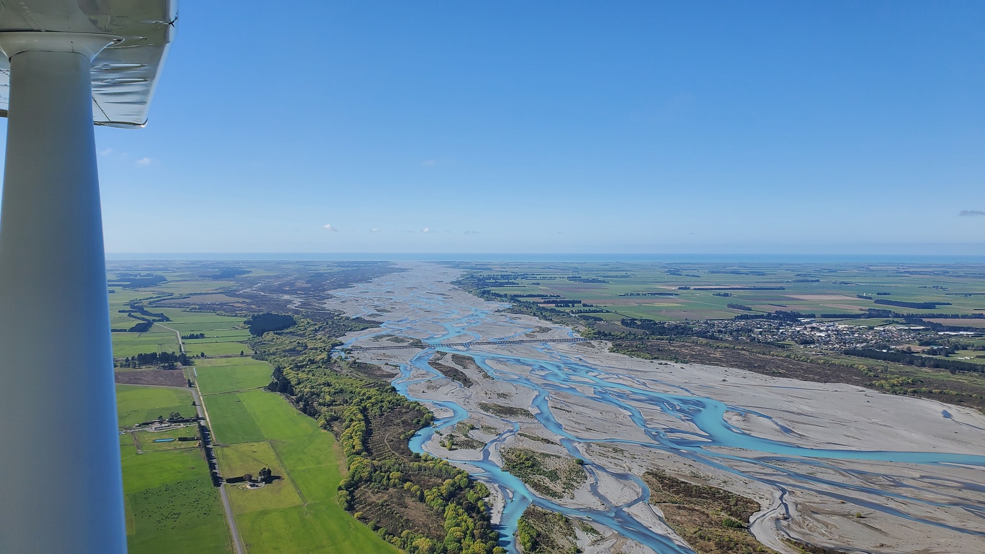
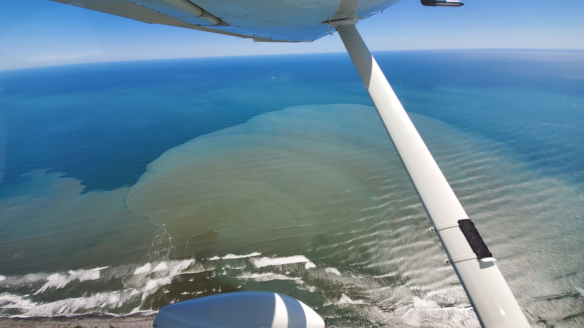
I flew along Milford Sound to the western end, before turning north towards Haast. This southwest coastline is a very remote and untraveled part of New Zealand, and there was almost no sight of human civilization. The wind was in my favour for once, and it didn’t take long to fly beyond the really rugged cliffs and reach the slightly flatter coastal plains, offering more options for a landing in case of emergency. I passed a couple of small coastal settlements, one of which had a good looking airstrip tucked in the middle, and resolved to fly back there at some point for a visit.
Haast airport was deserted when I arrived, and I secured the aircraft with chocks and covers, having elected to stop here for the night. As I was doing this, a piper PA28 with large tires for off-airport work turned up, not something that one often sees. The aircraft belonged to the small local commercial operator and was coming back from a scenic flight; we had a quick chat, but I failed to secure the offer of a lift that I had rather been hoping for. Luckily, the Haast River Motel is only a short walk from the airport, and there’s a restaurant a short walk from there as well. Unusually convenient for an airport out in the more remote parts of the world!

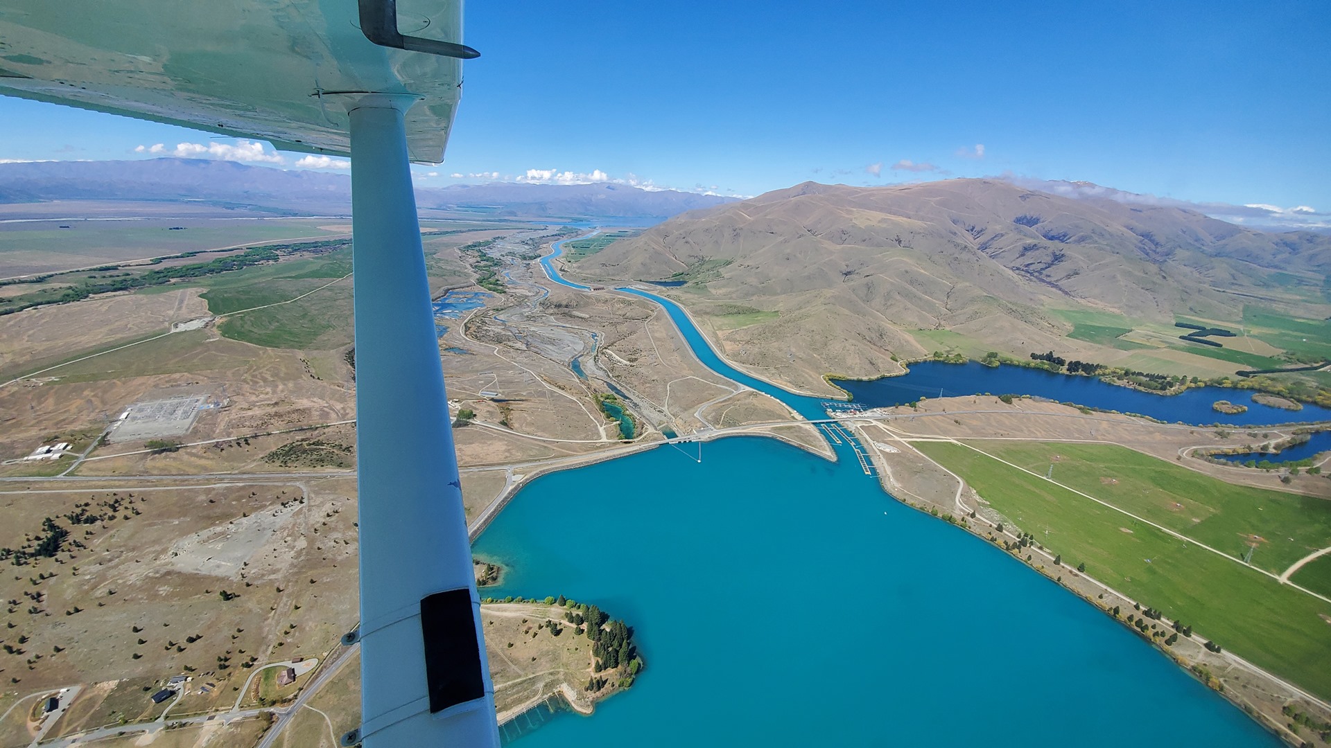
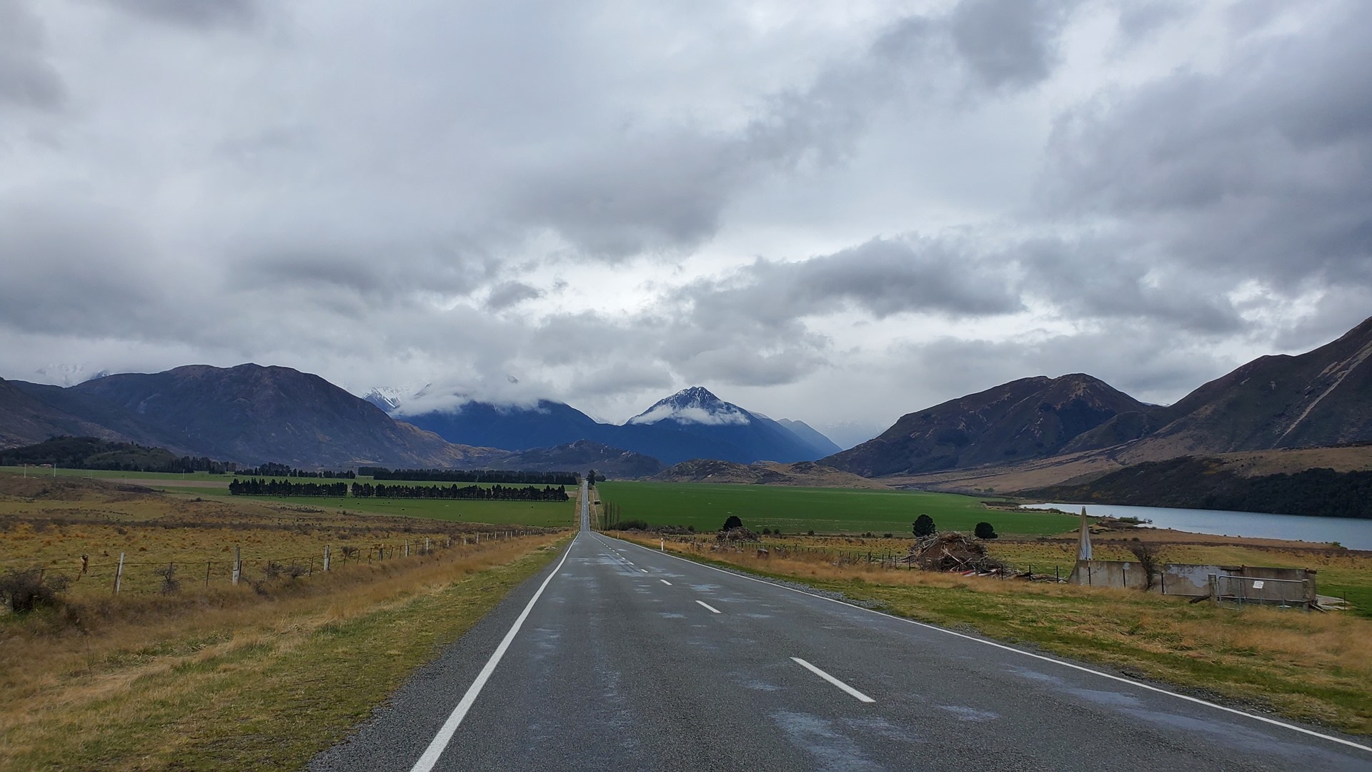
The weather the next day had taken a turn for the worse. Conditions around Haast were not too bad, but up the coast along my originally planned route the ceilings were low and a crossing of the Southern Alps back to Christchurch seemed unlikely. I took the advice of Bruce Drake, and decided instead to head through the Haast pass and fly to Wanaka for fuel, before flying up the eastern side of the mountains.

The Haast pass is the lowest of the New Zealand mountain passes, and I had plenty of clearance between terrain and cloud base as I flew east. It was good fun to spot from the air those tourist spots which I had visited at ground level, such as the Gates of the Haast and the Blue Pools. Before long I was landing at Wanaka, and filling up with the assistance of one of the commercial operators.


After a visit to the cafe at the nearby toy museum I took off again, bound for Christchurch. I steered in the direction of Mt Cook initially, in the hope of getting another view of New Zealand’s highest mountain. Although I was able to get close to the mountain, it was entirely hidden behind clouds, so I turned in the direction of Barradale.


On the way, I stopped in briefly again at Rangiora. This time the microlight club was open, so I said hello and spent a while chatting to the gathered pilots. On the other side of the grassy area outside the club, there was an unusual looking Pipistrel-style aircraft, together with a film crew. I wandered over to see what was going on. The aircraft was an all-electric one, still early in development; the film crew were here to do a story about this new technology. They were busy, so I left them in peace and headed back to Barradale!


I spent a short while at Barradale, while Bruce showed me the latest repair job he was working on. It seemed like there was no task on an aircraft he wasn’t able to take care of! After leaving Barradale, I drove west towards the mountains. My plan was to drive two of the main mountain passes in New Zealand, Arthur’s Pass and the Lewis Pass. Arthur’s Pass in particular is known for its dramatic views, and it was this one that I set off along first.
The road to Arthur’s Pass initially runs through wide, flat meadows at the base of the valley. As you slowly start to climb, you come across “Castle Hill”. No castle has ever stood on this site, but the dramatic limestone formations are very reminiscent of this type of fortification. Although it’s located on private land, public access to walk up to and over the rocks is allowed. After a brief visit here I continued up into the pass, and rain started to set in.


That night I parked up overlooking a river in Arthur’s Pass, listening to the roaring of the water as the rain continued all the way through to morning. The following day I continued through the pass, which was incredibly dramatic given the amount of water that was coming down after nearly a full day of rain; the waterfalls and rivers were in full force.


I came out the other side of Arthur’s Pass, and drove for an hour or so through flat land as I headed north, bound for the entry of the Lewis Pass.
After a pub meal in the town of Reefton, I made my way up into the Lewis Pass, to find a campsite for the night.

From Christchurch, out the other side of the Lewis Pass, I made my way back down to Mt Cook for a bit more exploring, as well as the famous Hooker Lake trail.


The weather forecast for what was to have been my final day of ground-based exploring turned out to be excellent, so I decided to turn it into a day of flying instead, and visit a few more new locations. Ann, the German girl that I’d met near Kaikoura, was keen to fly and was now staying in Christchurch; I sent her a message and she immediately signed up to join me for the day.


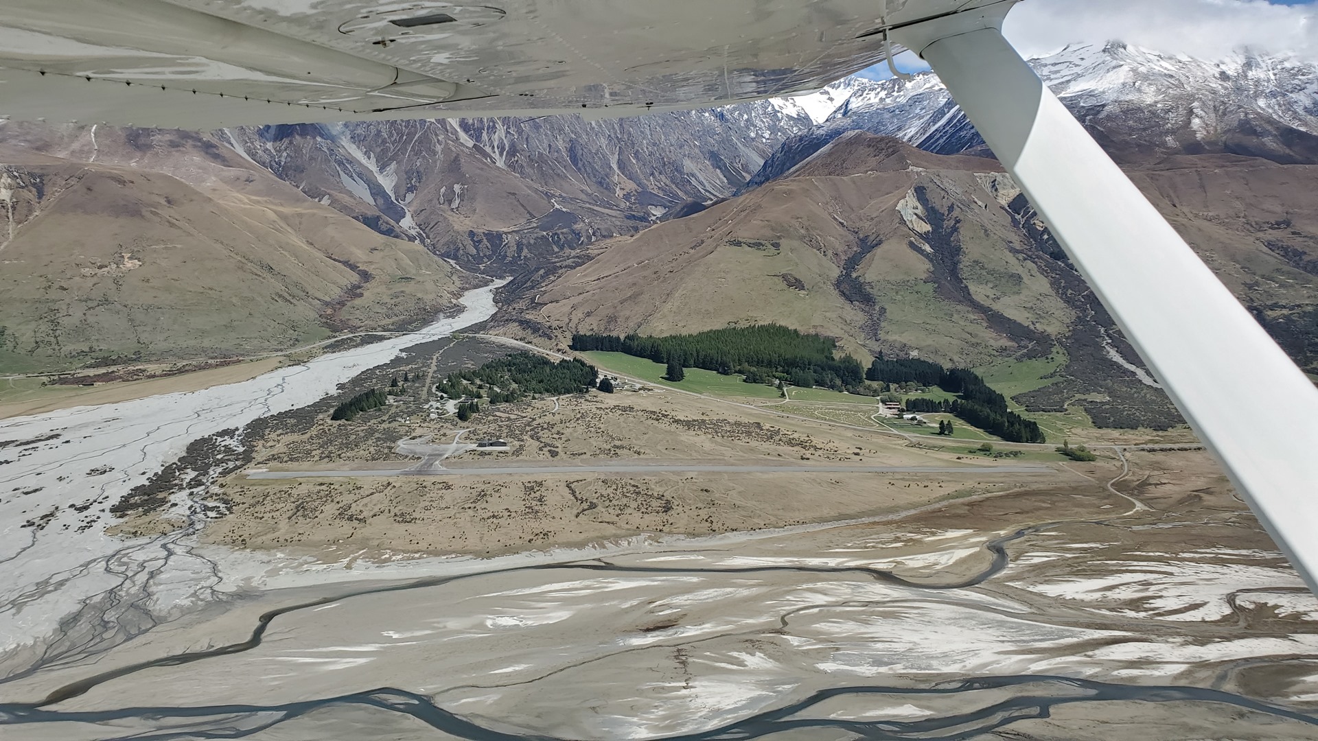
The weather overnight had been chilly, and snow had fallen on the hills and almost all the way down into the valleys. It made for a beautiful sight as we flew over the eastern foothills of the Southern Alps towards our first destination, Glentanner. This airfield is used for scenic flights and heli-skiing operations, and has a nice cafe at the visitor center where we enjoyed a drink and a snack before heading back to the aircraft for our next leg. The views, surrounded by the snow-topped peaks, were stunning!

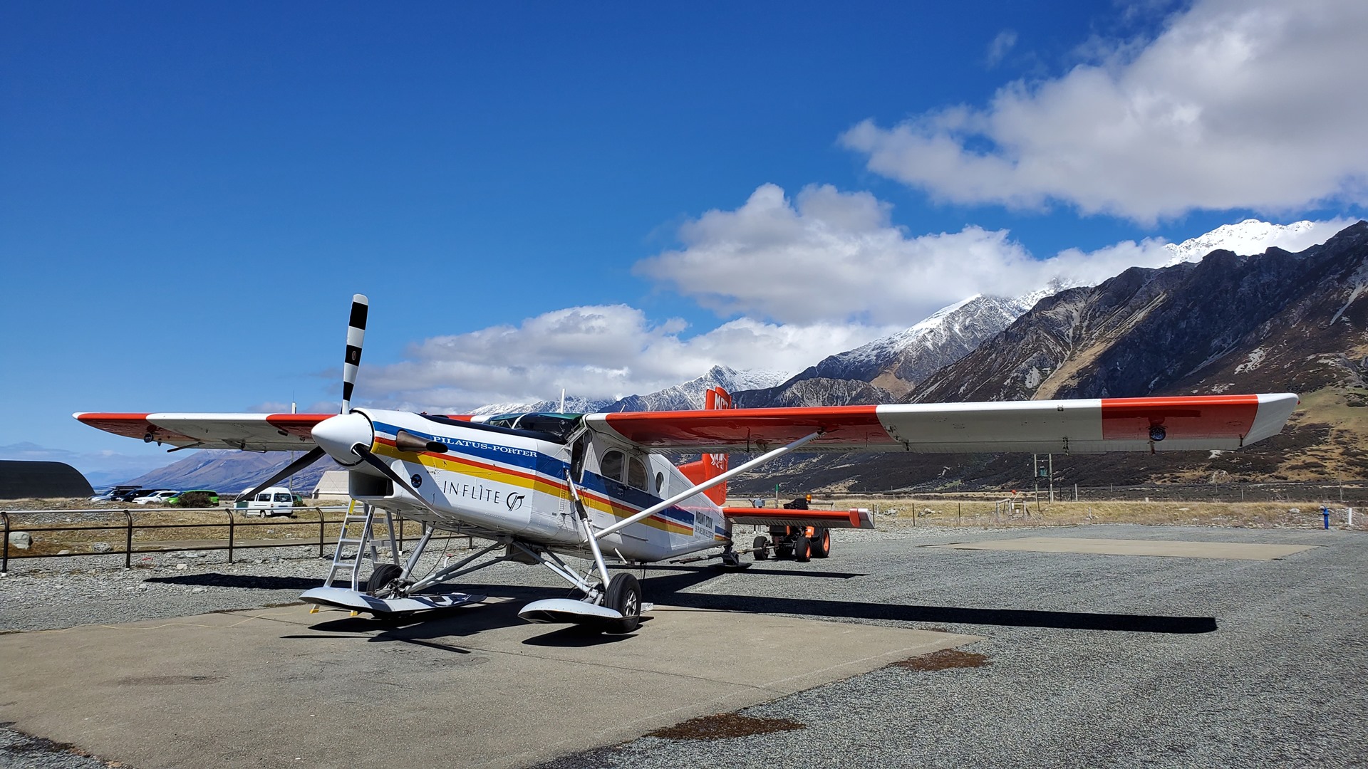
We departed from Glentanner, over Lake Pukaki, and turned west towards Mt Cook airport. This was a short flight, just a few minutes, but we had decided it would be fun to land at Mt Cook as a new destination, and I’d visited the resort office when at Mt Cook a few days earlier to organise the required permissions, and get a briefing from the local operators. There was no traffic as we arrived and parked up on the apron near the little terminal building.
One of the local commercial pilots was busy refueling a Pilatus Porter near us on the apron. Equipped with skis, this aircraft carries tourists on flights to land on one of the glaciers near Mt Cook, and he was preparing for a flight later that day. Apparently activity was significantly down when compared to previous years. After a brief chat, we continued on our way, keen to make the most of the good flying conditions.


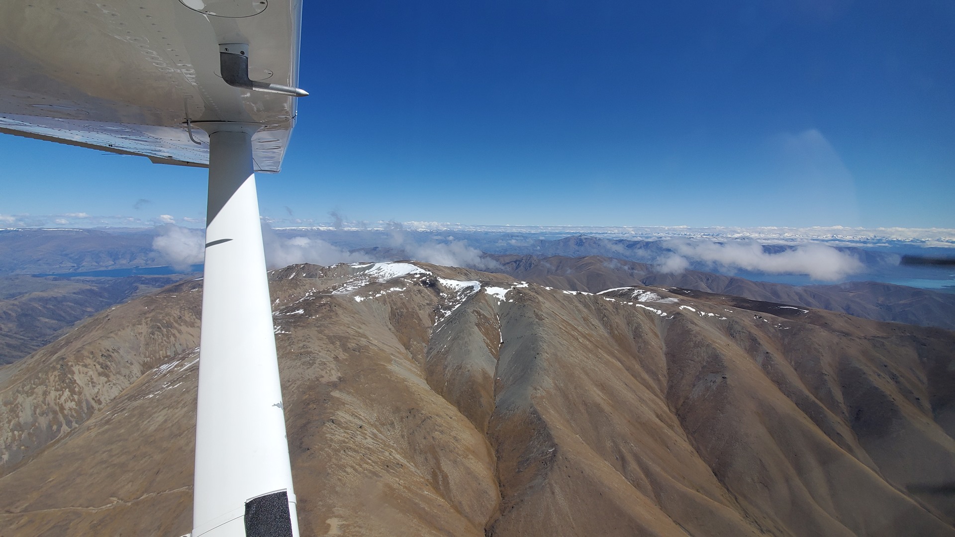
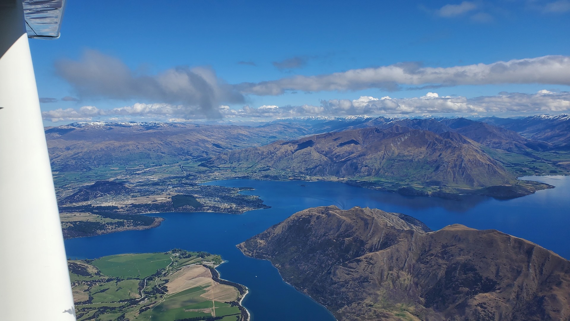
Departing to the east, we flew outbound for a while climbing hard before turning back towards the mountains. Mt Cook tops out at more than 12,000ft above sea level, and Mt Cook airport sits at just over 2,000ft, so it was a long way up for a proper scenic flight. With not much weight on board, and a powerful PPonk engine, Planey took it in his stride though. It’s rare to have such smooth, clear weather around the peak so we circled around the mountain top to take full advantage, and enjoy its splendour from all sides. Scenic views complete, we set course up the coast towards Greymouth.


It was not a long flight, and we were in a descent for nearly all of it; 12,000ft, all the way back down to sea level. The taxiway at Greymouth was being used for defensive driver training; a slightly weird place to do it, given the number of empty parking lots and the like that were nearby. They were monitoring the radio, and cleared off to allow us to taxi in. Fuel sales at Greymouth for people like me who don’t have a supplier-specific fuel card are cash only, so Ann and I took a walk around to the other side of the airport to find a cash dispenser; by the time we got back, the local flight instructor had shown up to dispense the AVGAS for us and get us on our way.

The weather was starting to worsen from the beautiful conditions we’d enjoyed so far, with a cloud ceiling forming, but visibility was still excellent and there was plenty of headroom between the cloud and the mountains. We loosely followed the Lewis Pass back across the mountains, encountering a flight school aircraft coming the other way not long after we departed; they confirmed good conditions ahead.

Before long, we were descending towards Hanmer Springs. I had attempted to contact the owners of this long, grass strip in advance, but hadn’t managed to get a reply; the aeronautical information available did say that it was not essential to get prior permission however, and there were no navigational notices up about the strip, so I decided I’d still fly in after a careful inspection from the overhead. There were a few rain showers in the vicinity of Hanmer, but nothing bad enough to be a problem, and after a careful low level inspection of the strip to ensure that there were no obstructions, we landed and parked up at the end. There was no gate, so we hopped over the fence and set out to walk towards the main road; our plan was to find a lift to the hot springs in the town!
As we walked, we were greeted by a gentleman on a tractor. He turned out to be the owner of the strip (at least, he had been until recently), and was quick to inform us that the strip had been closed a year earlier. This was news to us, given that it was still in the AIP, and on the chart, and the fact that there were no “Notices to Airmen” mentioning this! “Hmm”, he said, “I’d better get the CAA to remove it”. Now that we were on the ground anyway, he was kind enough to give us a lift to the hot springs where we spent a relaxing couple of hours. He even came back and picked us up at closing time!
The remaining short flight to Barradale was uneventful, and we enjoyed an excellent meal with Bruce and Rae that evening.
Click here to read the next part of the story.