Alaskanada – the Southwest
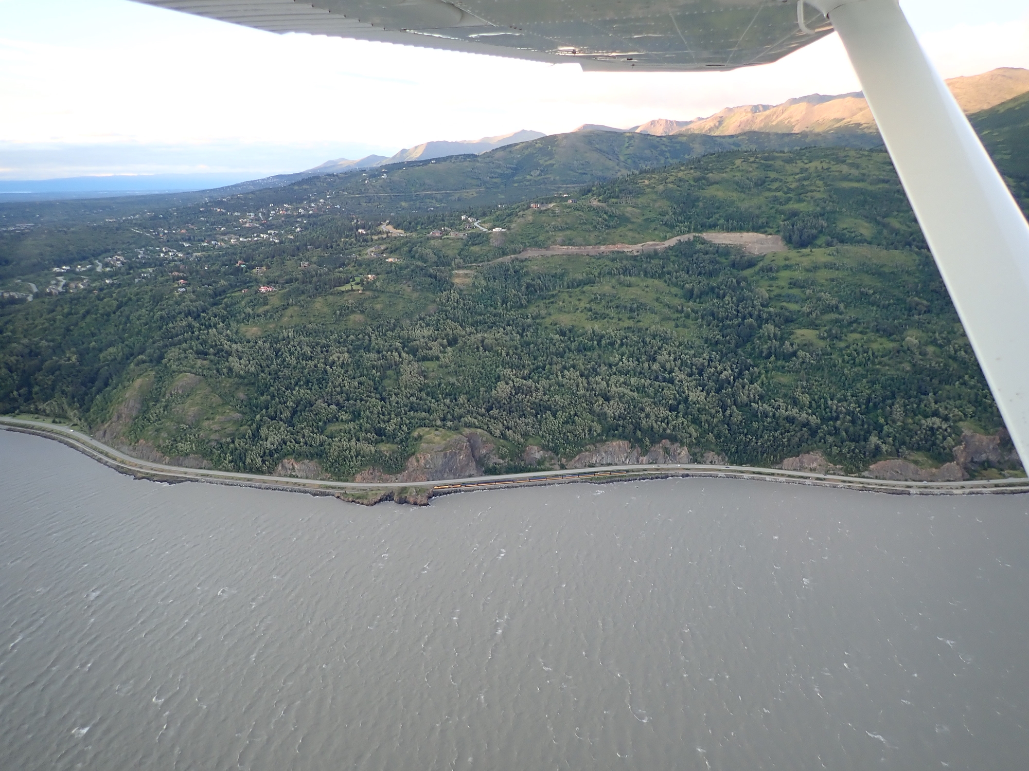
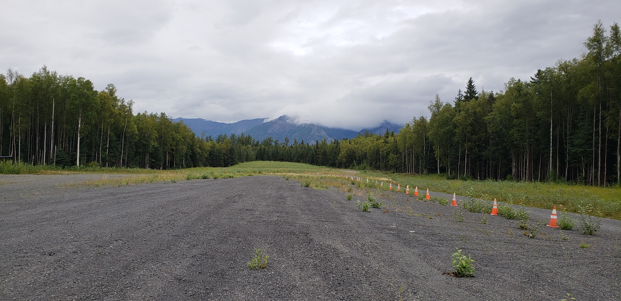
I met James off his flight and we retrieved his luggage and the all important protective rifle. We grabbed a bite to eat and then set out to find a camp site. Merrill Field’s fly-in camp site was closed for the season so we headed 20 miles south east across the Turnagain Arm to Hope, a little grass strip nestled in a side valley. There was a 50kt wind blowing down the arm that led to some violent turbulence as we turned into the site valley. Happily, the valley was sheltered; we made a low pass to assess what the wind was doing, and then came in for an uneventful landing.
Before long a pick-up truck rolled over to greet us. Johnny was a local pilot who welcomed visitors (apparently a number of other locals were not so friendly); he’d gone so far as to install a latrine for visiting pilots, and paint out the “No” on the “No Camping” sign. We set up camp by the airplane! Johnny disappeared for a while and returned with a large jug of beer which he shared around, and a pleasant night was had by all.


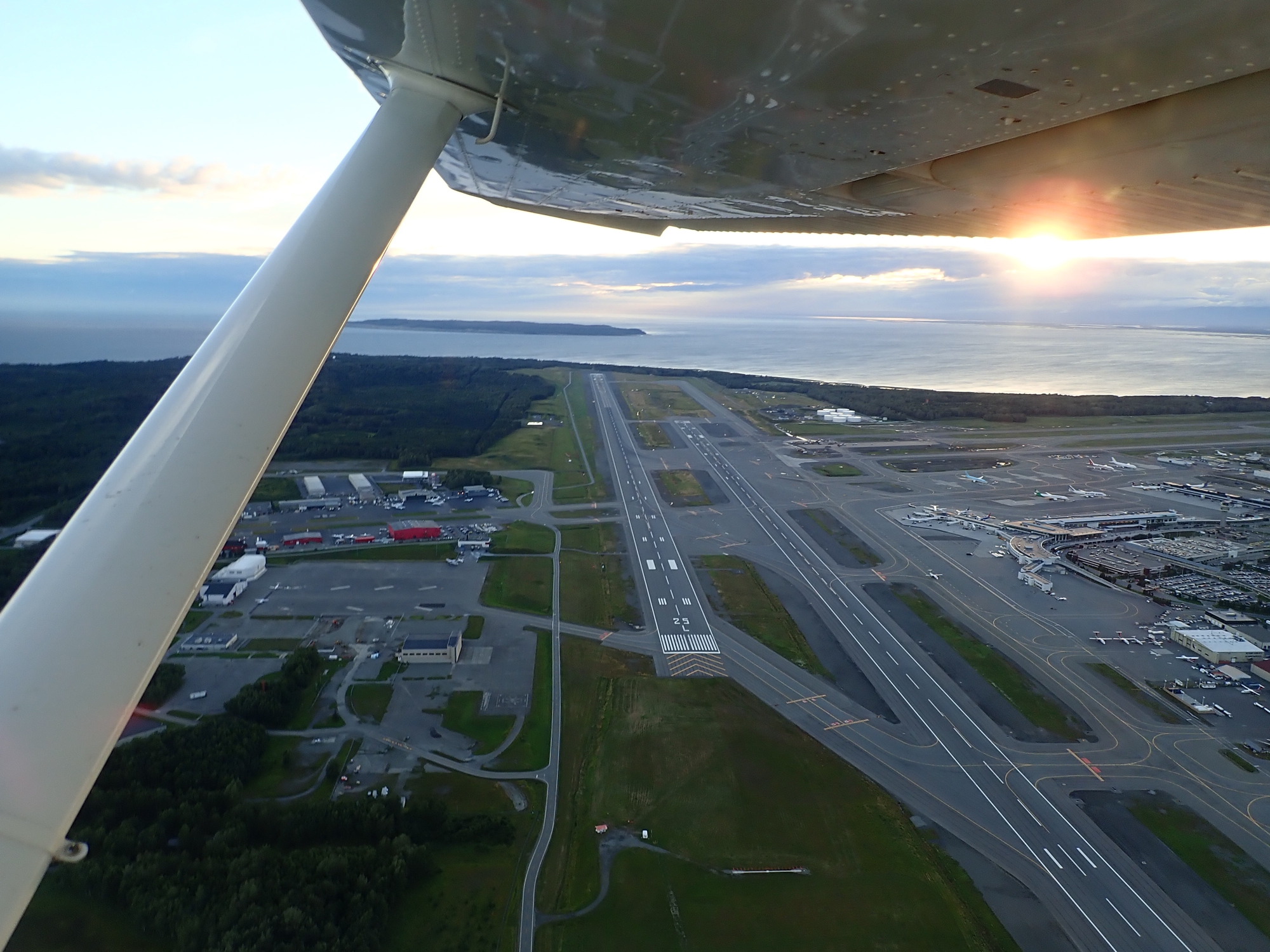
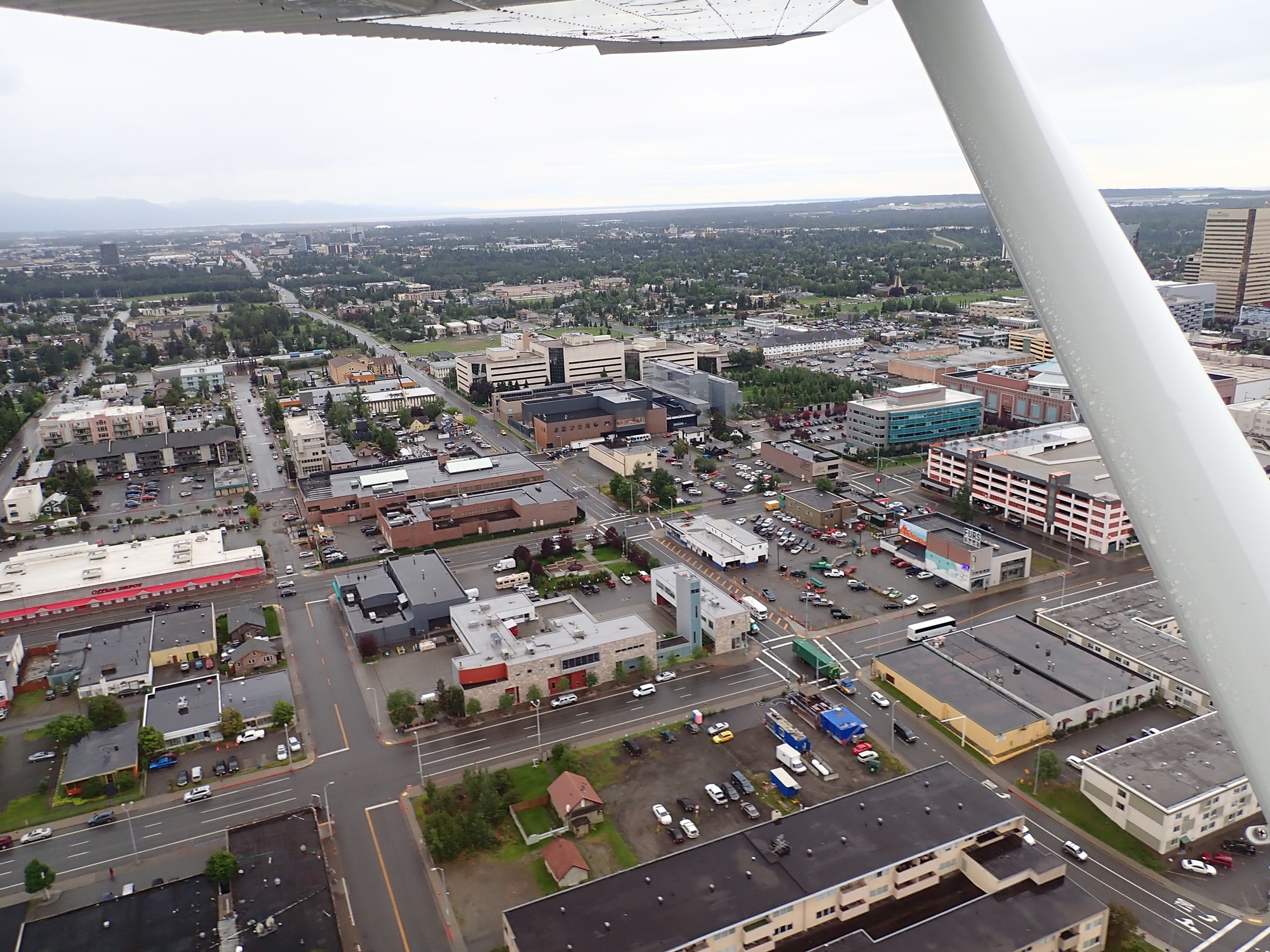
When we awoke it was still blowing hard in the arm. The day’s plan, if weather allowed, was to head far along the coast to the west, starting a navigation of almost the entire coastline of Alaska. We had breakfast at a local coffee and kayaking establishment (an interesting combination), and then took off; we first headed north, skirting the east side of the Anchorage airspace, to land at Birchwood.
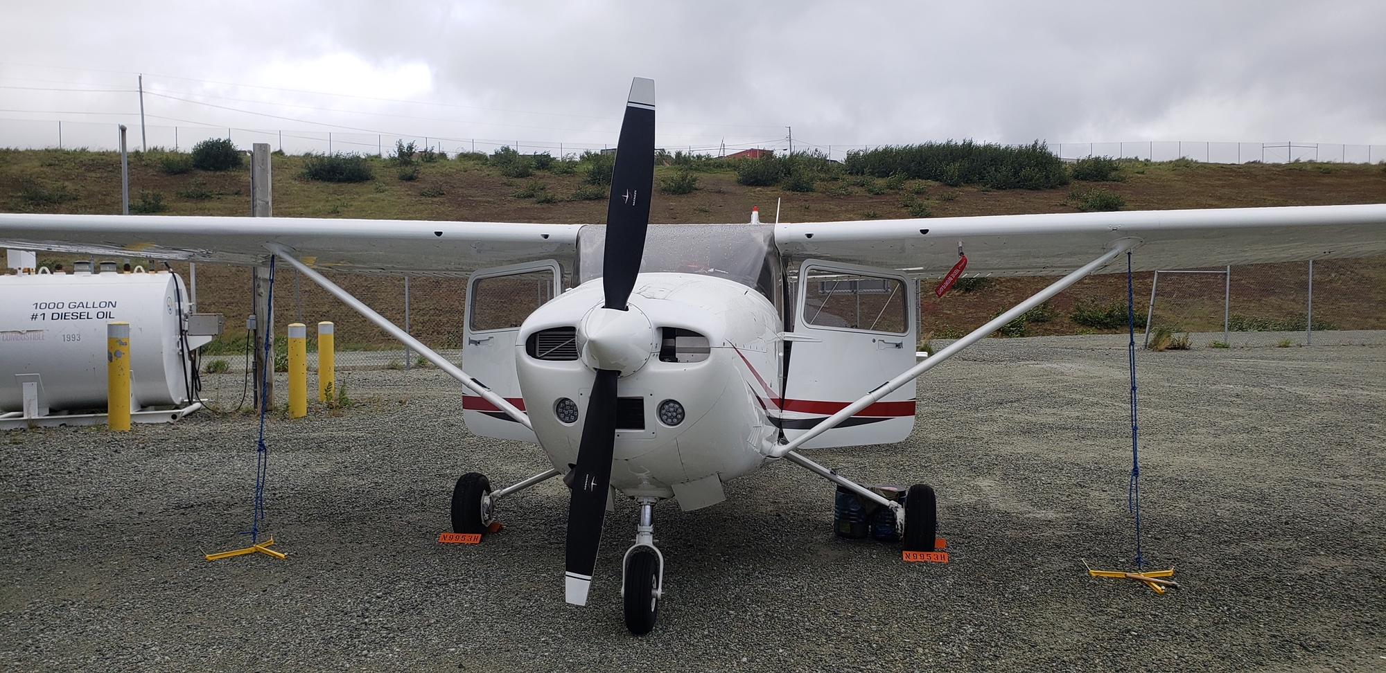
At Birchwood we dropped into Airframes Alaska to purchase four 5-gallon flexible fuel containers, which would be a valuable tool once we were up in northern Canada. They’d take our “maximum fuel on board” to just over 130 gallons. Shopping done, we hopped down from Birchwood to Merrill field to fill up on reasonably priced gas, and then departed west and flew down the western shore of the Cook Inlet.
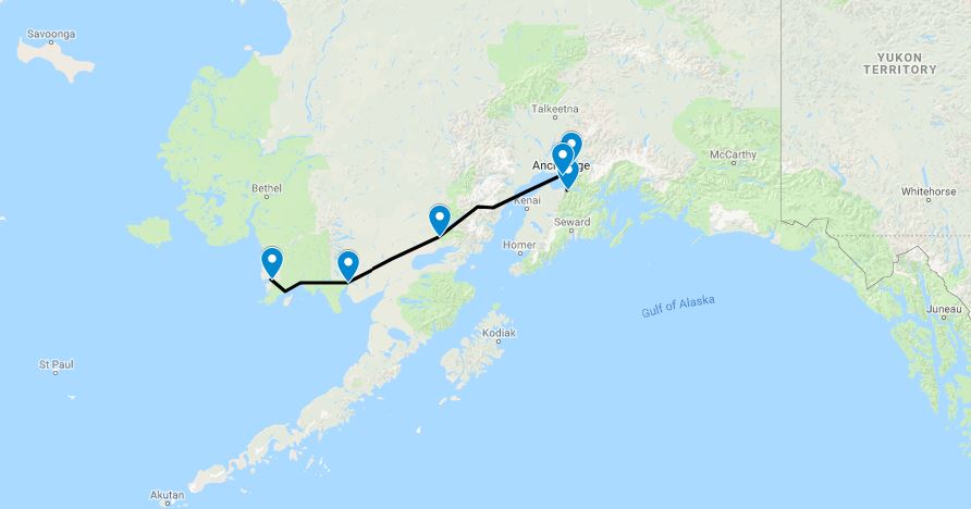
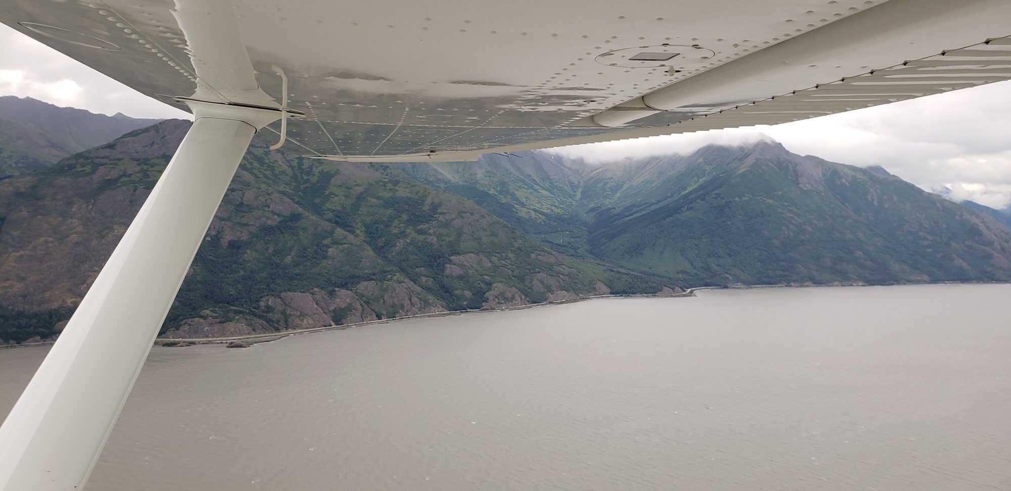
From listening in to other pilots discussing the weather on the general frequency, we elected to have a go at making our way through the Lake Clark pass. This is a shortcut through the mountains that fringe the western side of the Cook Inlet and is, as it turns out, incredibly beautiful.


We were quickly over the highest point of the pass and following the river down towards Lake Clark. We skimmed up the lake at a few hundred feet, passing a float plane heading in the other direction, and stopped off in Nondalton to stretch our legs.
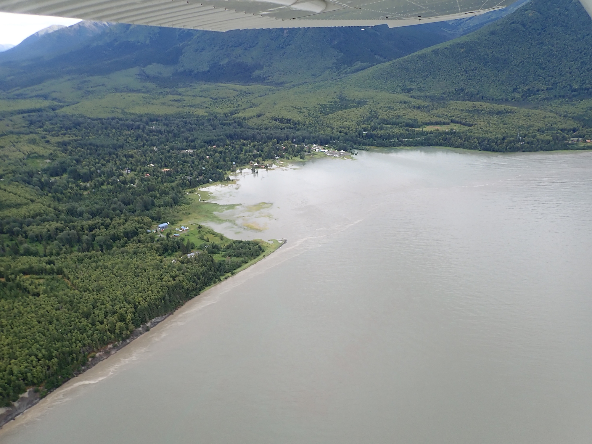
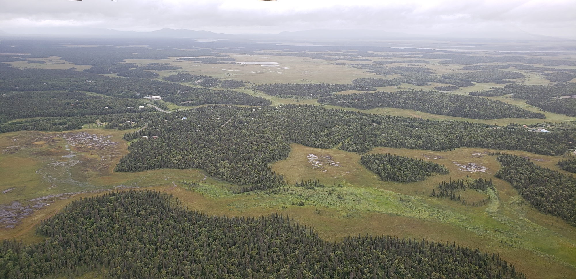
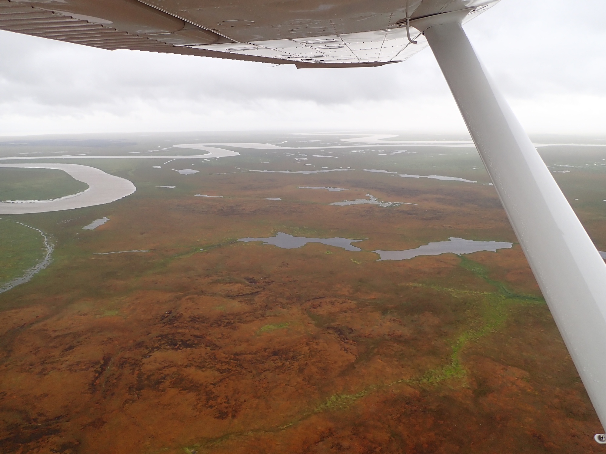
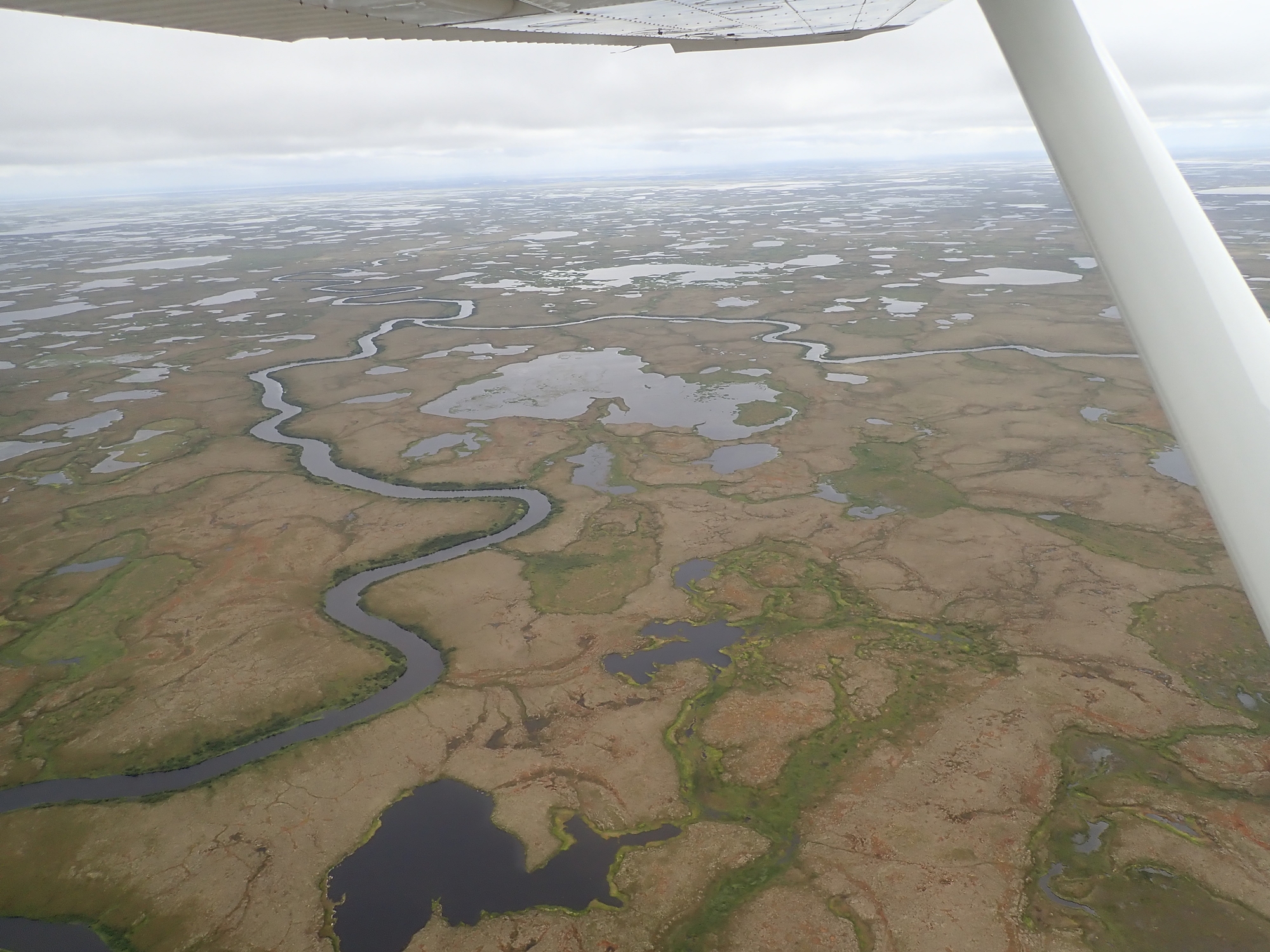
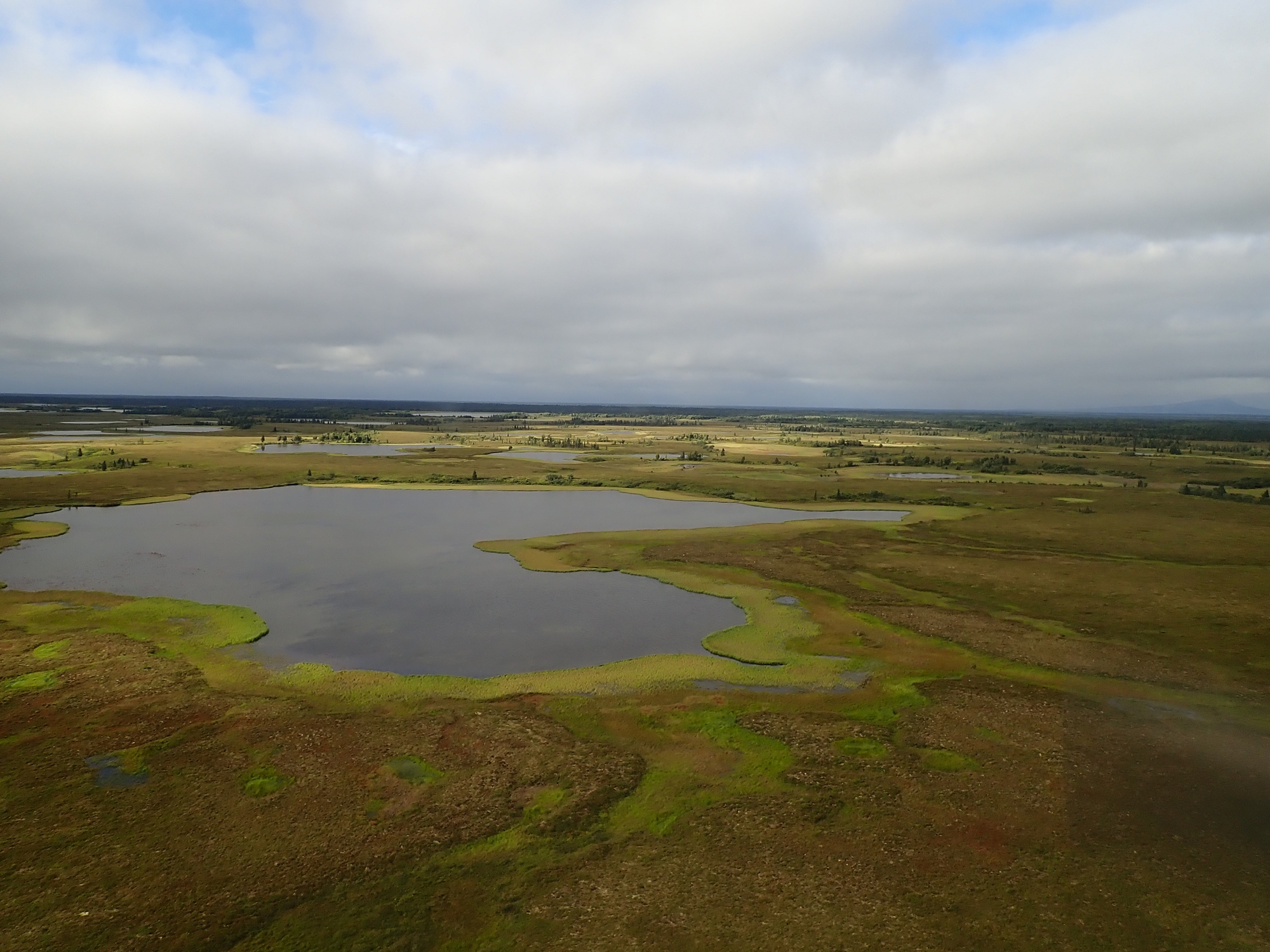
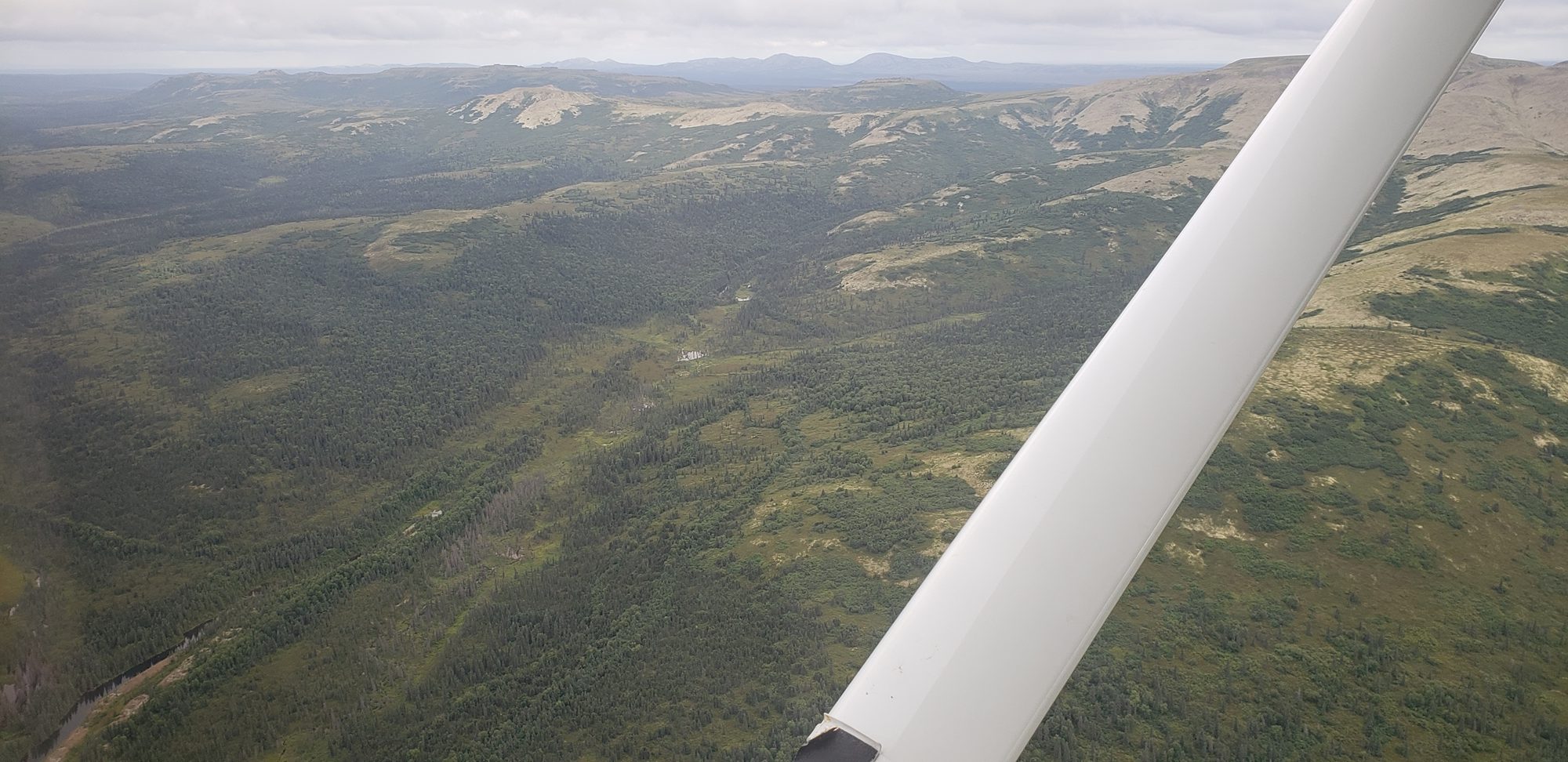
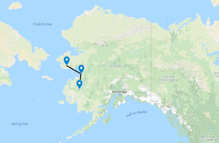
From Nondalton it was a couple of hundred miles across low marshy terrain to Dillingham, where we stopped for fuel. We still had hours of gas on board, but in Alaska it seemed wise to fill up at any opportunity. The weather was getting windier as we went, primarily a headwind, but ceilings remained manageable with the low terrain.
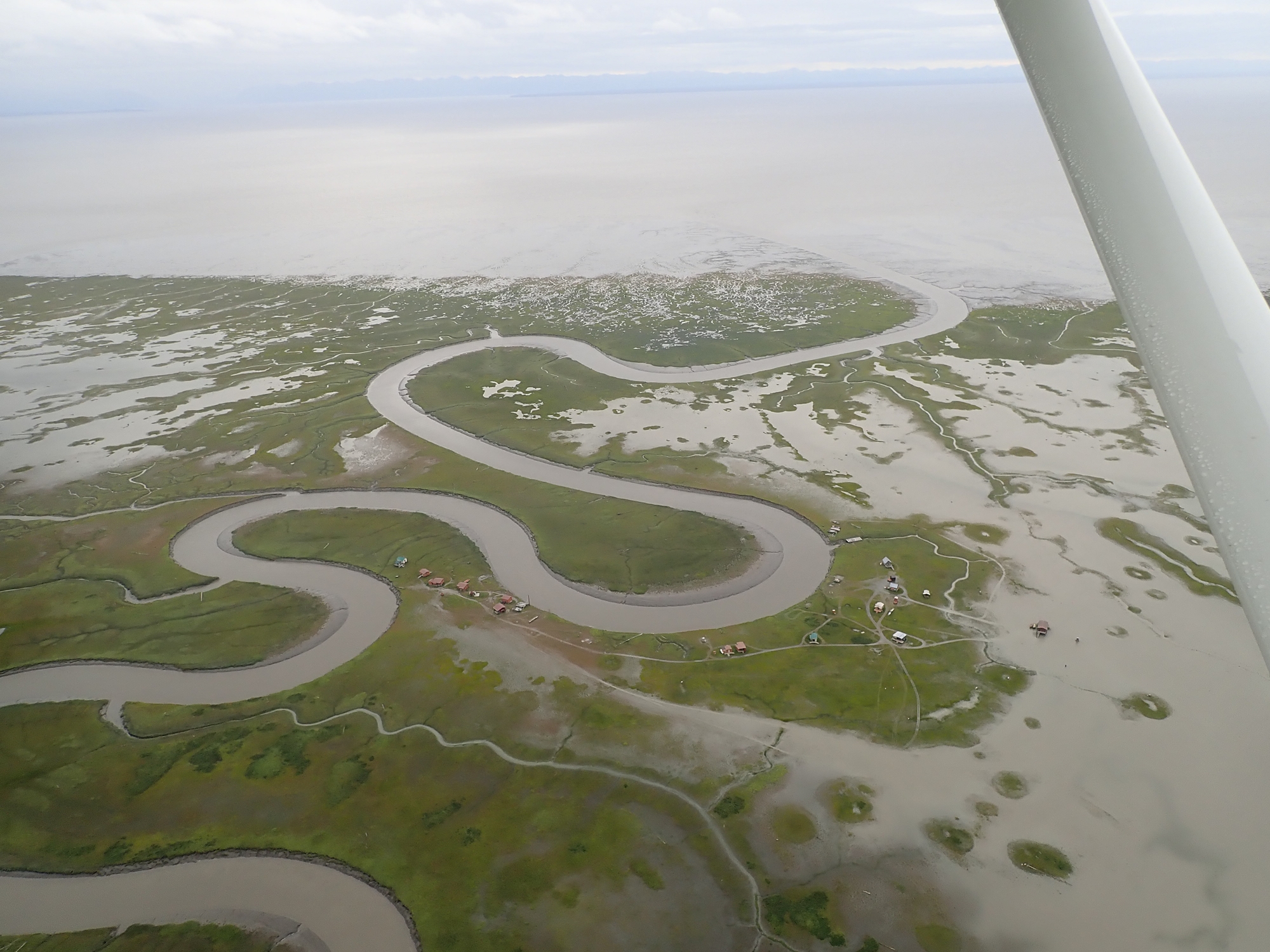
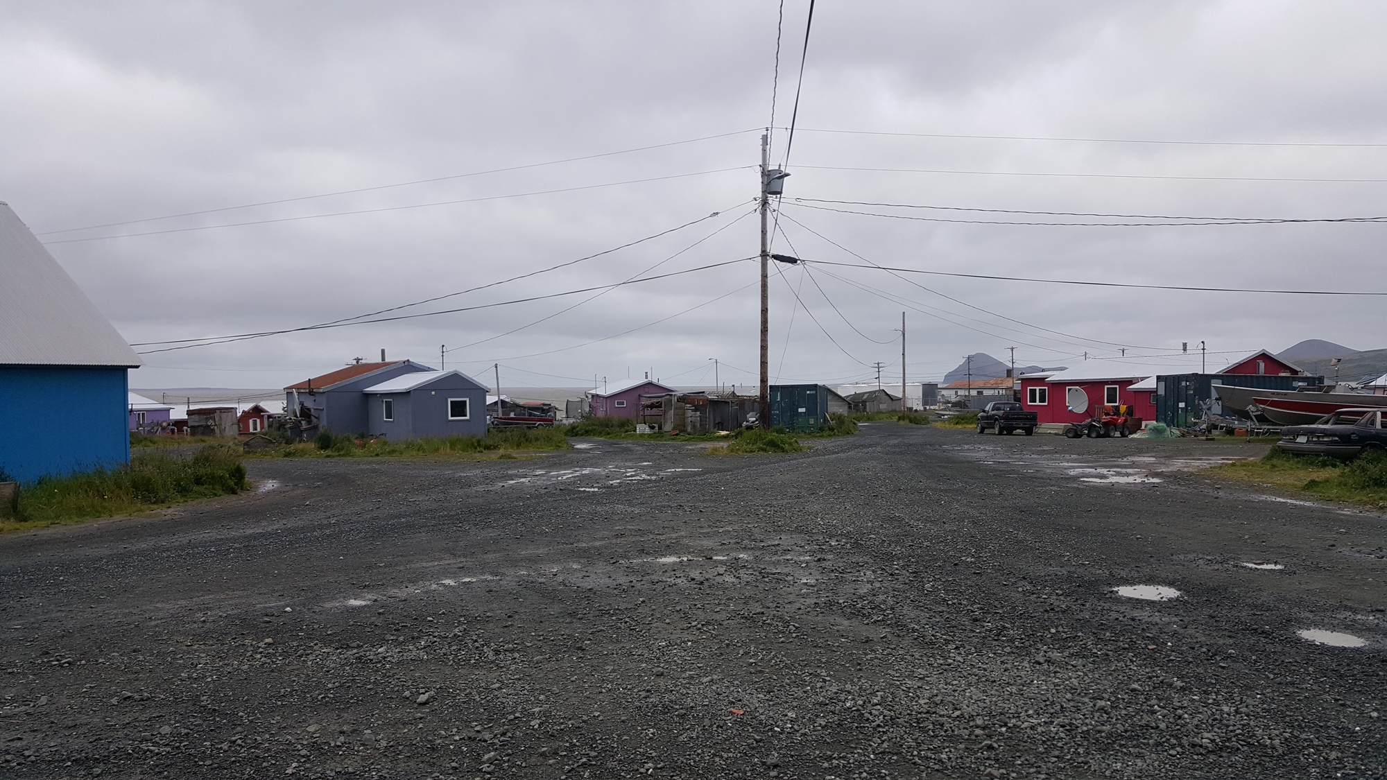
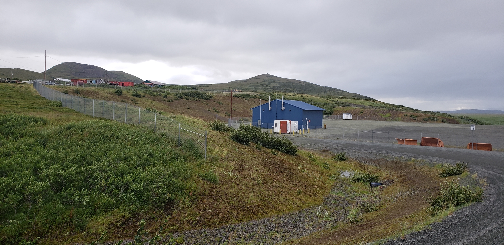
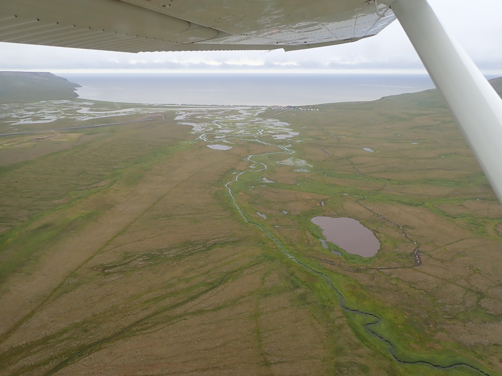
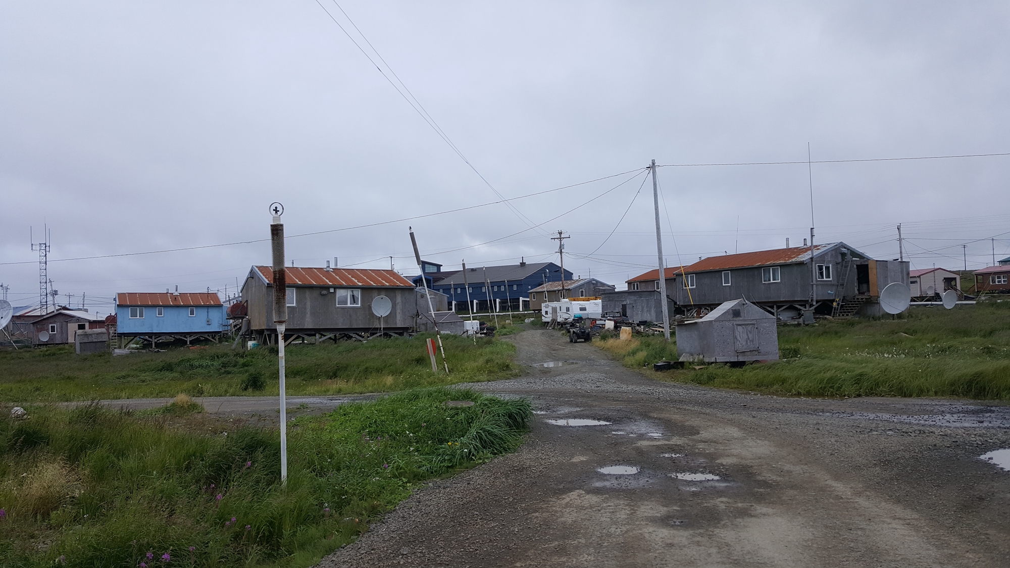
Dillingham was not a welcoming place. We didn’t interact with a single person, although cargo handlers were buzzing around. There was no obvious way to leave the airport, let alone get into town, so we just fueled up and pressed on. From Dillingham we elected to fly one more leg before finding somewhere to camp out for the night. We followed the coast before cutting inland a little to get to the village of Goodnews. The wind was 40-50kts by now, straight down the runway.
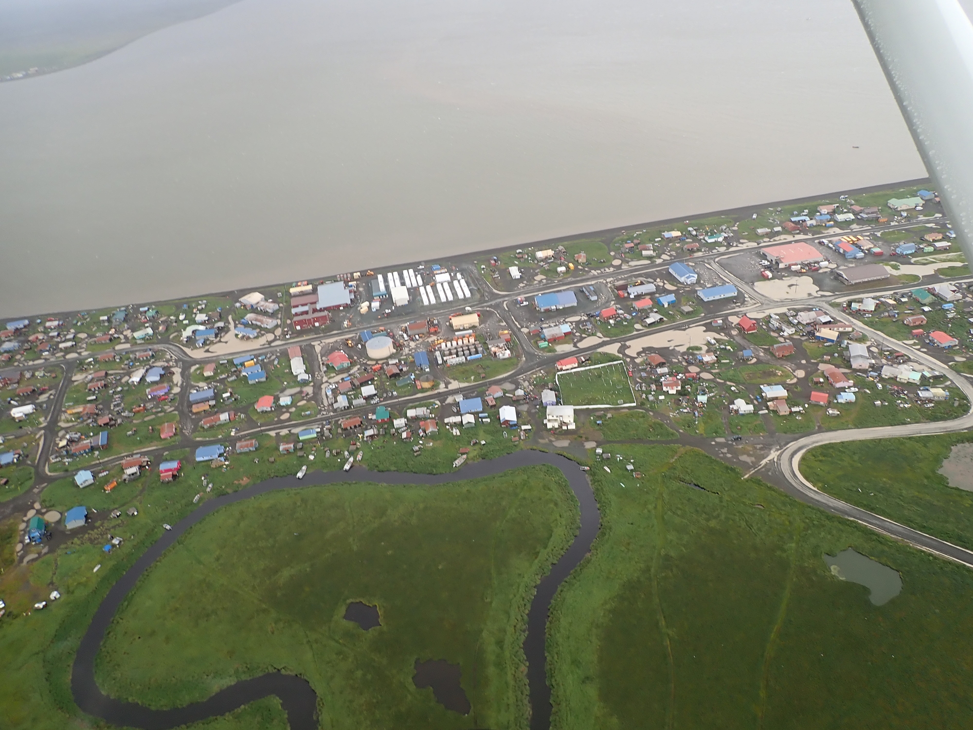
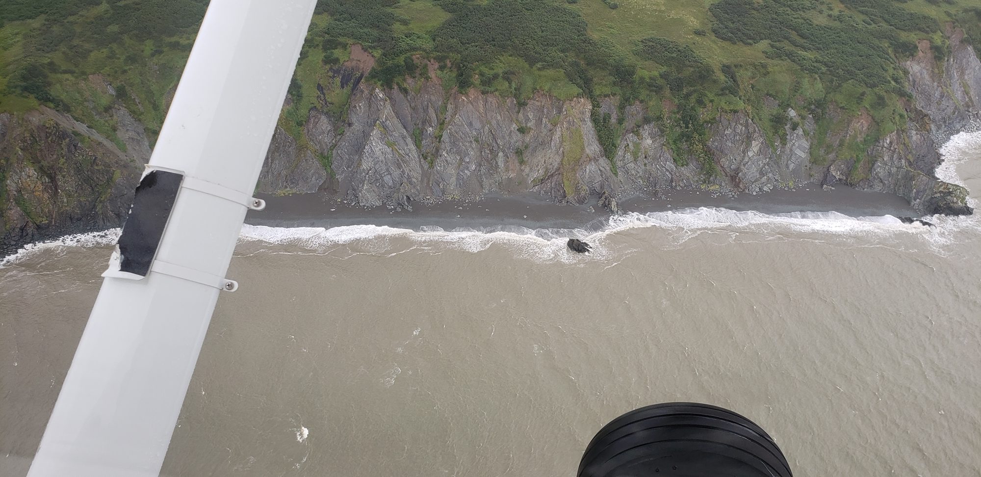
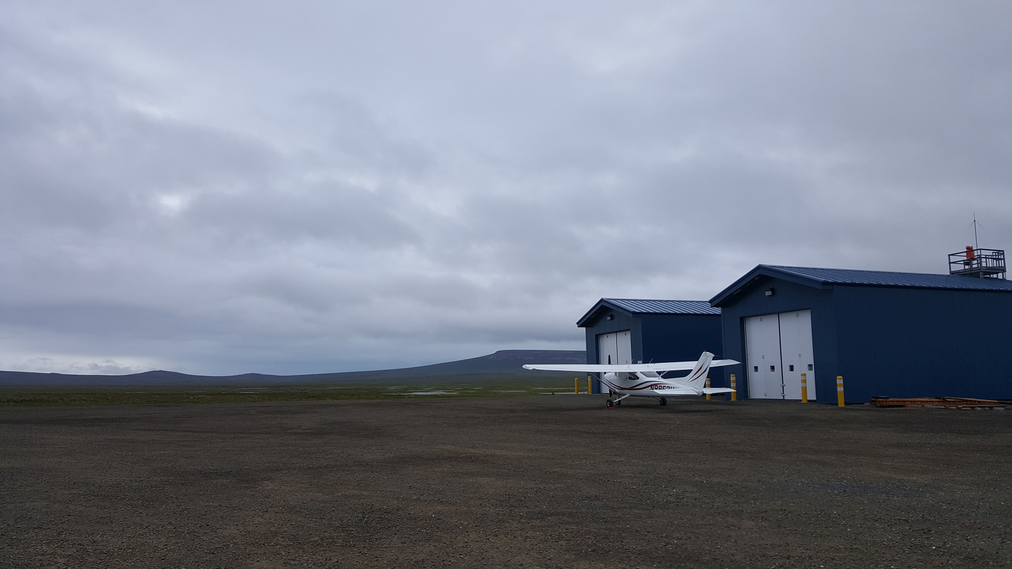
We arrived in Goodnews just after a commercial light twin. He was kind enough to use his phone to look up weather information for us; things would not be getting any less windy any time soon. There were no tie-downs; it seems that the majority of airstrips in Alaska once you get away from the main population centers are not equipped for visiting light aircraft, only commercial operations. We ended up parking the airplane tucked in as close as possible behind the snow-clearing equipment building, and tying down using our “Claw” tie-downs. We pitched the tents in the same, limited shelter and cooked dinner on the stove before settling into the tents as early as possible and listening to the wind and the rain howling outside.


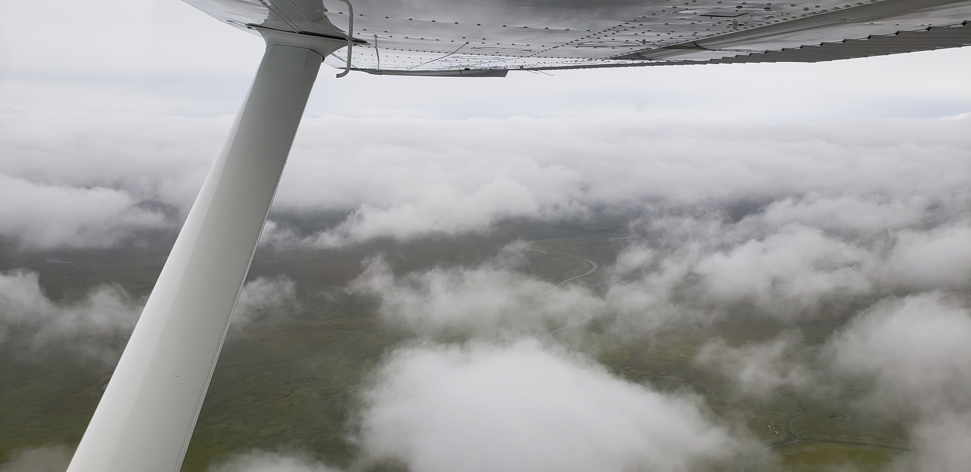
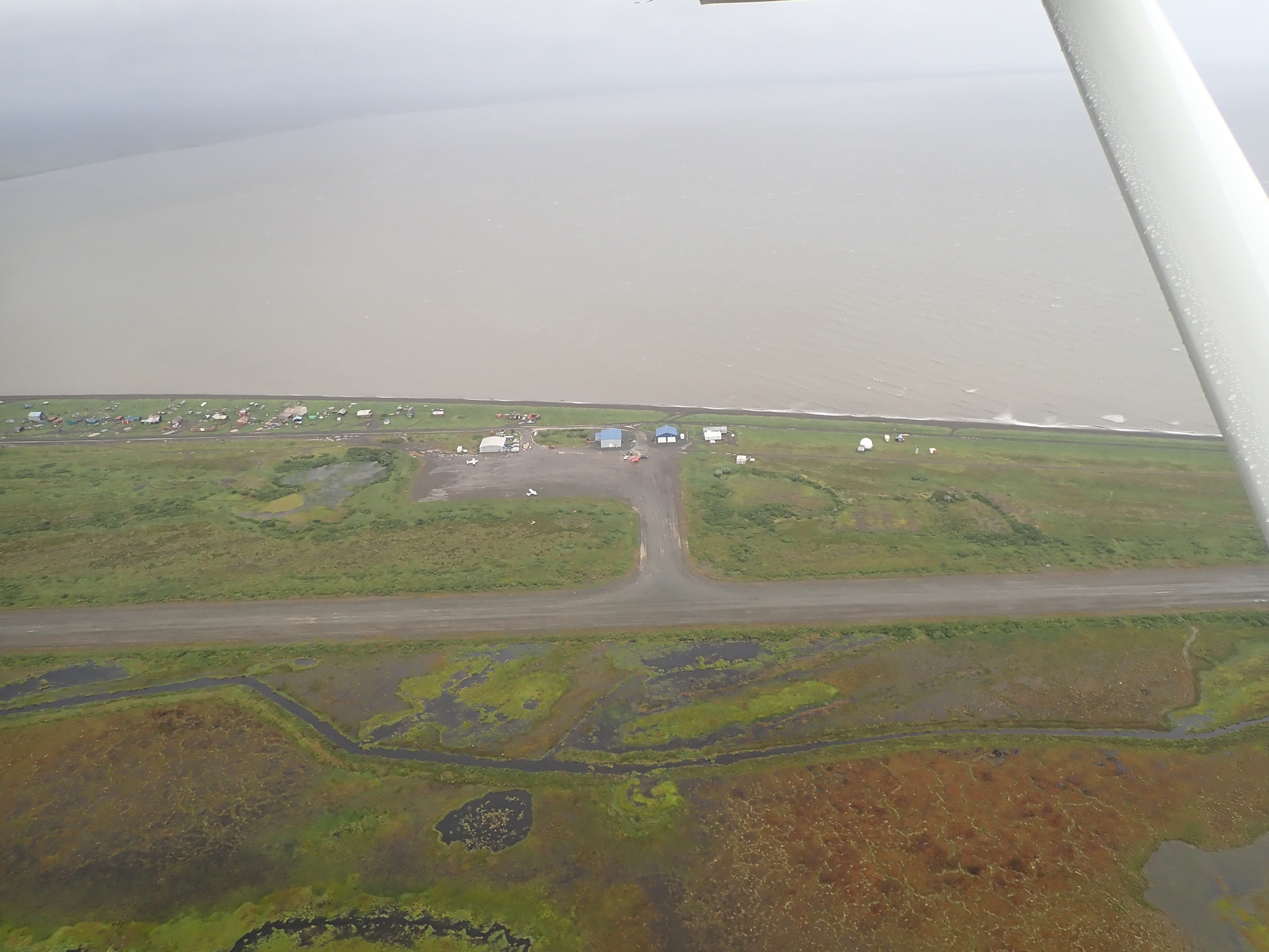
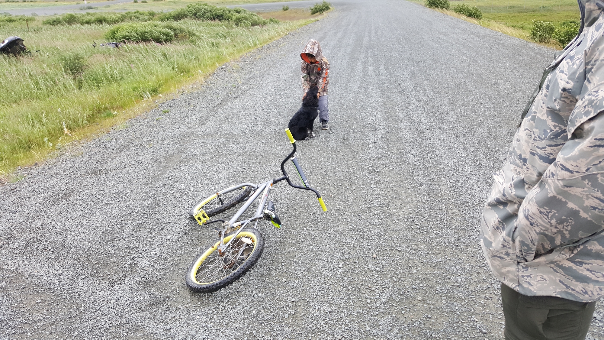
The next morning, the weather was much improved; cloud-base was up to maybe 800ft, and the wind was down to 25kts or so! There was no phone service at all, but I had managed to use the InReach to get hold of TAFs and METARs (aviation weather information) along our planned route. We took a walk into town first, meeting a resident who was out for a walk with his grandson and the kid’s puppy, Popcorn.
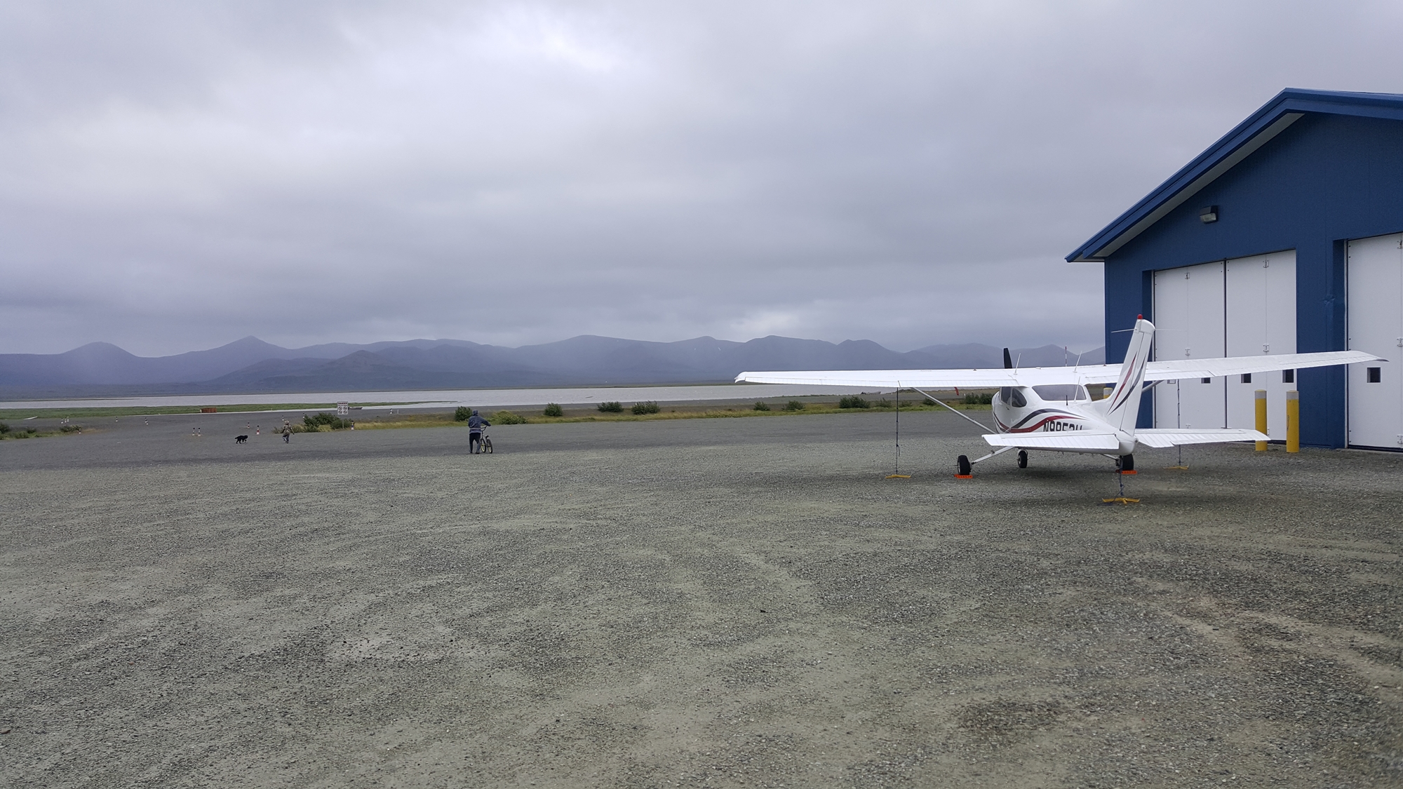
The first flight of the day was short hop over to the town of Platinum. On landing we were met by a very friendly native gentleman who invited us back to his house for coffee; we rode off on the back of his 4-wheeler. We met his family and spent an interesting hour listening to his stories of life in coastal Alaska. Coffee finished, he gave us a ride back to the airstrip and waved us off on our next flight.


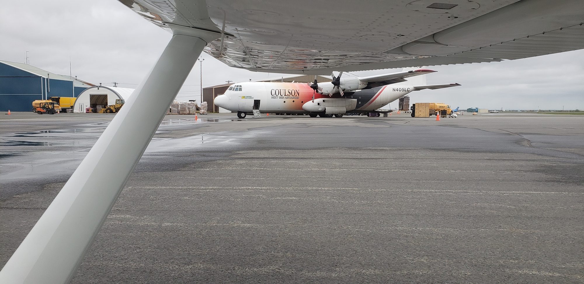
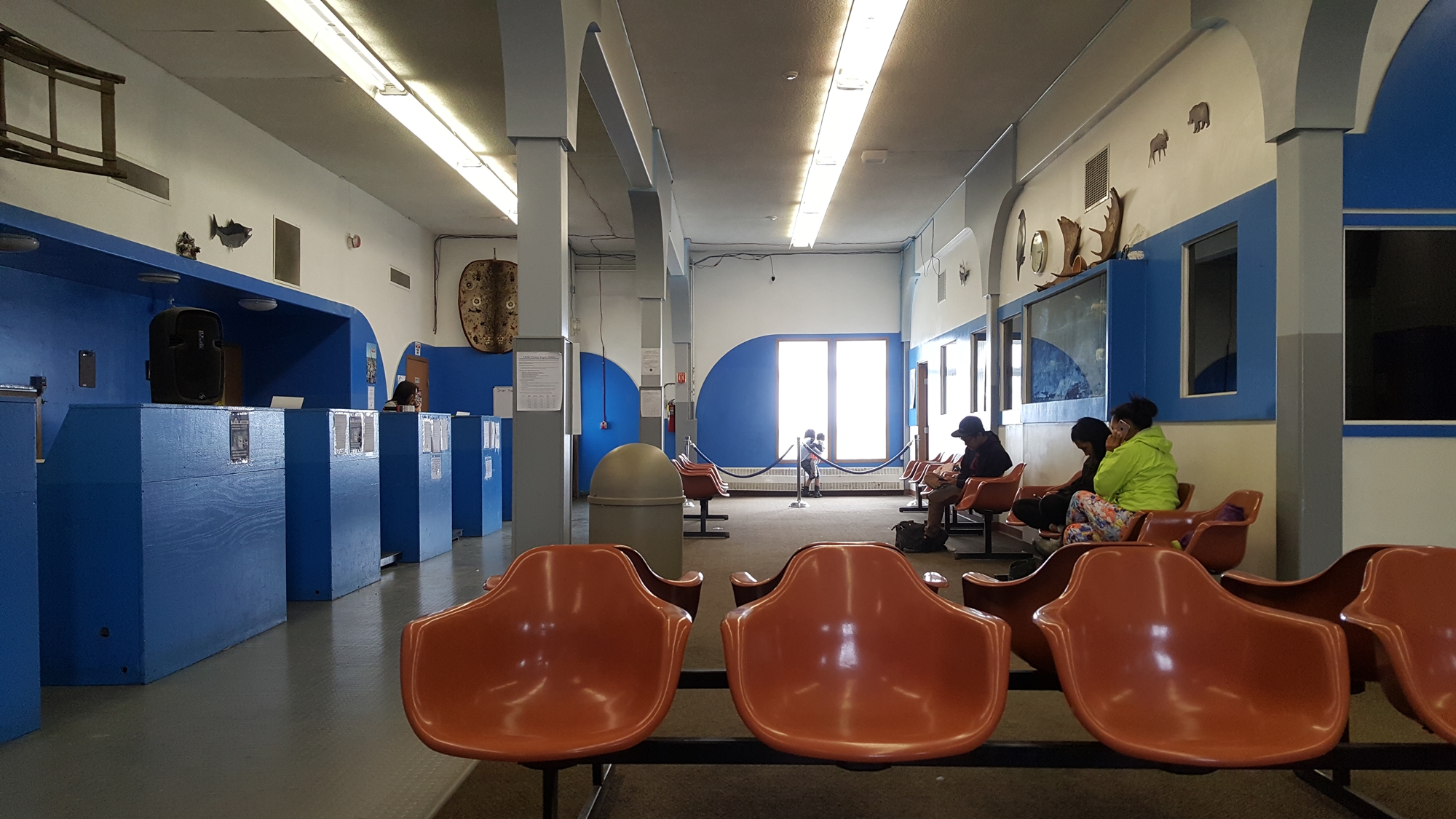
We flew north along the coast to the town of Eek, where we stopped and made some breakfast. The only real reason for stopping was that it had a fun name. From here we continued to Bethel (or Beth-hell, as it was described by a local pilot we’d met). We had to search around a bit to locate the fueler, but eventually managed to fill up with expensive gas, followed by a bite to eat in the terminal.
From here we decided that we’d like to go to Mekoryuk and set out west. Along the way we took a better look at the map and realized that if we continued with our plan, we’d end up busting straight into the ADIZ, with potential associated complications (getting shot down, for example). We decided that we’d both be very happy to visit Tununak instead.
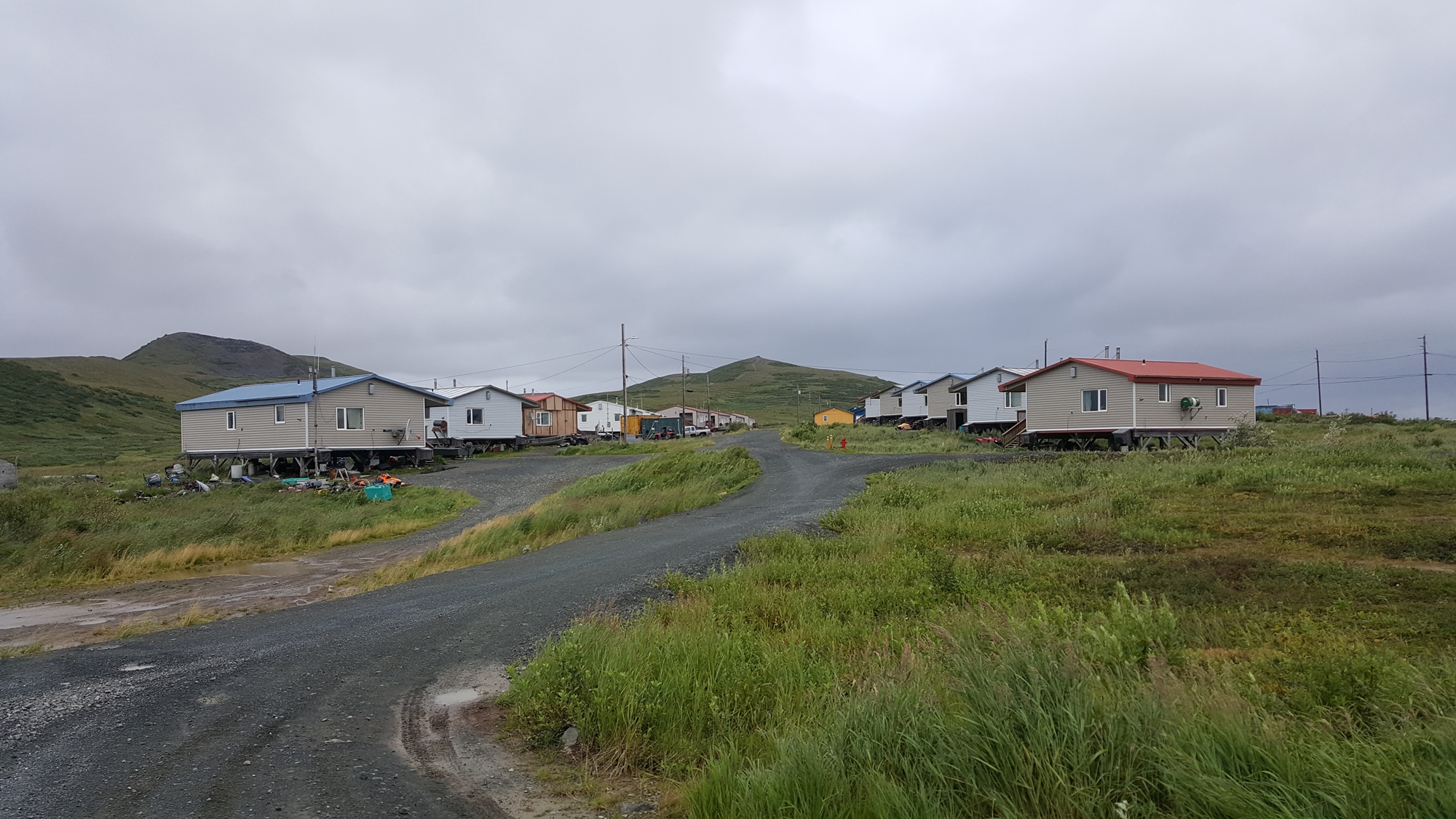
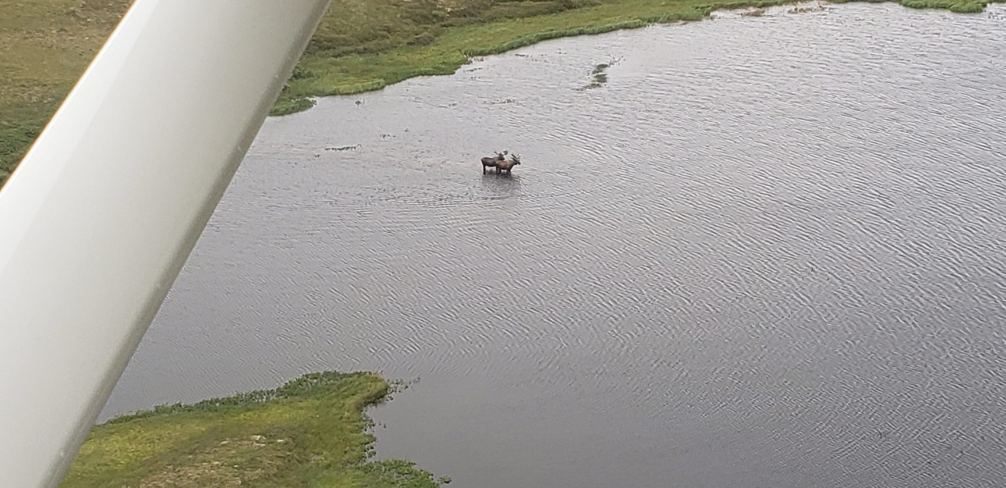
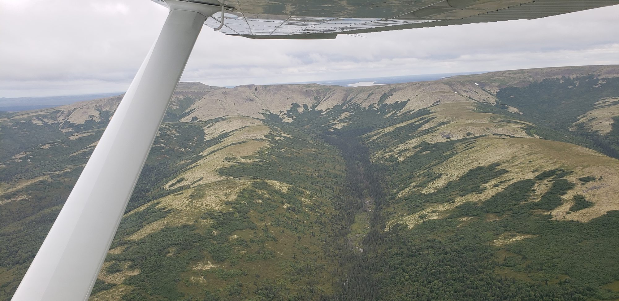
It was clear from every village we visited that the government has poured a lot of money into the villages; lots of fancy new buildings and facilities. The school was usually the biggest and most impressive structure in any given village. At Tununak James decided he’d had enough of coast for a while and I was inclined to agree, so we set out inland towards Marshall Hunter. James’ keen eyes soon picked out a couple of moose in a lake; how exciting! We descended a bit, circled (making sure not to get too close), and generally enjoyed things. Turns out we probably overdid it, as over the next 100nm we saw at least 50 moose. This was clearly good moose country.
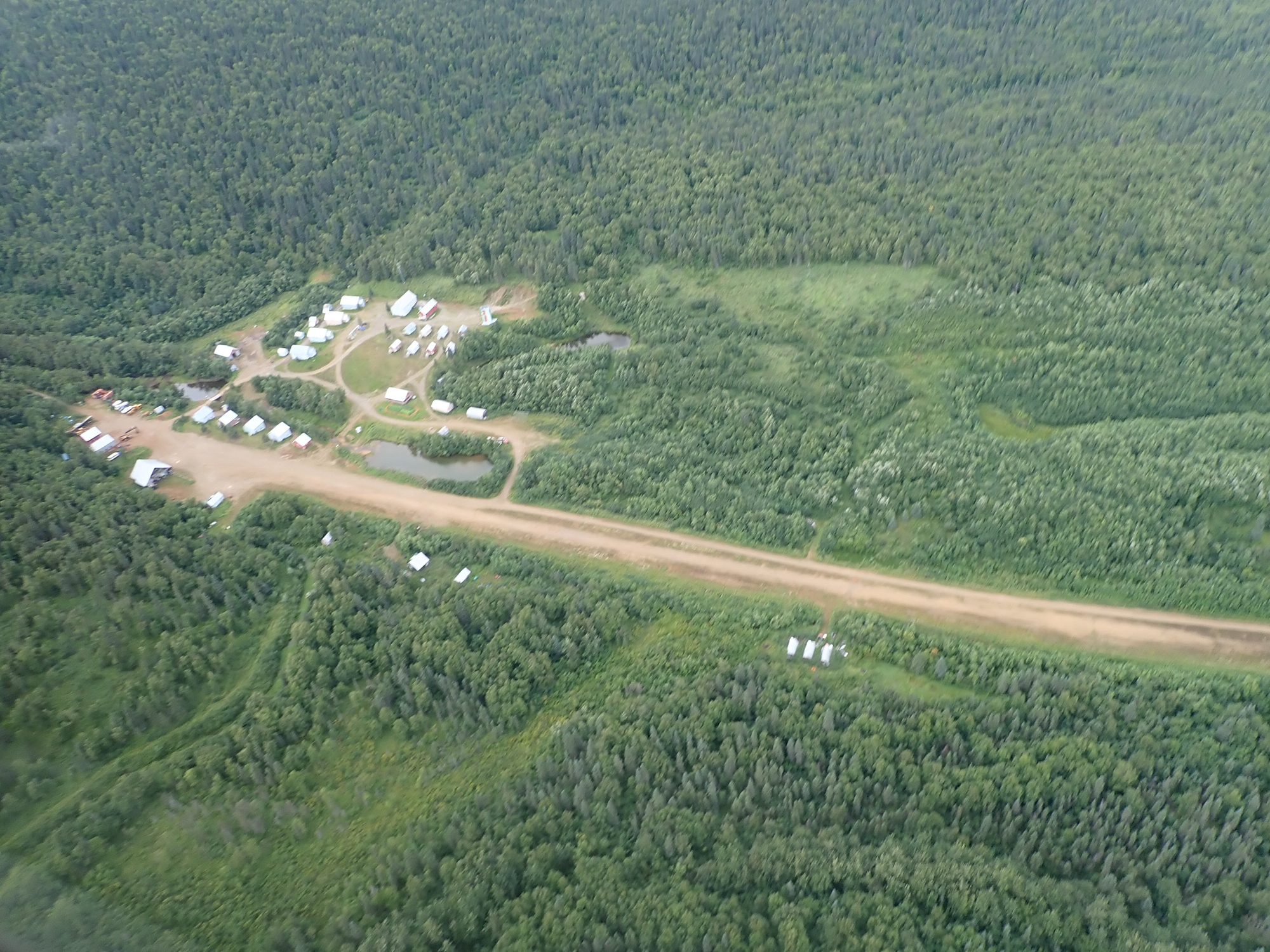
At Marshall Hunter, we ran into Jonathan. He owned a retreat center over the hill that had been started as a gold mine, but was now used for kids camps and other retreats. He’d flown over in his Cessna 206 to bring some bedding to a couple of guys in town whose own bedding had been struck by bed bugs! We spent a while chatting, before he invited us to join him back at Kako. He gave us a thorough briefing about his one-way-in, one-way-out strip with a bend in the middle, and off we went, following him in his 206. I watched him land, and then followed him in.
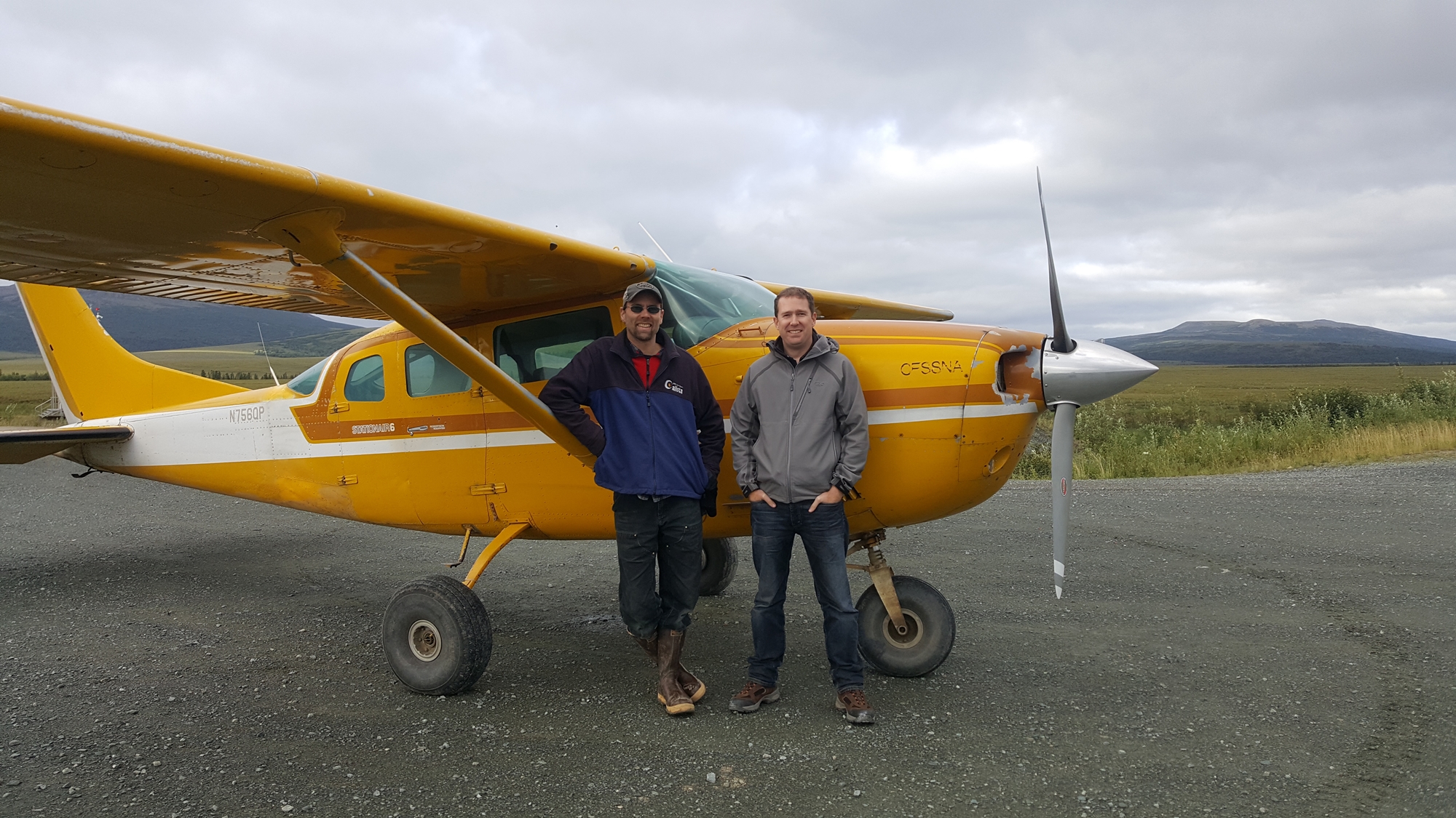
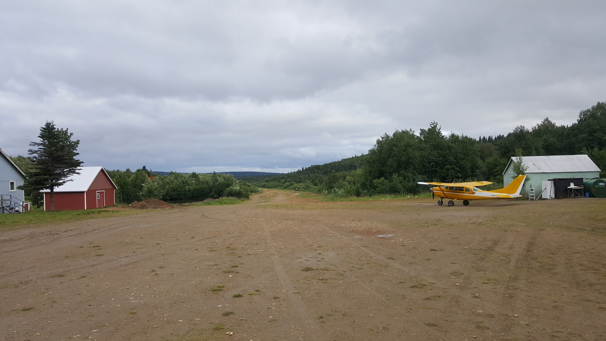

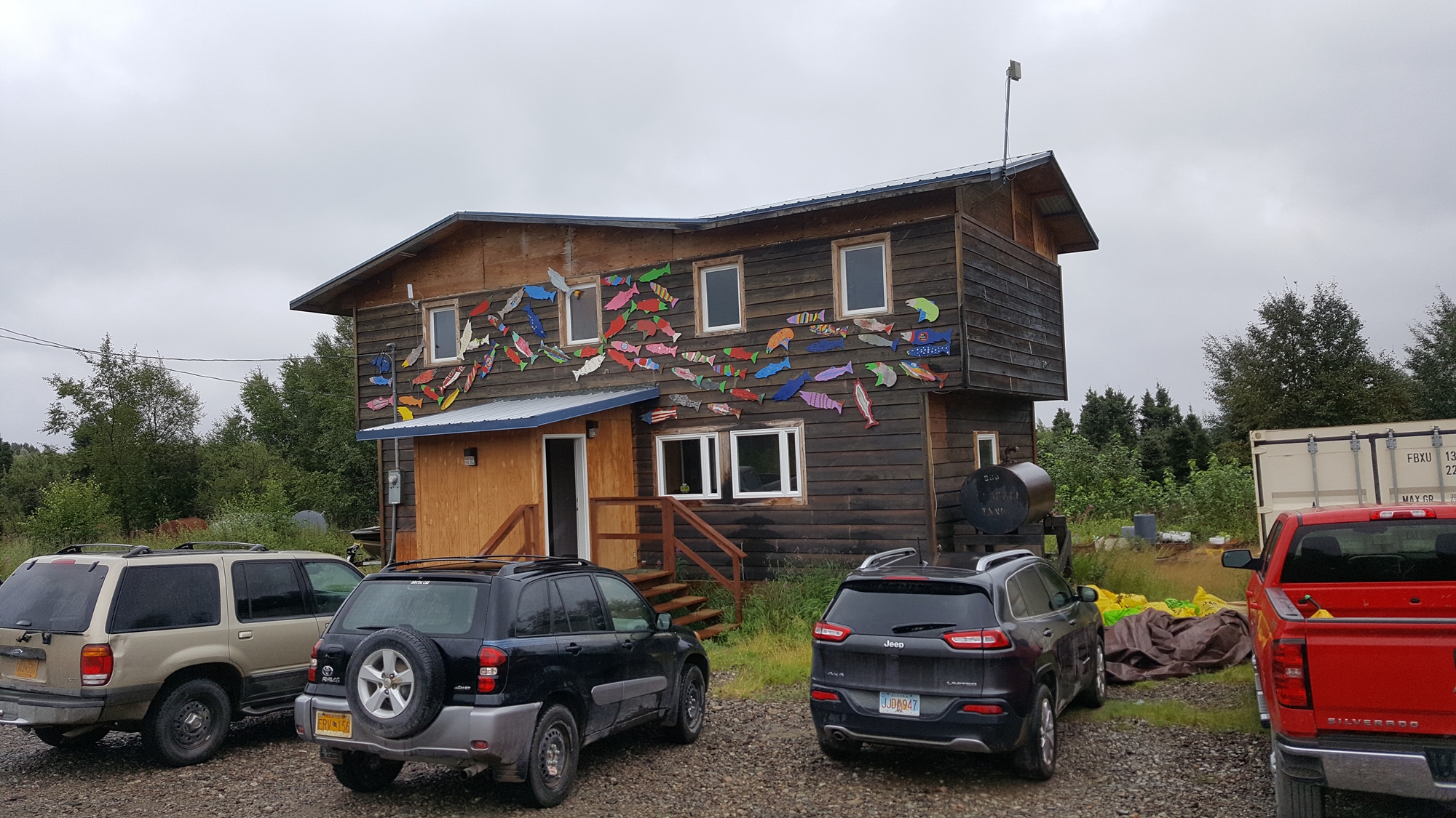
Jonathan gave us accommodations in the pilot house, appropriately. After a couple of nights camping rough it was good to have beds, and a shower! That evening we enjoyed visiting with Jonathan and his wife and son, learning about the history of the mine-turned-retreat and the challenges of running a remote camp like this deep in the Alaskan interior.


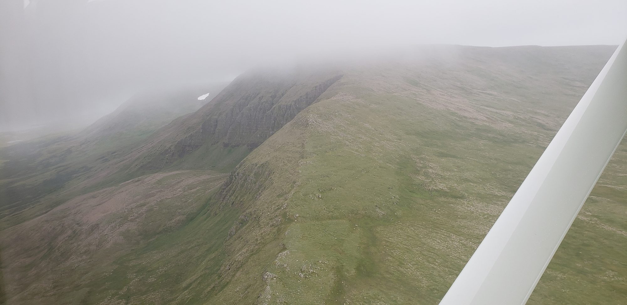
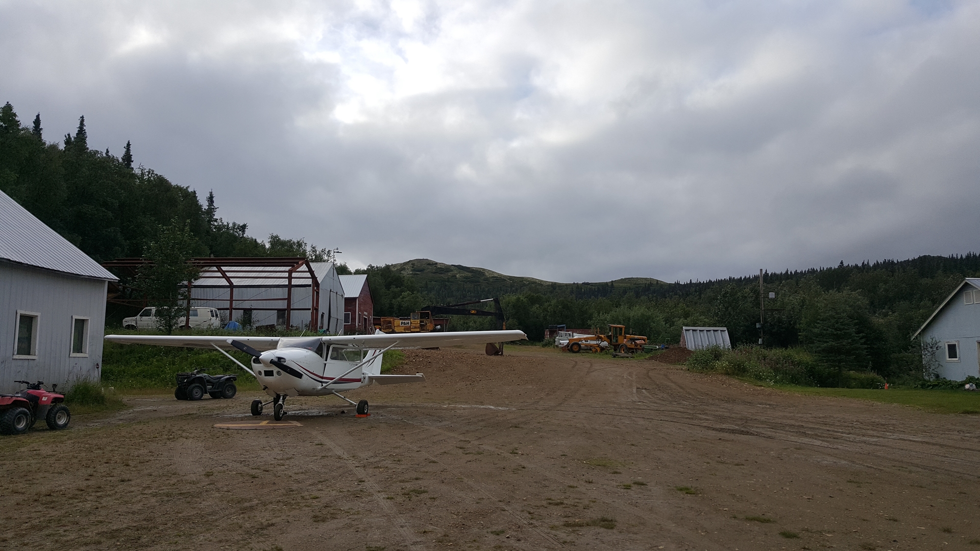
In the morning we explored the camp, starting off with a hike up to the top of the hills surrounding it. The trail set out past a collection of abandoned heavy vehicles that had somehow been shipped in during the mining days. After a couple of wrong turns we made our way to the very peak, with stunning views in every direction.
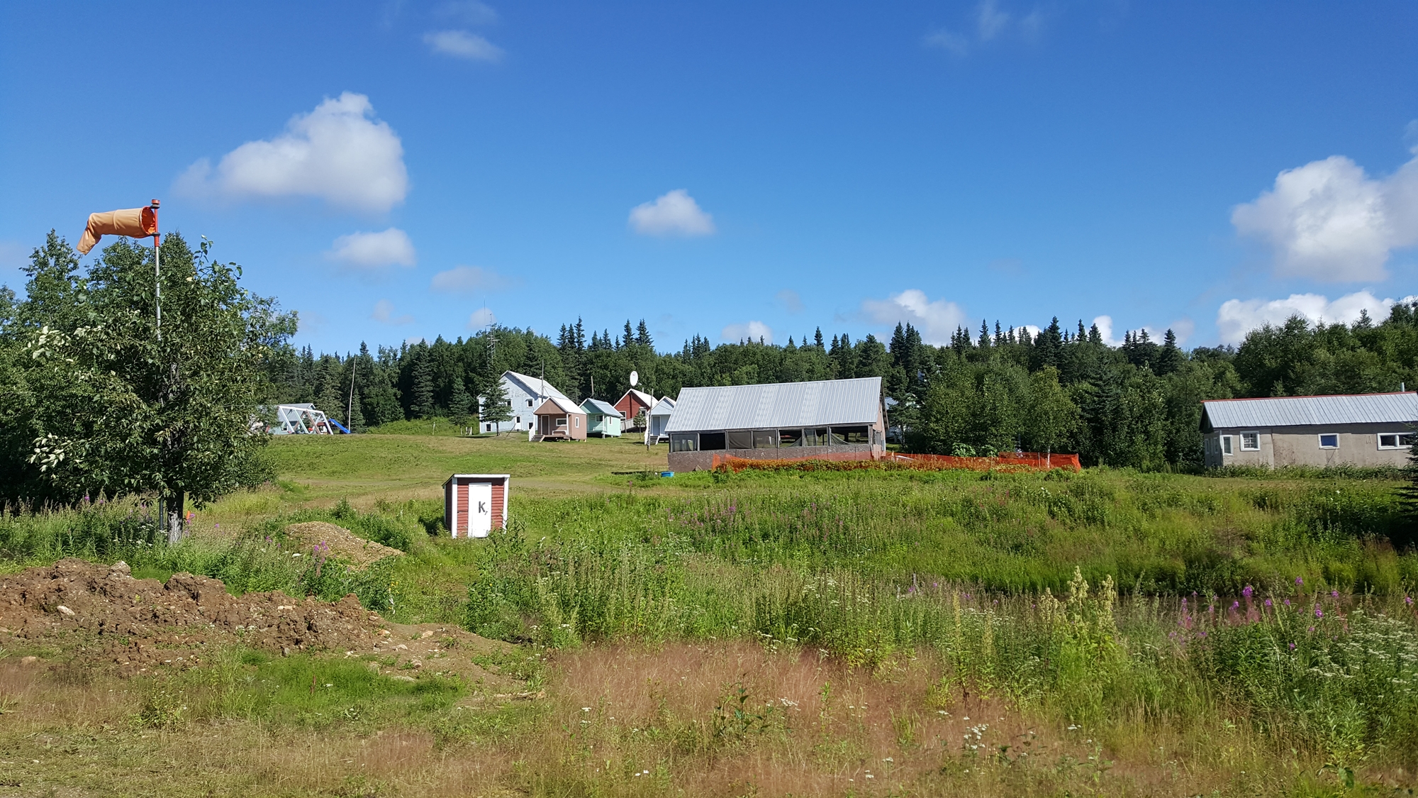
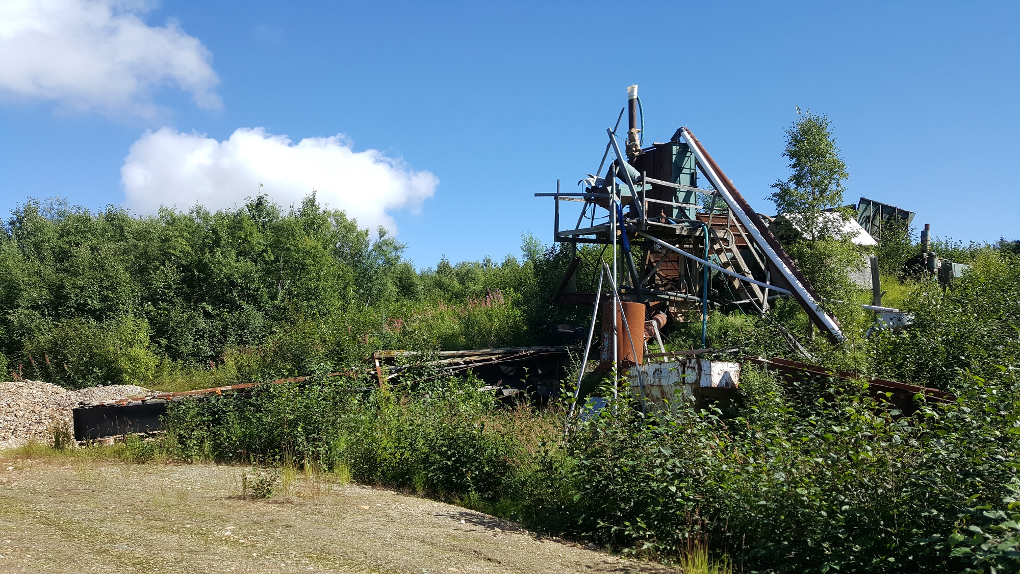
Returning to the camp we checked out the abandoned gold mining equipment and enjoyed a tour of some of the main buildings before taking off and heading north to Unalakleet.
Click here to read the next part of the story.