Round the World – The Pacific, Part 13
Although I had planned a flight for the next day, it was to be a short one; a hop across southern California to the mountain town of Tehachapi. I slept late, and after waking Dad and I drove out for a true American breakfast at the International House of Pancakes. Now well fed, we returned to the hotel and made our way to Planey to prepare for the day’s flight. The first task was to open up the empennage and remove the final section of the HF radio, the antenna tuner.
We loaded up and taxied across to the FBO on the other side of the airport to drop off the HF radio equipment. Parked up outside were several ex-military F5 fighters and naturally we walked over for a look. The men hanging around near the jets were very welcoming and offered me a chance to sit in the cockpit of one aircraft. The avionics were extremely impressive, all modern glass panel instruments! The little fleet was employed as “aggressor” aircraft for military training and research, playing the part of the bad guys against national militaries in exercises.
Departing from Santa Maria we struck out across the coastal hill ranges and the lush central valley of California. This valley covers about 11% of the state’s land, and produces more than half of the fruits, vegetables, and nuts grown in the United States. Much of it is irrigated by a network of canals and ditches, no doubt contributing to the seemingly continuous state of water shortage that the US southwest seems to exist in.
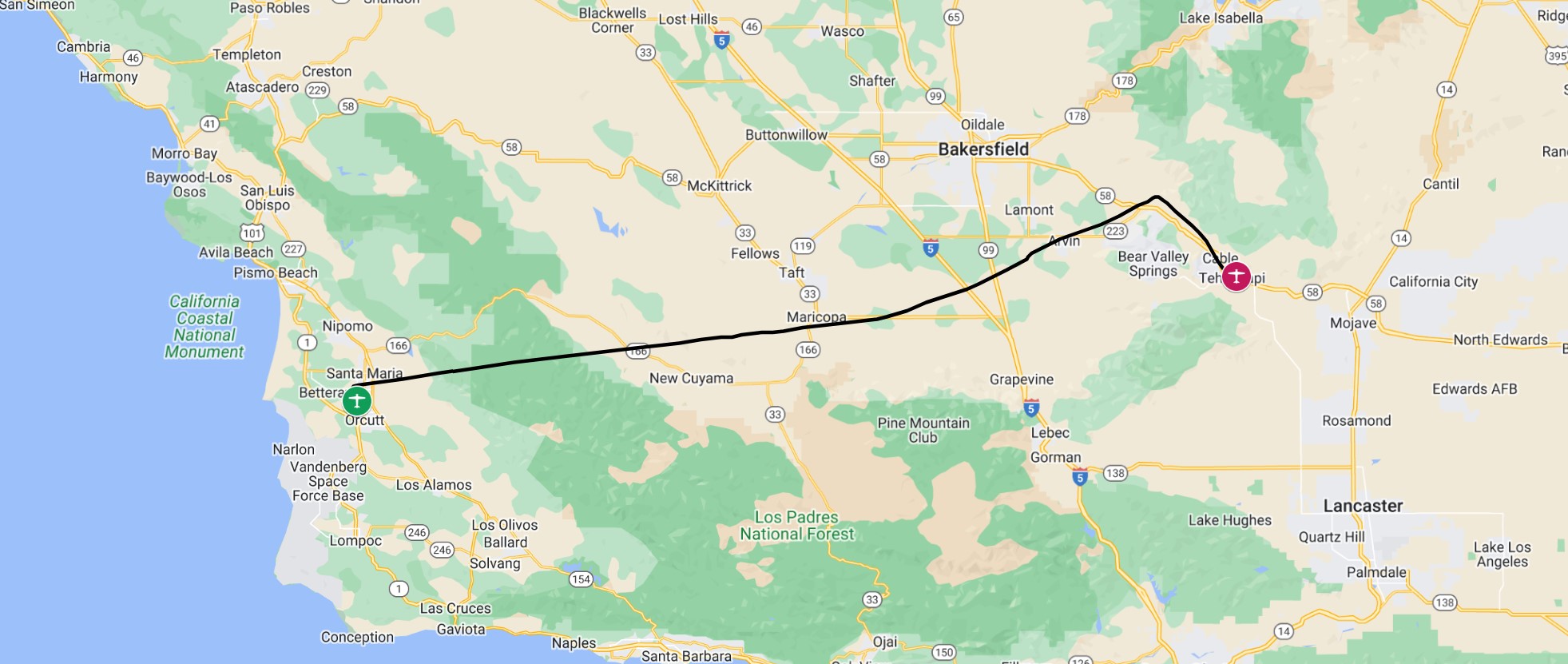
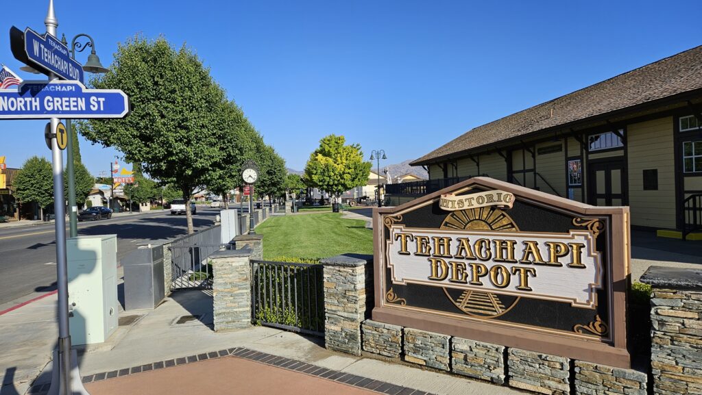
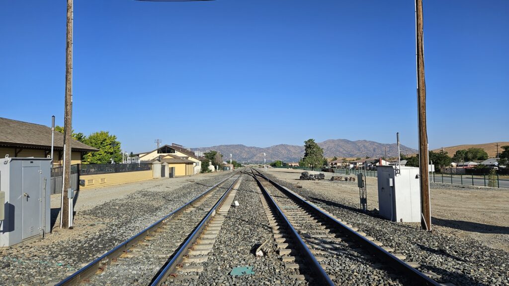
It didn’t take long to cross the central valley and we were soon approaching the western slopes of the Sierra mountain range. We climbed into the hills through the valley which leads to Tehachapi, along which the interstate and rail line runs. One of the main reasons for coming this way was to show my father the impressive Tehachapi loop, a full 360 degree loop in the railway, built to keep the rail gradient acceptable, and where trains pass over their own back ends as they climb up into the hills. I entered the traffic pattern at Tehachapi on a left downwind, curving round on base leg to land towards the west.
We refueled at the self-serve pumps before parking up in the visitor parking area and securing Planey. Tehachapi airport has a great campground, and is one of my favourite fly-in destinations, but our lack of camping equipment meant that we’d be walking into town to find a hotel on this occasion. On our way we stopped off at Kohnen’s bakery for a sandwich. The rail museum next door was not open, but we could still enjoy the spectacle of the occasional enormous freight train chugging through town directly behind the bakery.
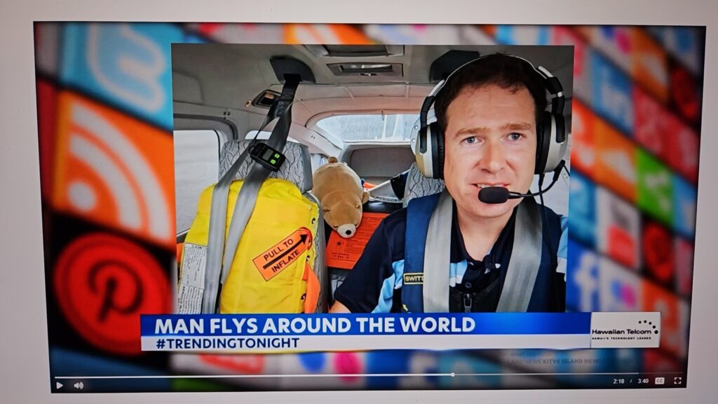
It was a quiet afternoon, during which I corresponded a little with a Hawaiian TV channel who’d seen news of my flight posted on Facebook by Hilo pilot Scott. They wanted to include a short segment about the trip during the night’s news broadcast. After providing them with some details and photographs Dad and I headed out for dinner. We found a steak restaurant, Jake’s, which turned out to be one of the best I’d ever visited. Well worth a return to Tehachapi just for that!
It was an early start the following morning. The reason that I had chosen Tehachapi for the overnight was its proximity to the Mojave Air and Space Port. This facility hosts the National Test Pilot School where my friend Jeremy, who I had first met in Brisbane, was now working. He had invited us to fly in for breakfast and a tour of the school. We walked from the hotel through Tehachapi to the airport and launched into a calm, clear morning for the short hop over the hills to Mojave.
Jeremy had given me instructions on where to park on arrival – right outside one of the main hangars! As we parked up he strolled out to meet us. It was still very early in the day so we decided to start off with a tour of the aircraft hangars before heading over to the diner for breakfast. Our first destination was the helicopter hangar, which contained a handful of modified and heavily instrumented ex-military and civilian helicopters.
The National Test Pilot School is one of only a handful major civilian test pilot schools in the world, all modelled after the original Empire Test Pilots’ School in the UK, and is the only civilian test pilot school in the US. The school was established in 1981 and moved to Mojave in 1986. These days they train between 10 and 30 pilots a year on their year long flight test course, along with 200 to 300 students on shorter, more focused courses. Jeremy had come here from Australia to work as an instructor in flight test engineering.
After checking out the helicopters we moved on to the main hangar, hosting a selection of civilian aircraft. These included a Cessna 152, a small two seat version of Planey, which had been set up for autonomous flight. A safety pilot would still ride along but the aircraft could be entirely flown by a remote operator back at the school. Also in the hangar was a North American Sabreliner, a business jet first flown in the late 1950s.
Part of the NTPS complex is a large hangar with the logo of the defunct firm “Rotary Rocket” emblazoned across it. This aerospace firm was formed in the 1990s to commercialise an idea for a re-usable, crewed, single-stage-to-orbit rocket, the Roton. This went through several iterations starting with the idea of using helicopter-style blades with rockets on the tip to lift as high as possible before traditional rockets carried it the rest of the way. The plan evolved to use the helicopter blades for landing only. A single 60 foot tall prototype was constructed and underwent three flight tests in 1999, but the project never continued due to lack of funding. The buildings were absorbed into the NTPS.
After touring another hangar, home to a collection of interesting jets, we visited the airport restaurant for a classic American brunch of pancakes and accompaniments. The cafe has excellent views over the runway and we enjoyed the sight of a military fighter jet performing some practice approaches as we ate. On our way back through the NTPS facility we checked out some of their simulators and telemetry stations before returning to Planey, saying our goodbyes and preparing to depart.
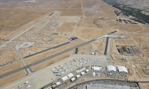
We launched out of Mojave off of runway 26, making a left turn and heading southeast towards Victorville. The reason for this destination was to see the “Boneyard” at the Southern California Logistics Airport. This aircraft storage facility covers 240 acres and can host over 500 aircraft. At the moment, it seemed quite full, with a wide variety of mothballed airliners from aircraft all around the globe clearly visible as we flew over. The dry climate is ideal for long term preservation of aircraft which may one day be put back into service.
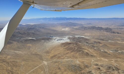
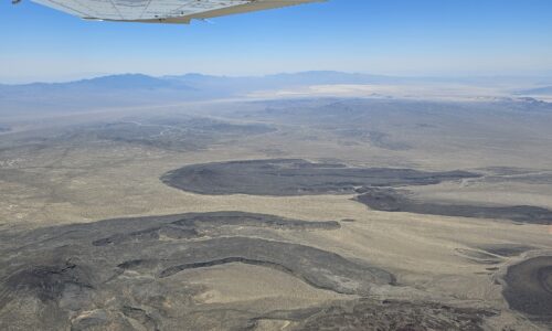
From Victorville we turned northeast, crossing the southern tip of Nevada. As we flew we could clearly see the solar power plants of the Ivanpah Solar Electric Generating System. Three facilities host a total of more than 350,000 mirrors that focus sunlight onto centralised towers, generating steam to drive power turbines generating almost 400 MW of electrical power. It didn’t take long to cross Nevada and enter Arizona on our way towards the airport at Grand Canyon West.
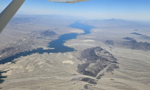
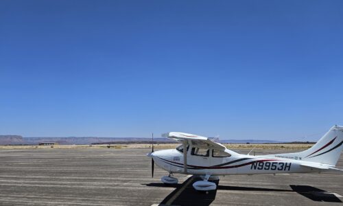
Las Vegas could barely be seen out of the pilot side window as we passed. Lake Mead, held back by the mighty Hoover Dam, was more obvious and as we continued east the lower reaches of the Grand Canyon came into view. Our destination was the airport at Grand Canyon West. This location exists purely as a base for the commercial activities of the Hualapai tribe, including the Grand Canyon Skywalk, a cantilevered tourist bridge which extends outwards 70 feet from the canyon wall. The airport services tourist transfers from Las Vegas, as well as local aerial tours over the canyon. It seemed like a quiet time as no other aircraft were moving during our approach and landing.
Despite the lack of any other aircraft on the apron, the radio operator was incapable of independent thought and mindlessly insisted that we park in the visiting aircraft section as far from the main building as possible. We took the long walk back to the visitor center which was set up to handle the hordes of tourists that are brought in by buses and mid-size aircraft. The large building was jam packed with tacky merchandise, cheap food, and desks selling tours. Even on a quiet day like this it felt crowded. We didn’t stay long and were happy to make our way back to Planey and take off for a scenic flight over the canyon on our way east.

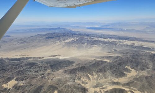
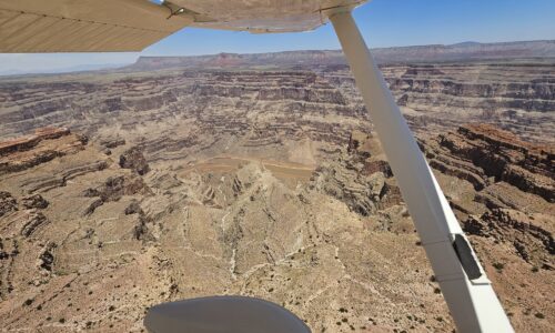
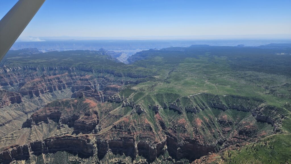
The airspace around the canyon has a lot of flight restrictions in place, to try and ensure minimum noise nuisance for those enjoying it from ground level. Given the huge size of the canyon this doesn’t limit aviation too badly, however. We planned a flight through several of the corridors that are set up through this airspace to allow aircraft to enjoy decent views, while staying away from the most popular tourist spots around the rim.
Climbing to 11,500 feet, the minimum altitude for northbound flight through the Grand Canyon corridors, we soaked in the views as we ate up more miles towards Pennsylvania. We monitored the common traffic frequencies but there was very little other traffic around. After passing north of Grand Canyon Village, the main visitor center of Grand Canyon National Park, we turned right to head southwest towards the town of Winslow, Arizona. This was the only location that my father had specifically requested we stop at on our way across the continent.
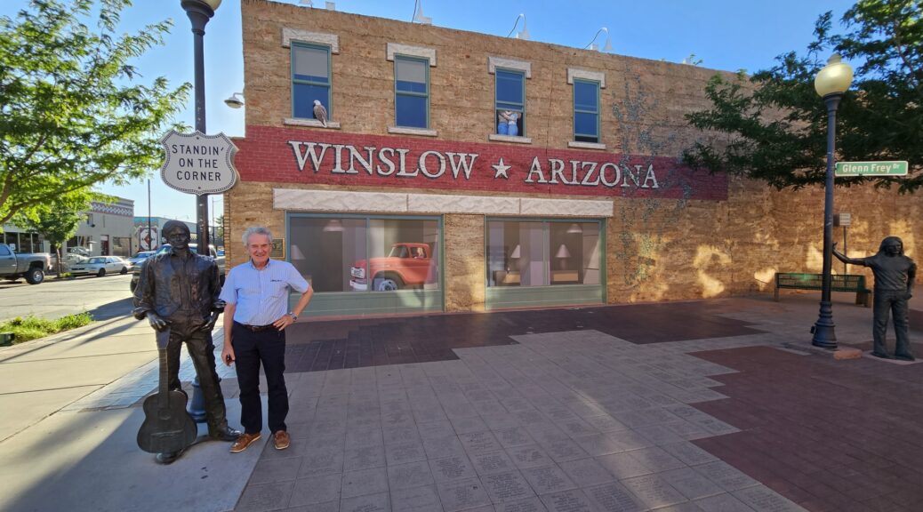
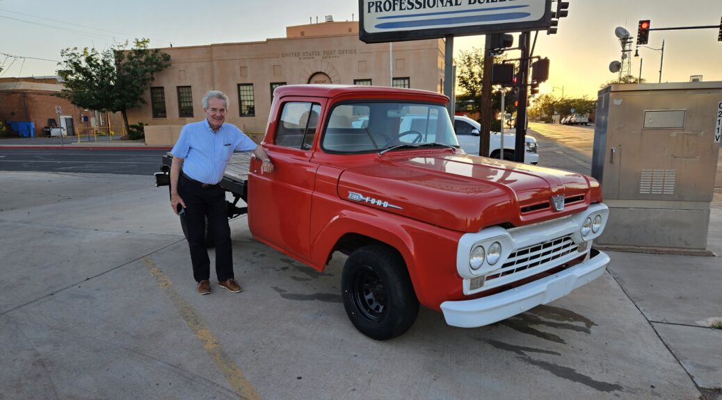
His reasons for this were classic “Dad”. The Eagles sang the famous song “Take it Easy“, featuring the lyrics “Standing on the corner in Winslow Arizona” and going on to discuss the passing by of a girl in a flatbed Ford. We would be visiting the famous corner so that he could stand on it himself!
We found accommodations at a motel downtown, named “Sleeping on the corner”. Winslow has really embraced the “Take it Easy” theme. It was just a few blocks walk to downtown for dinner and corner-visiting, as well as a quick rendition of Take it Easy while in he famous spot!
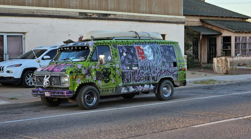
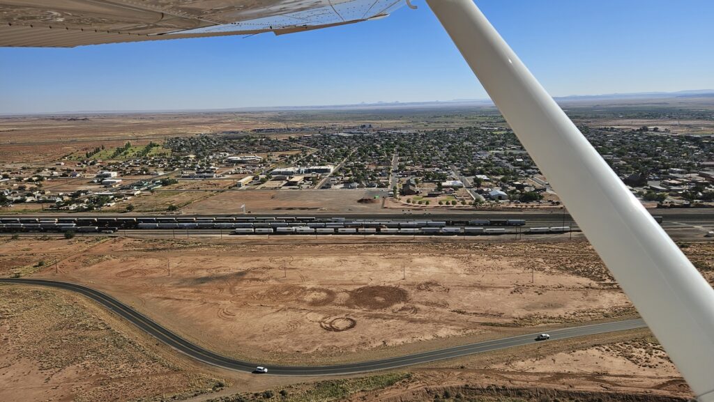
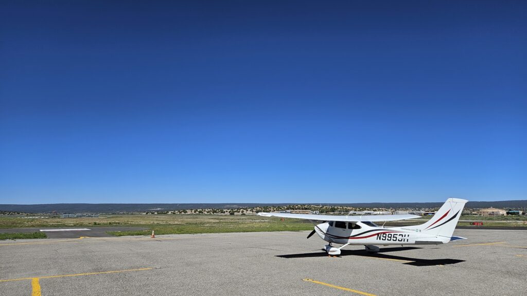
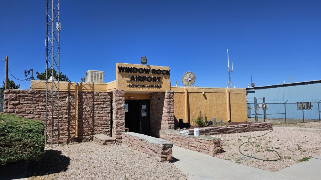
The penultimate day of the trip dawned sunny and bright. We packed and caught a ride from the motel owner in her muscle car straight to the airport; breakfast would come at our first stop, after a short flight. It was just under an hour’s flight to the airport at Window Rock; here we walked across the highway to a nearby hotel for a breakfast of pancakes and bacon before returning to the airport and continuing east.
Window Rock is the capital and seat of government of the Navajo Nation. Its permanent population of about 2,500 swells to around 20,000 on weekdays when all the tribal offices are open. Its elevation of almost 6,800 feet means that the climate is cooler than most of Arizona although on a late June morning it was still pretty warm. The effect of the elevation and temperature could be felt in the high density altitude, robbing Planey of performance as we climbed out after breakfast. The added weight of pancakes was thought to have had negligible effect.
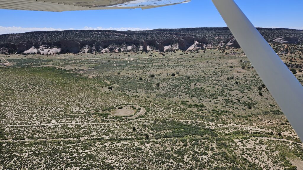
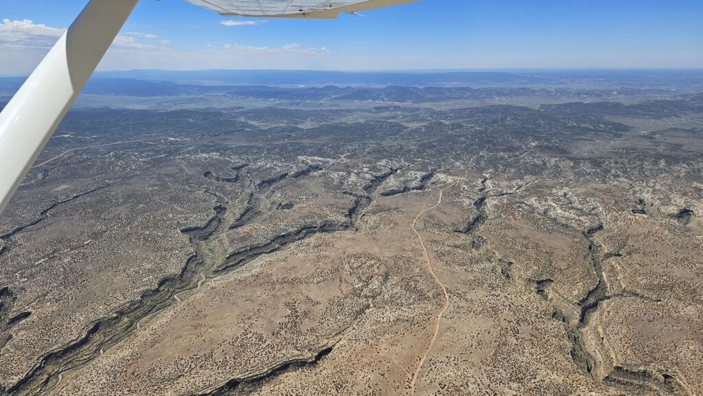
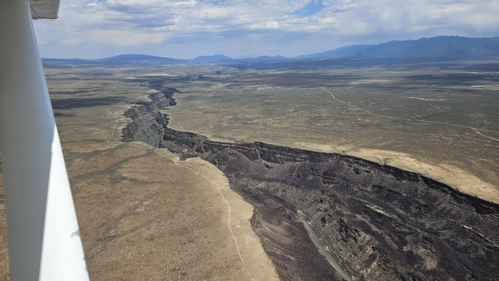
The ground gradually rose below us as we approached that great tipping point of the North American continent, the Continental Divide. It is here that the watershed divides; rain falling to the west of this line makes its way to the Pacific, while rain falling to the east flows to the Gulf of Mexico or Atlantic. We had one more stop to make before crossing over, at Taos airport to refuel. As we descended towards the field we crossed the Rio Grande river which flows all the way south to eventually form a large part of the US/Mexico border.

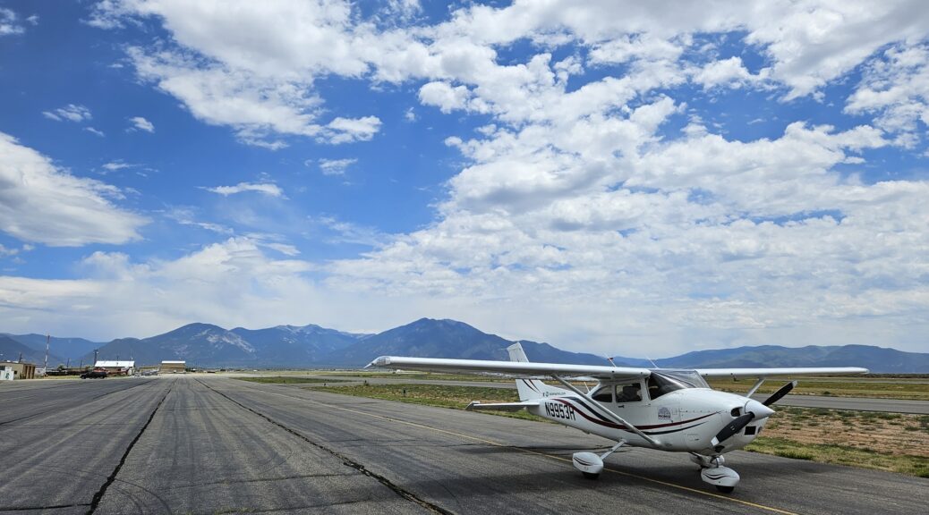
On arrival at Taos we received bad news; the fuel pumps had just gone down so no avgas was available for purchase. Fortunately we did still have a little fuel on board, and the airport at Angel Fire was not far away, so we took off again and flew the short hop through the mountains.
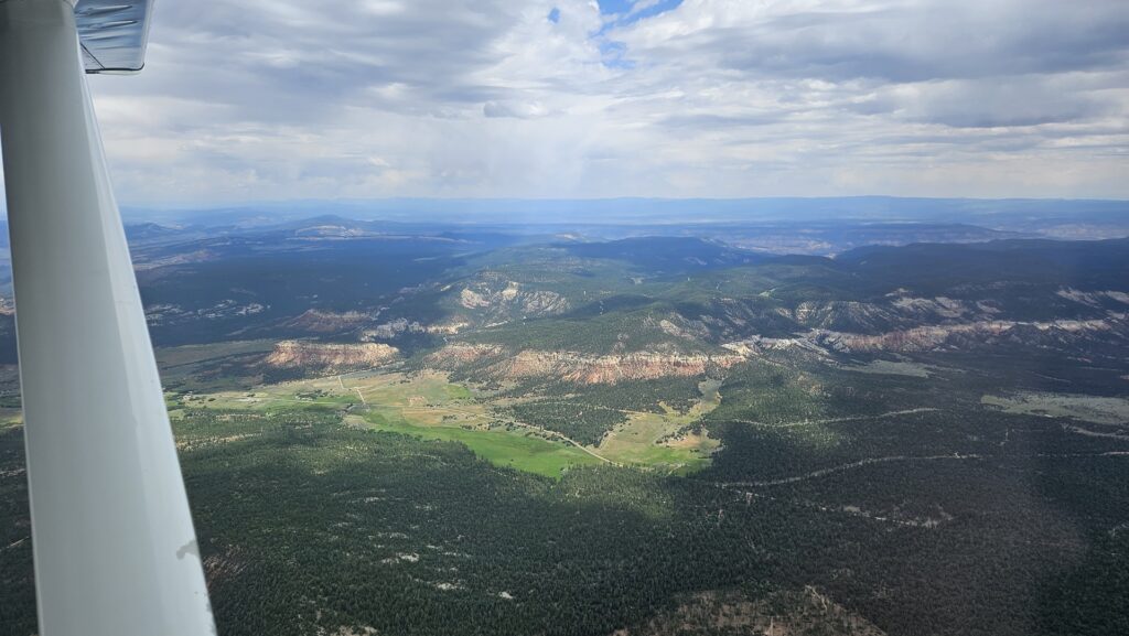
Angel Fire airport sits at an elevation of 8,900ft. With the day’s temperatures the density altitude was almost 11,000ft. As a result I chose not to fill the tanks, but simply to put in adequate reserves to get us to our next planned stop. This meant a bit less weight on board Planey and correspondingly better performance on departure. As is required at high elevation airports we ran the engine up before departure to lean the fuel mixture for best power before taking off to the north and gaining altitude over Eagle Nest Lake before turning east to follow US Highway 64 down Cimarron Canyon towards the plains.
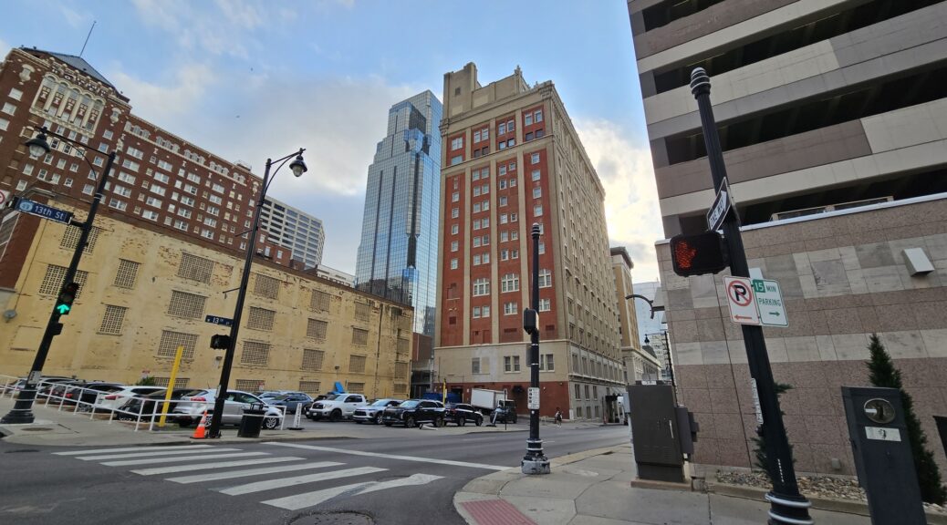
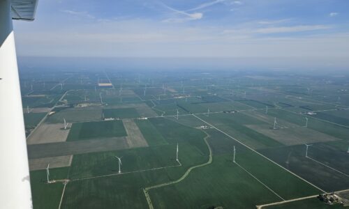
We continued across the remainder of New Mexico into Colorado, and then Kansas. The terrain changed from rugged mountains to vast flat plains, covered in agriculture and the occasional rural town. After a stop in the town of Kinsley for lunch we carried on to our final night stop. This was to be Kansas City, sitting on the border of Kansas and Missouri. We landed at the downtown airport on the Missouri side of the river.
The four parking spots dedicated to the city-run FBO were all taken, but we found space next to a private jet which had parked up along the edge of the apron. Although the airport does host a couple of commercial FBOs, the city-run facility is much cheaper and more convenient for those who don’t need to be shuttled to and fro on a golf cart. The downtown airport is ideally located for a quick Uber ride to the city center and we enjoyed a quiet final night of the trip.
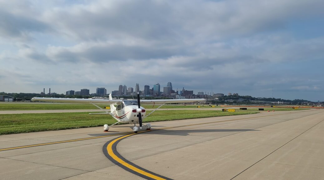
It was finally here – the last day of the round the world adventure. We were back at the airport nice and early, keen not to be late to Zelienople as there’d be a group of people waiting to welcome us back. We snapped a couple of photos of Planey with the downtown buildings rising behind him before jumping into the cockpit and departing east once again.
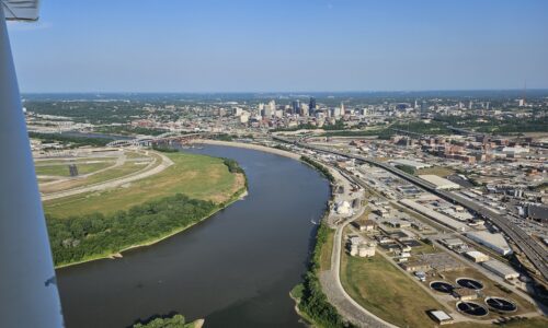
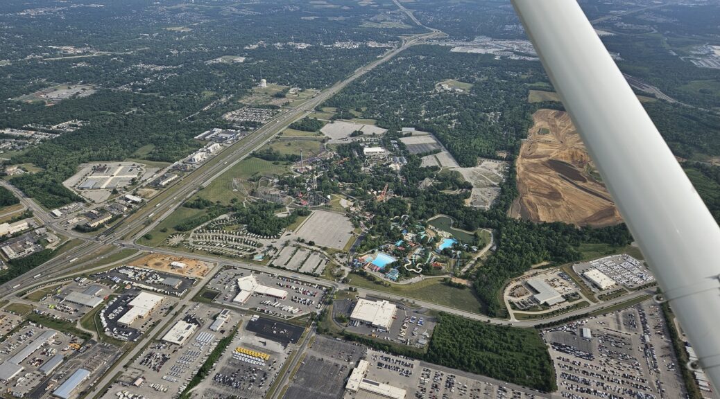
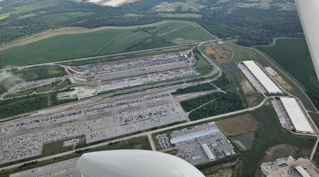
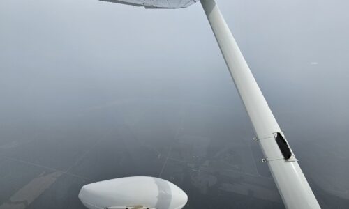
As we climbed we had great views of the “Worlds of Fun” theme park, and an enormous rail sorting yard a little further on. Out to the left we could see a large storm system that would be following us across the eastern half of the country; thankfully, it stayed out of the way as forecast and we quickly pulled away from it. Large scale wildfires in Canada had spread smoke widely across the US in recent days, at times causing visibility to drop so dramatically that flights could not operate. Although slightly improved, we still passed in and out of bands of thick smoke as we flew.
Half way to our lunch stop we crossed the Mississippi, another great dividing line of the North American continent. A little further on we came to our stop, Vermilion Regional Airport in Danville, Illinois. What attracted us to this airfield was the good fuel price, and availability of a crew car to visit the nearby McDonald’s! The airport offered one surprising attraction though, which was a beautifully restored World War II vintage P51 fighter aircraft. We were lucky enough to see it fire up the engine for testing while we were there.
Full of McDonald’s food, we took to the sky one last time. Presently we received a message over the Garmin InReach, from Carrie back at Zelienople. She wanted to know what time we’d be arriving and, when I told her, she texted back and said that we were too early and should kill an hour somehow. We brainstormed a bit and decided that instead of just landing and waiting somewhere, we would fly an interesting pattern in the sky.
My first suggestion was to fly a large letter “Z”, for “Zelienople”. My father pointed out that this letter had been coopted by the Russians for their terrorist activities in Ukraine, however, preventing me from inadvertently drawing a giant hate symbol in the skies over Ohio. Instead we decided on a pineapple, in honour of the Pacific crossing which I had just completed.

It took a few attempts but I eventually managed to sketch a passable pineapple using the freehand drawing tool in Foreflight, and we turned north to begin the exercise. Our track took us close to, although not into, the airspace around Cleveland and I did wonder what the controllers must be thinking about the strange aircraft to their southwest. It was simple to fly on autopilot, adjusting the heading every few seconds to trace out the curve of the pineapple body. The sharp turns for the leaves were more interesting!
The pineapple took longer than expected to draw. Once started, it was hard to de-commit and leave with just half a pineapple. Eventually we made it to the base and were back on track, descending through the familiar airspace around Pittsburgh, Pennsylvania.
We had received a message through Carrie requesting a fly-by and were happy to oblige, although a C182 fly-by is not quite as awe-inspiring as a fast jet. This done, we circled around for landing on runway 17. The reason that they’d wanted us to delay soon became apparent; two fire engines had been arranged to be standing by on our arrival to deliver a water-cannon salute!
Amusingly, some of the firefighters were the same individuals who had been called in to cover my gear-up landing in the Condor Aero Club Piper Arrow nearly 10 years earlier. It was nice to see them at a less dramatic homecoming!
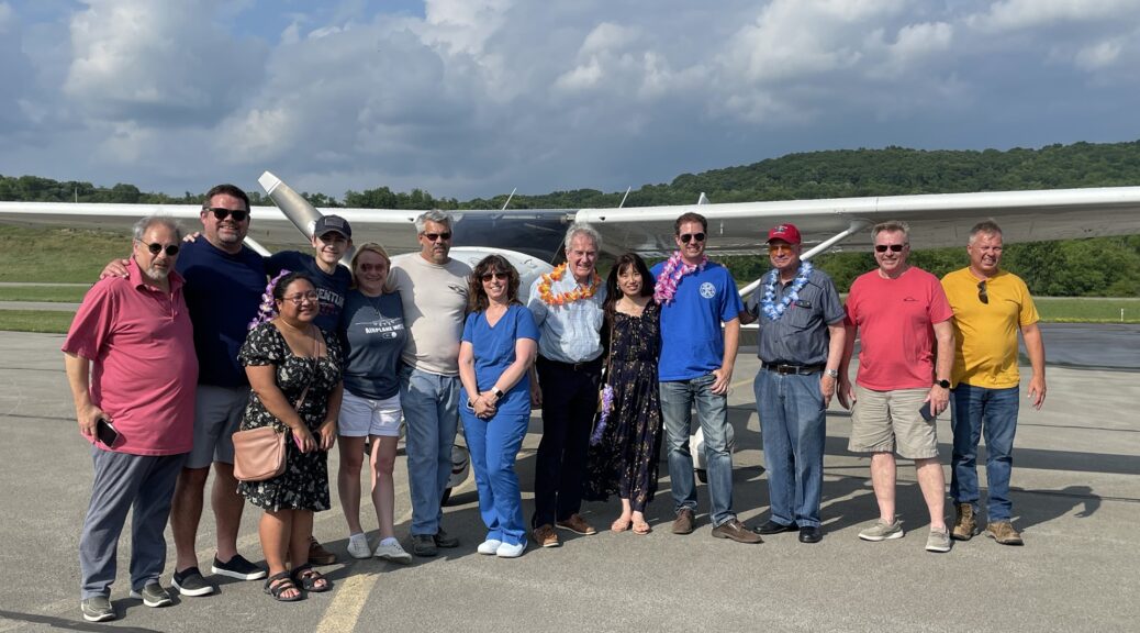
As we approached the turn-in to the main general aviation apron they opened up their hoses and we passed underneath the arches of water and came to a halt in front of a little group of friends and well-wishers. Juvy had turned up with enough Hawaiian Leis for everyone, to make up for the lack of them on arrival in Honolulu.
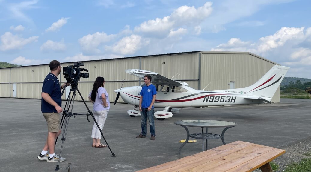
We shut down and climbed out. It was touching to see how many people had taken time out of their day to come and see us arrive, many of whom had been here for my departure more than four years earlier. Local news had even shown up to film a short piece about the return. That night we had a small dinner with close friends; the proper celebration would come the next night.
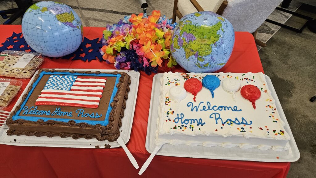
Jason and Carrie had taken the lead in hosting a homecoming party at Jason’s hangar, mirroring the great departure party which they’d help before departure back in 2019. It was a perfect end to a much longer adventure than any of us had foreseen. I spent much of the evening drawing my route in permanent marker on the many inflatable globes which had been brought in as decorations, for people to take home as souvenirs. I did, of course, make sure to keep one for myself!
It was bittersweet to attend the party and celebrate with so many close friends. It meant the end of a project which had lasted more than a tenth of my life. For now, though, it was time to rest, get stuck in to some refurbishment work on Planey, and start to plan the next adventure. What could top this?
Click here to return to the adventures index.
























4 thoughts on “Round the World – The Pacific, Part 13”
Congratulations Ross. It’s been awesome watching your globe trotting adventure unfold over the last five years. I’ve enjoyed watching you spend extended time in my birth country, New Zealand, and my adopted home of Australia. I can’t wait to see where Planey will take you next.
Thank you, Andrew!
Hey Ross. Congratulations on your new role in Australia. Welcome back! I’m looking forward to reading flight reports on this next trans-hemisphere adventure. I see you’ve flown some longer trans-Atlantic legs this time. I guess your recent RTW experience gives you more confidence to fly extended ocean legs. I’m also curious to read your final report on your trip to Bermuda. Did you actually complete this in the end?
Thank you Andrew!
The route this time was mainly chosen based on expected best weather at this time of year, and also the opportunity to see some new places. At 1,250nm the longest leg was shorter than many on the round the world flight, so comfortably within capabilities of the ferry system.
The Bermuda trip was excellent and will be written up as soon as I find the time!