Alaskanada – Western Alaska
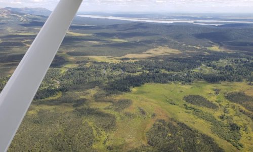
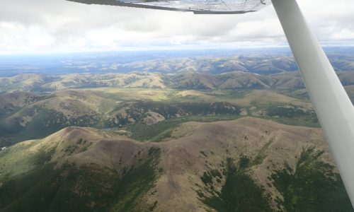
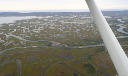
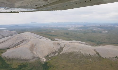
The terrain north of Kako was composed of beautiful rolling hills, dotted with forest and lakes.
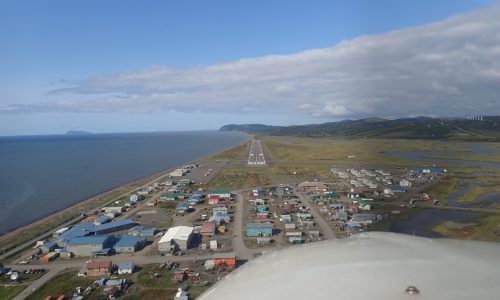
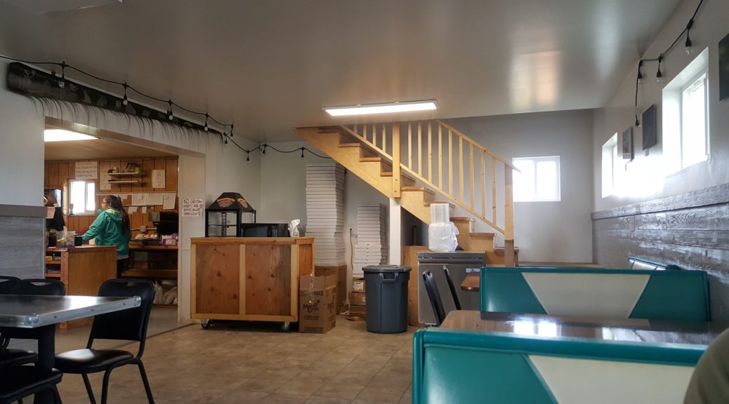
Unalakleet is the home of the famous Flying Wild Alaska shows, although the airline has now merged with another. We didn’t see anybody we recognized. After fueling up we went to explore the town and grab a bite to eat. We ended up in a pizza restaurant that was very forgettable, with astonishingly slow service, but at least they were friendly, and even had wifi on offer! The restaurant had a variety of memorabilia of the Iditarod Air Force, the volunteer bush pilots that support the Iditarod Sled Race which passes through the town.
On our return we met a Swiss lady waiting with a very large pile of luggage for her airplane to return and ferry her out to join friends fishing for a couple of weeks in the wilderness. It sounded very adventurous! We flew north to find a camping spot for the night, and settled upon Salmon Lake, in the hills north of Nome.
We set up camp at Salmon Lake and walked down to check out the lake itself. To our surprise it was packed full of salmon, spawning and dying just feet from shore! I suppose the name should have clued us in. Eagle-eyed James spotted a mother bear and 2 cubs through the binoculars, which caused quite some consternation. It turned out on further review that they had rather long skinny legs for bears, and we relaxed a bit as the moose wandered off.
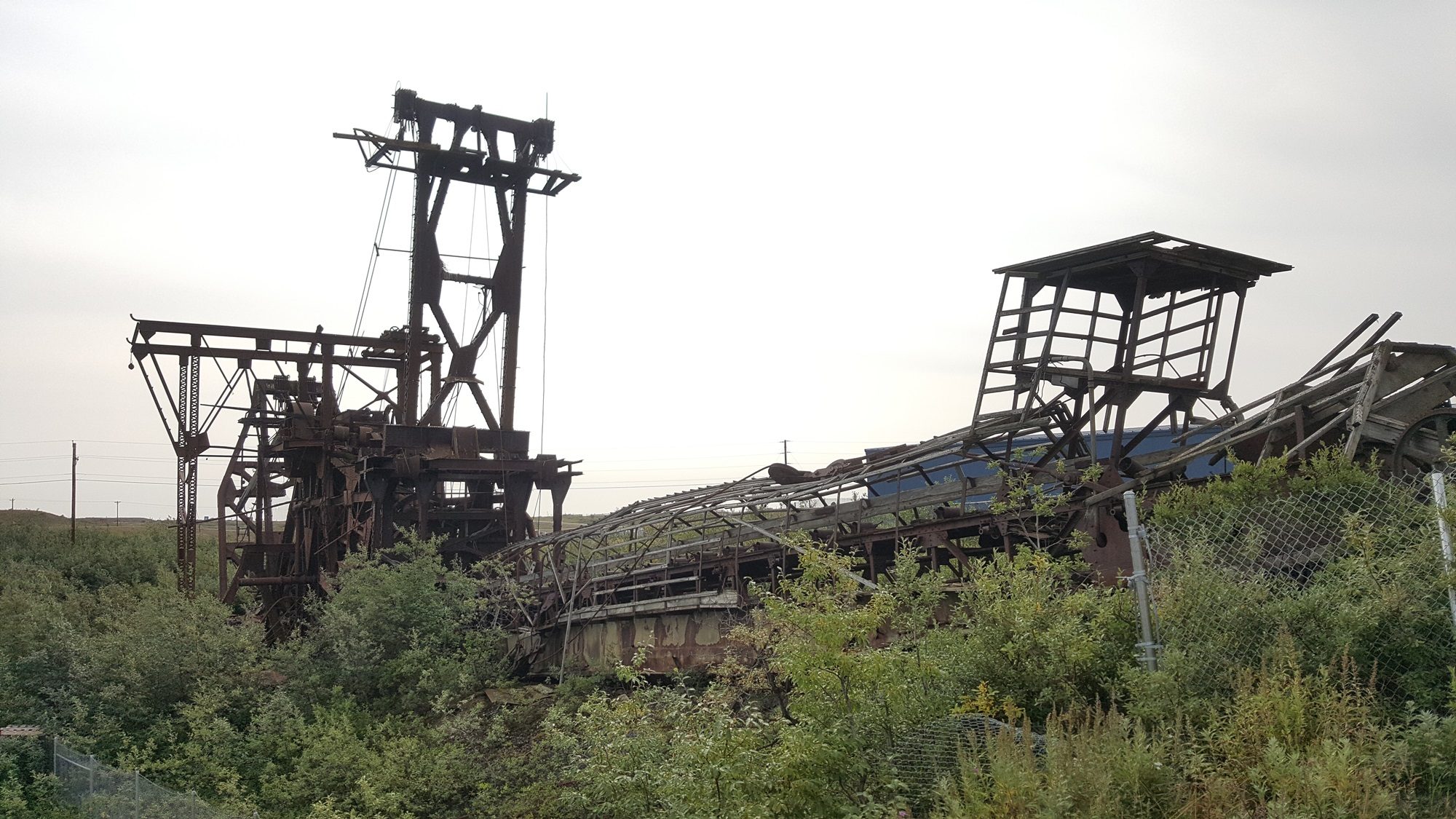
The next morning we took off downhill, rolling down the smooth 2,000ft gravel strip and turning out right over the lake to head south for Nome. On the way in, we spotted what were presumably some relics of the cold war, to catch those pesky Soviets before they could get too close. Nome is well known for gold dredges, and we flew over a couple of giant abandoned old behemoths as we approached the airport.
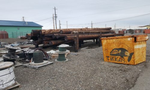
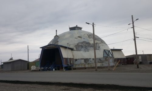
We walked from the airport to have a look around town, and a bite to eat. Dredging equipment of all shapes and sizes was scattered around town. Nome is the end point of the annual Iditarod dog sled race. Much of the race course is supplied and monitored by ski planes, operating as the “Iditarod Air Force”.
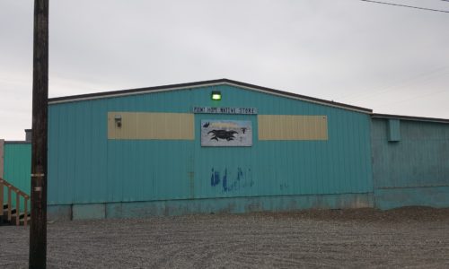
Breakfast completed, we stopped into a store for a few supplies. I bought a flare gun, both for emergency signalling and emergency bear discouragement. Shopping completed, we headed back to the airport to continue our trip along the coast.
Today’s flight would take us as far West as possible, hopefully to within sight of Russia, before heading north to find a camp site for the night near Barrow. The first leg was to Point Wales, just a few miles from the Diomede Islands.

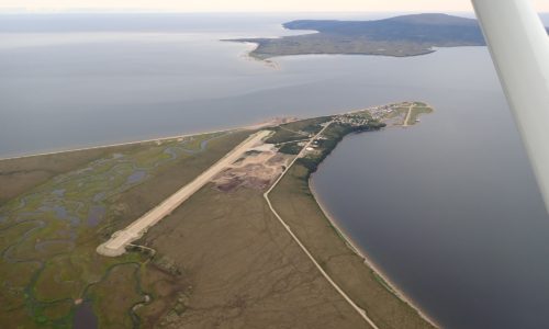
Our first leg took us past the coast guard station at Port Clarence, and the Tin City Long Range Radar Station, before setting down at Point Wales in a howling gale. We didn’t spend long on the ground; it was remote, bleak, and cold, and we had a long way to go.
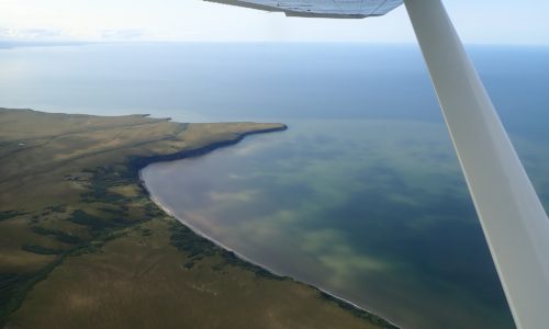
There was cloud and mist off-shore as we’d arrived, and the visibility out to sea hadn’t been great. As we took off, however, conditions were clearing up and we climbed higher to improve our view. Before long at all, the Diomede islands were in view, and not long after that we could see the coast of mainland Russia. These soon fell out of view behind us, as we continued northeast along the coast towards the town of Kotzebue.
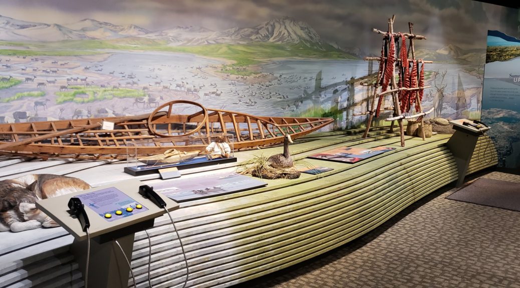
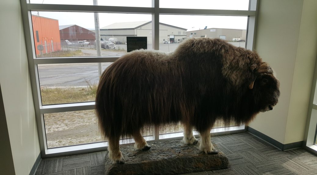
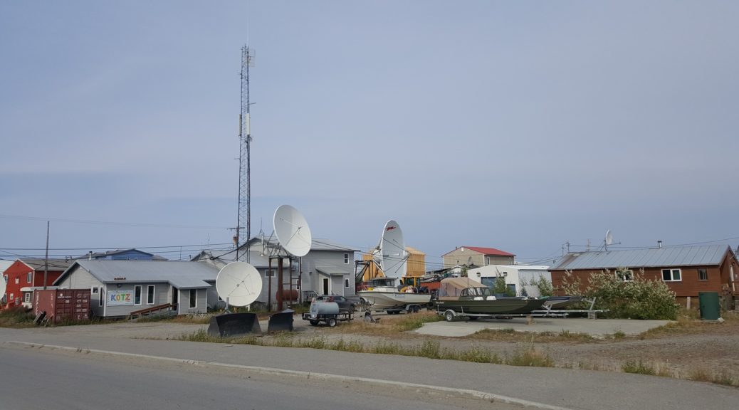
We taxied to Bering Air, and filled up with AVGAS. As with most places around Northern Alaska, cost was running around $8/gallon; still cheaper than Europe! Bering kindly allowed us to leave the aircraft parked next to their facility while we went to explore. As with many of the airports in Alaska, all of Kotzebue was an easy walk from the airport. First stop was the national park visitor center, offering information on the history of the local area and how the natives have historically lived. We stopped at the local restaurant for dinner, much better than the food in Unalakleet! After that, however, our day was not done; we returned to the airport and struck out north again.
After that, however, our day was not done; we returned to the airport and struck out north again. Following the coast to the northwest took us past more small communities on the shore, and over the Red Dog port, supply and export base for the Red Dog mine. This mine is the world’s largest producer of zinc, and also has its own paved runway up at the mine itself.
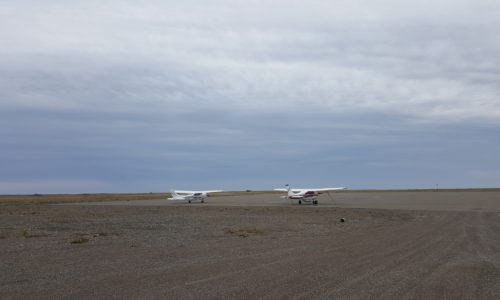
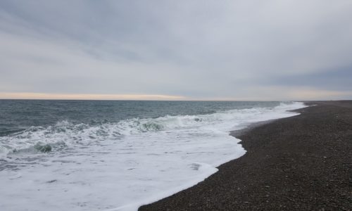
We parked up next to a bush-modified Cessna 206 and went to dip our feet into the arctic ocean. While James hung out at the aircraft I decided to walk into town, which for once was much further than expected. Thankfully, as I was walking out after having had a look around, one of the residents offered me a lift on his four-wheeler!
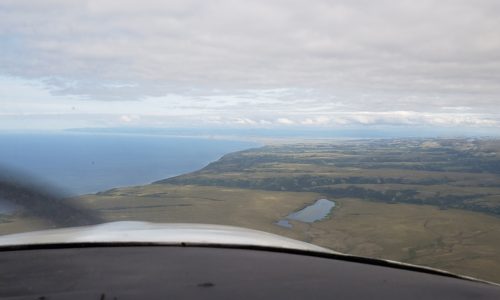
Finally back at the airport, we took off for the last flight of the day. The weather to the northeast was deteriorating so we elected to just see how far we could safely get, with a few potential stopping points identified along the way. The ceiling deteriorated and before long we were flying at a (still safe and legal) altitude of “not very much”. We saw a couple of big brown bears on the beach, slightly concerning given that we’d be camping in little fabric tents just a few miles up the coast!
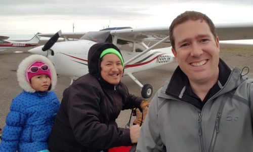
We arrived at Point Lay, our chosen stopping point, shortly before dark. Once again, the weather was rainy with strong wind and overcast of a couple of hundred feet. Perfect camping weather! A kid from the local village turned up on a four-wheeler to investigate and we showed him around the airplane and heard about local life, not to mention about all the bears that were apparently in the area.
Click here to read the next part of the story.
